Expedition to the Cordillera Blanca, Peru.

A Little History
The Cordilleira Blanca wasn’t on the list, but for those who don’t know, I love hiking.
I first got to know high mountains when I took a basic mountaineering course at CAP – Clube Alpino Paulista, and through my time with the locals, I discovered that there was a whole new world that I had never known before.
In 2009, I ventured to the highest mountain outside the Himalayas (Aconcagua, 6,962 m).
I’ll tell you about it in another blog.
In 2010, my friend Alexandro and I started out on expeditions by going to Huaraz, Peru.
Huaraz
Huaraz is considered the South American capital of climbing and high mountains, and is a base for exploring trails such as Laguna 69, Lagos Llanganuco and Laguna Churup, which are located within the Huascarán National Park.
The Cordilleira Blanca is a sample of the Himalayas, with natural landscapes, treks and incredible mountains.
It is part of the Andes mountain range and has been a UNESCO World Heritage Site since 1985.
The city has approximately 130,000 inhabitants and is home to hotels, restaurants and the best tourist infrastructure in the region.
WHEN TO GO
The best time of year to visit Huaraz and the Cordilleira Blanca is between April and September, when it is cool and rainless.
The peak season is between June and July. I prefer to go in August, when the weather is still great, there are few people and the cost is about 30% less.
HOW TO GET TO HUARAZ
The starting point is the capital of Peru, Lima, from there you just have to take a bus.
It is approximately 400 km, 8 hours, US$ 28.00, we went with Cruz del Sur.
We arrived at 7 am and went to the hostel.
Huaraz is at an altitude of 3,100 meters, so we rested and in the afternoon we went to walk around the city.
We went to walk around the city and due to the altitude it was a bit difficult, like the main square, the church, etc.
Places above 3,000 meters require time to acclimatize.
As we had plans to attempt mountains above 5,000 we needed to do acclimatization.
The most popular way to acclimatize is to go to Laguna Churup.
We took a van that leaves from near the market, next to a gas station, and the route goes to the village of Llupa.
If there are several tourists and you pay a little more, they go to Pitec.
Pitec is the entrance to the trail, from there it is about a 3-hour hike uphill.
This is where the altitude is highest, the lagoon is at 4,350 meters.
On the way back we walked to the village to catch the van back to Huaraz.
Since the intention was to climb the Pisco mountain at 5,752 meters, we needed more acclimatization.
So we went on the Quebrada Santa Cruz to Llanganuco trail.
Trekking Quebrada Santa Cruz to Llanganuco
This trail in the Cordilleira Blanca has the most incredible landscapes.
As a result, it is on several lists as one of the most beautiful in the world and is certainly one of the 3 most beautiful in South America.
It is approximately 50 km starting in Cashapampa (35 km north of Caraz).
Day 1: Huaraz – Cashapampa – Llamacorral
We left Huaraz and went to Cashapampa at 2,900 m via the Callejón de Huaylas valley path.
In Cashapampa we began to climb steeply for approximately 2 hours and then the climb eased, but continued to climb along Quebrada Santa Cruz until the campsite in Llamacorral at 3,750 m.
See this BBC travel article about this trail.
Day 2: Llamacorral – Taullipampa
The day was a gentle but steady climb, passing by Lake Jatuncocha.
The landscape is surrounded by the mountains Artseonraju, Rinrijirca, Quitaraju and Alpamayo, on both sides of the trail.
Almost reaching the camp, we took a detour to see Alpamayo up close.
We returned to the main trail and arrived at the Taullipampa camp at 4250m.
From the camp we have a privileged view of the Artesonraju mountain, which is the symbol of Paramount Pictures.
Day 3: Taullipampa – Punta Unión Pass – Paria
We climbed continuously for approximately 3 hours along a trail to Punta Unión Pass at 4,750m. The highest point on the trail.
From the pass we had a complete view of the entire hike and the majestic mountains.
After the effort of the climb there was a long descent towards the Huaripampa Valley to camp at Paria at 3,890m.
Day 4: Paria – Vaquería – Portachuelo de Llanganuco Pass – Cebollapampa
A leisurely walk through the Quebrada Huaripampa valley, where we passed small villages, farms, etc. At the end we climbed for about an hour to Vaqueria at 3700m.
We waited almost 1 hour and our transport arrived to take us to Cebollapampa.
The Portachuelo Pass at 4767m descends a steep zigzag road. Before reaching the lakes of Llanganuco, we stopped in Cebollapampa.
We rested and ate and then set off on a super steep climb to the Pisco base camp.
The camp is at 4700 meters above sea level.
We had dinner and went to rest, as the summit day starts at midnight.
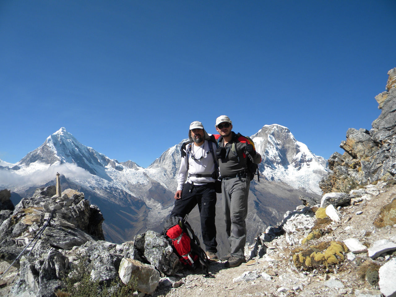
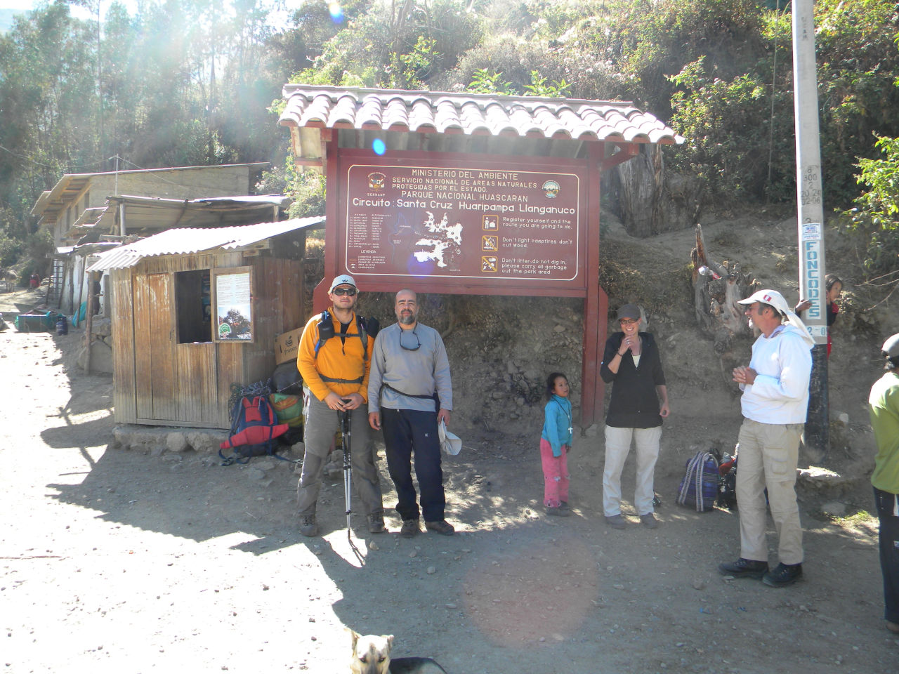
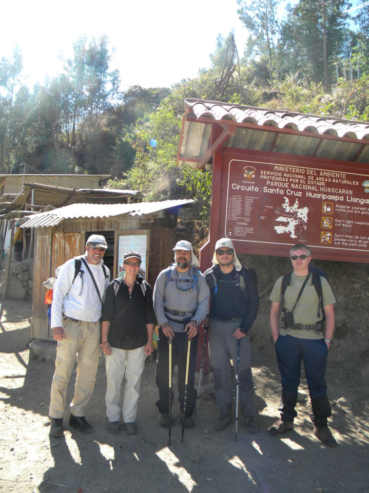
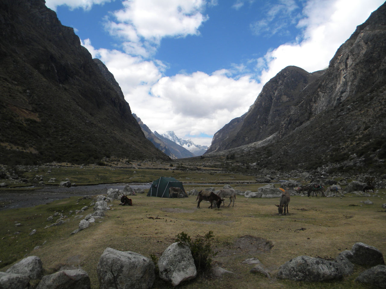
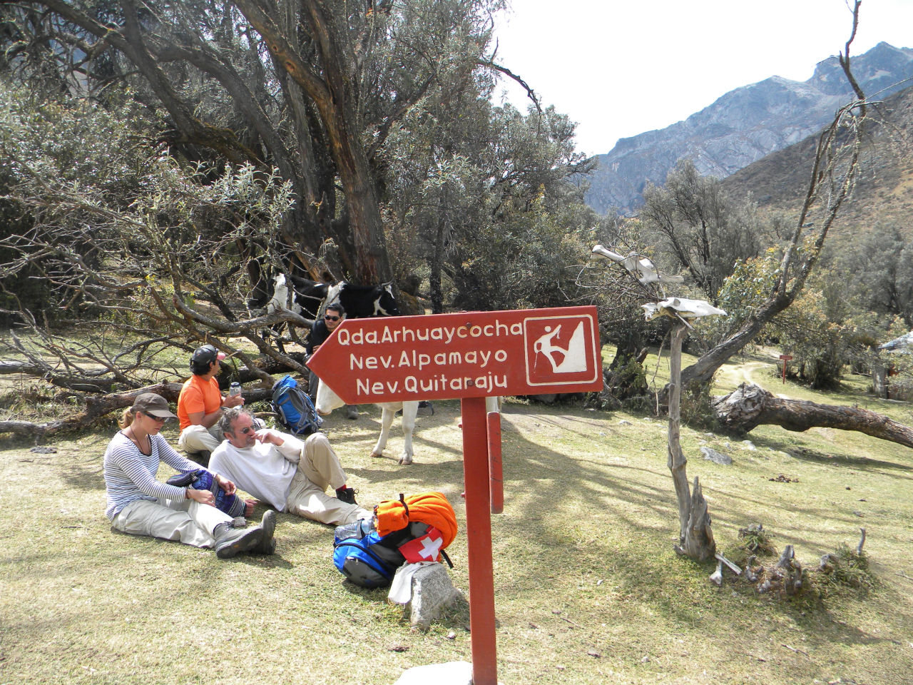
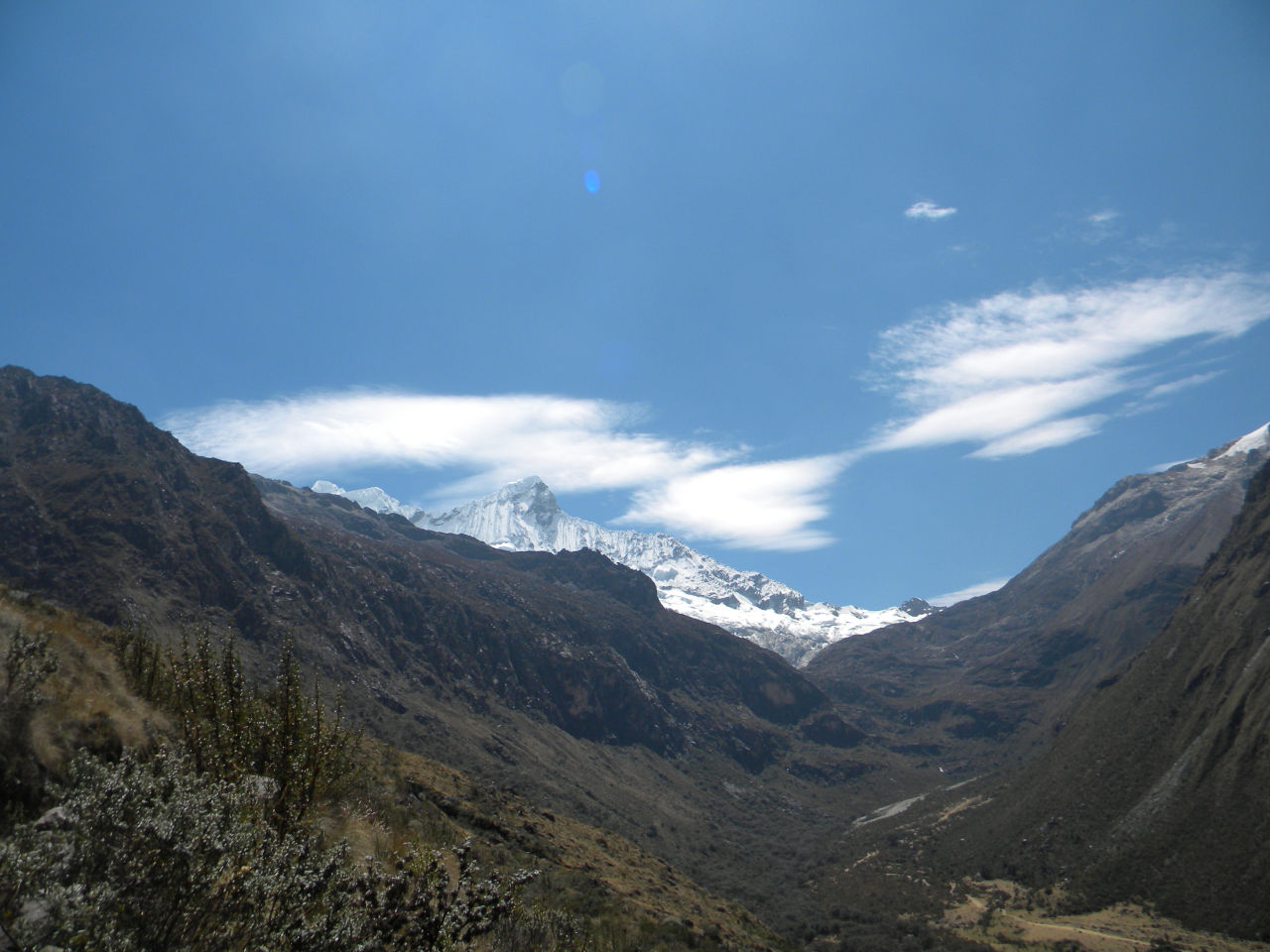
Climbing Mount Pisco.
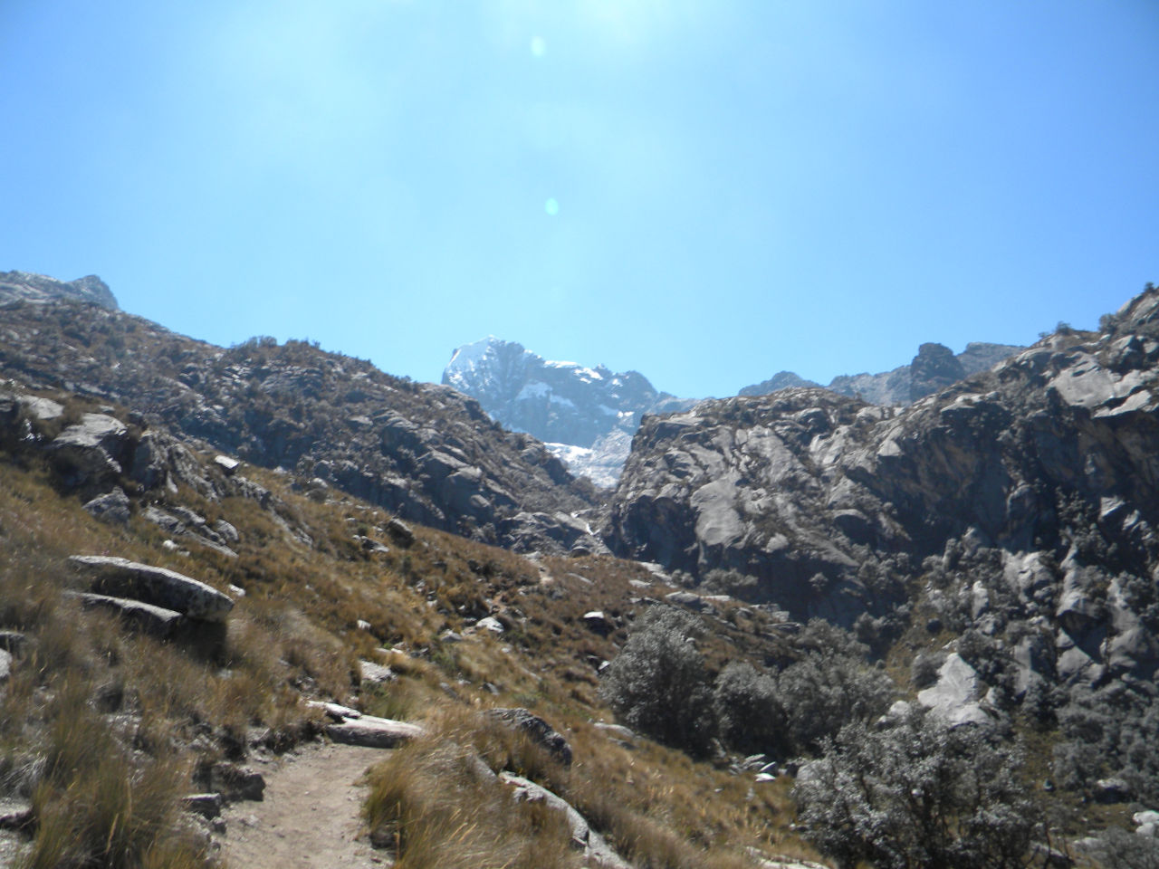
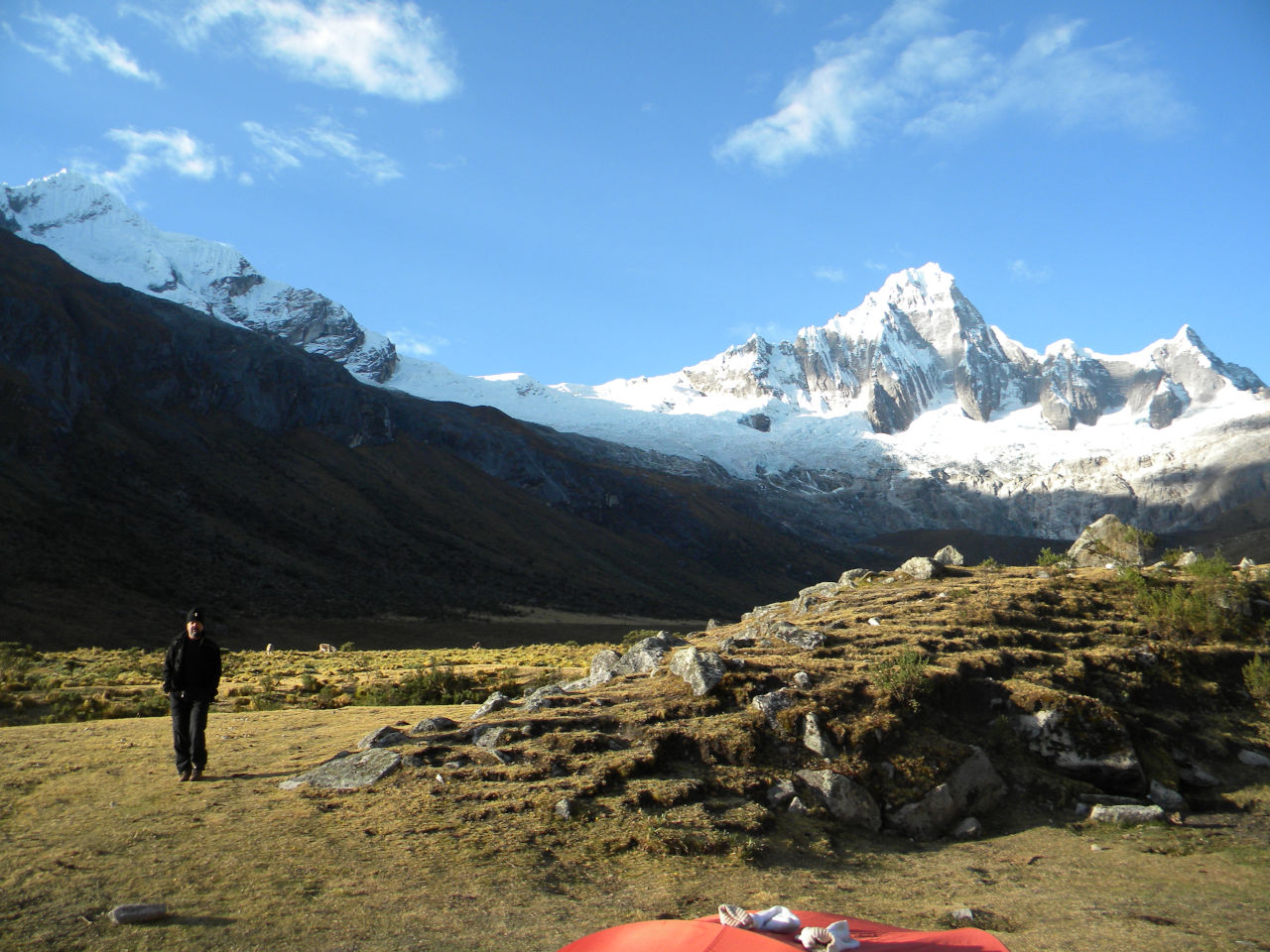
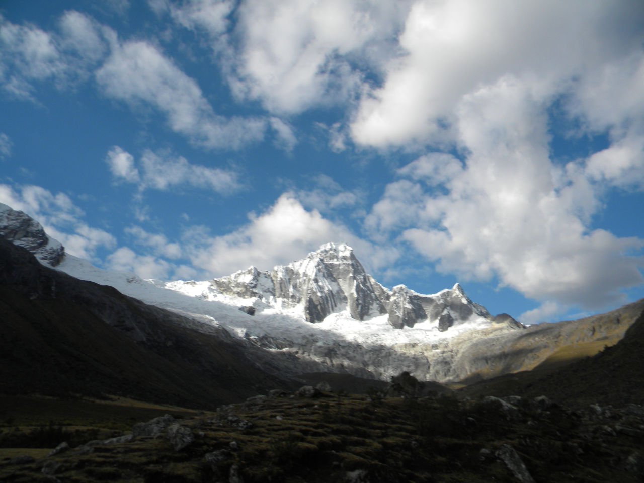
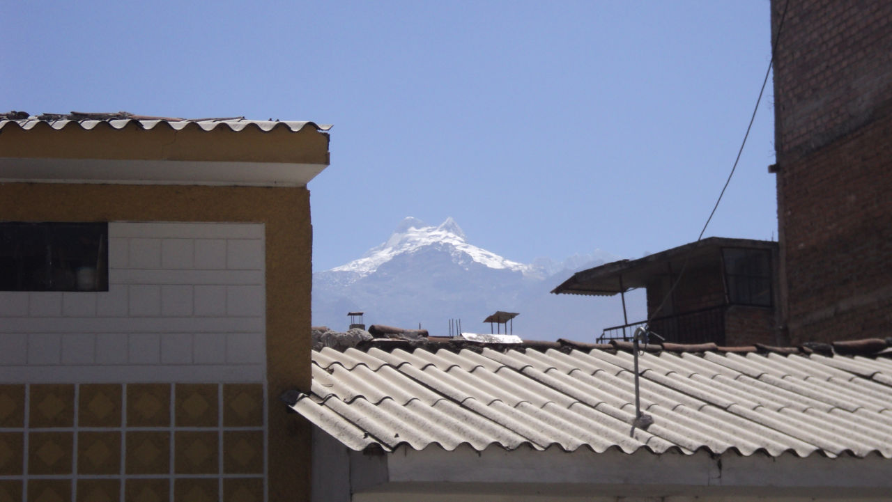
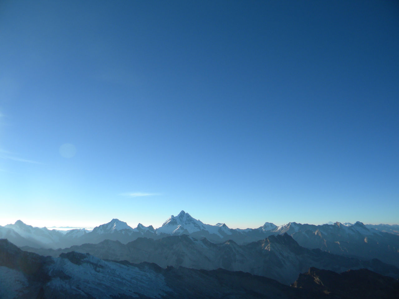
One of the most famous mountains in the Cordilleira Blanca is Mount Pisco.
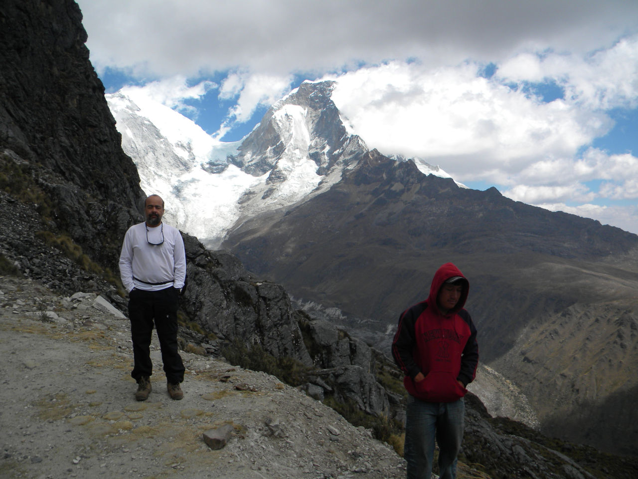
Due to poor acclimatization, Alessandro was unable to attempt to reach the summit.
My guide and I set off for the summit at 1:00 in the morning.
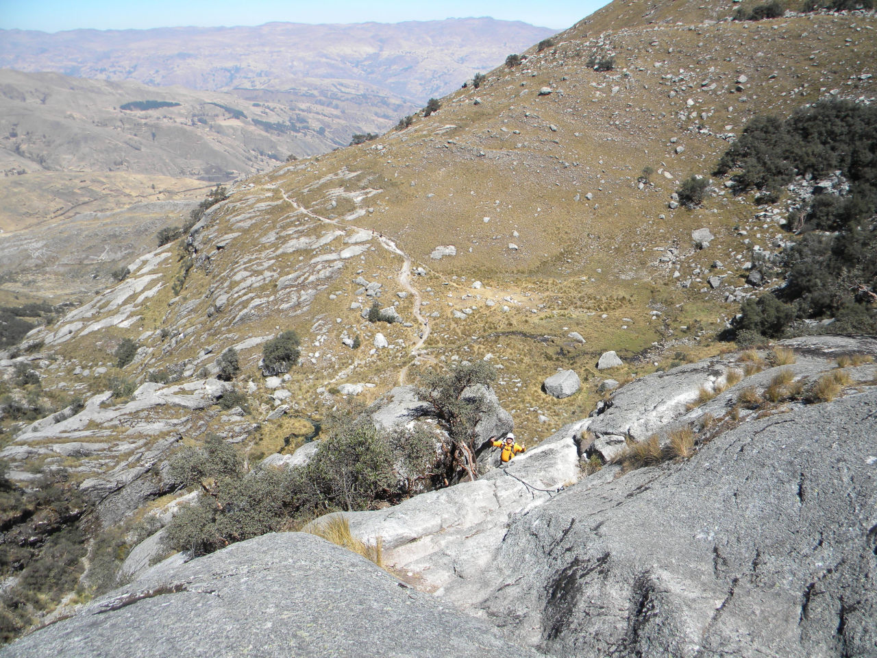
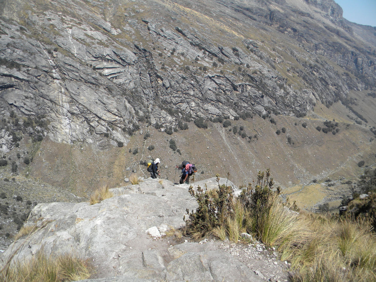
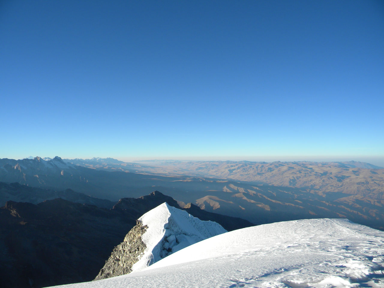
The beginning was a very steep climb on the mountainside.
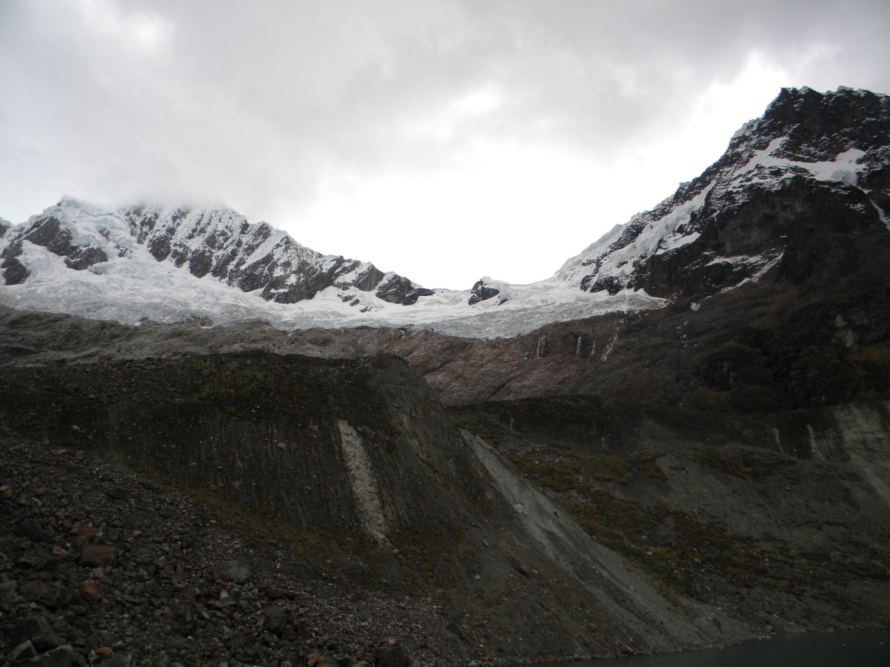
On the other side, it was a very difficult descent, as the side of the mountain had collapsed, which was very dangerous, and it was nighttime.
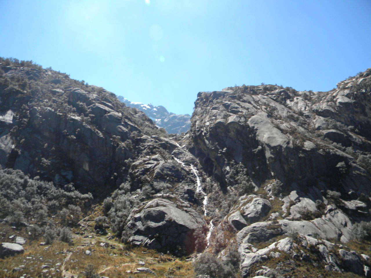
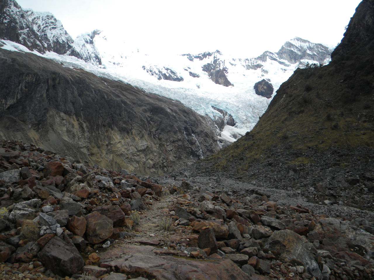
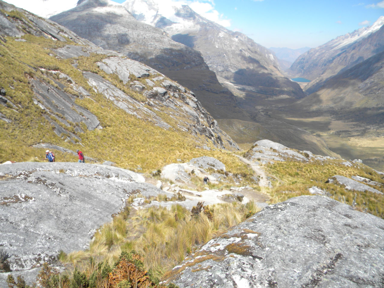
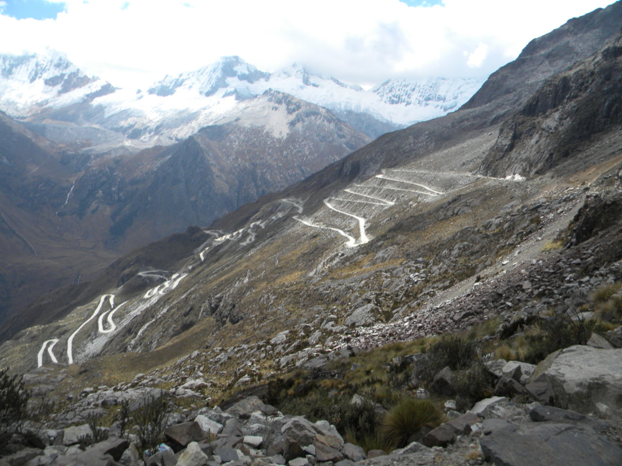
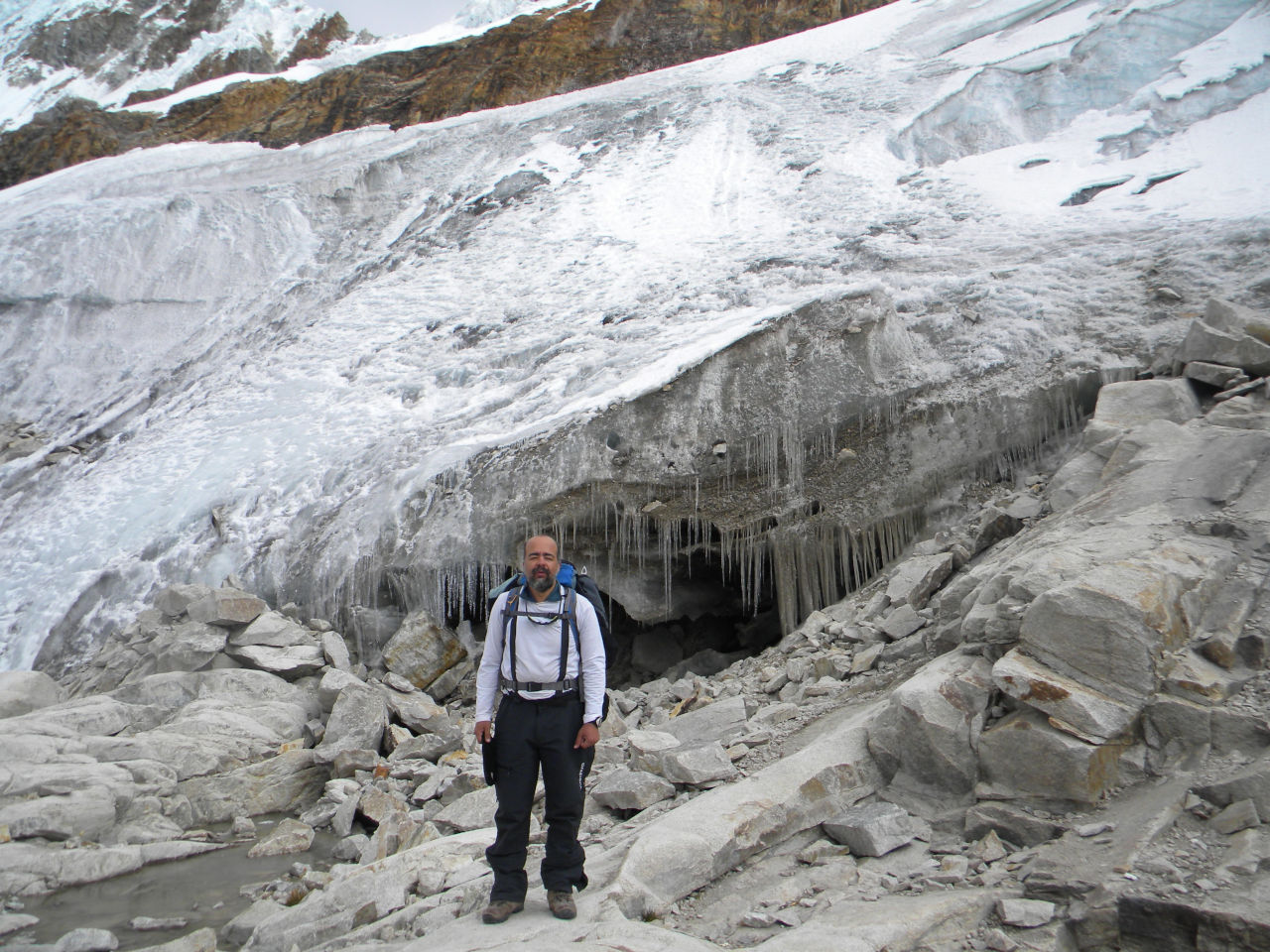
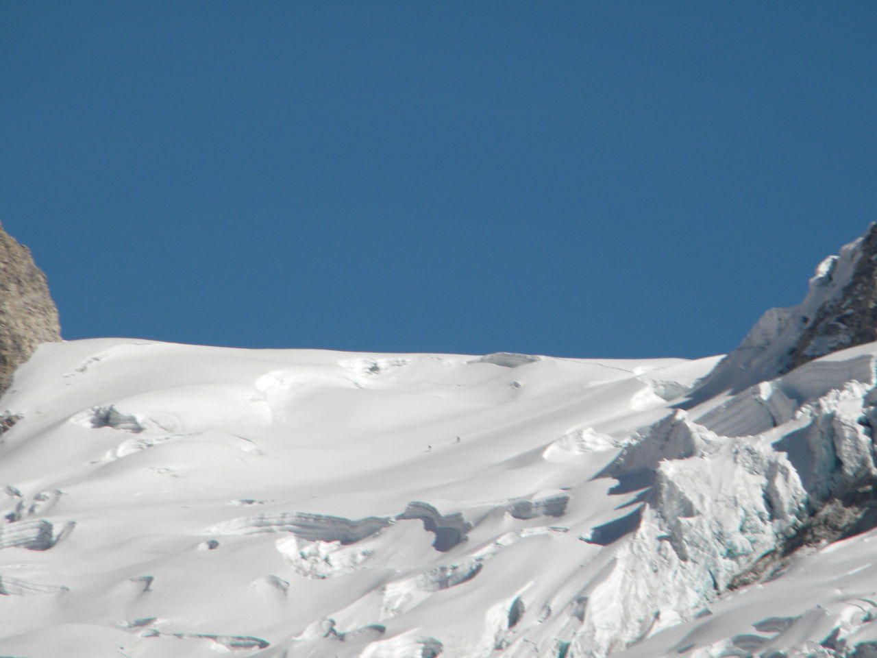
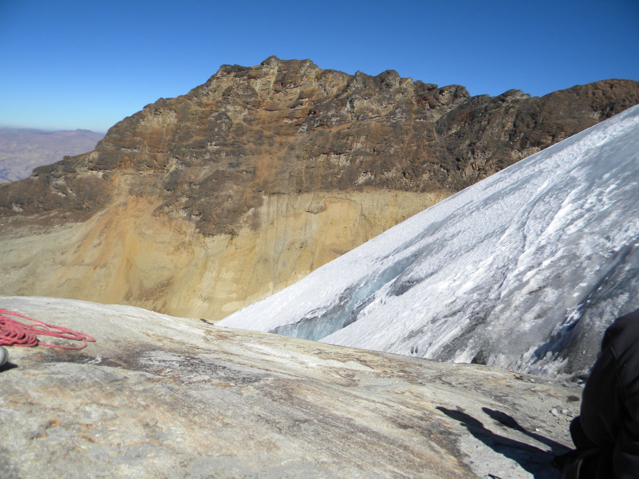
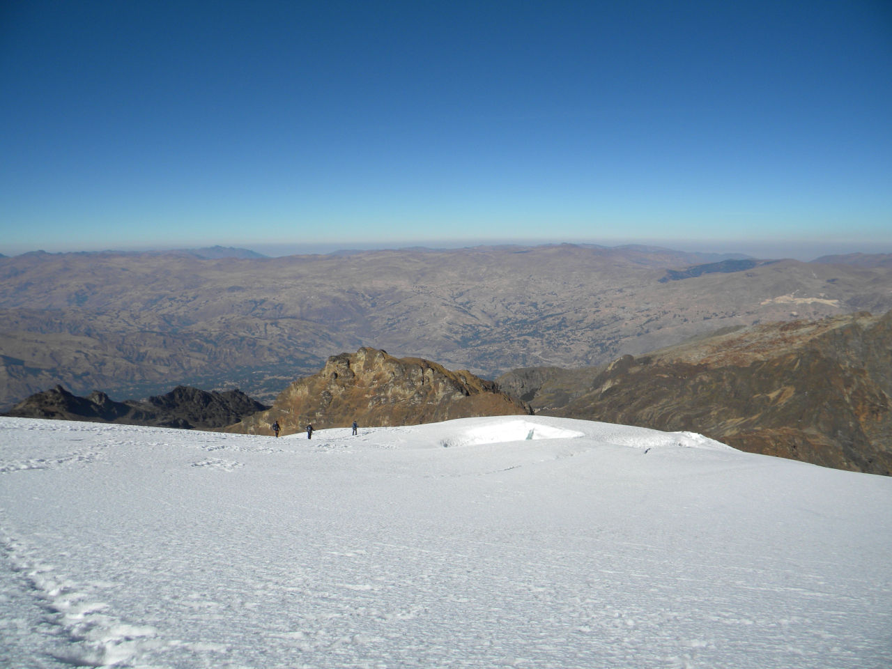
It only got worse when we reached the moraine. It was one of the most difficult and longest.
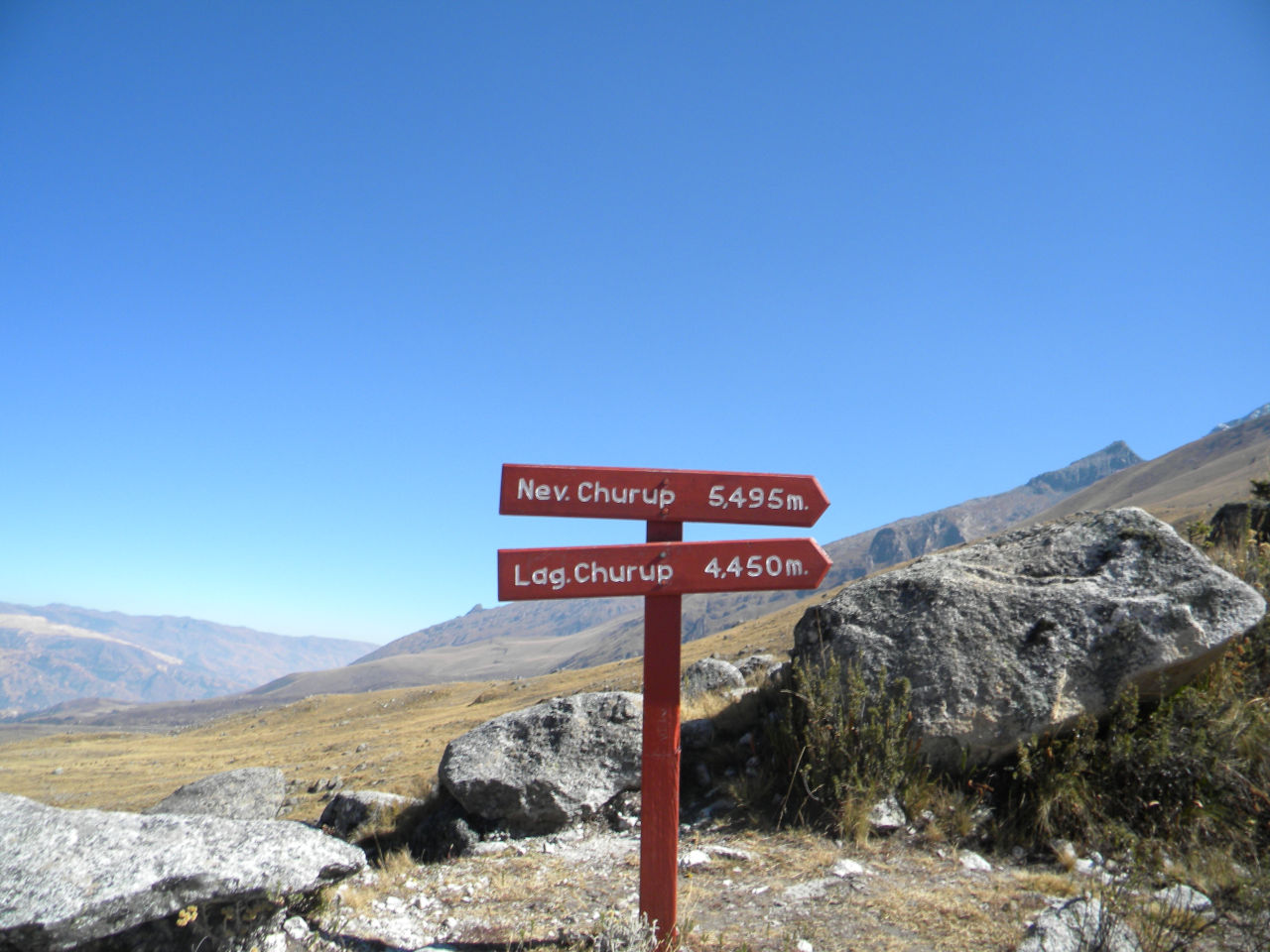
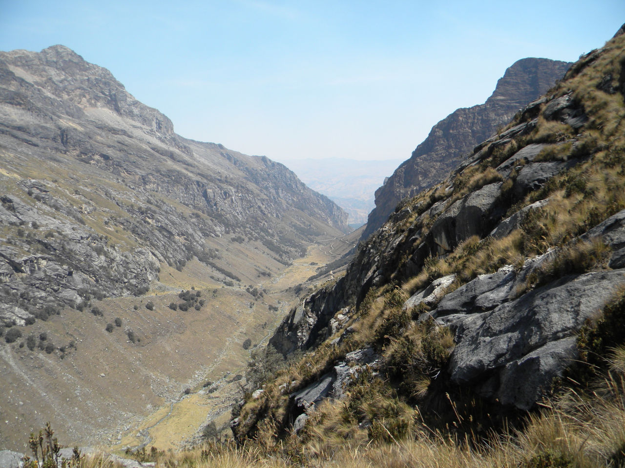
For those who don’t know, a moraine is material left behind by a moving glacier.
This material is usually soil and rock.
Just as rivers carry all kinds of debris and sediment, glaciers transport all kinds of dirt and boulders that accumulate to form moraines.
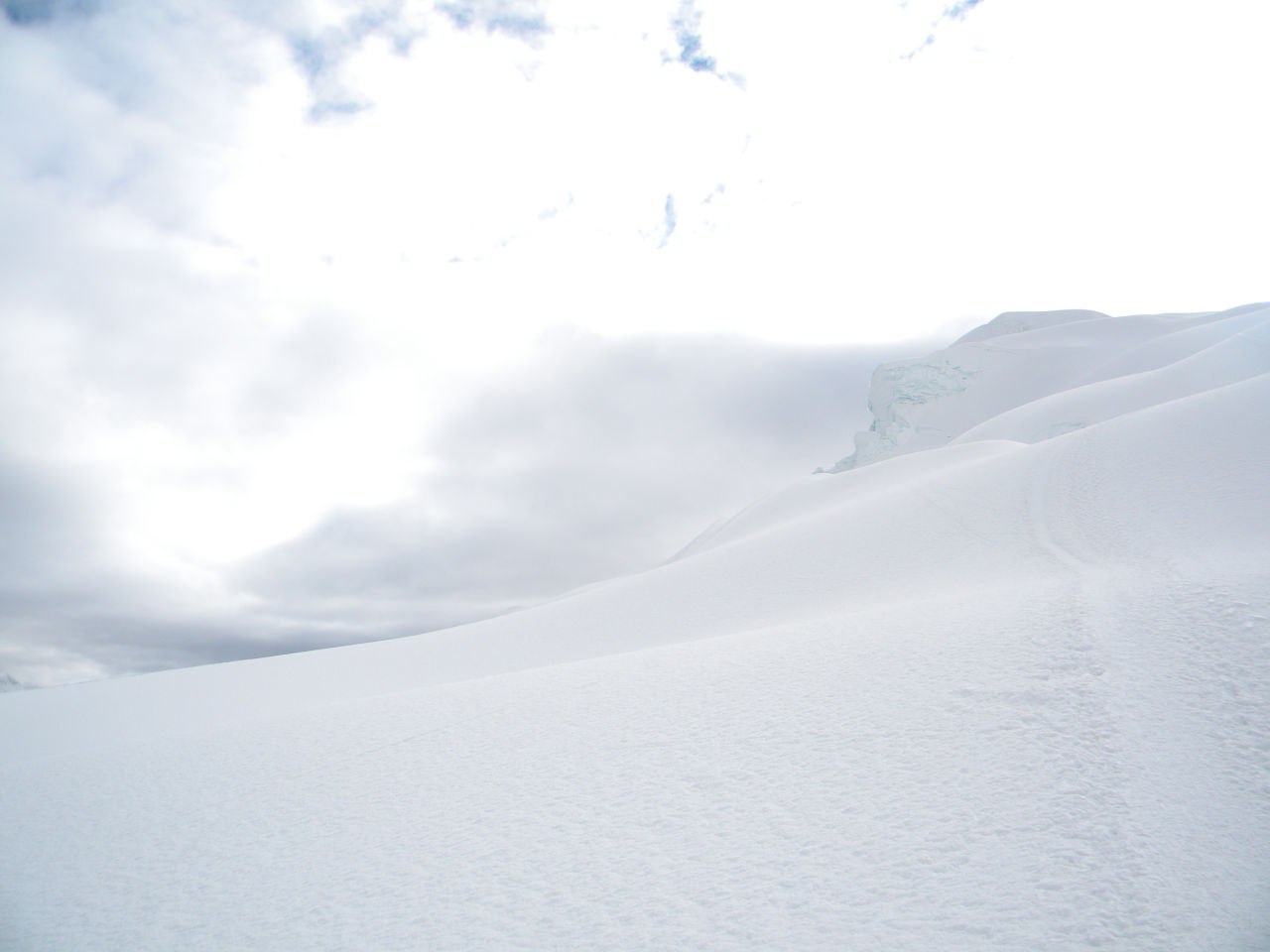
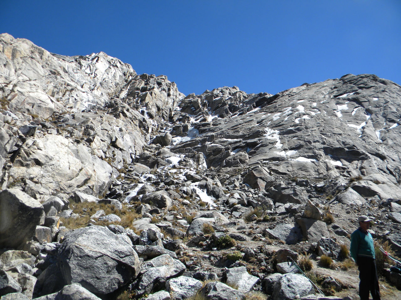
This makes it very difficult to reach the glacier, but at around 4:00 a.m. we reached the beginning of the ice.
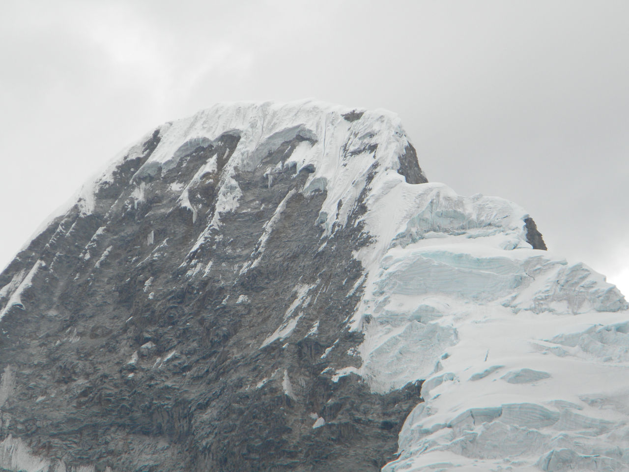
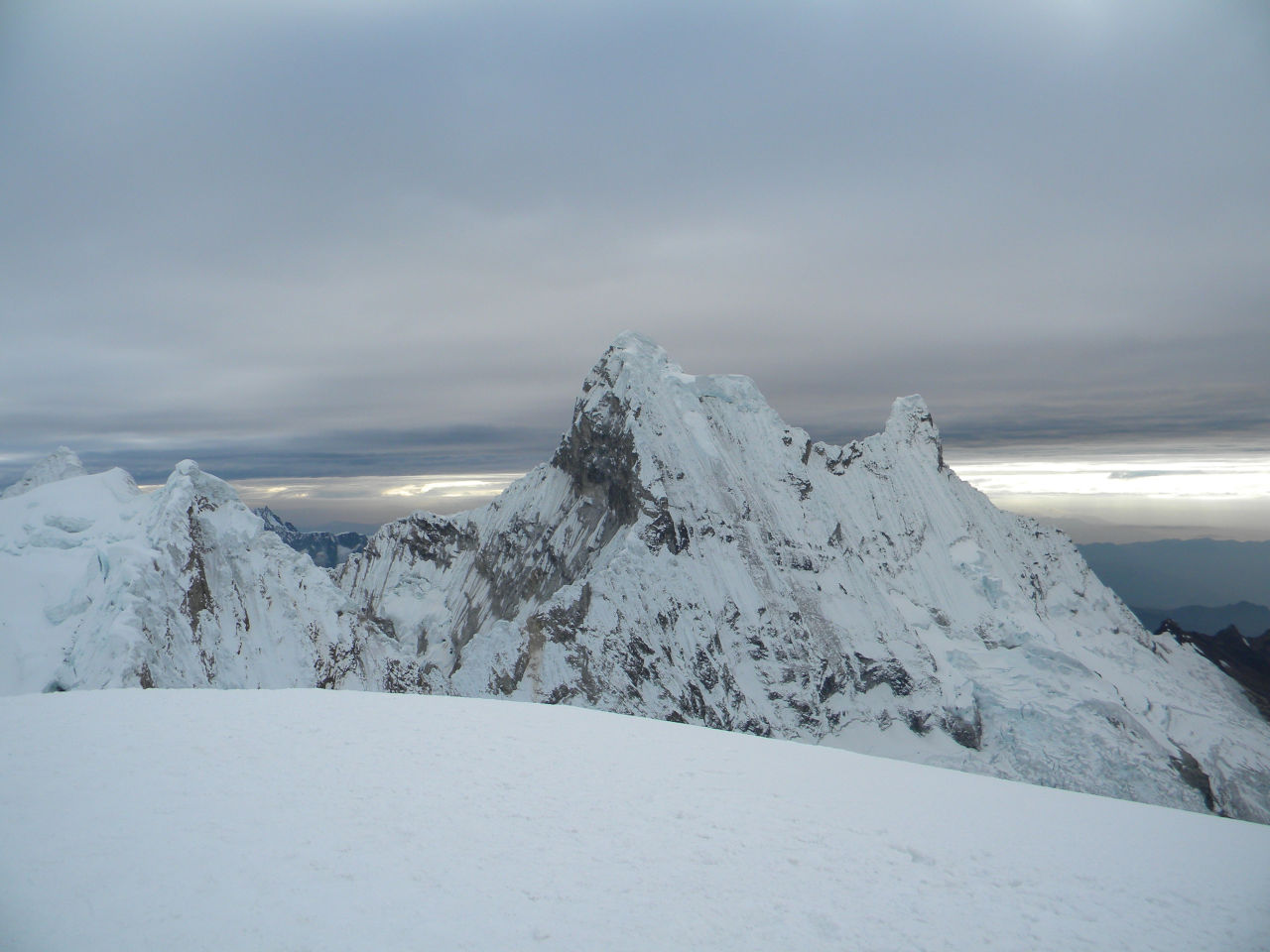
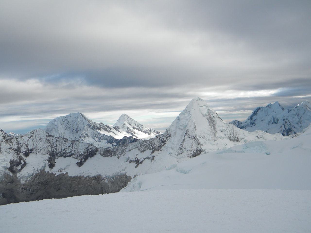
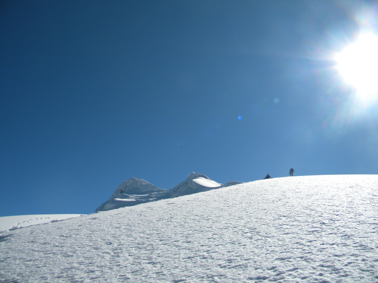
The climb is quite steep, but apart from a few moments, it is not at all technical.
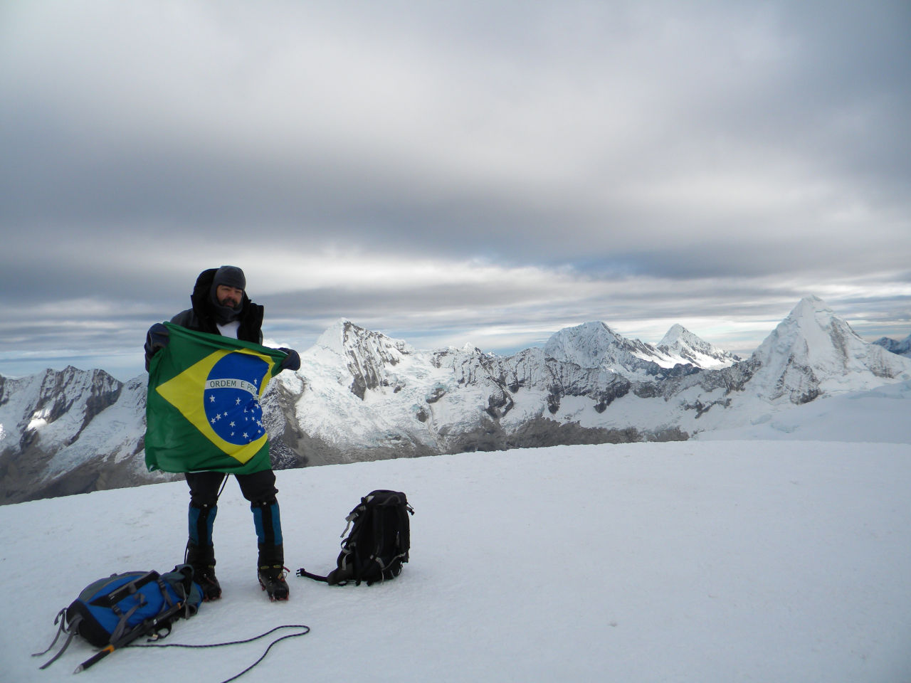
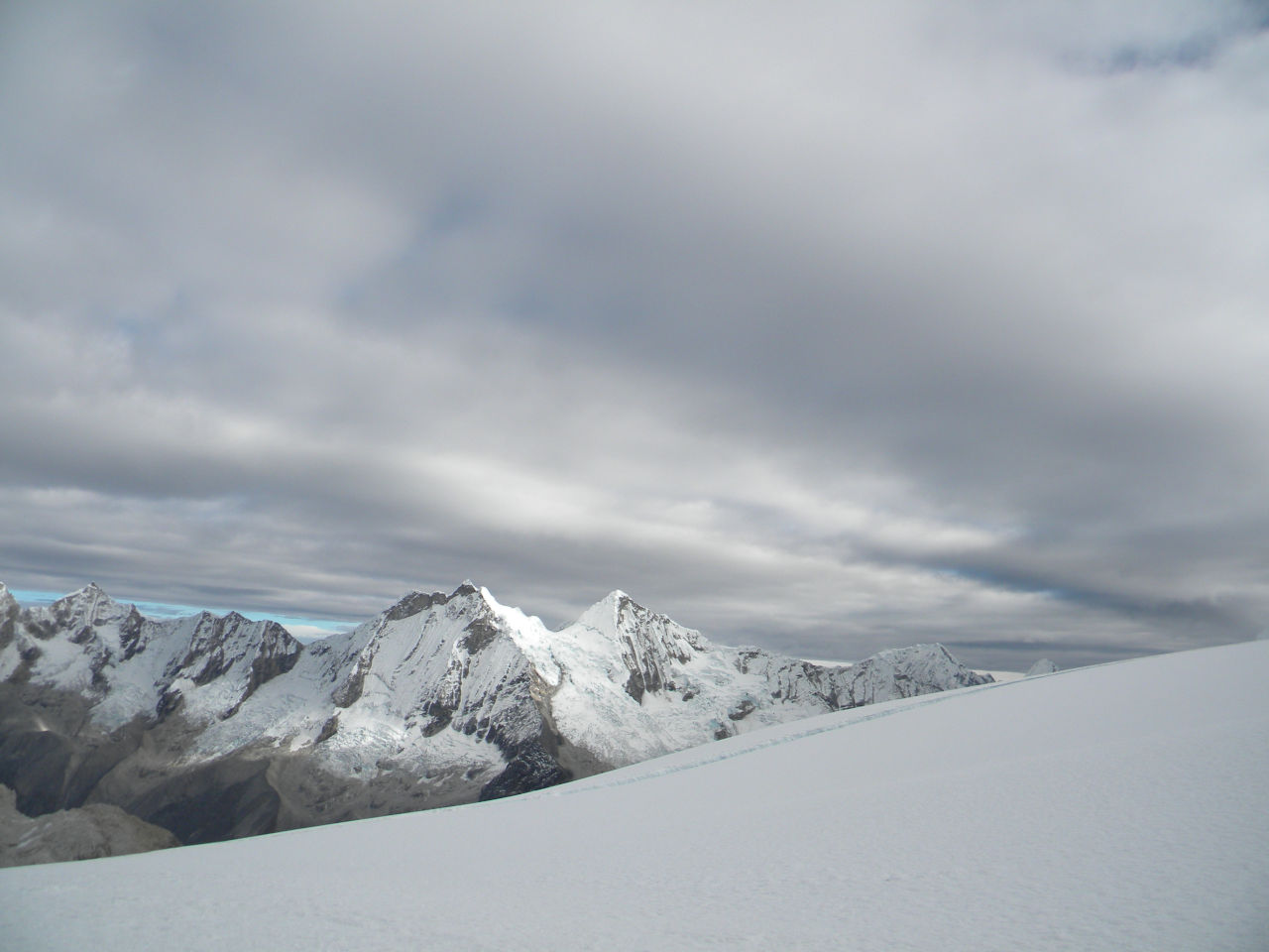
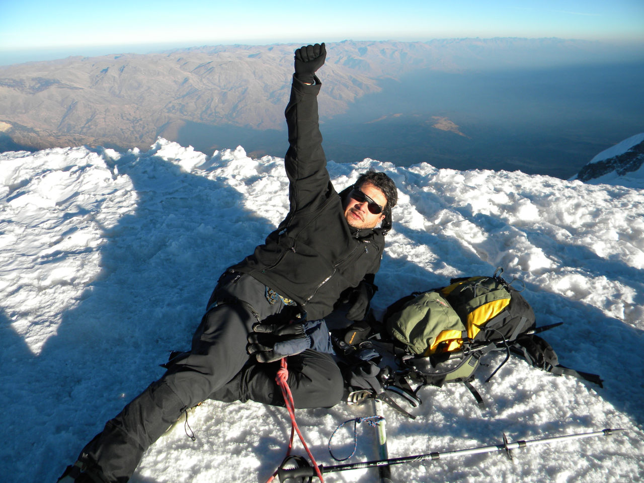
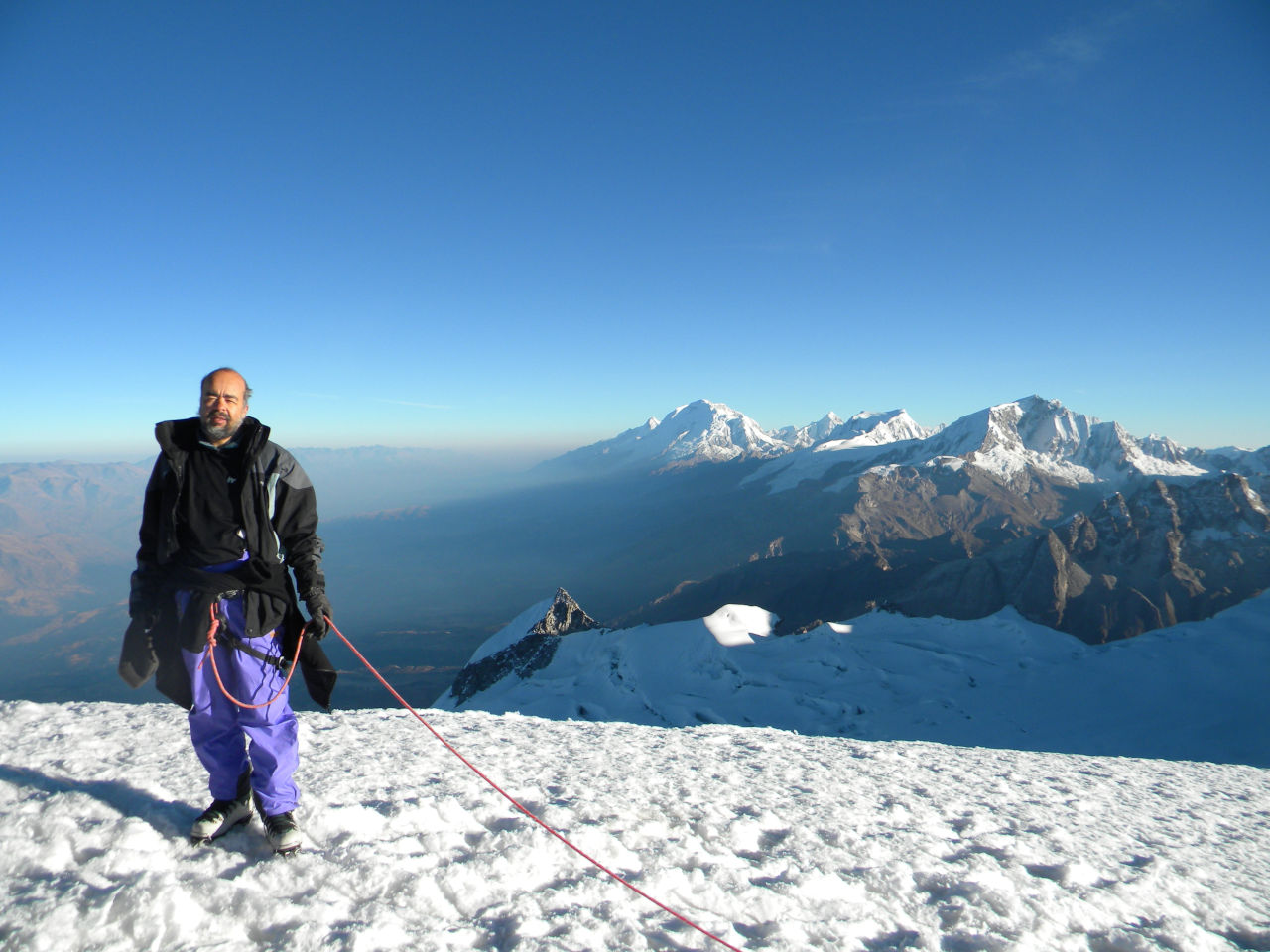
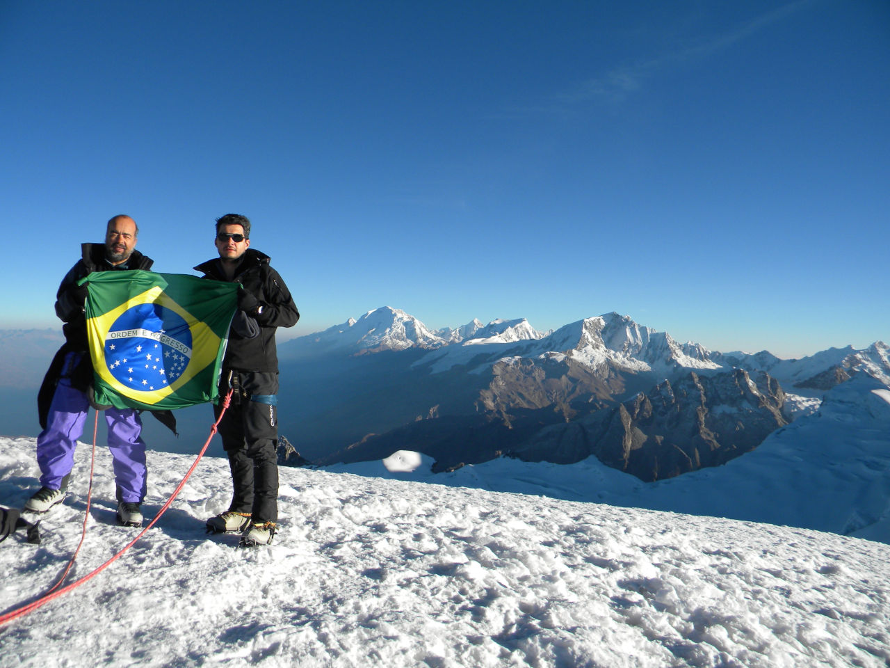
We reached the summit before sunrise. We stayed until 8:00 and began the descent, reaching base camp before noon.
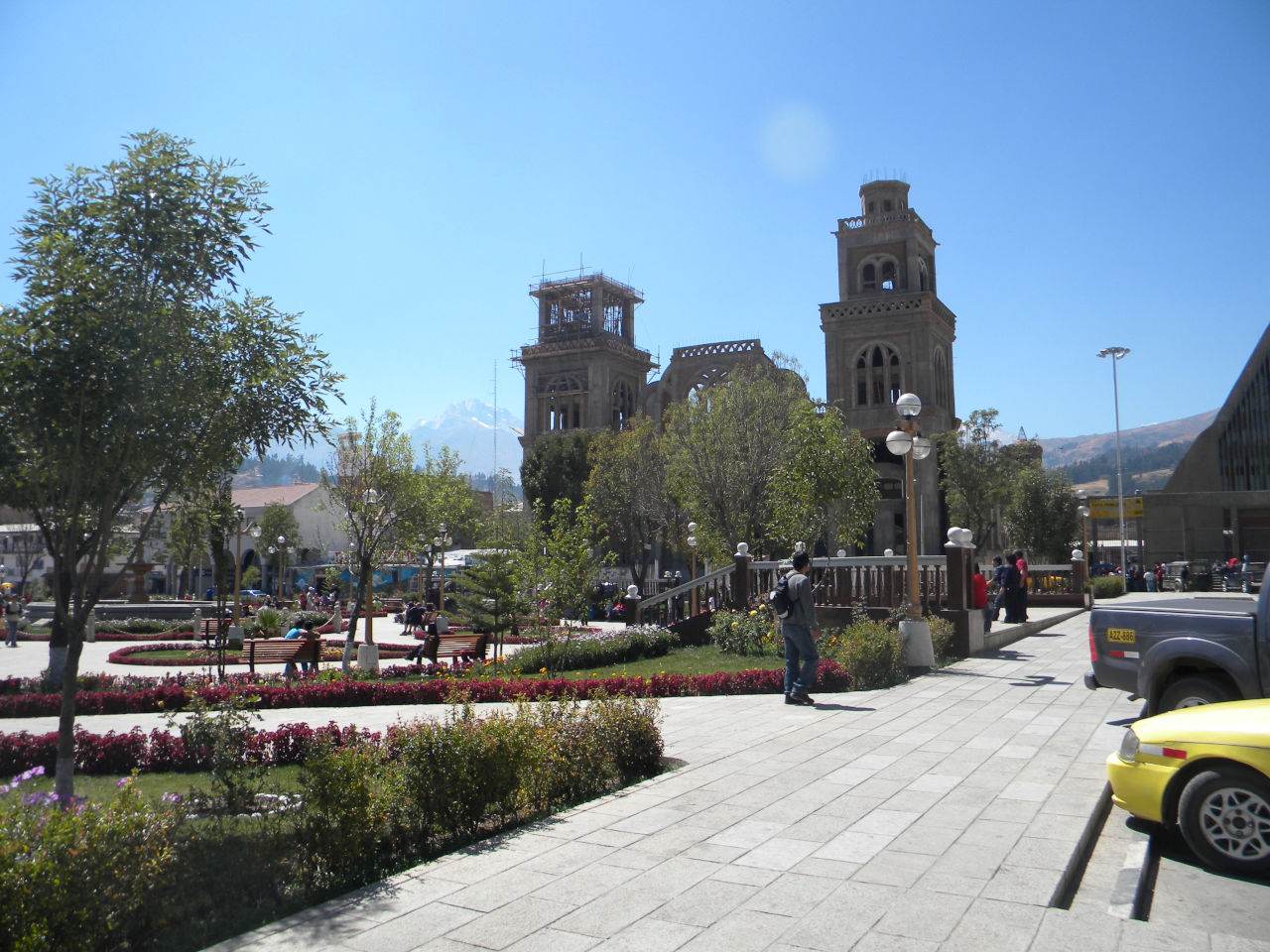
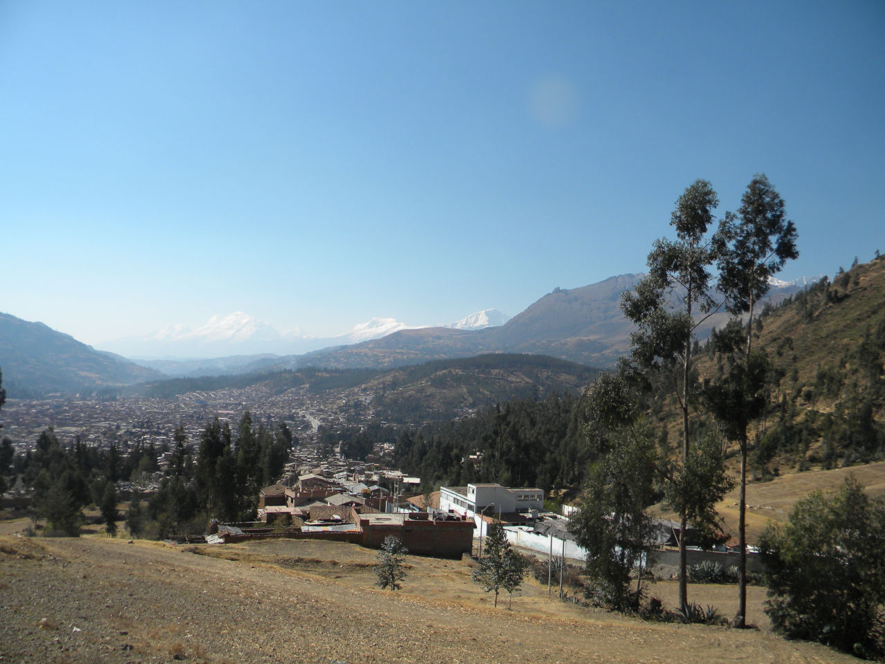
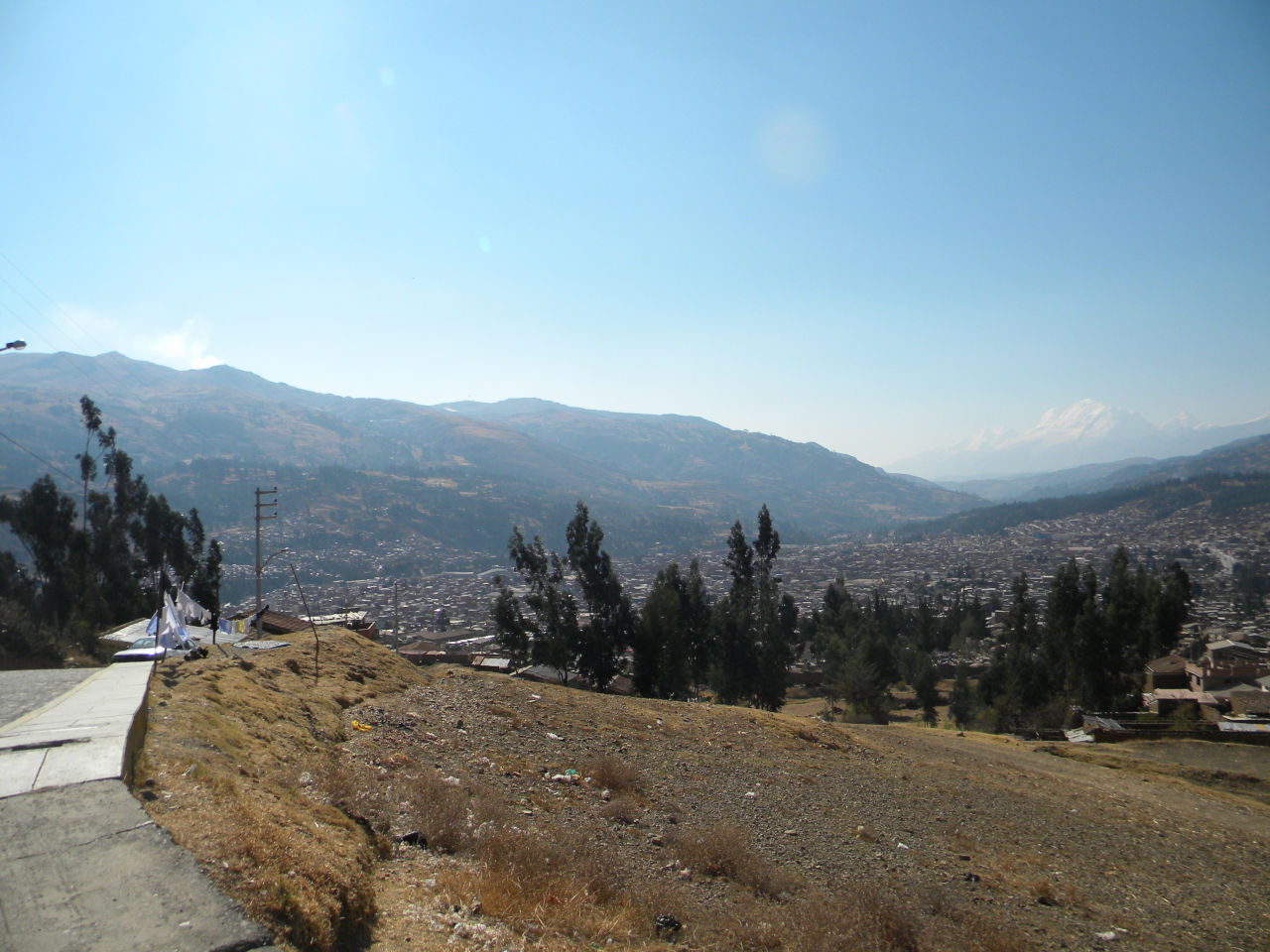
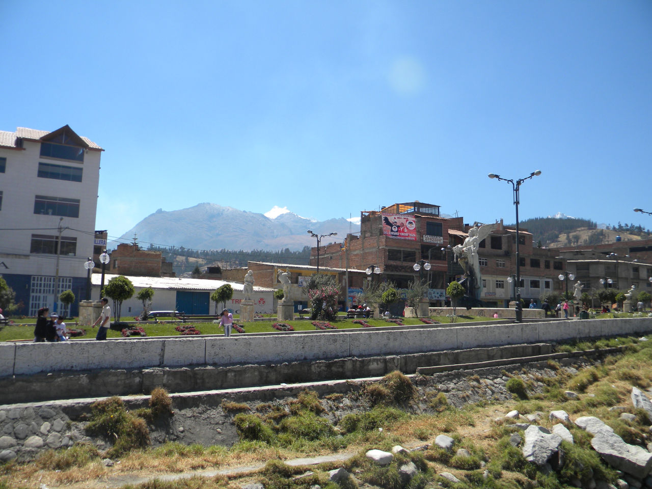
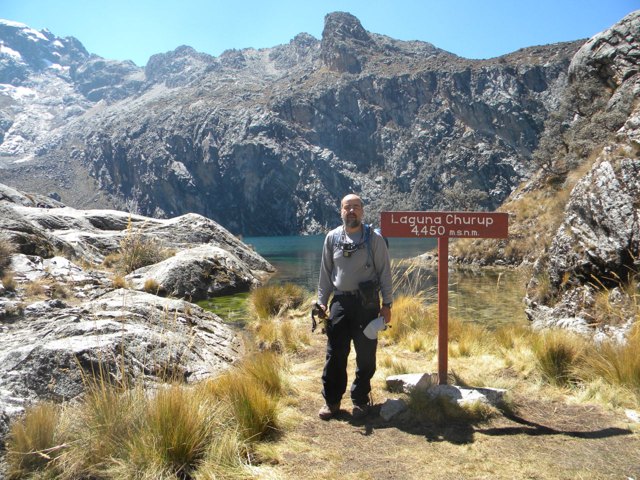
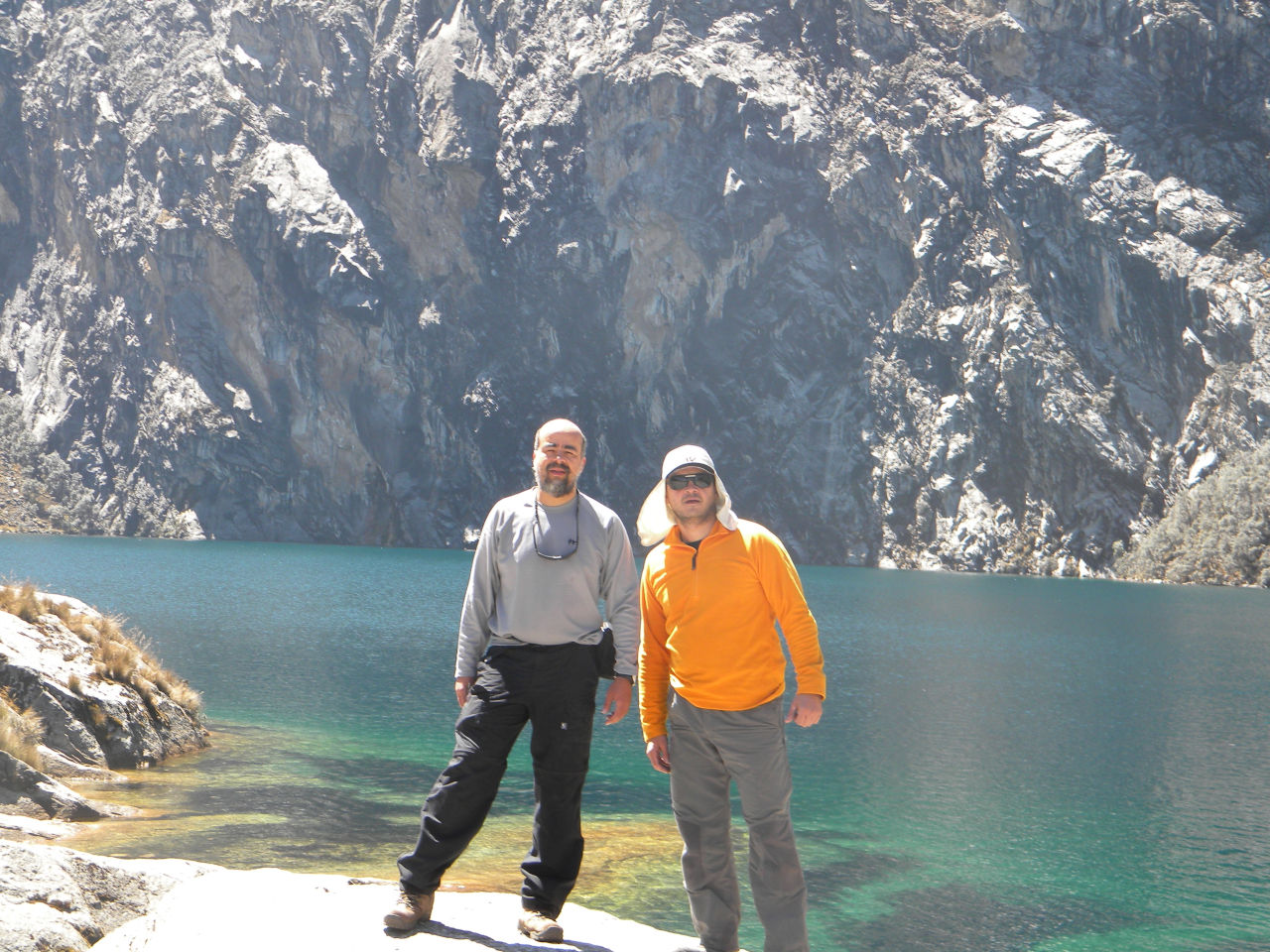
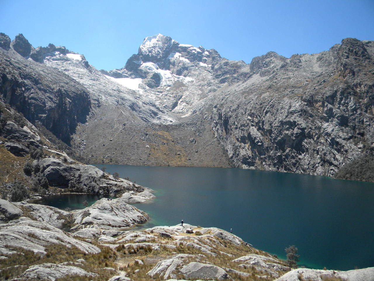
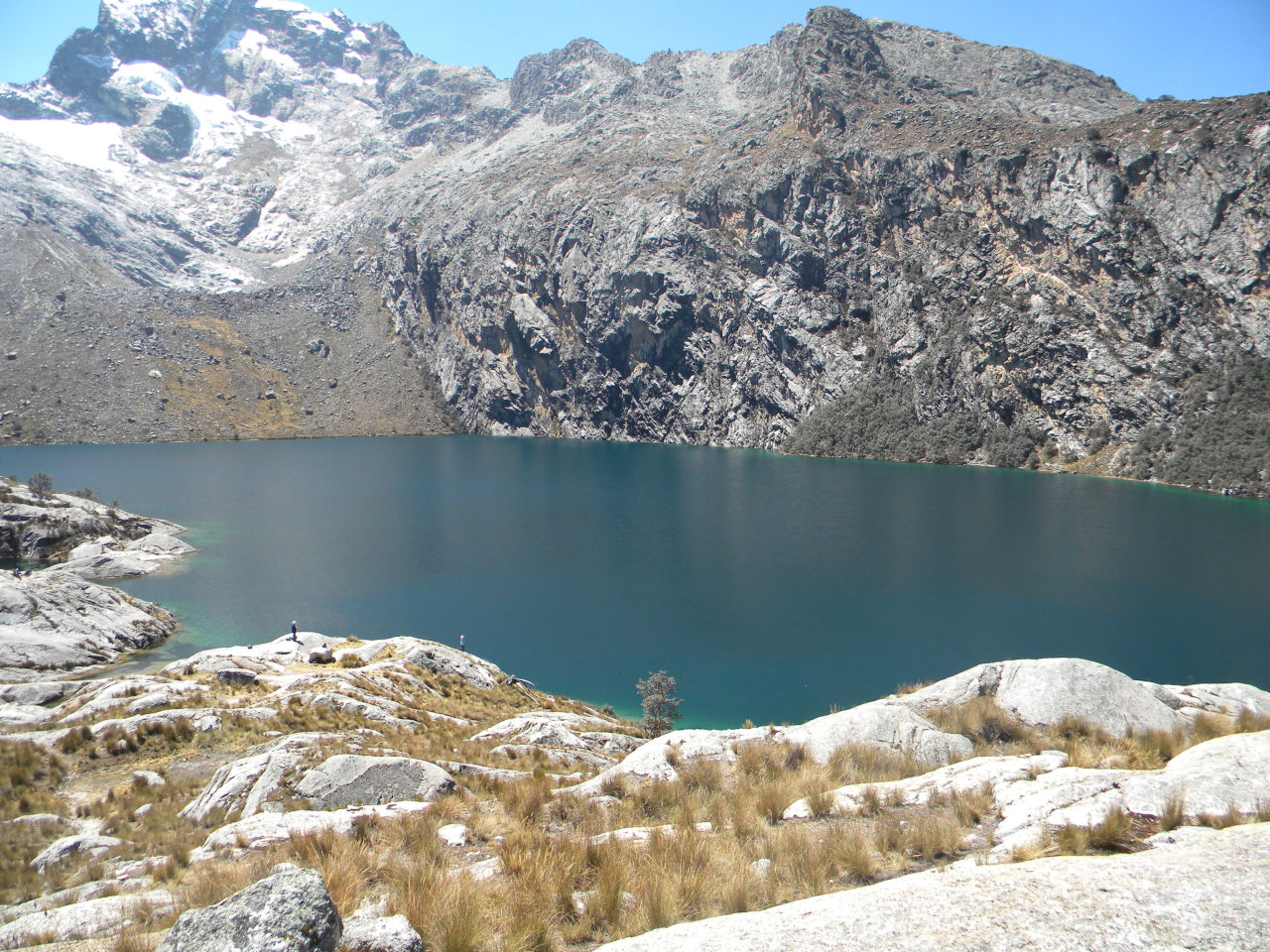
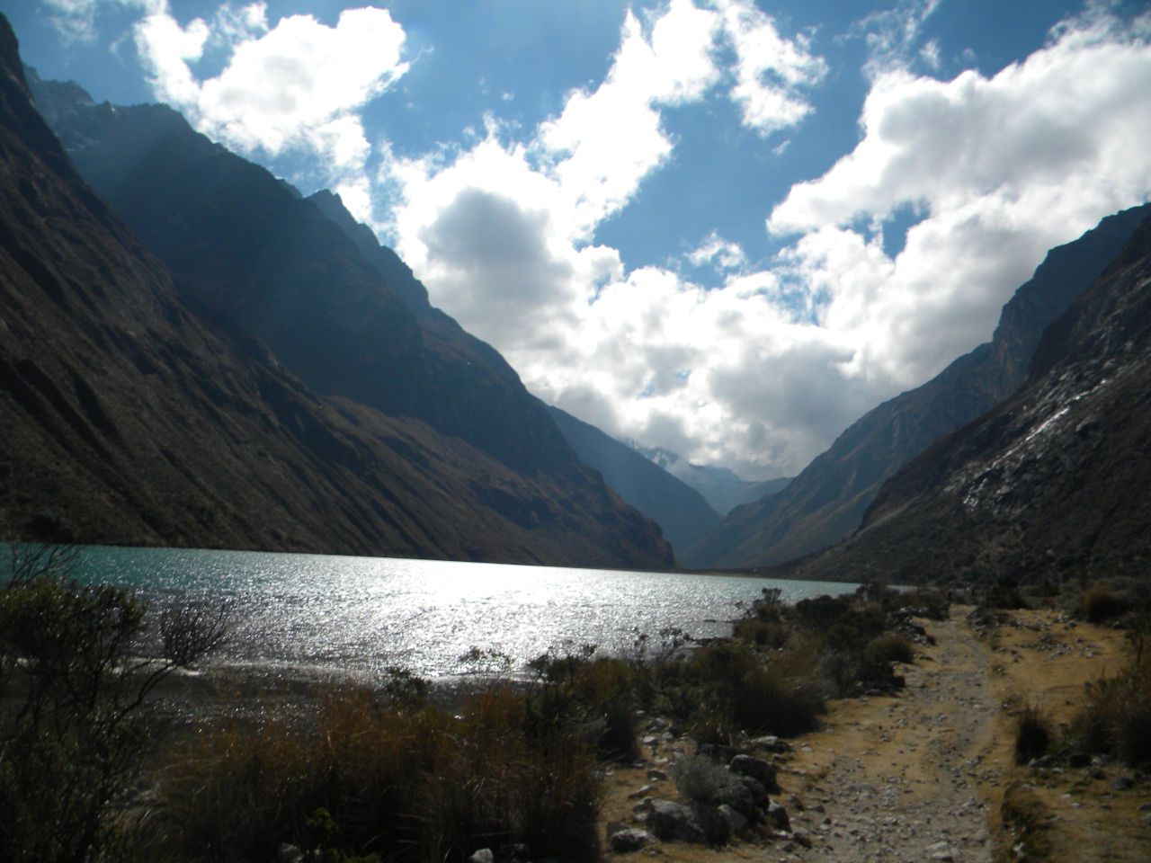
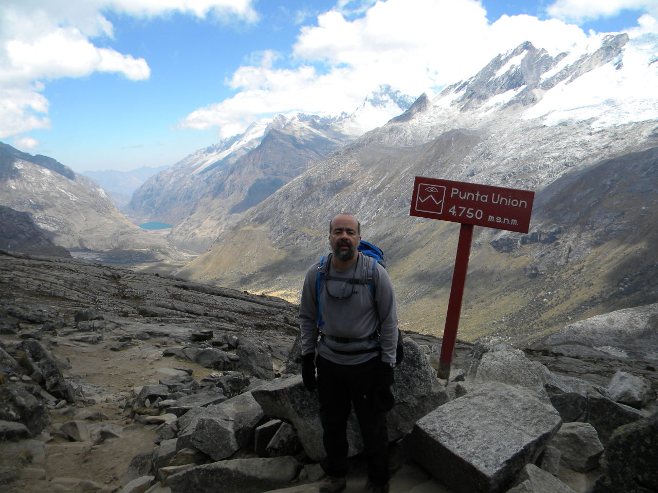
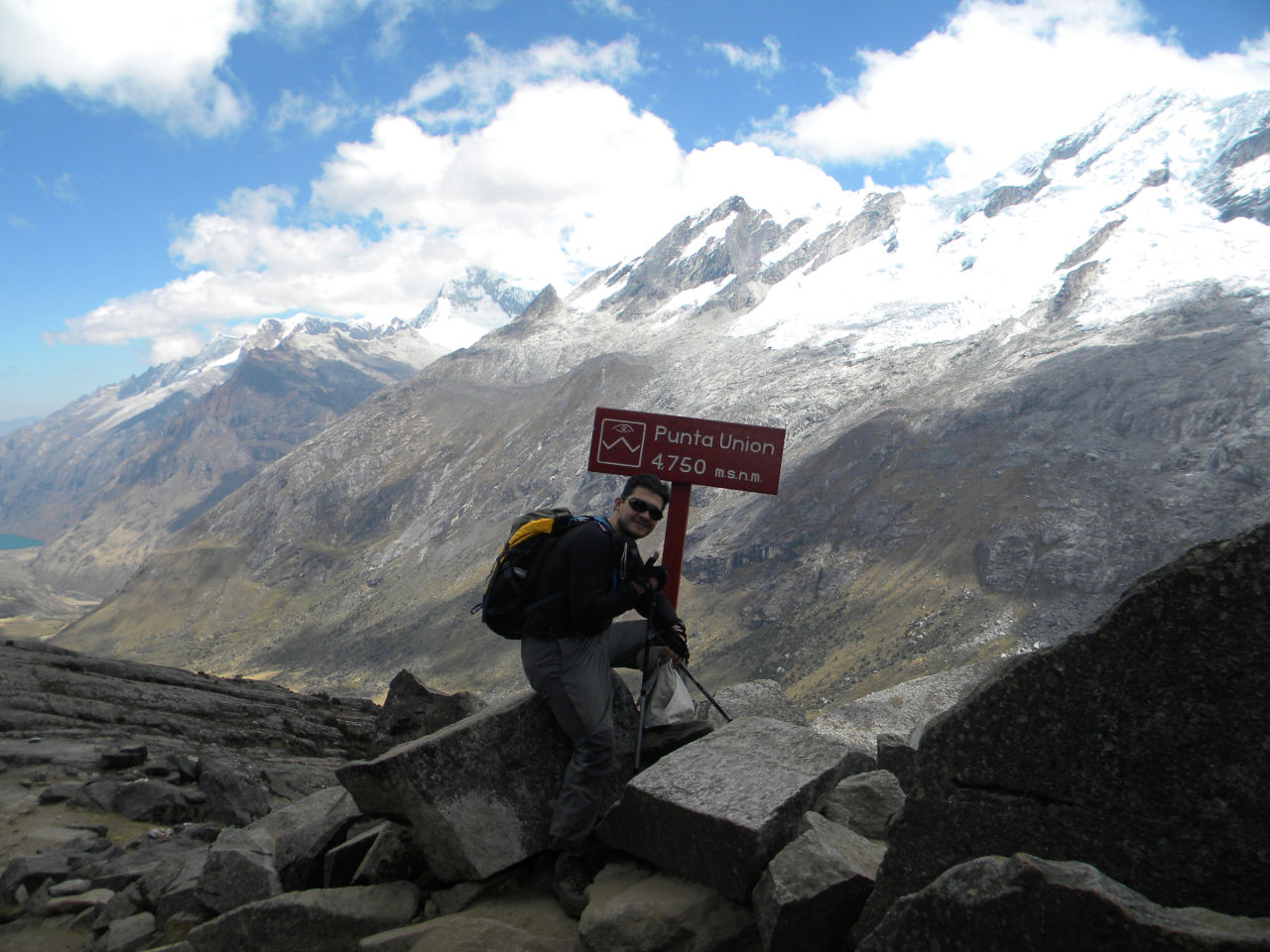
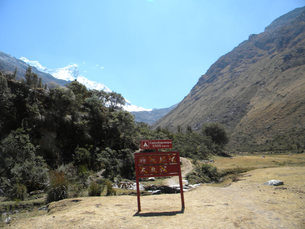
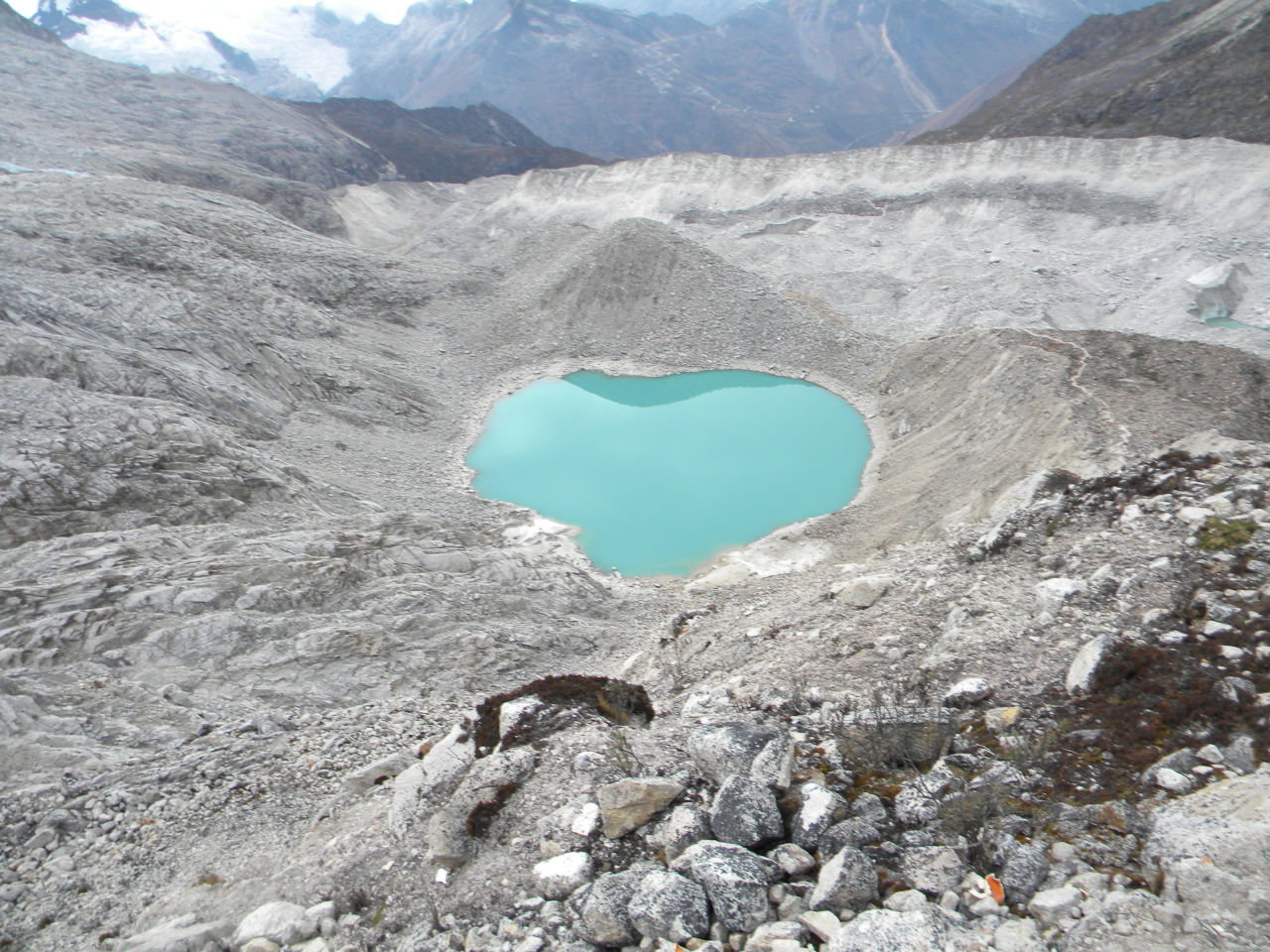
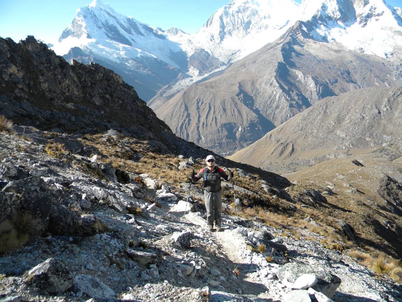
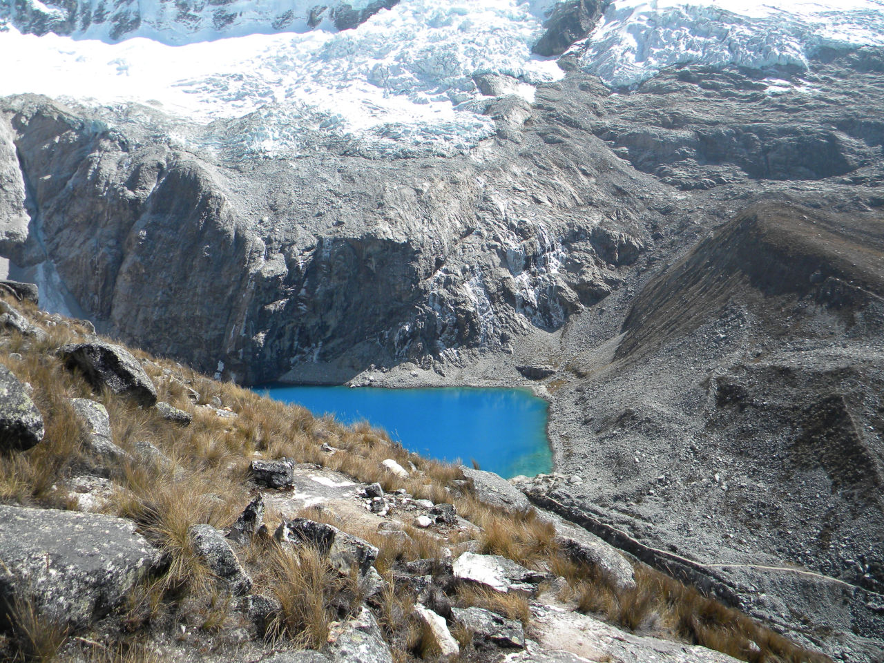
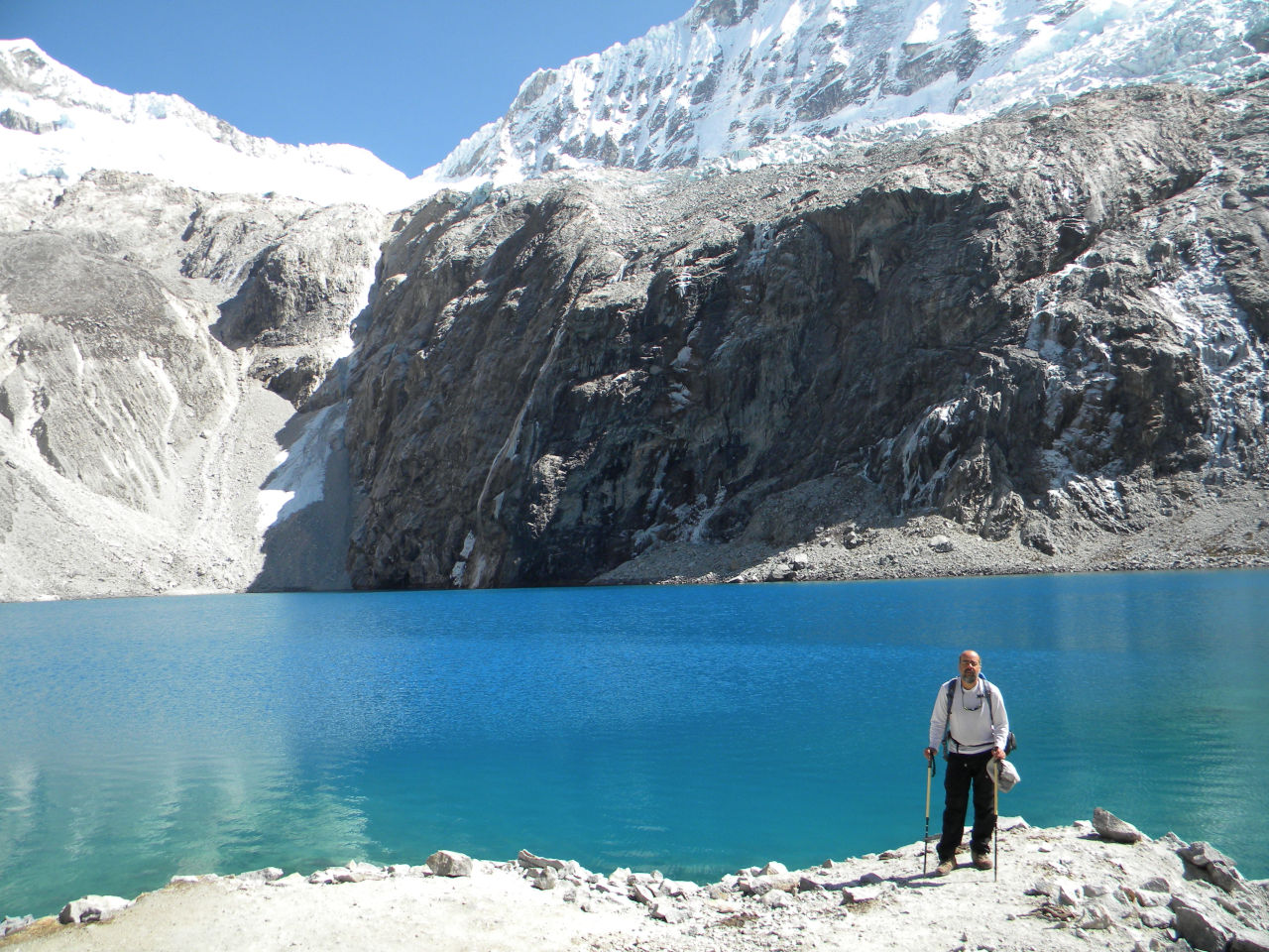
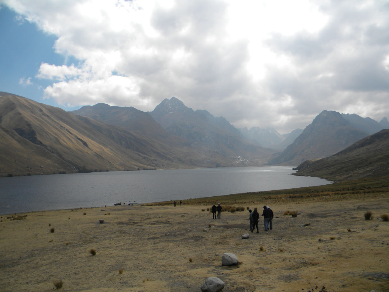
The next day we took the trail back that passes by Laguna 69 (4,650 meters) to Cebolhapampa and took a car to Huaraz.
Day 6 – Back along the trail that leads to Laguna 69
After a well-deserved rest, we returned along the path that leads to Laguna 69.
It was a peaceful day of descent.
We arrived at Cebolhapampa and took the transfer to Huaraz, but first we passed by the Llanganuco lakes.
Caminho de volta pela trilha que leva a Laguna 69
Huaraz – We rested for two days and went to Vallunaraju mountain.
Two days of rest and recovery, and we went for the last challenge.
We took a car to Llaca valley, where one of the steepest climbs I have ever done begins.
From the start to the morrana camp (base camp 4760 m) it takes 2 to 3 hours depending on your physical condition.
On the way up the effect of global warming is very clear. You can clearly see the glacier moving away.
We rested and left at 4:00 am for the summit. This time Alessandro was fine and was able to go to the summit.
After walking for only 30 minutes we entered the ice part. It took about 3 hours to reach the summit.
The walk was easy, except reaching the summit is a bit technical, but it is very easy.
We arrived back at base camp at 11 am, had lunch and went down to the end of the trail and took a car to Huaraz.
Rest in Huaraz and a visit to Chavin.
The challenges are over. Now it’s time to just go for a walk.
Chavín de Huantar is an archaeological and cultural site, located 3,150 meters above sea level, in the upper part of the Mosna River valley.
It consists of two pyramid-shaped bodies reclining one on top of the other.
They were built on a vast system of platforms that house a labyrinth of 14 galleries.
The temple became an important pilgrimage site, which helped to spread the artistic style of Chavín.
It is located between the eastern mountain range (Cordillera Negra – without snow) and the western mountain range (Cordillera Blanca – snowy) in the Andes.