Dolomites - Italy
Alta via 1
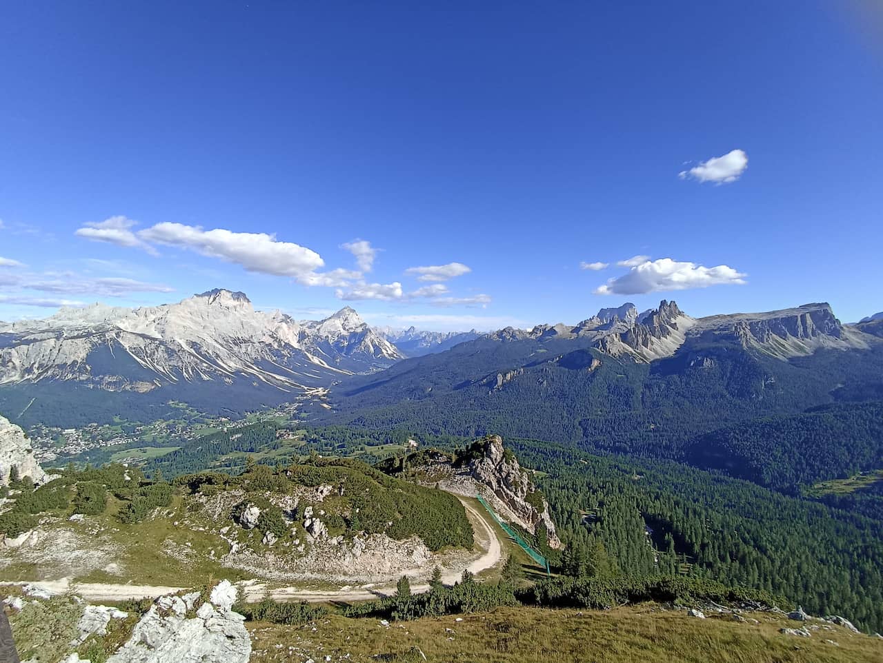
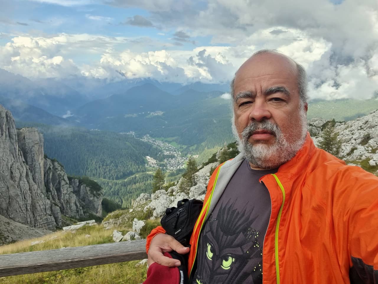
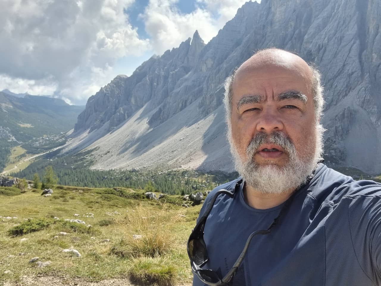
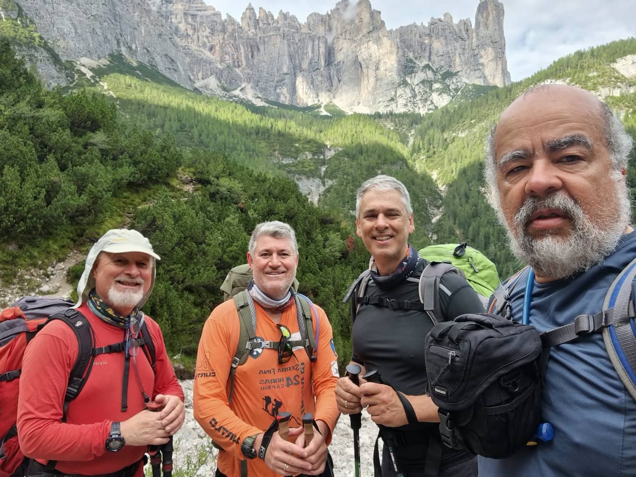
While planning my 2022 vacation, I came up with the idea of going to the Dolomites and doing the Alta Via 1, a traditional crossing located in the Alps in northern Italy on the border with Austria.
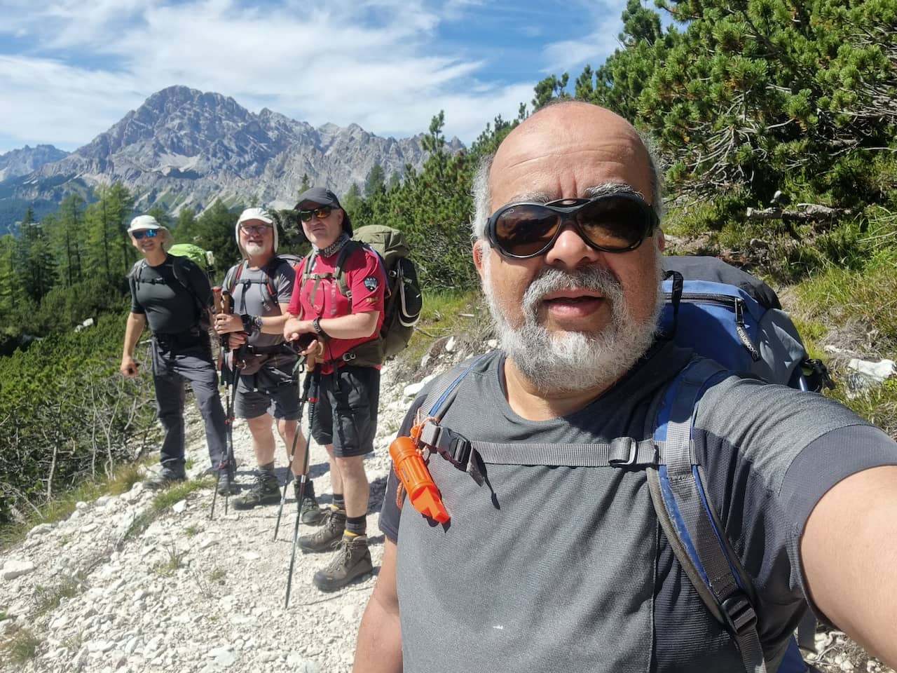
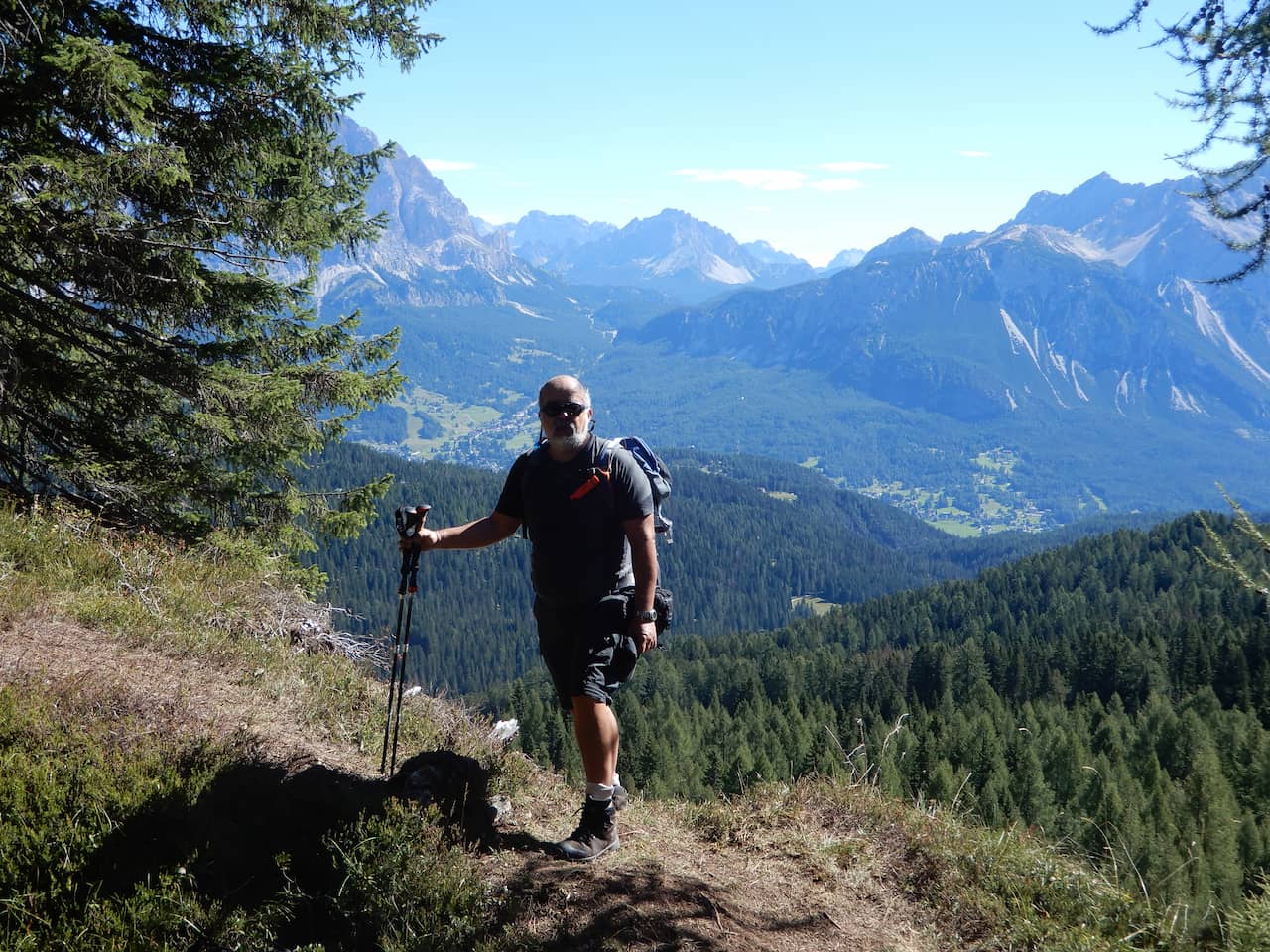
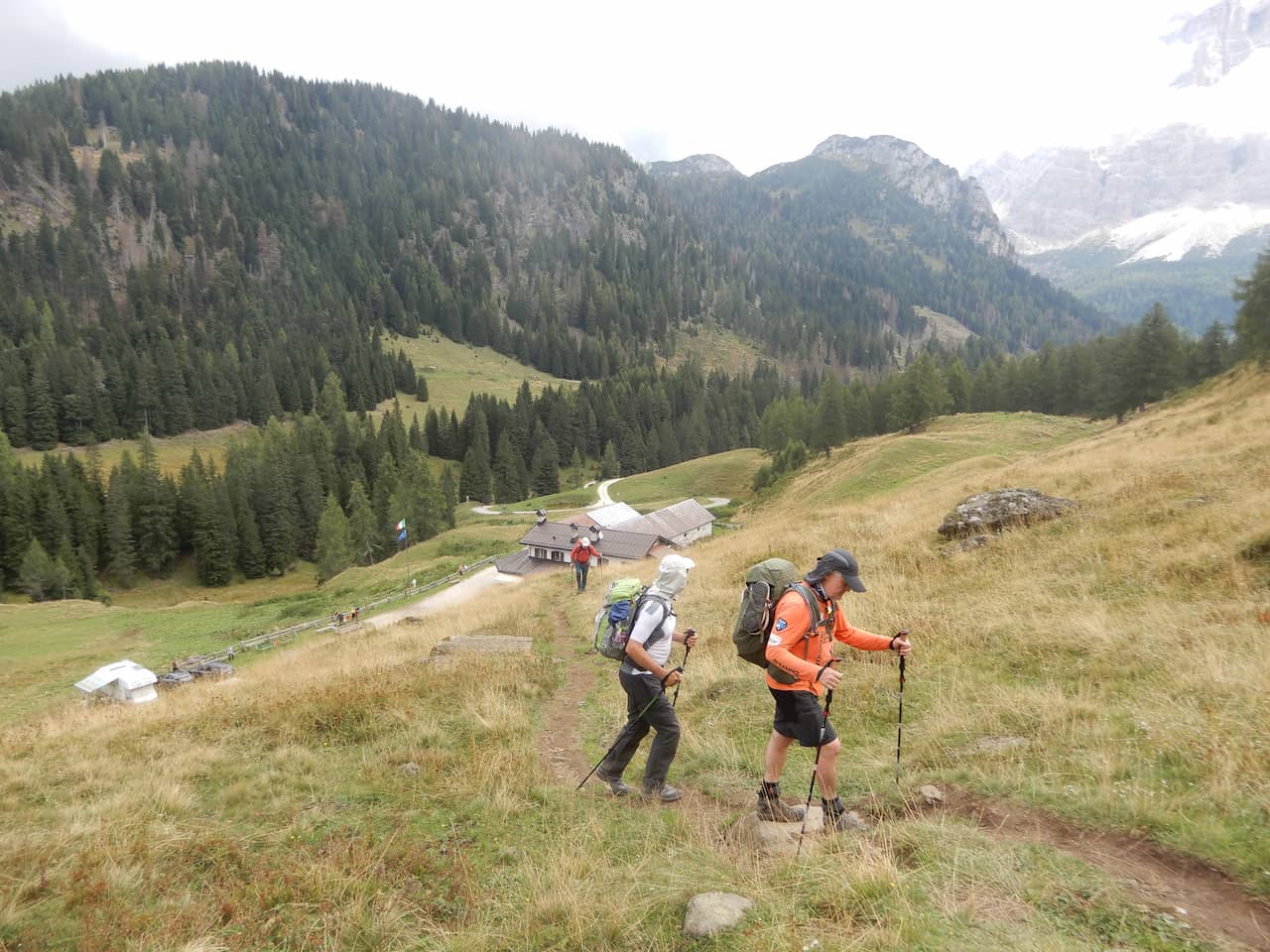
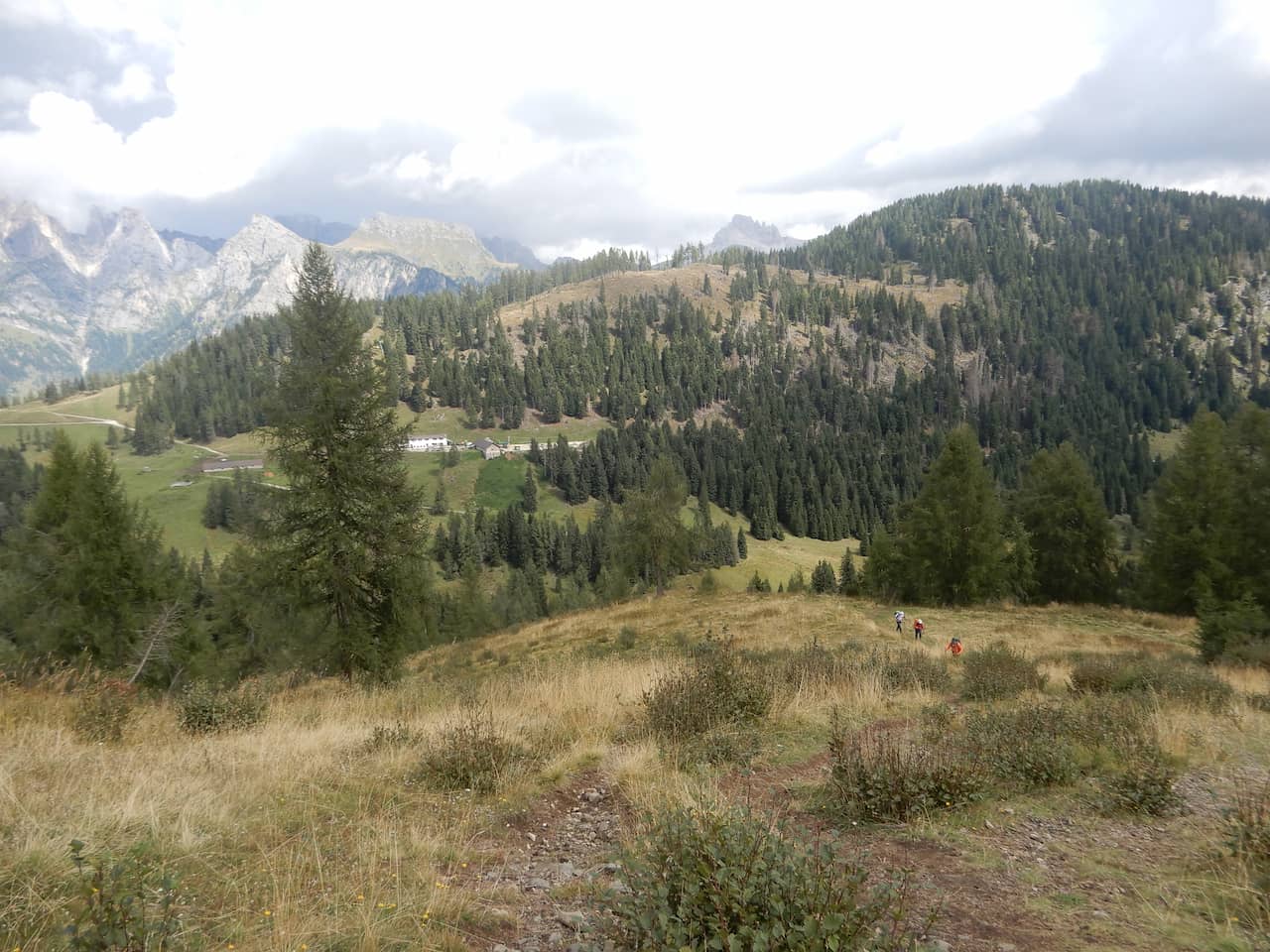
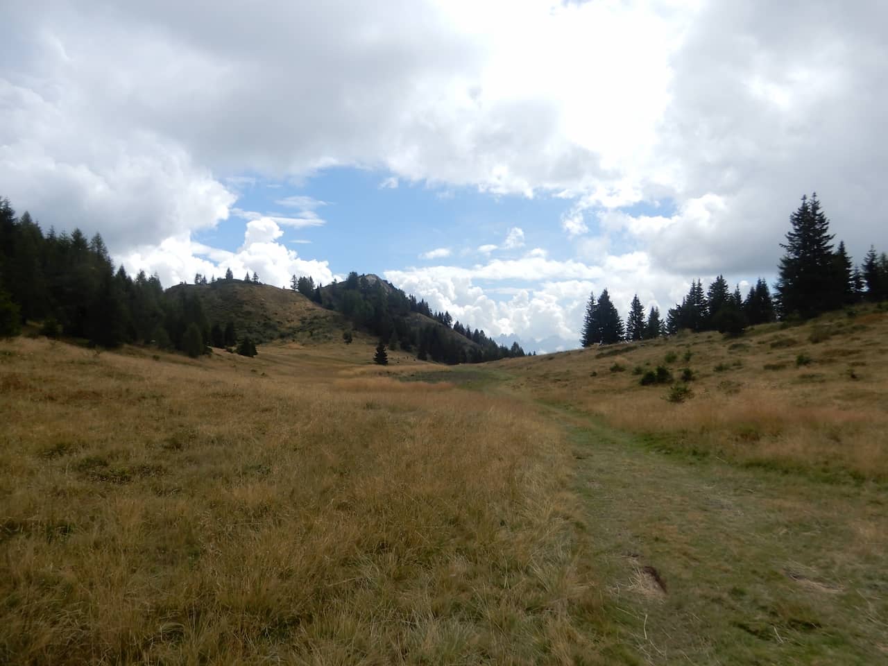
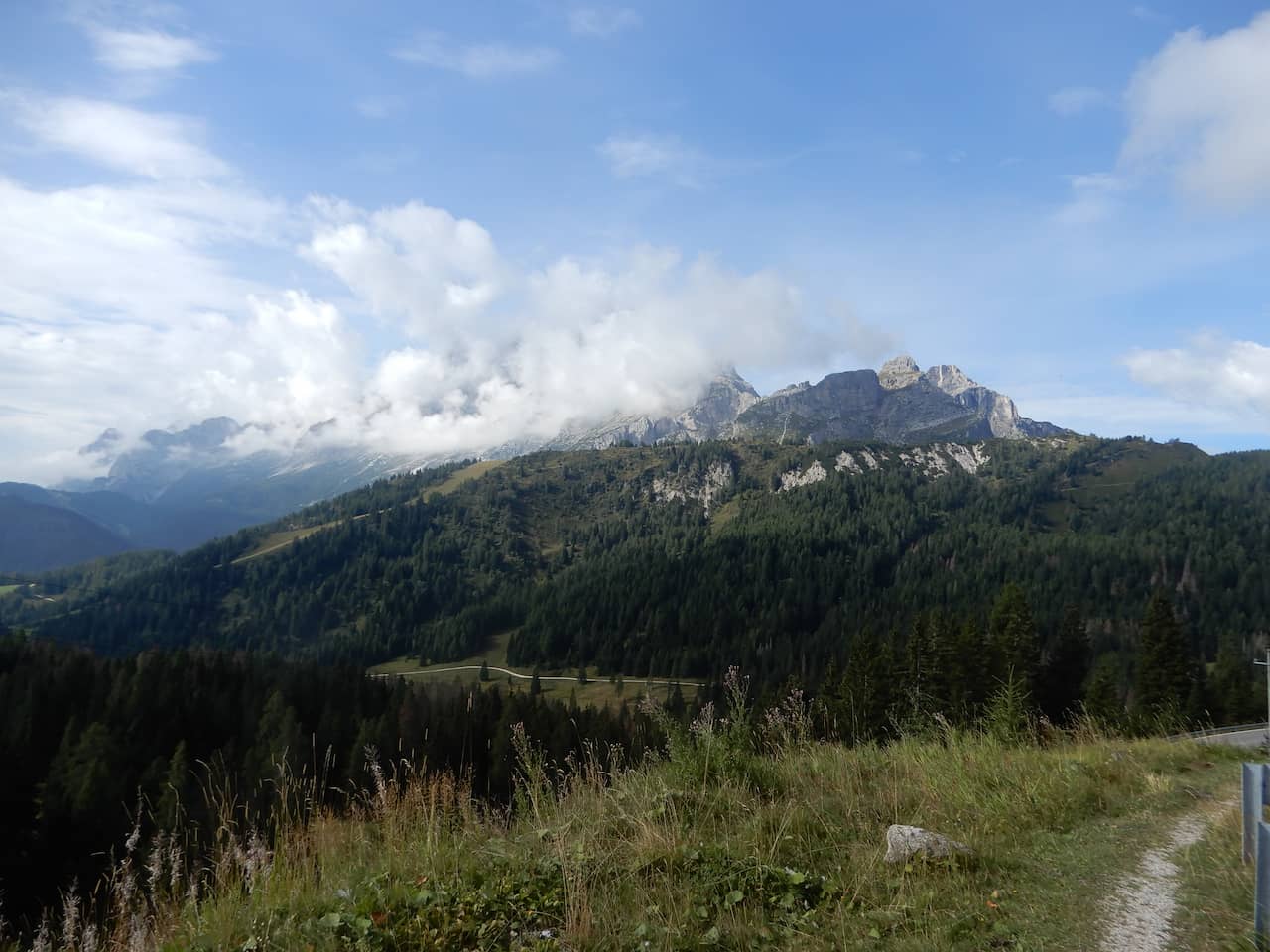
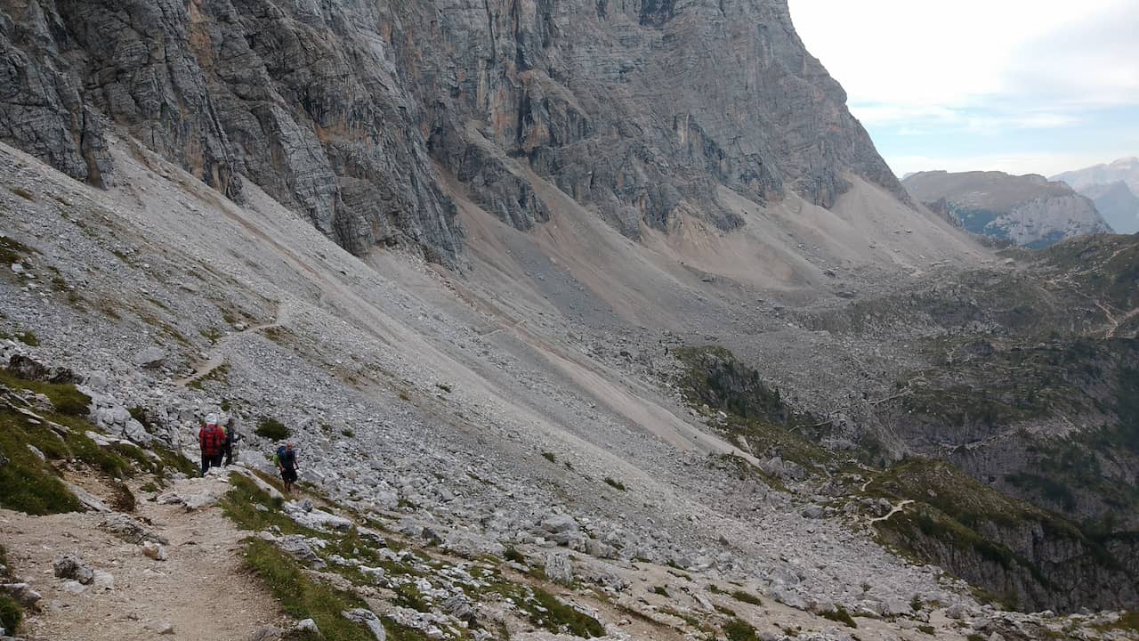
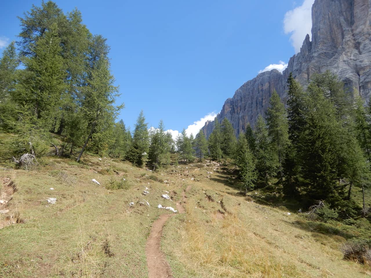
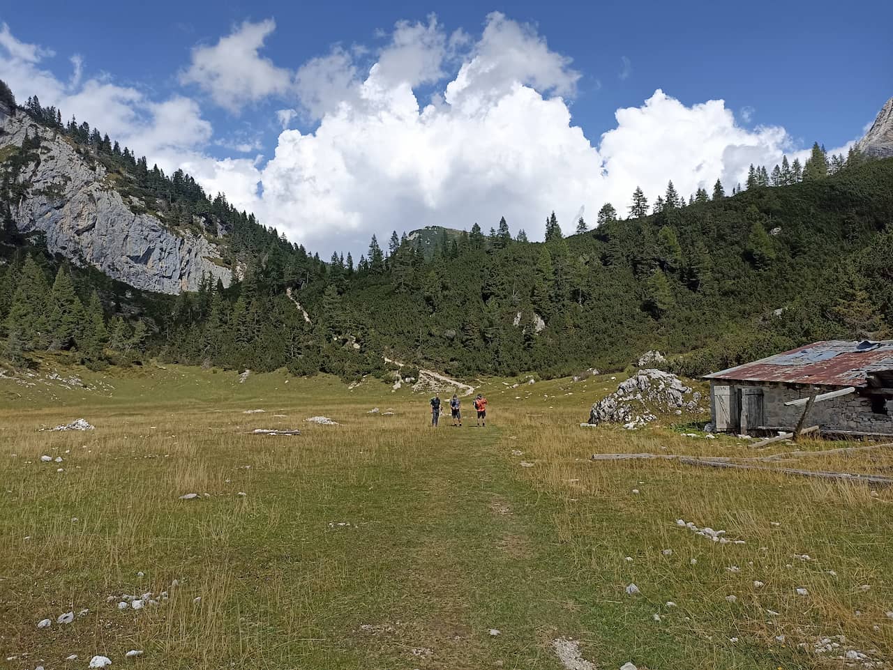
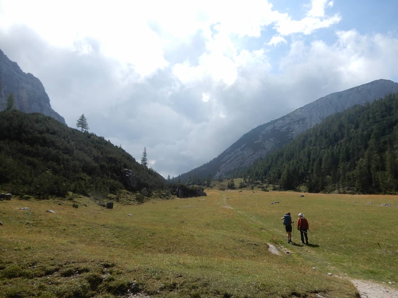
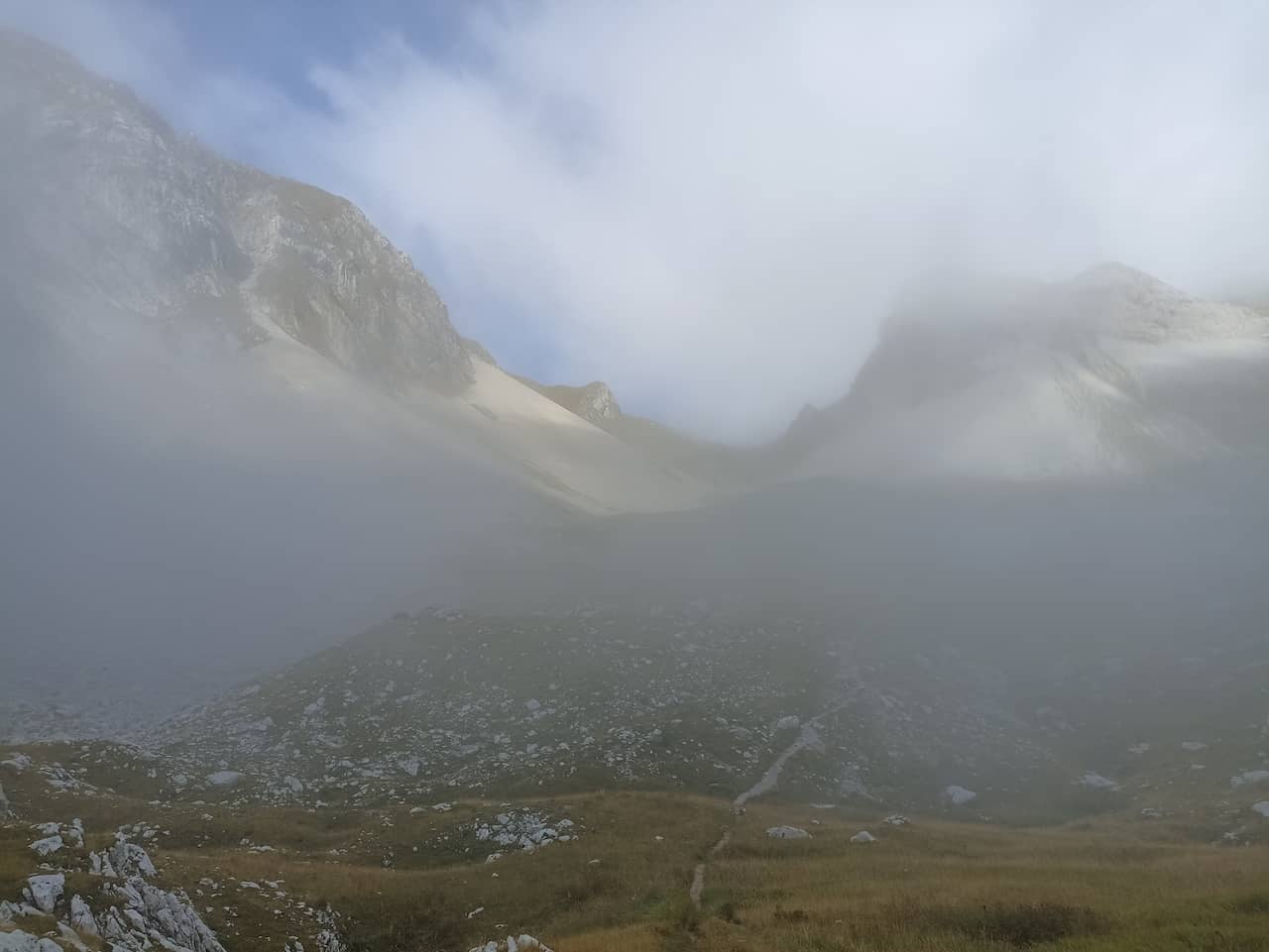
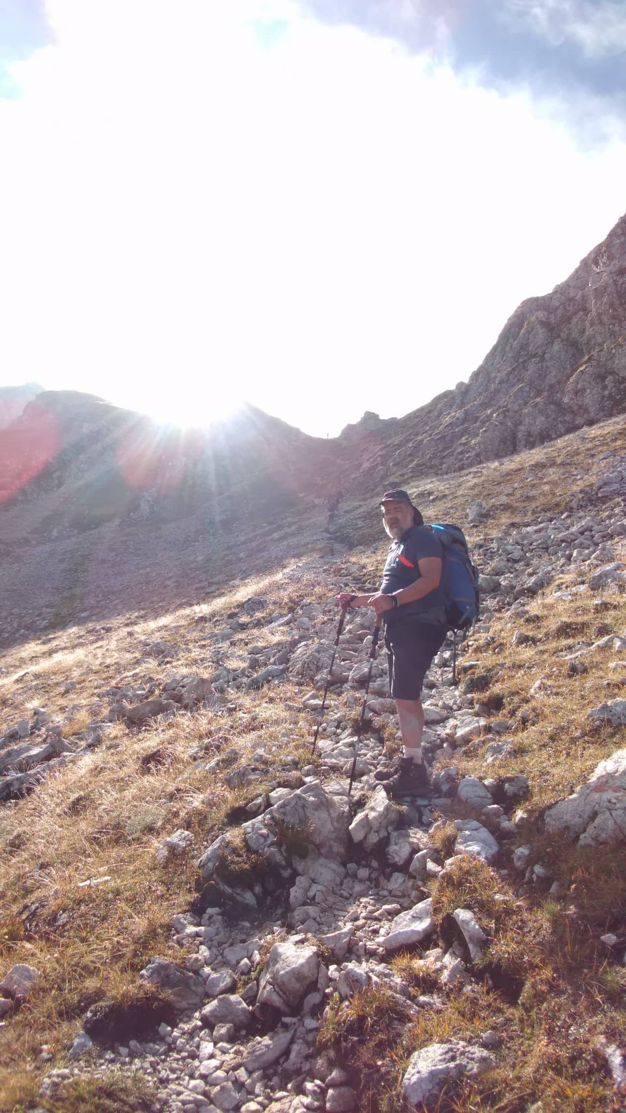
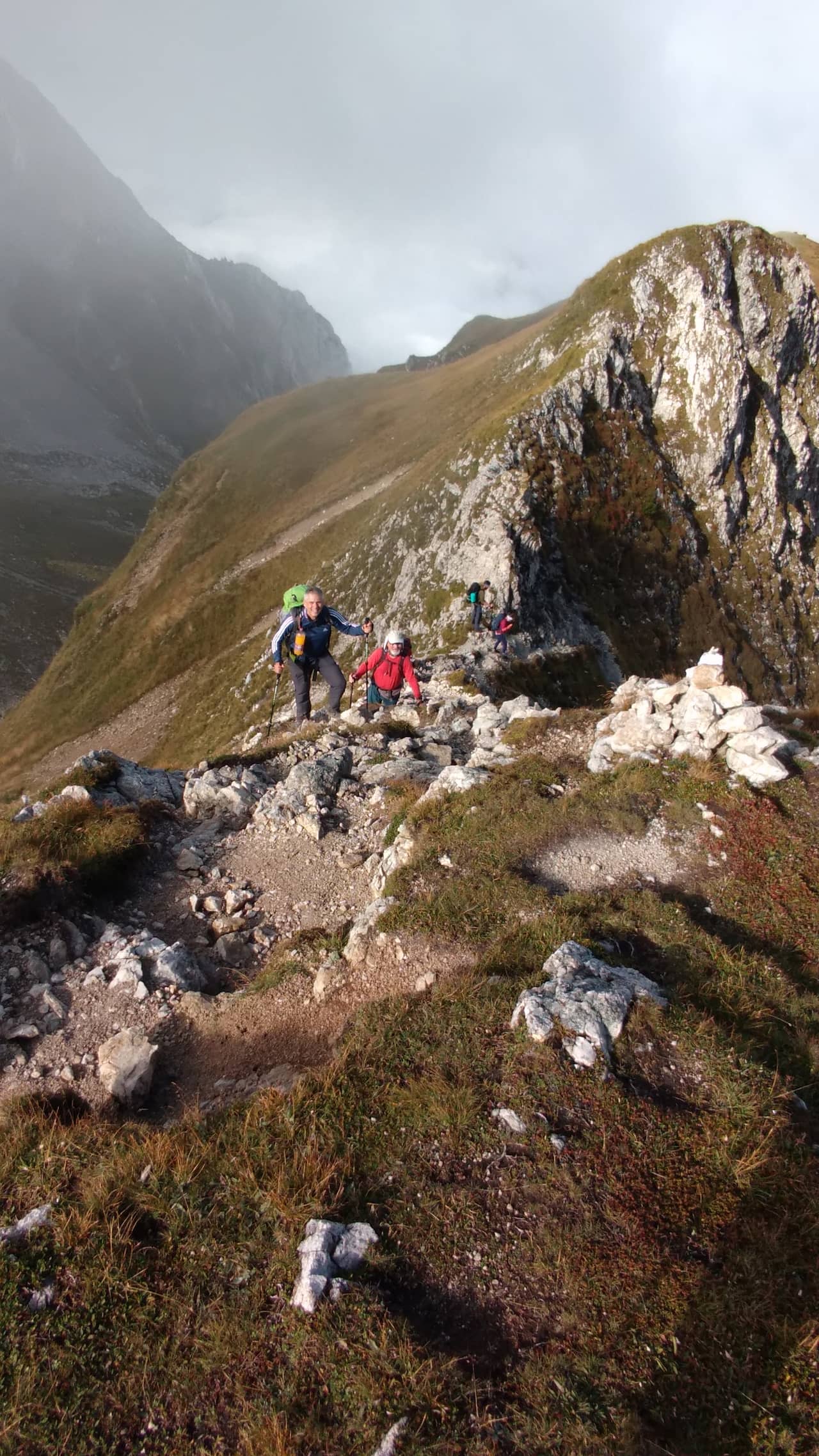
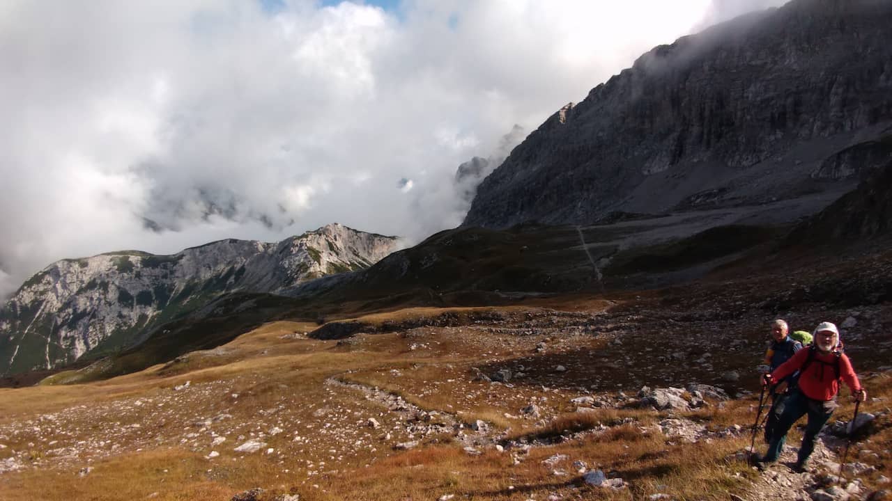
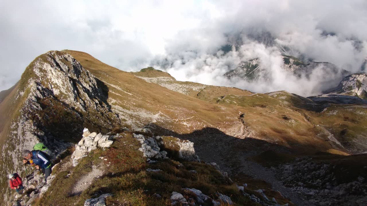
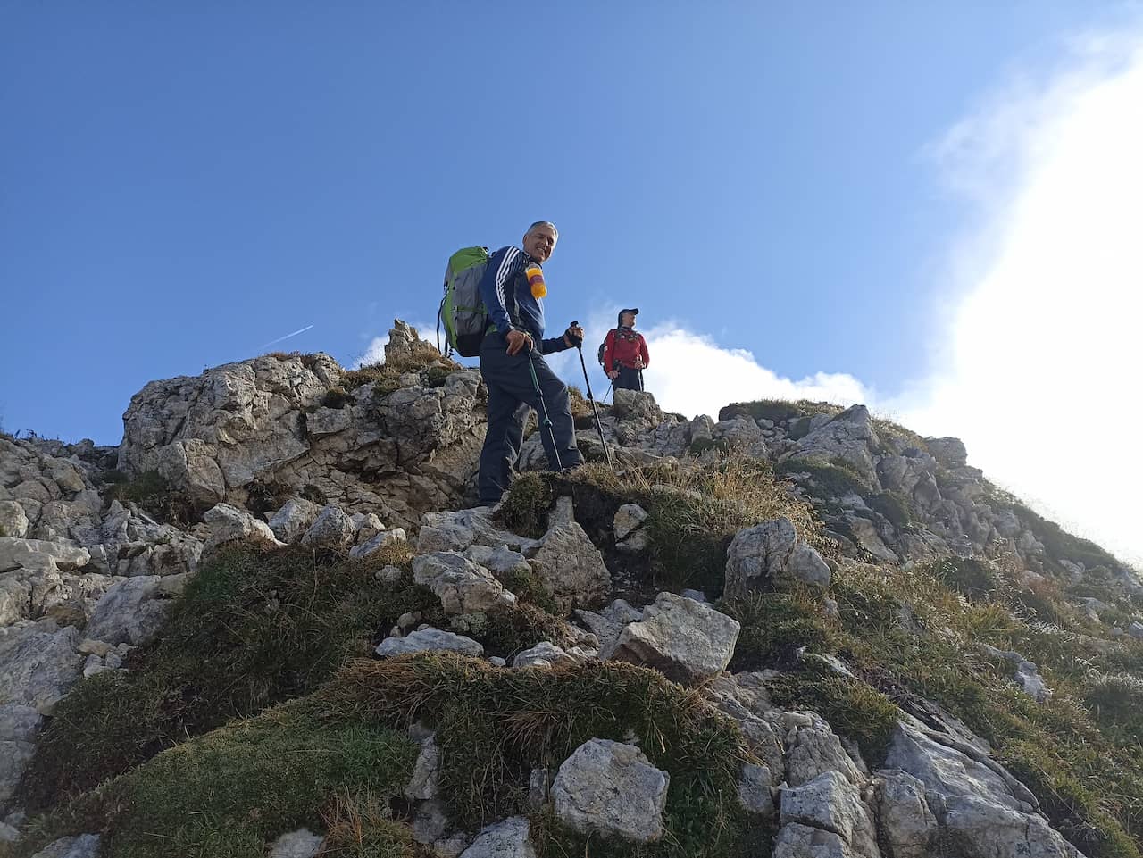
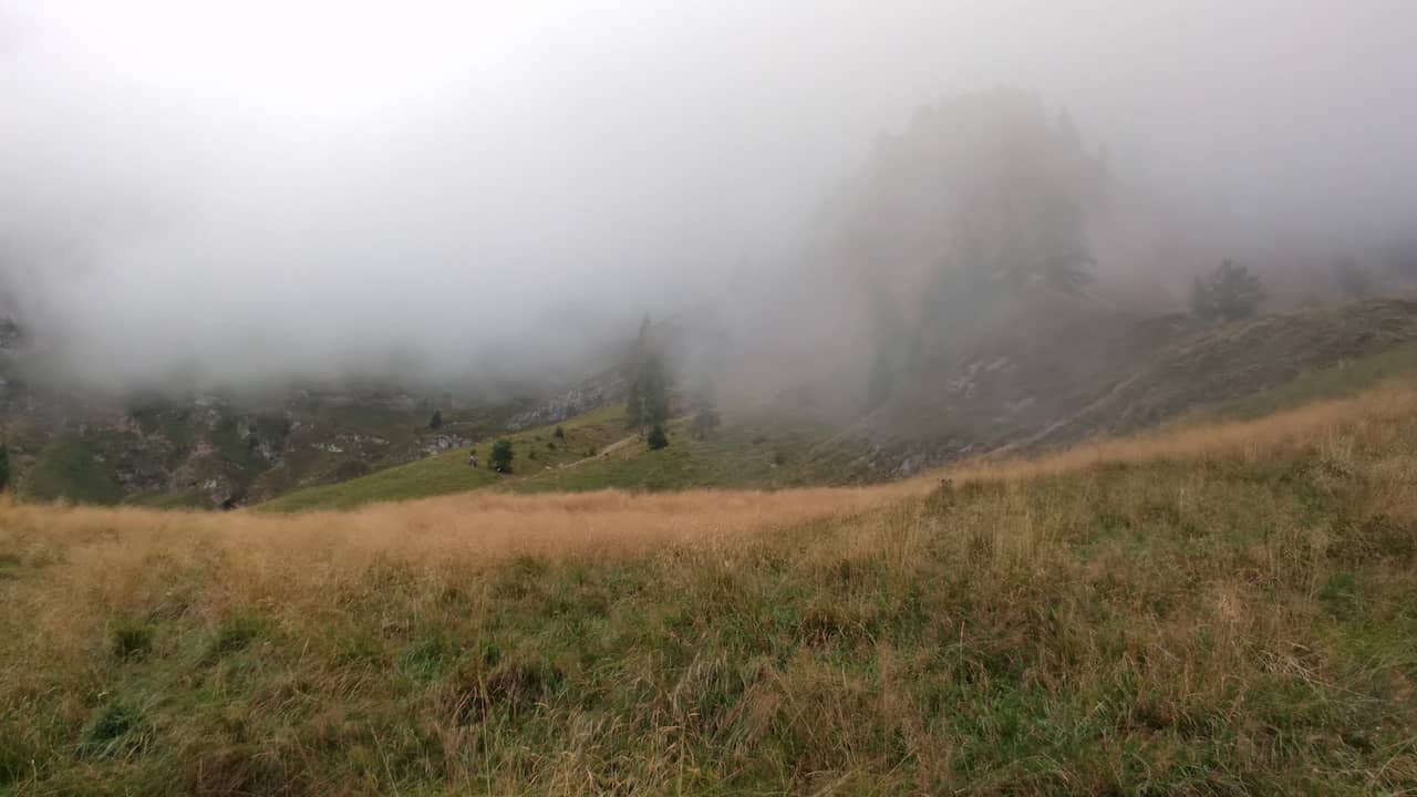
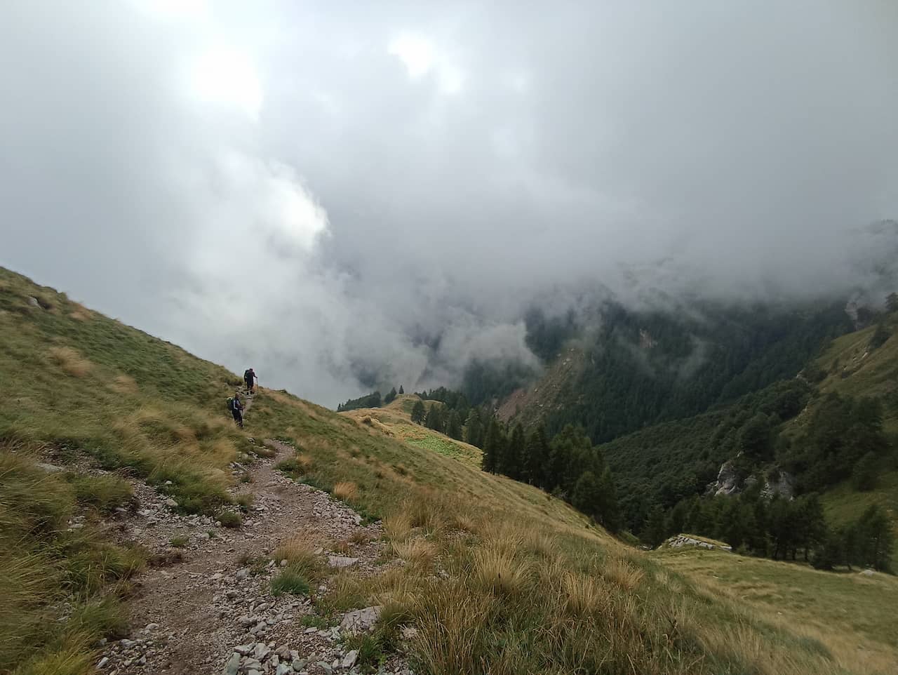
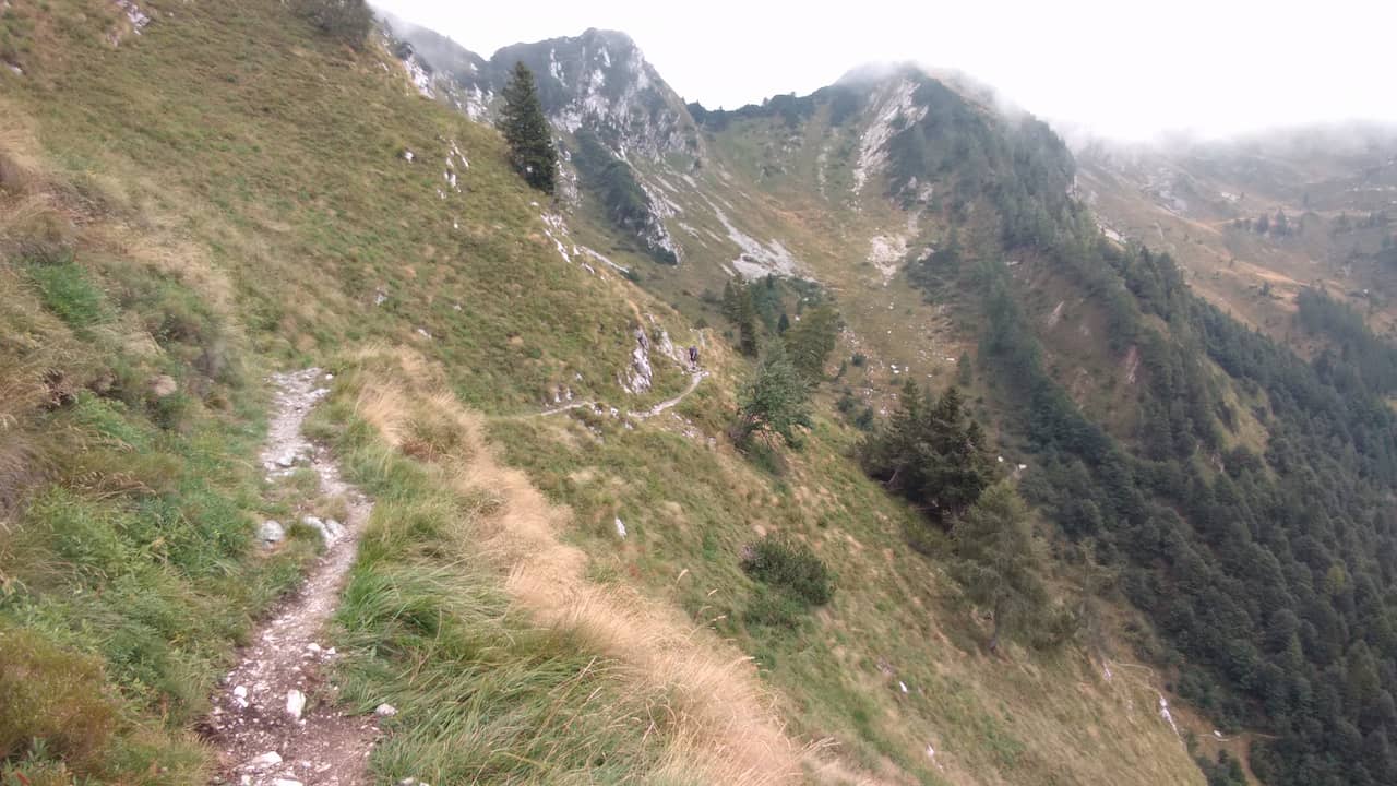
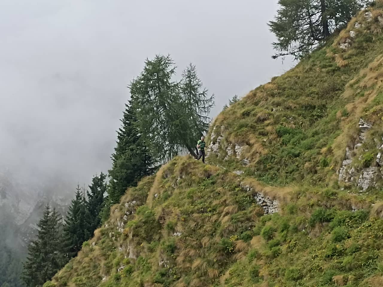
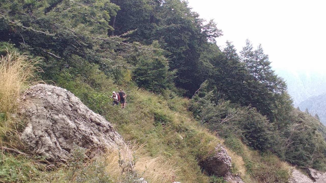
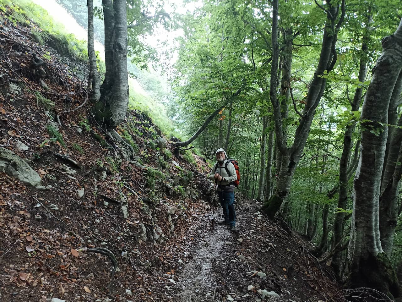
This trek is recommended for experienced hikers, as there are many climbs and descents at high altitudes and fantastic landscapes.
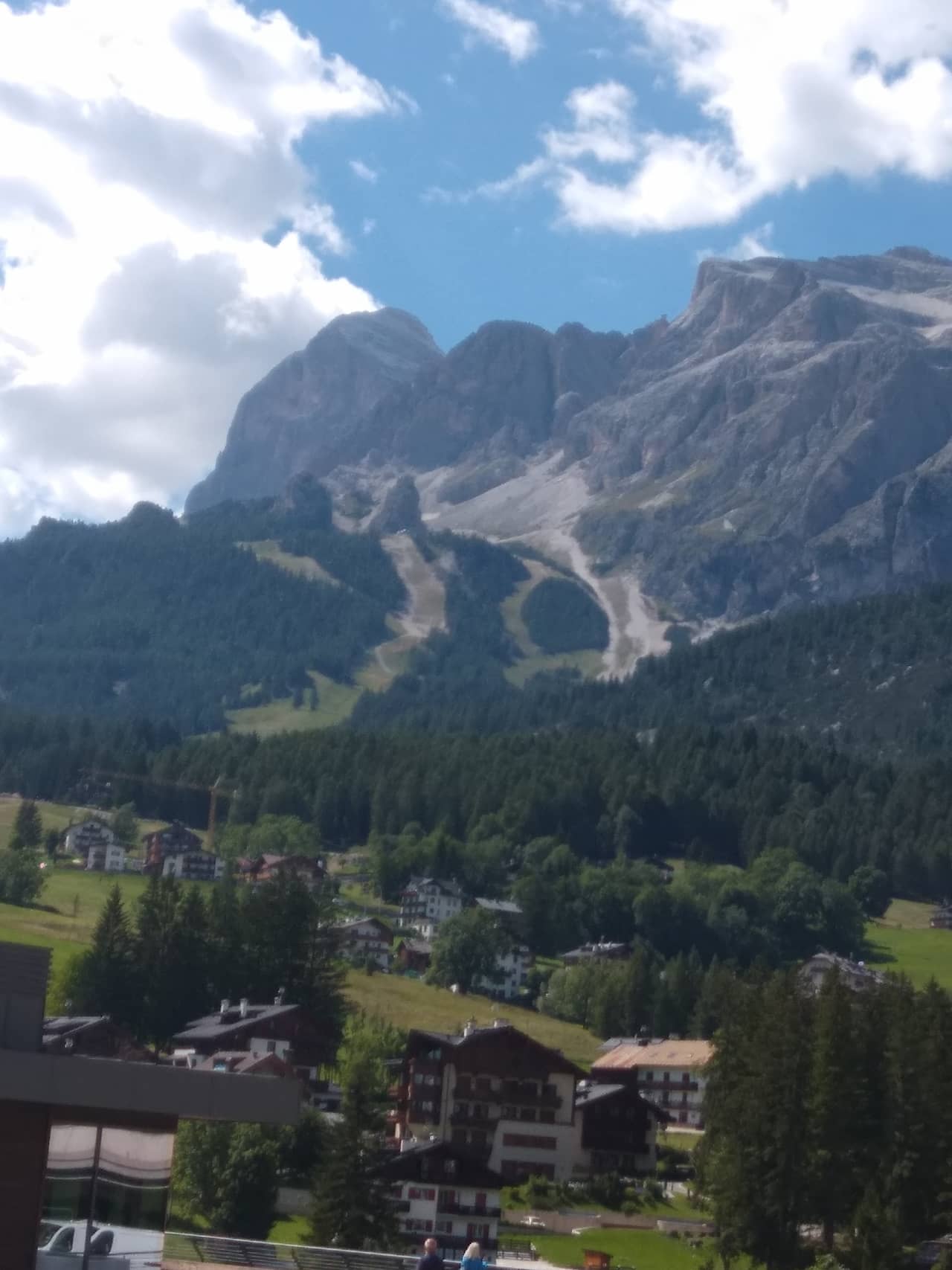
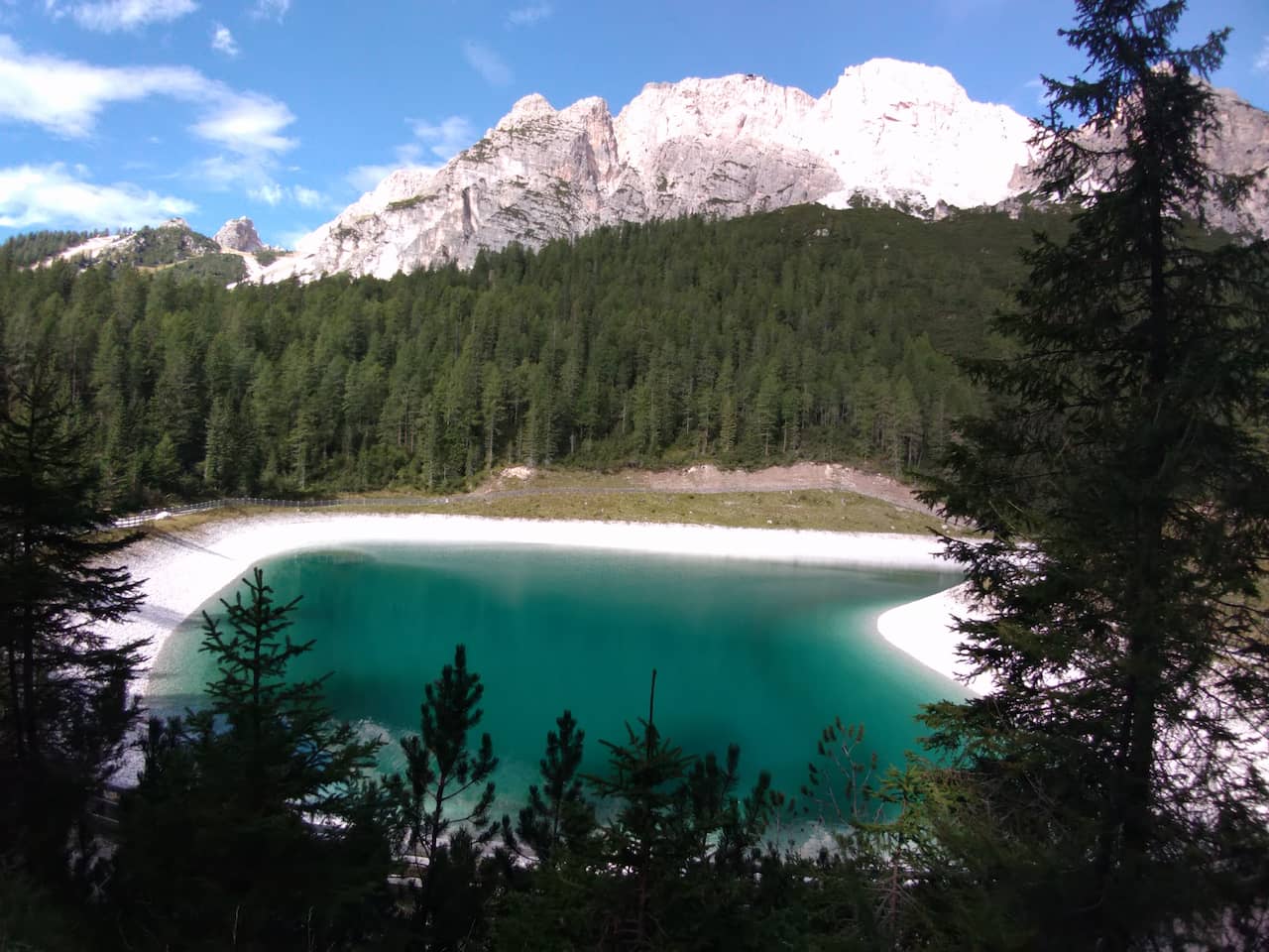
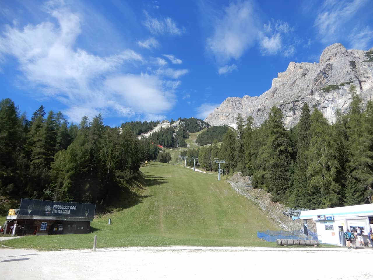
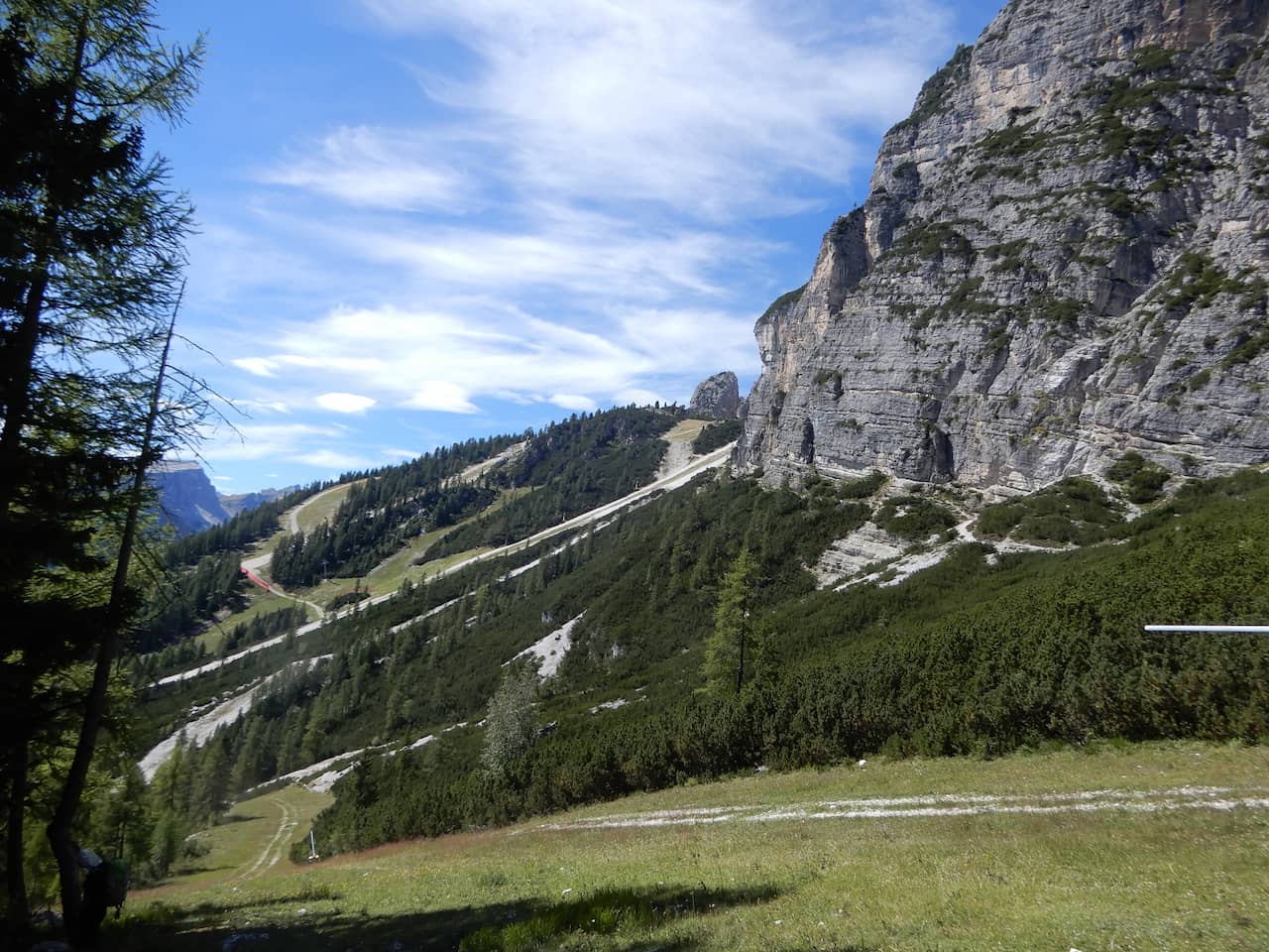
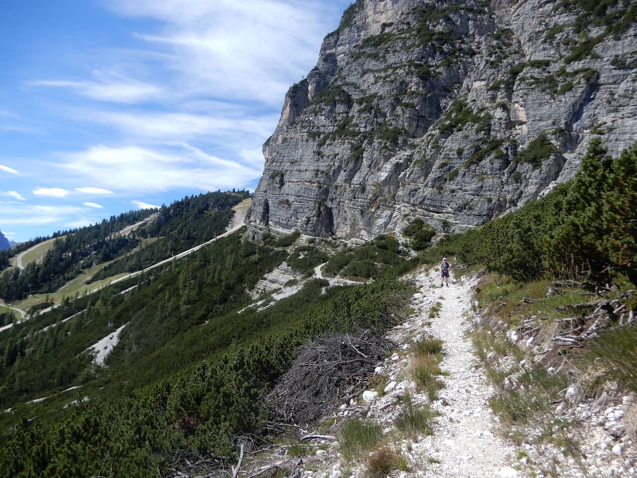
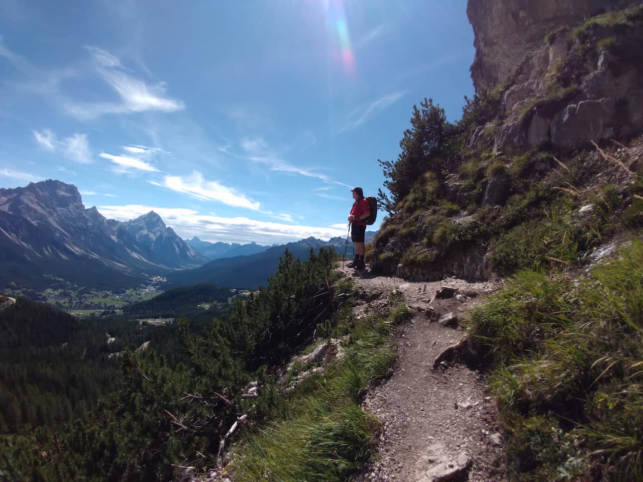
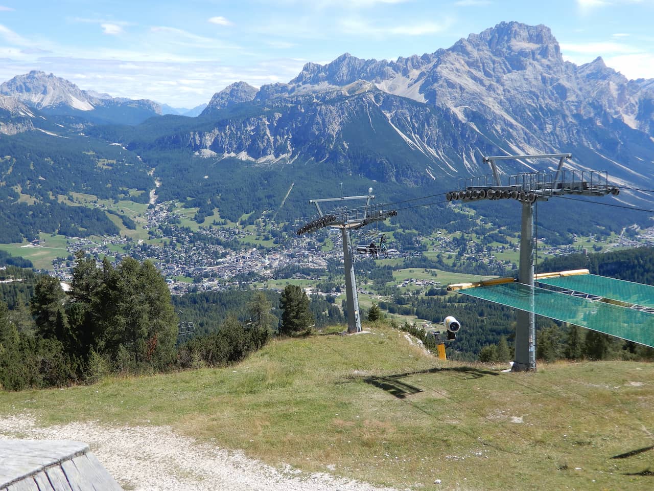
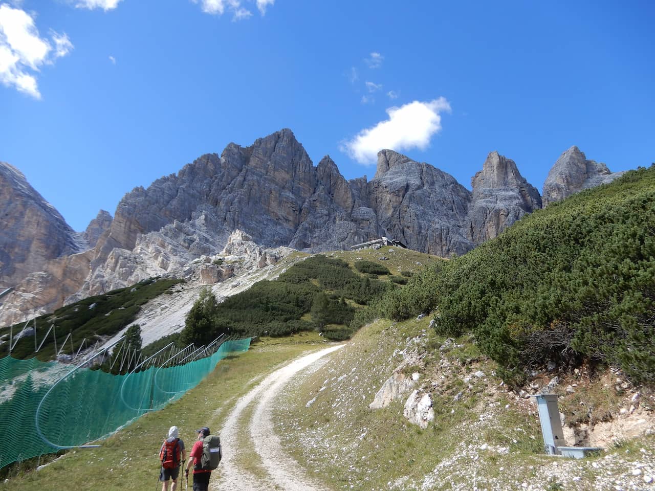
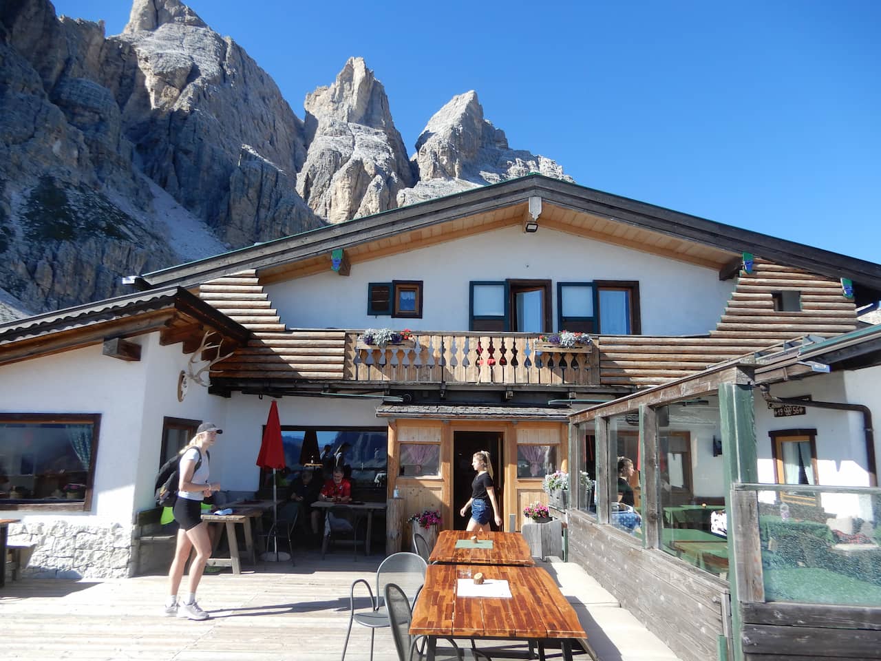
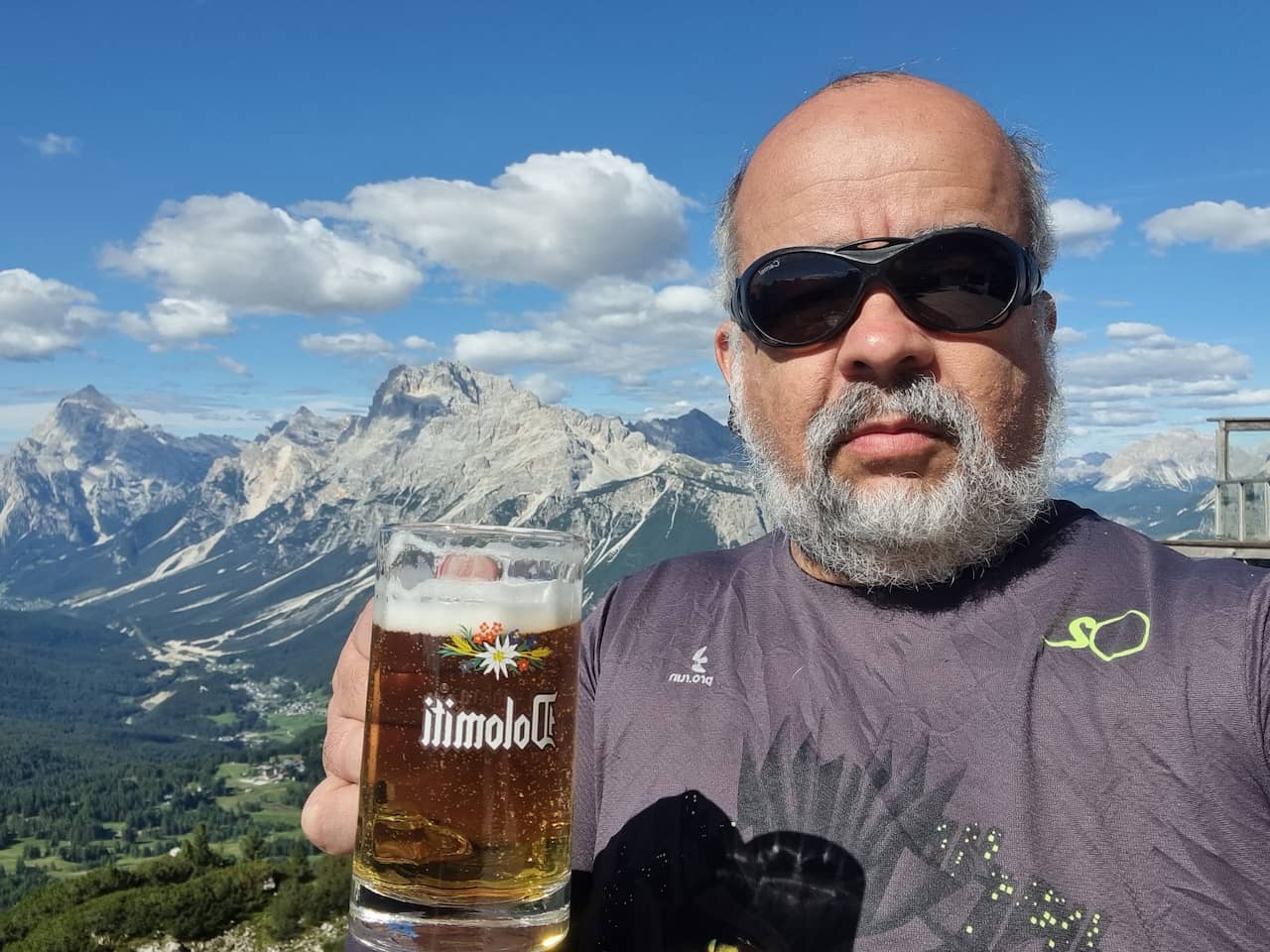
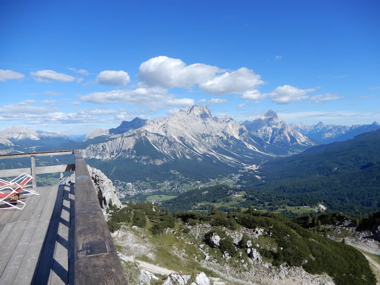
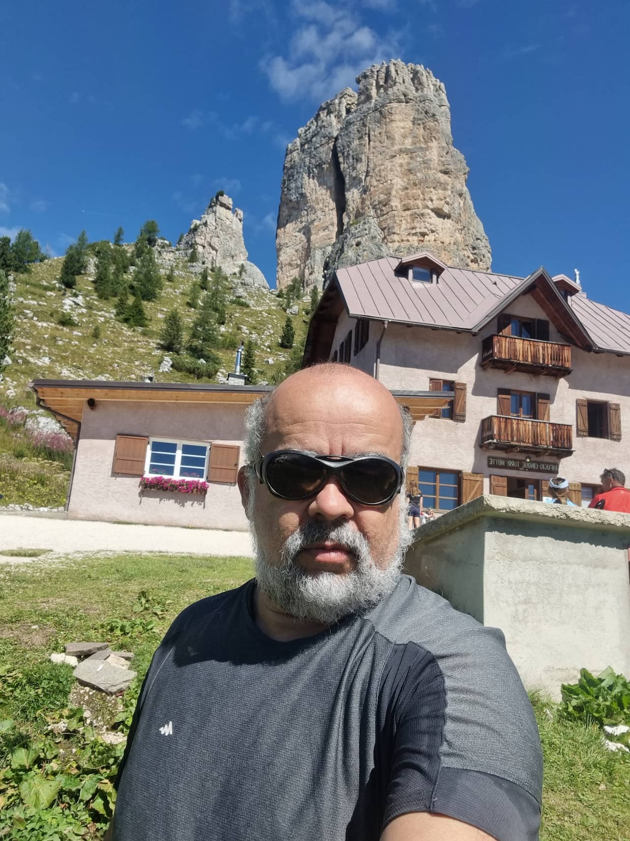
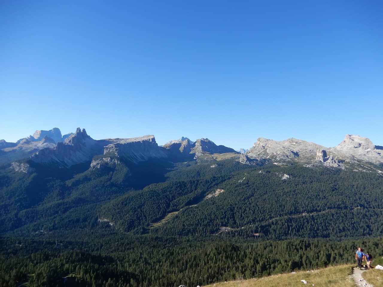
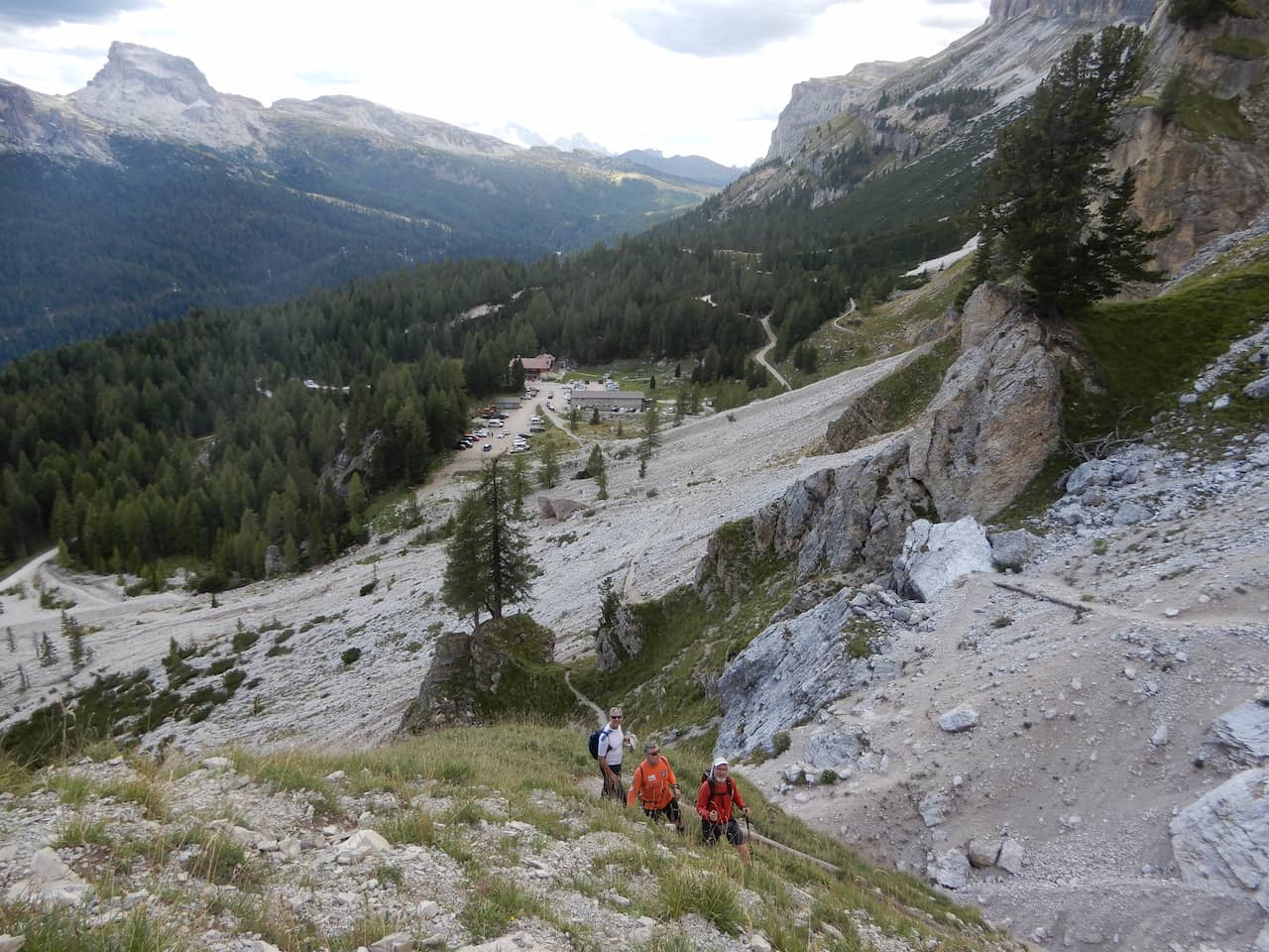
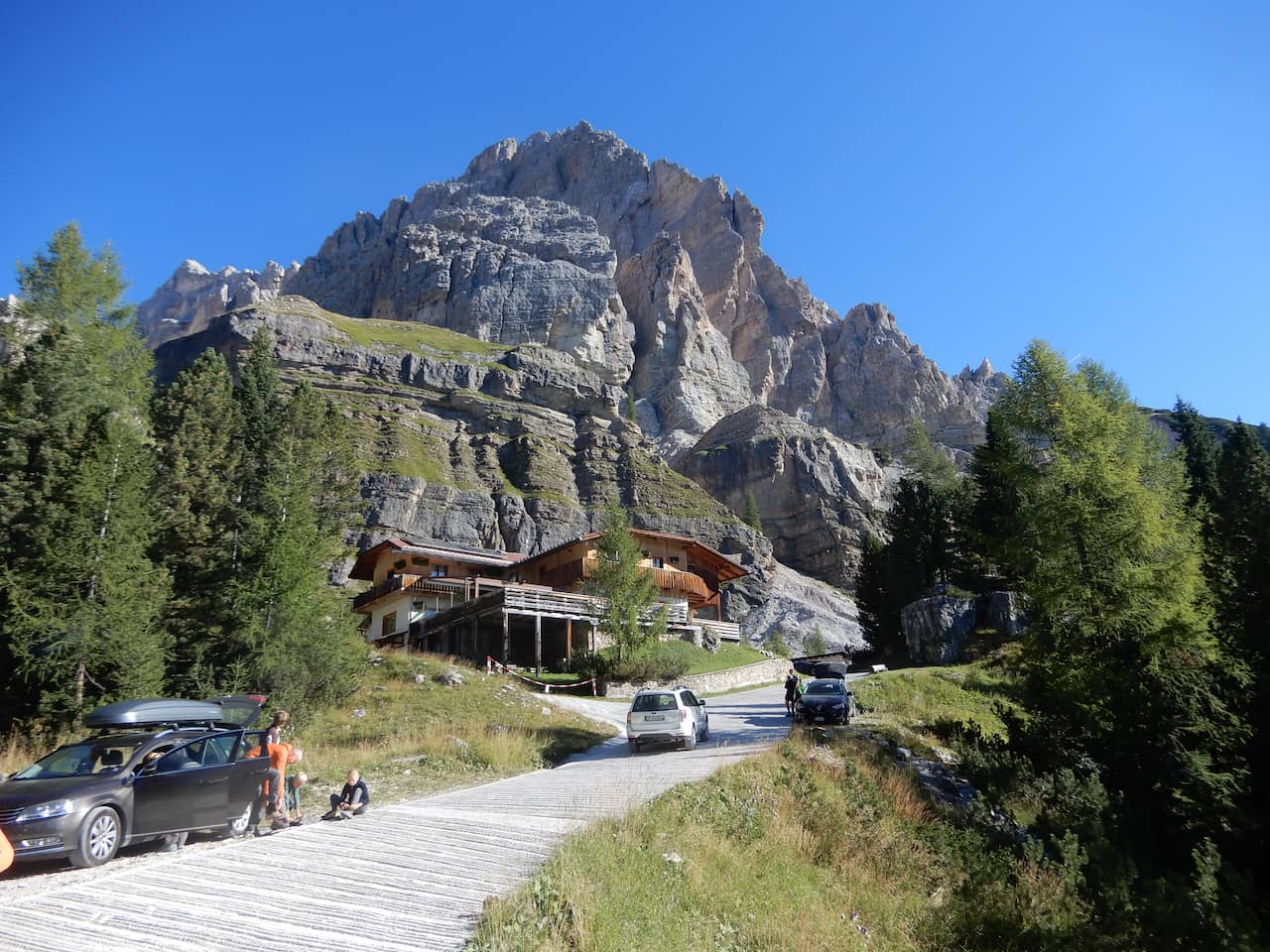
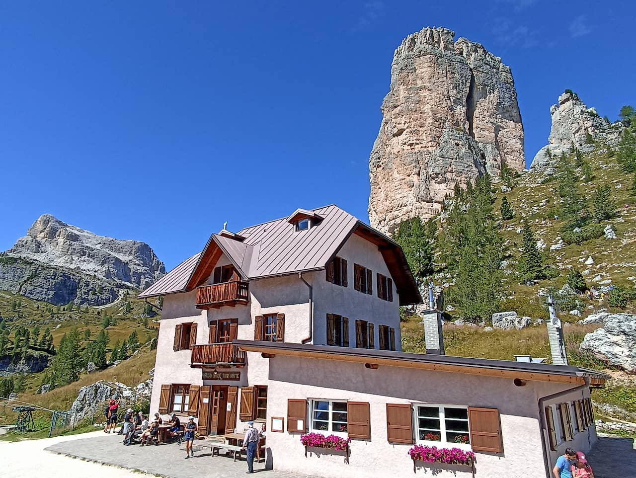
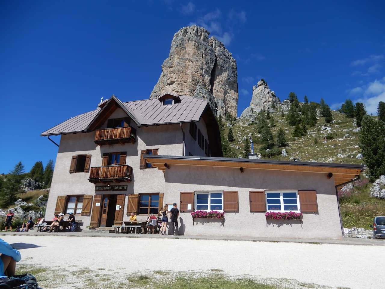
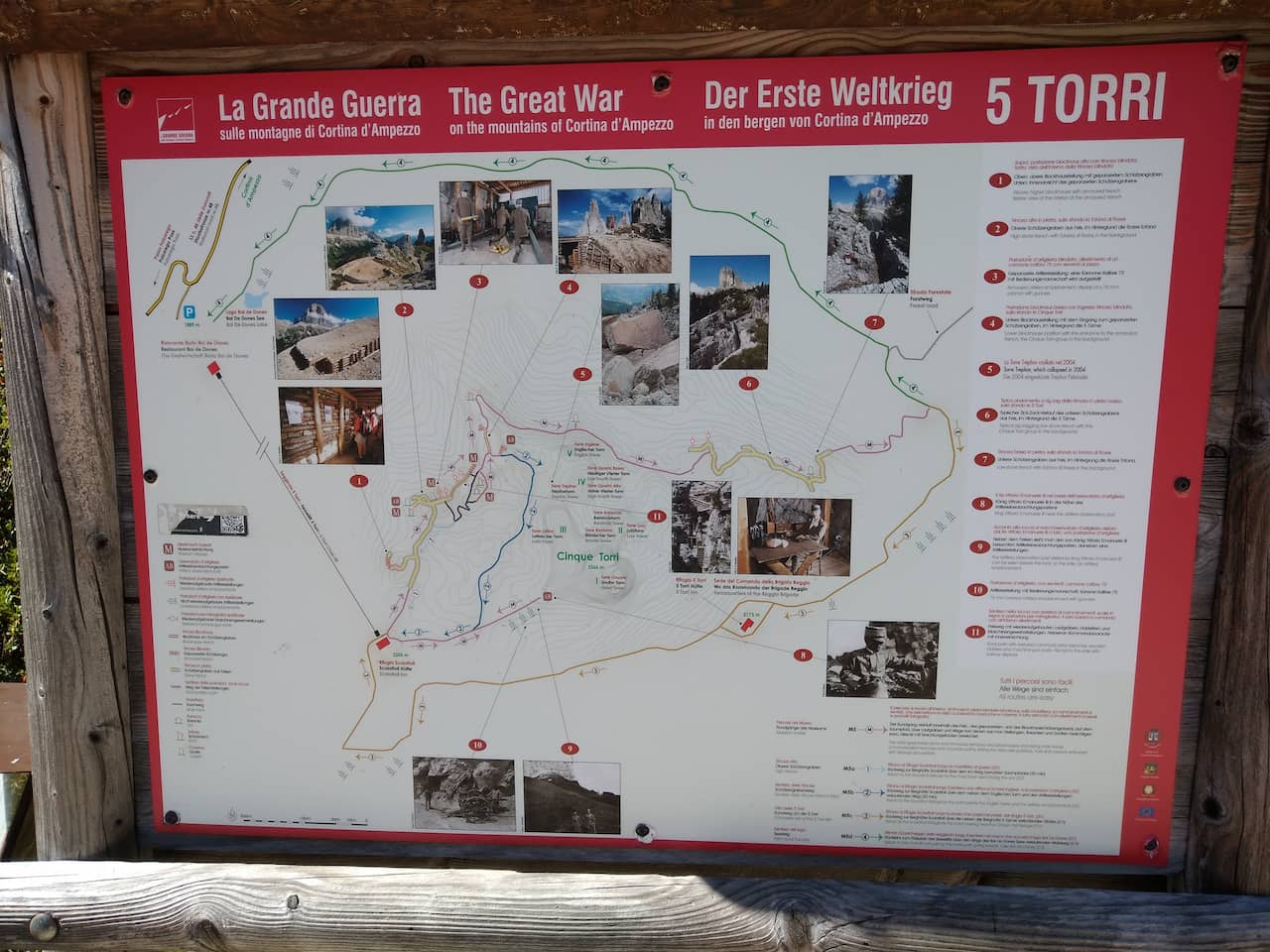
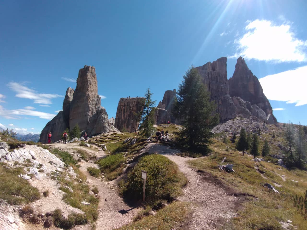
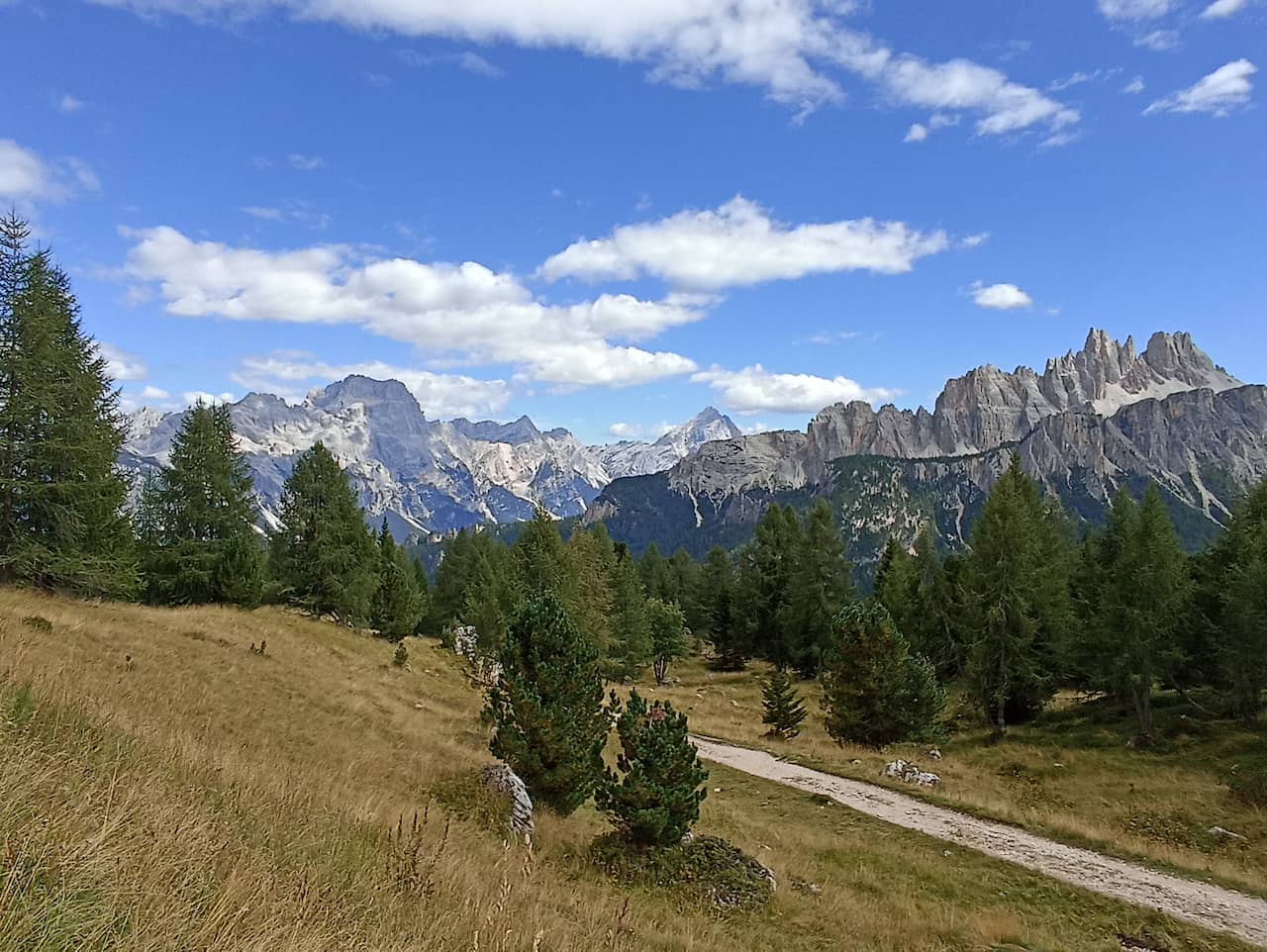
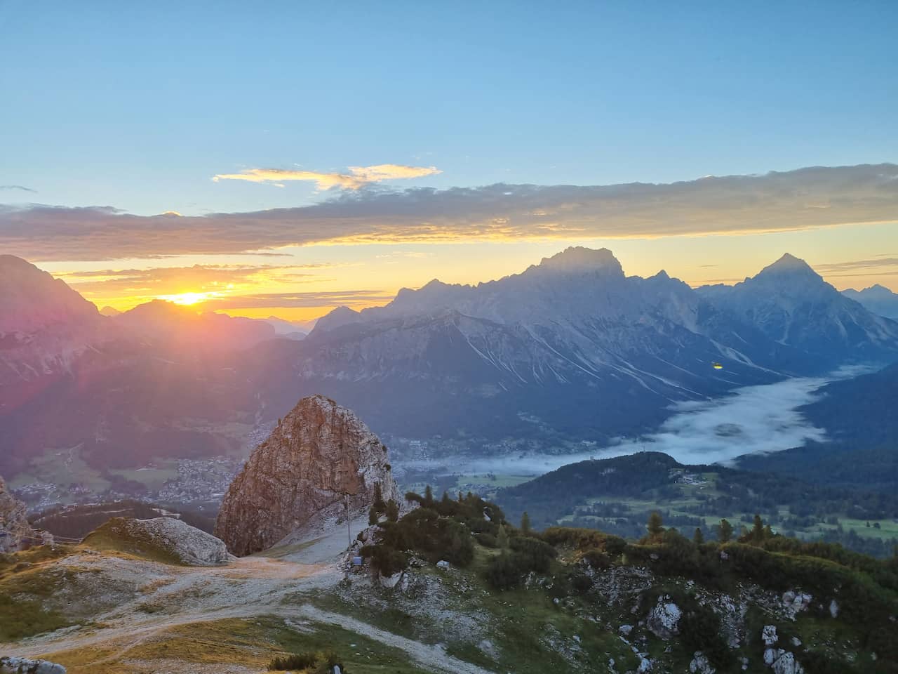
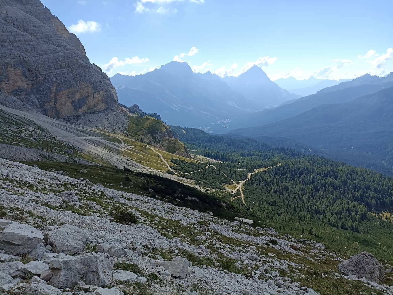
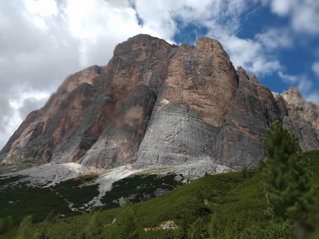
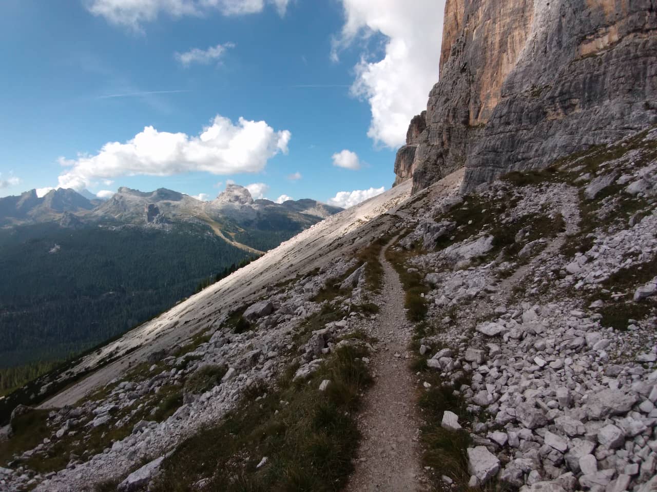
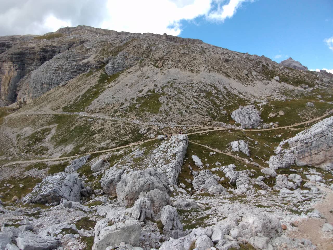
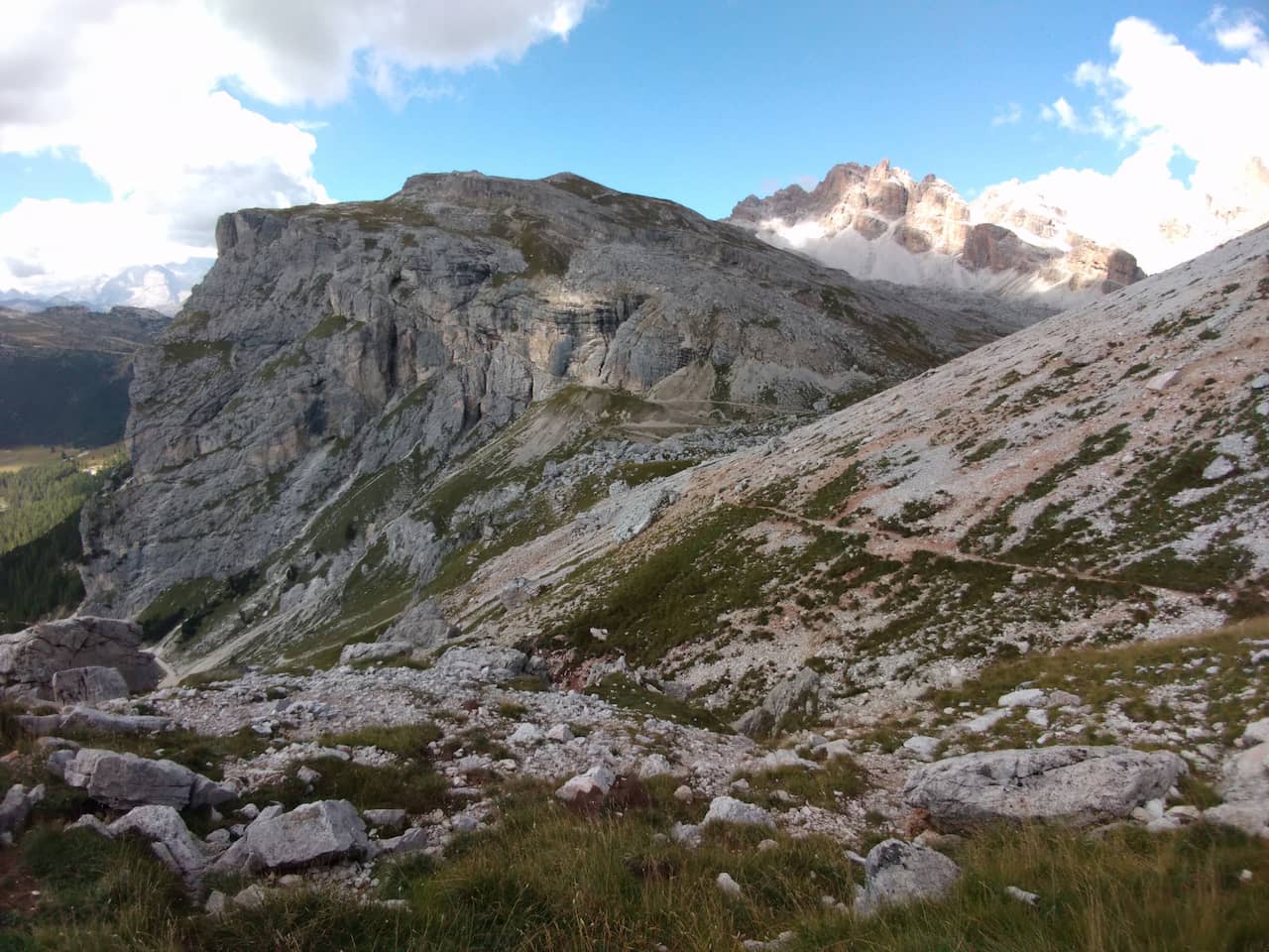
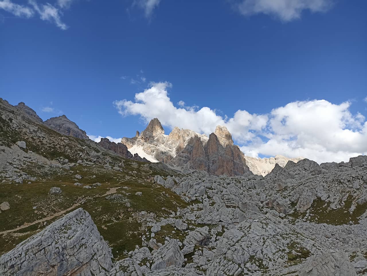
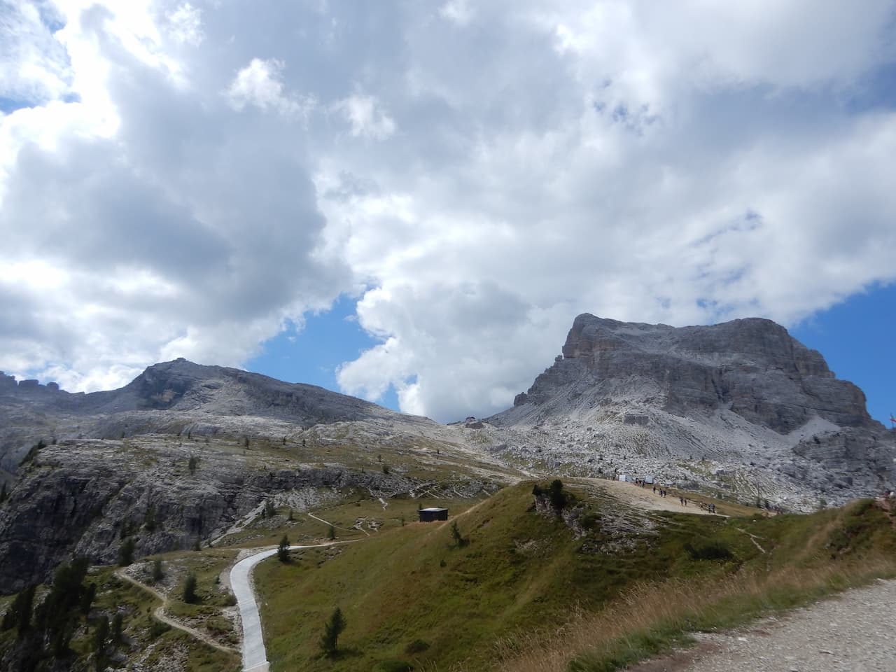
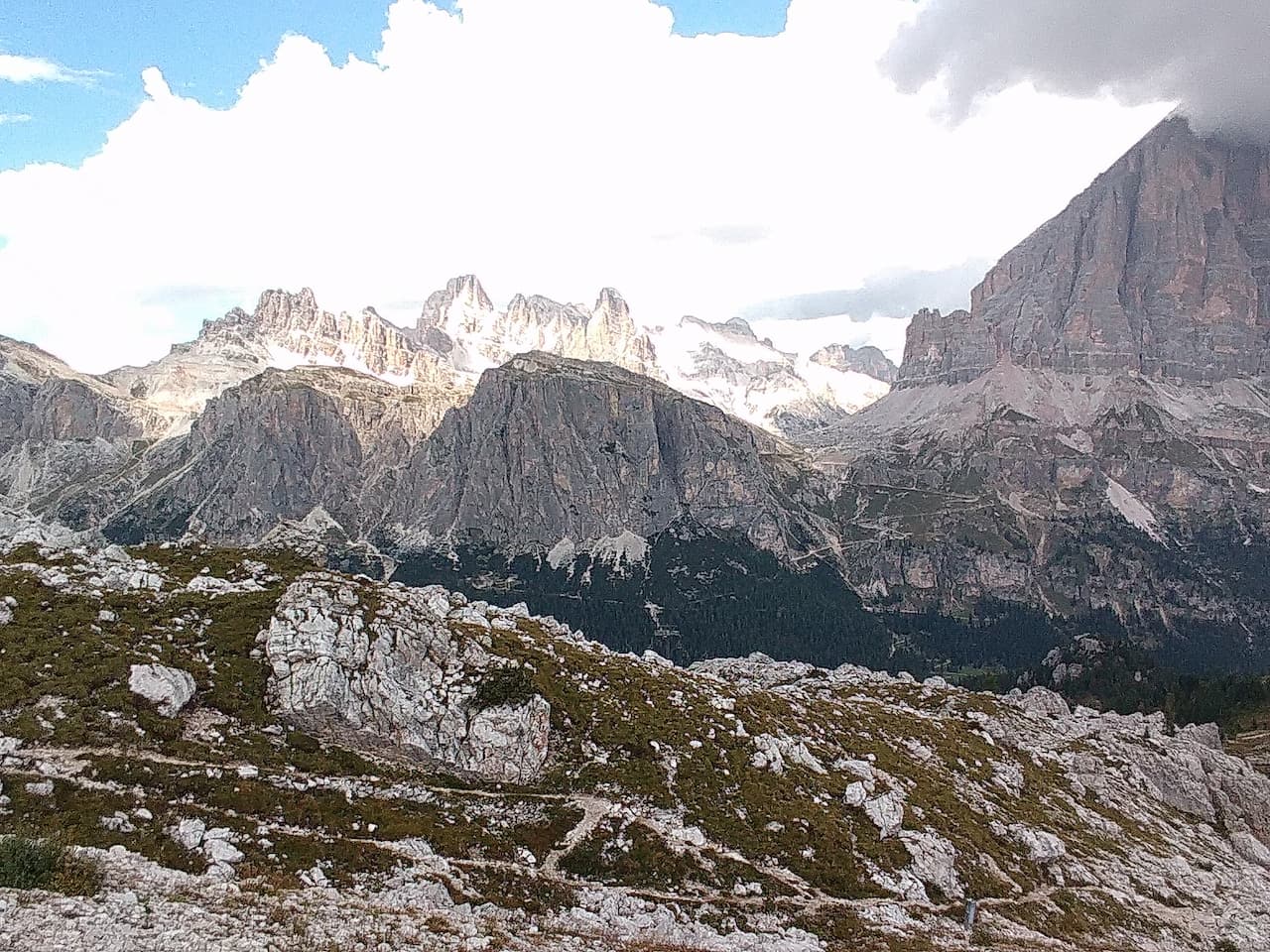
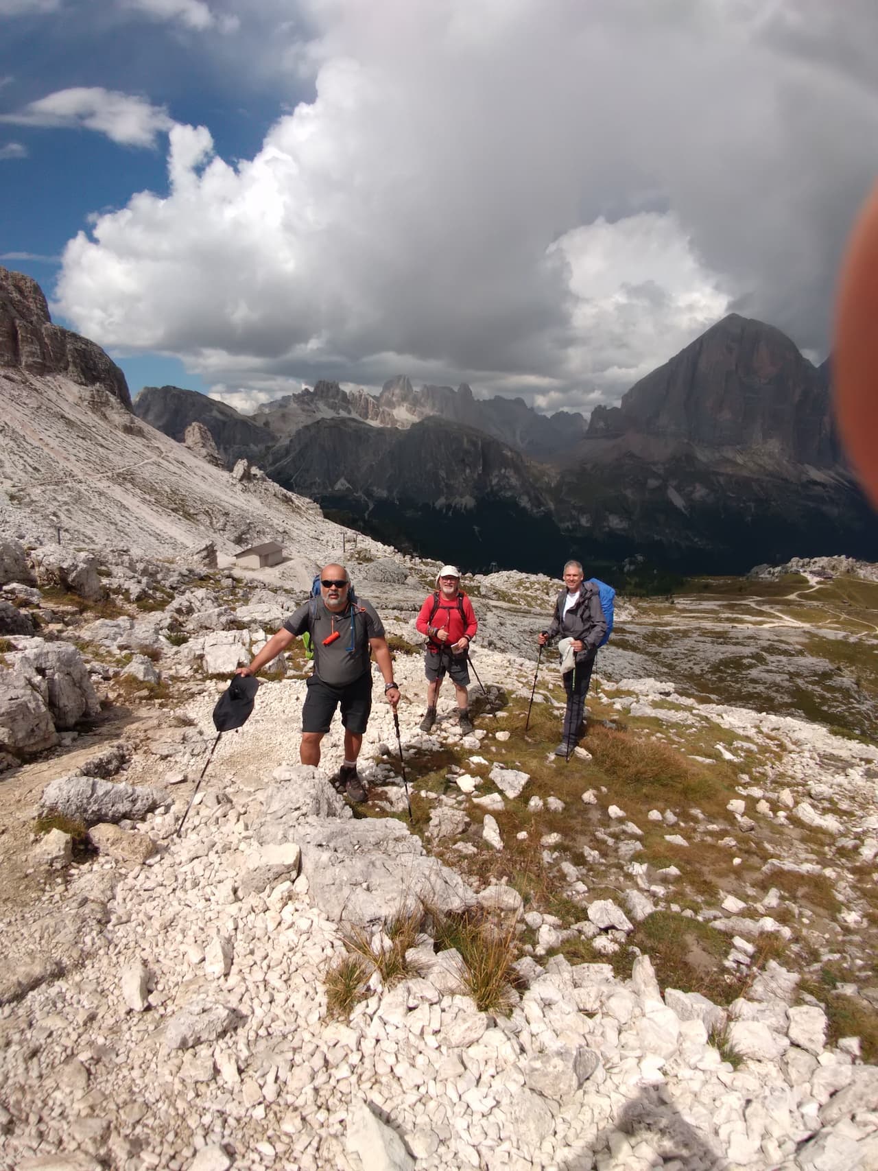
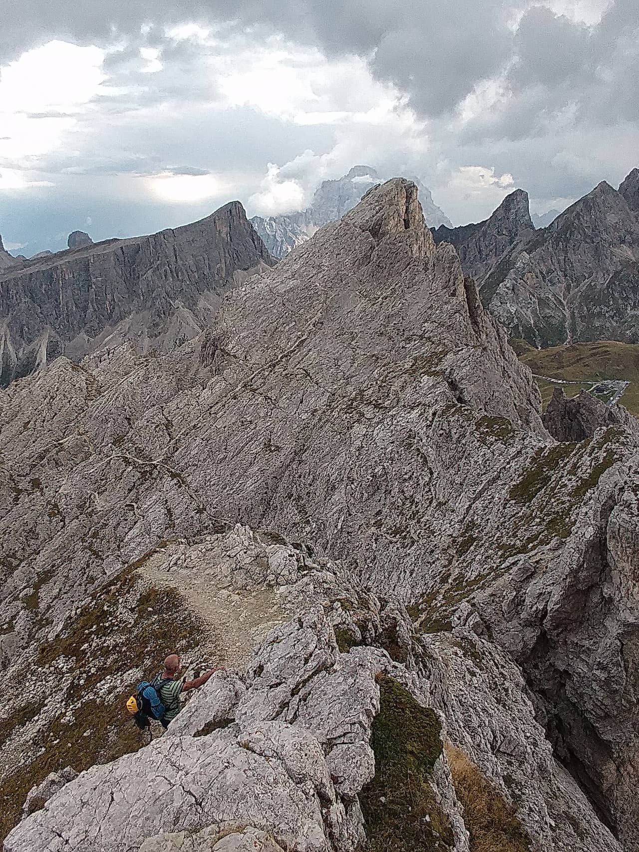
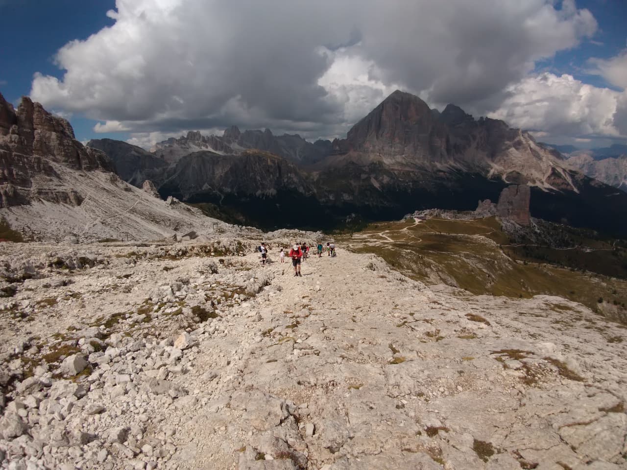
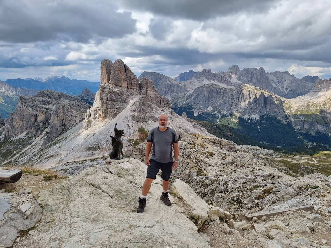
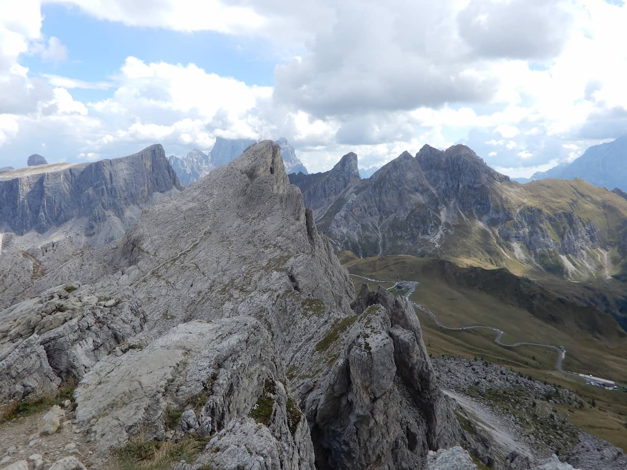
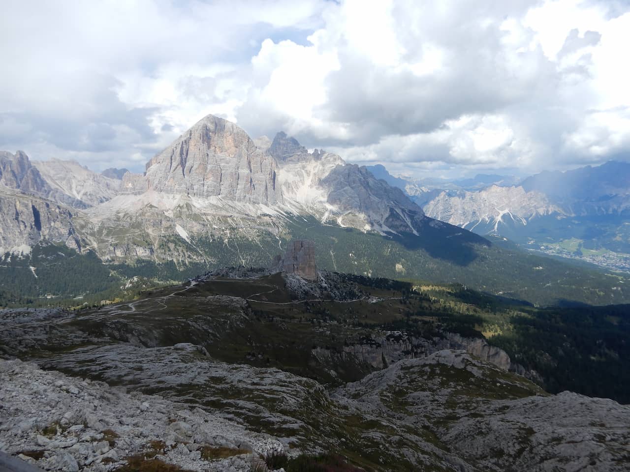
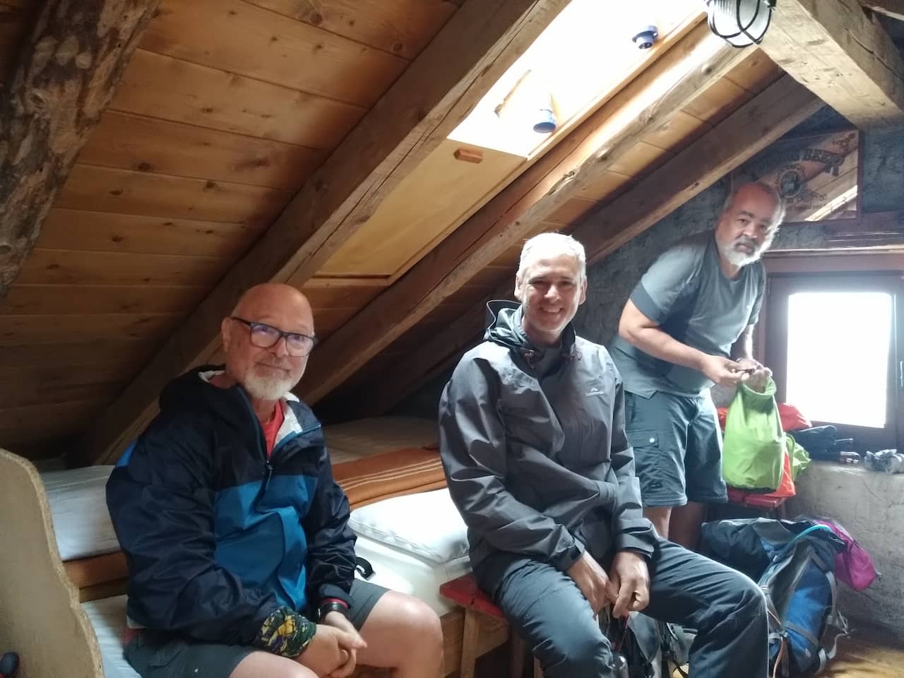
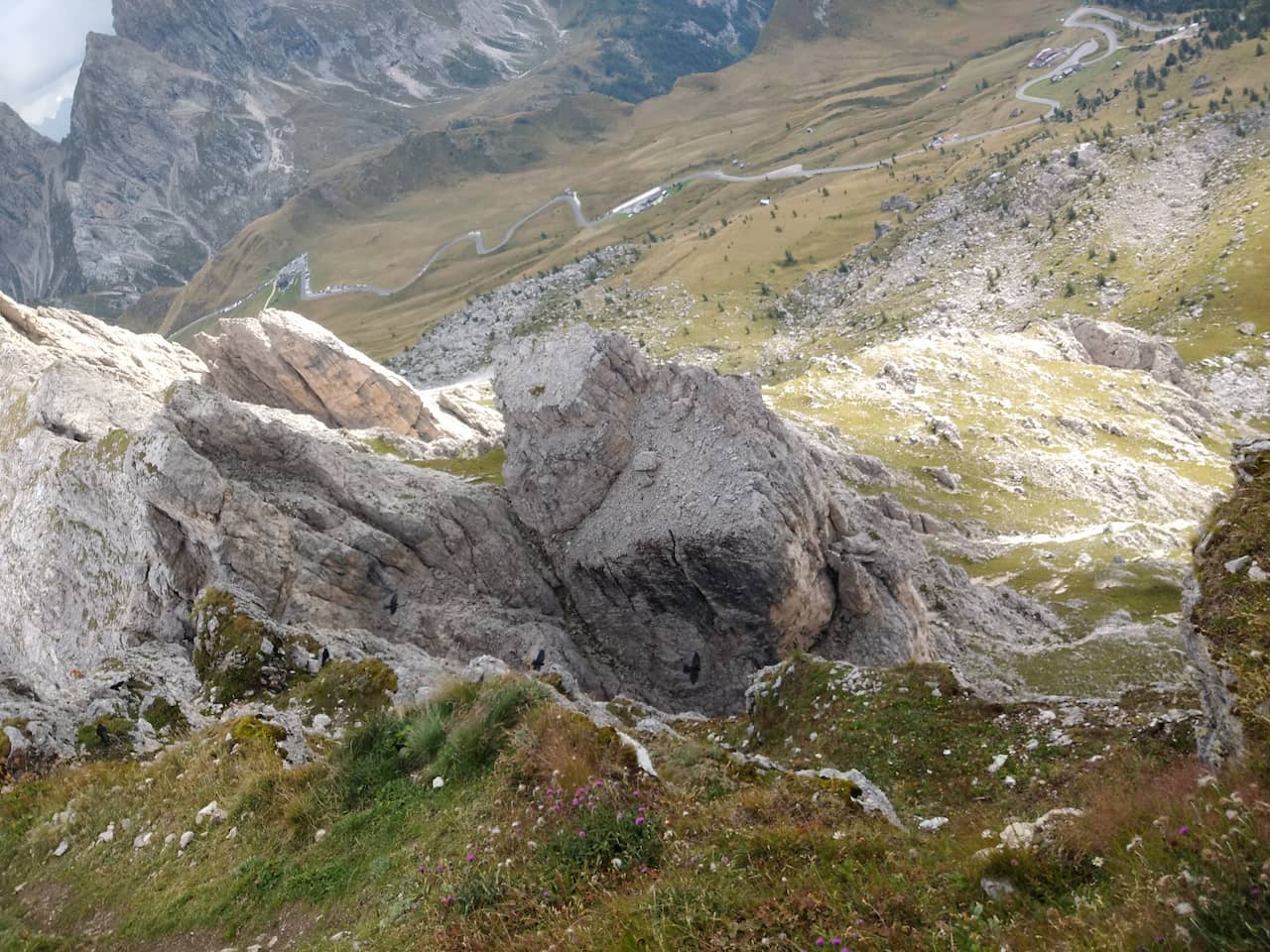
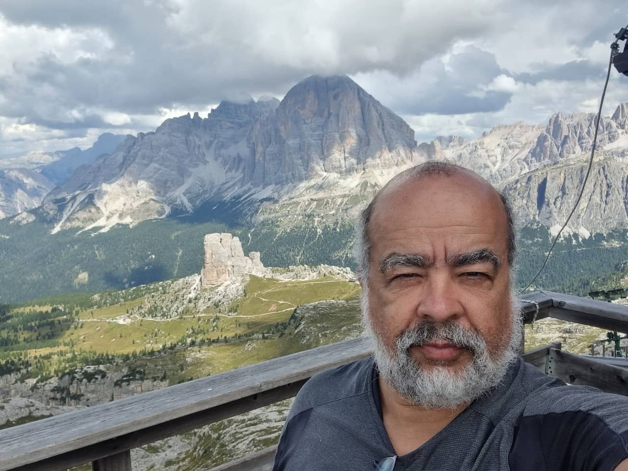
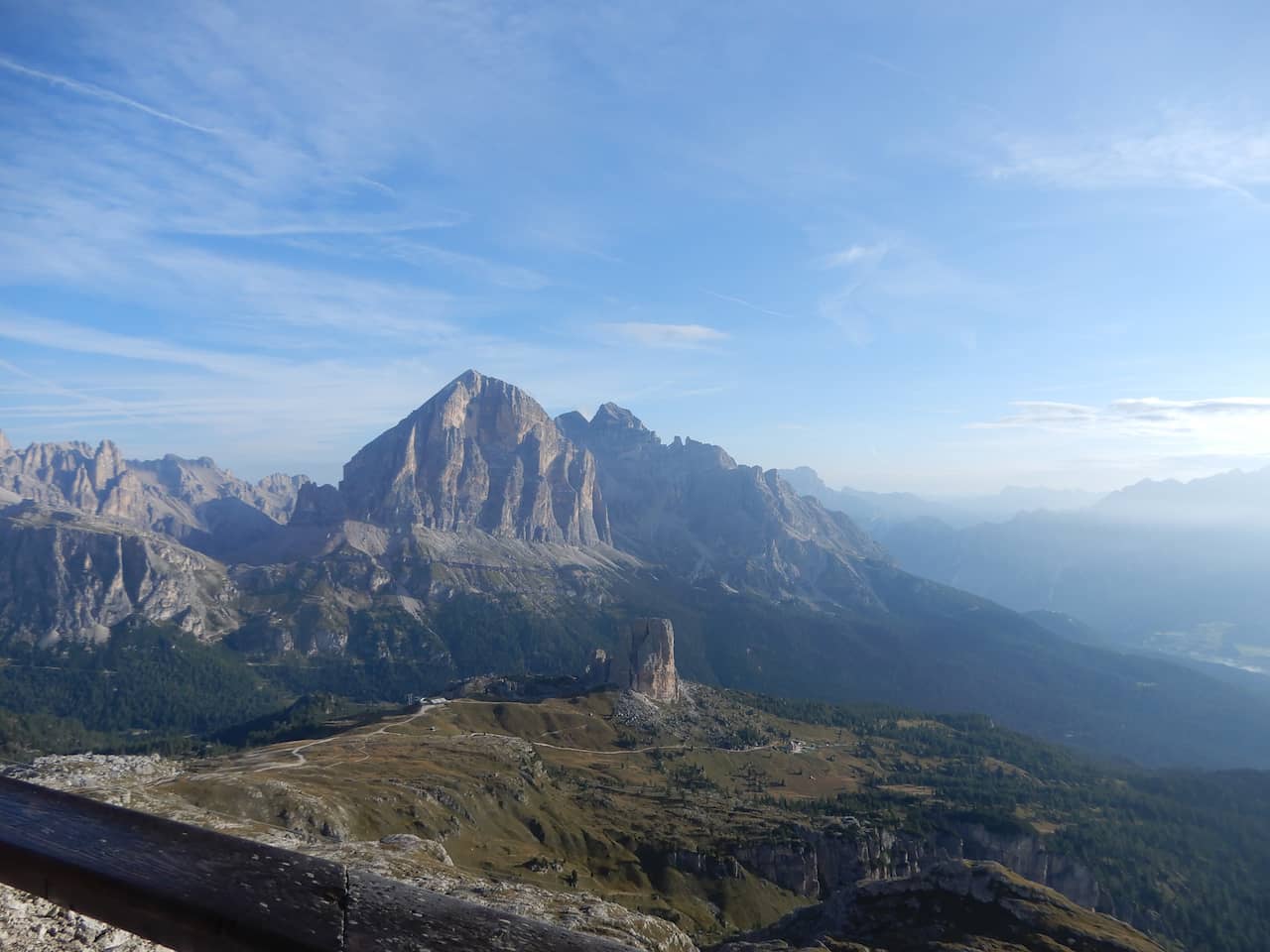
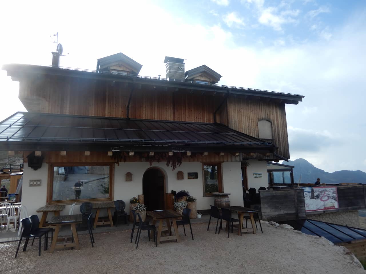
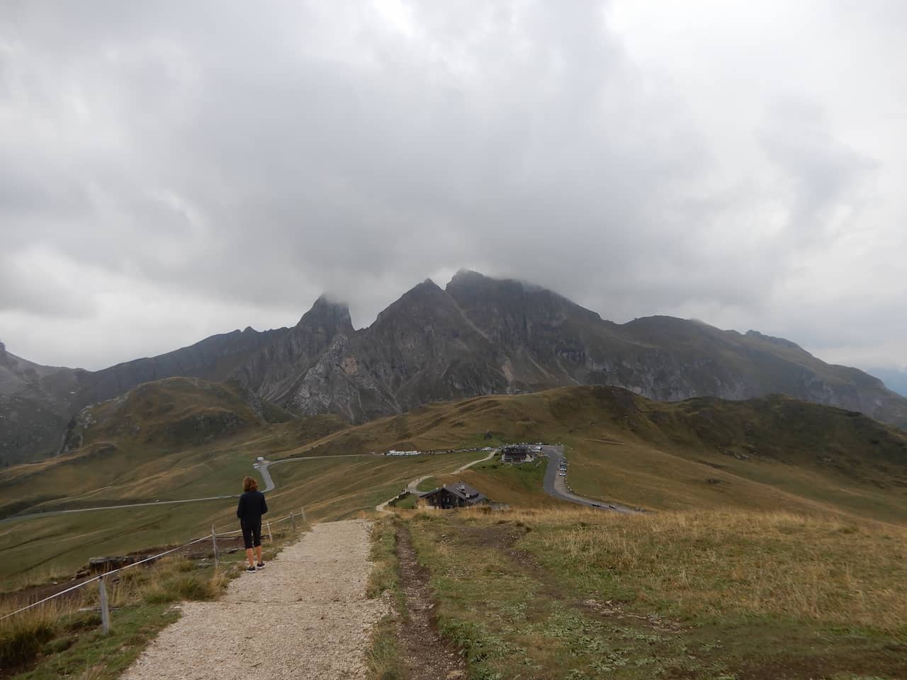
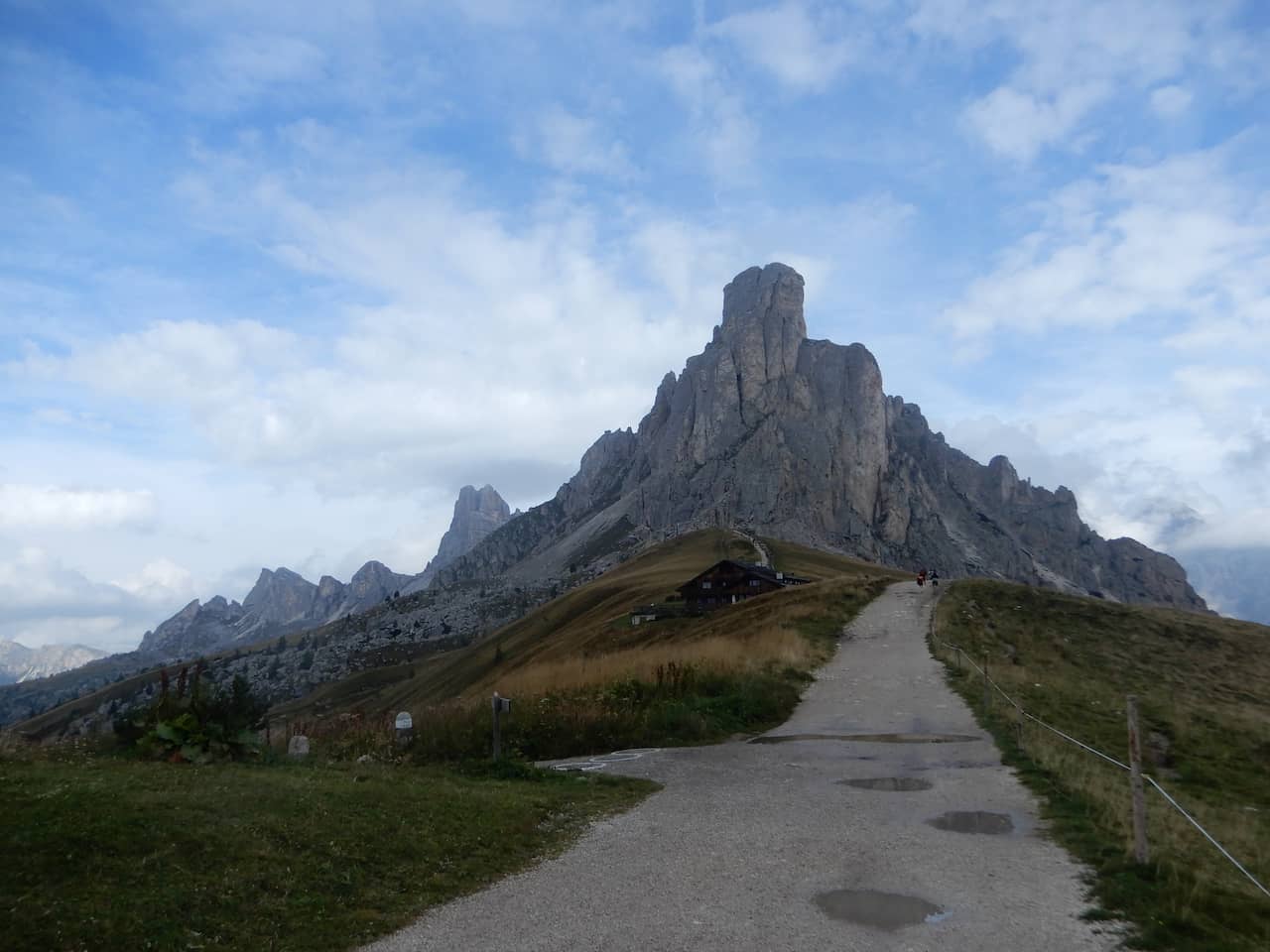
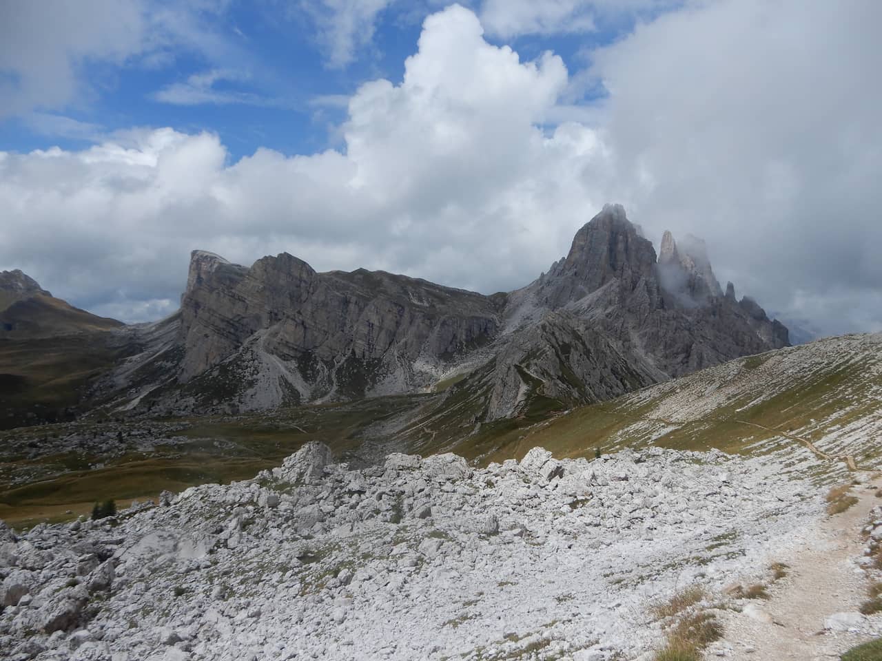
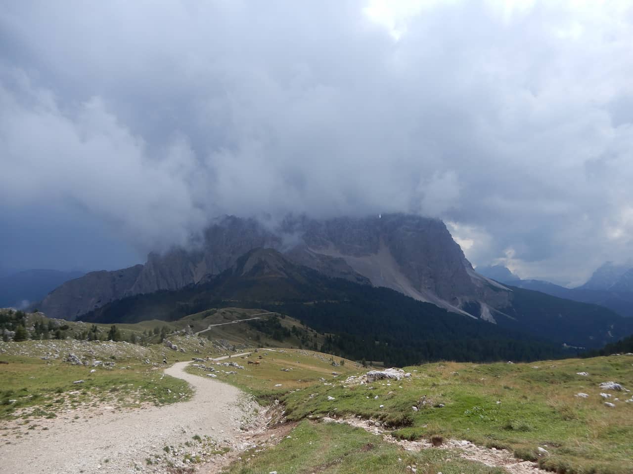
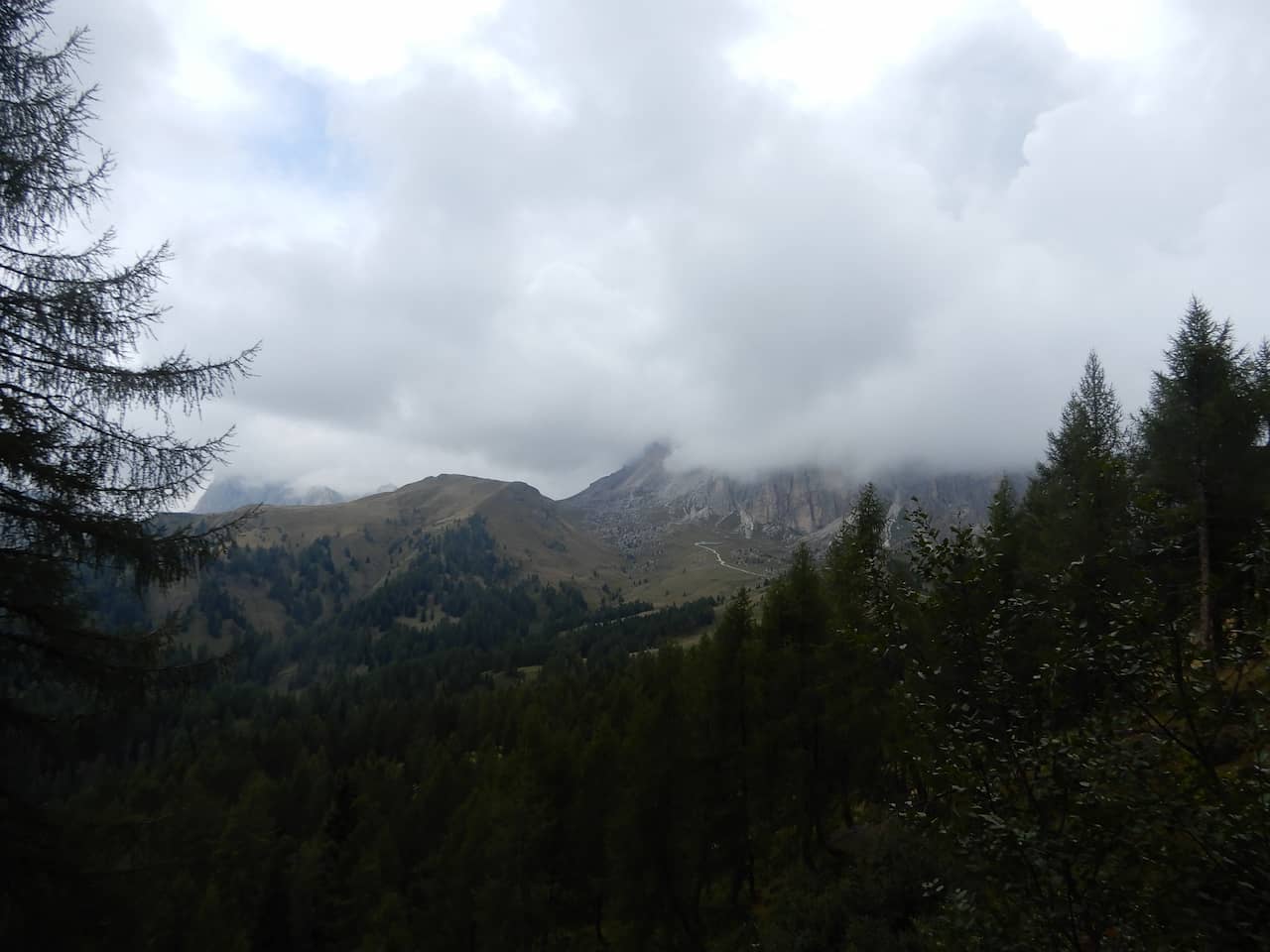
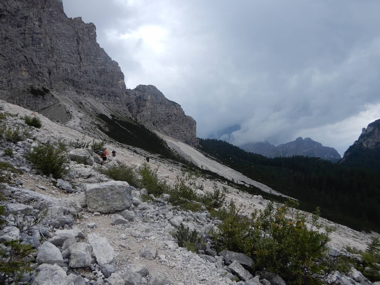
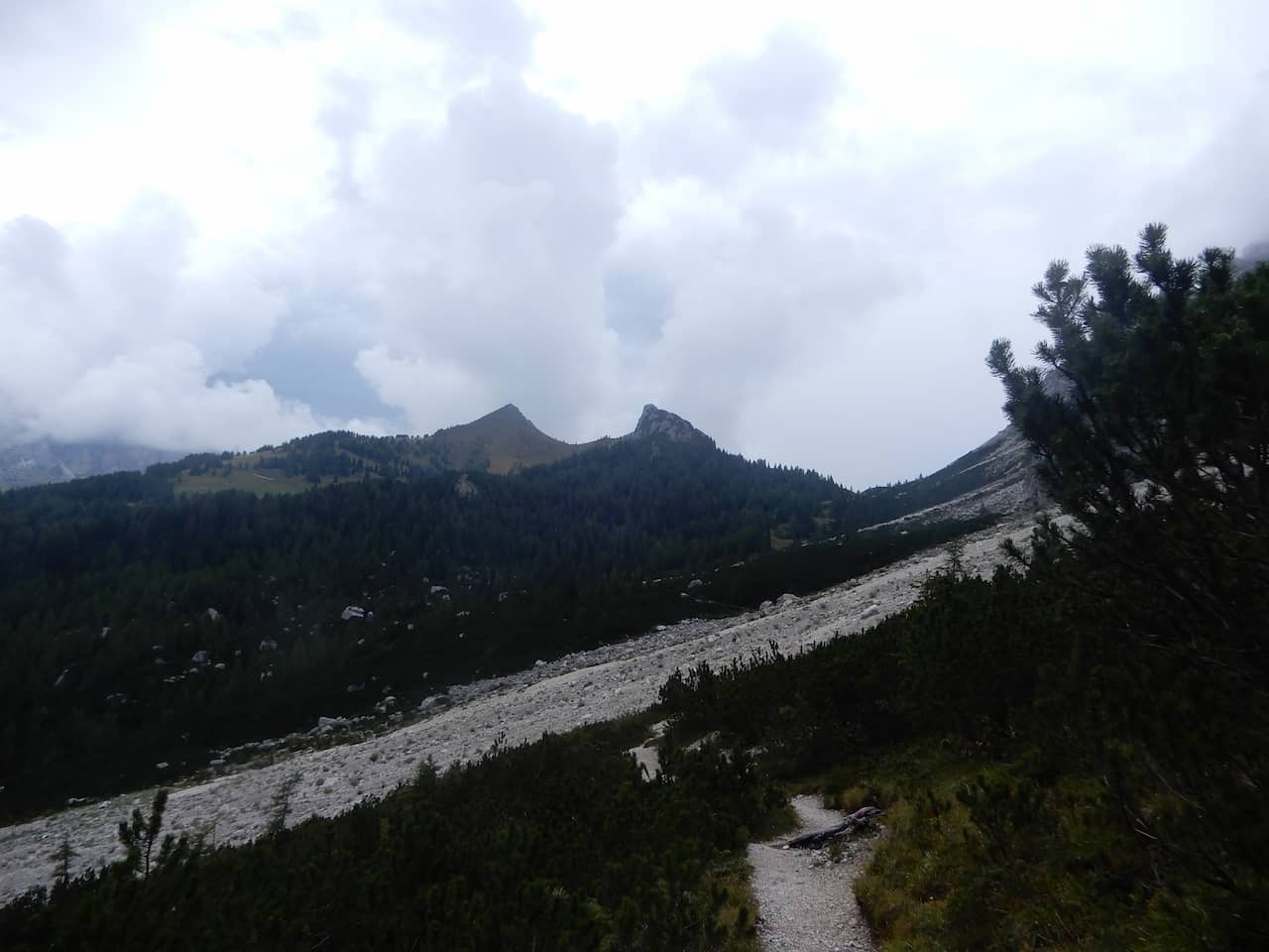
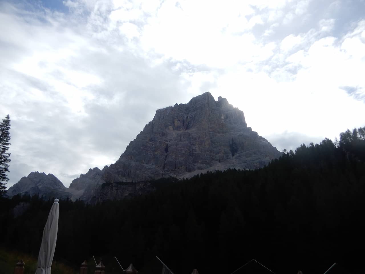
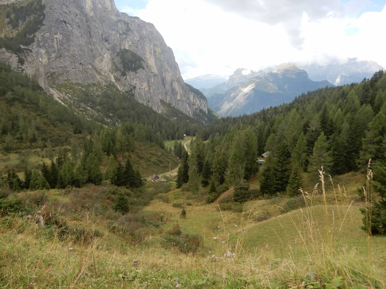
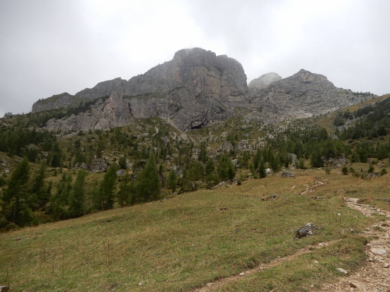
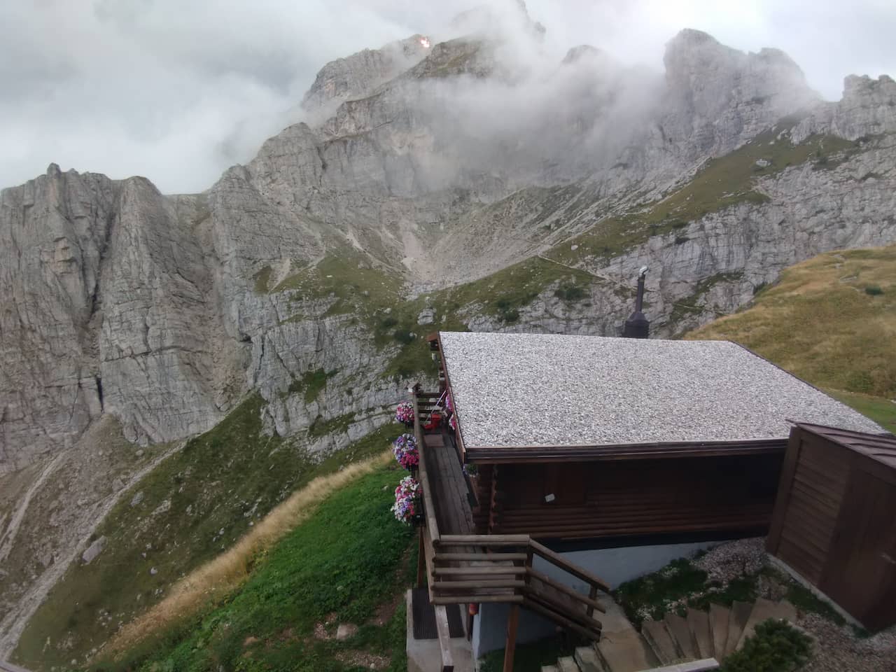
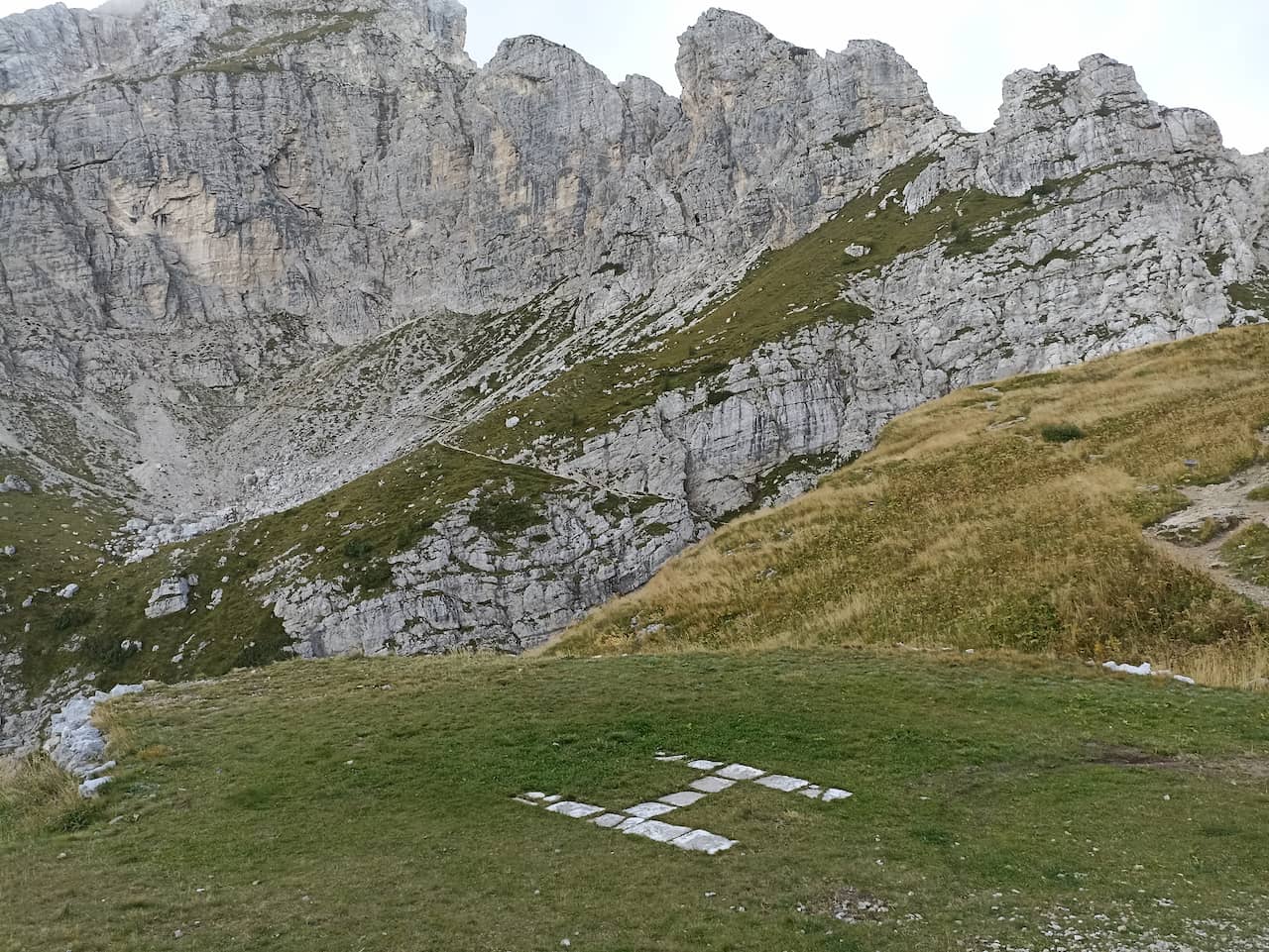
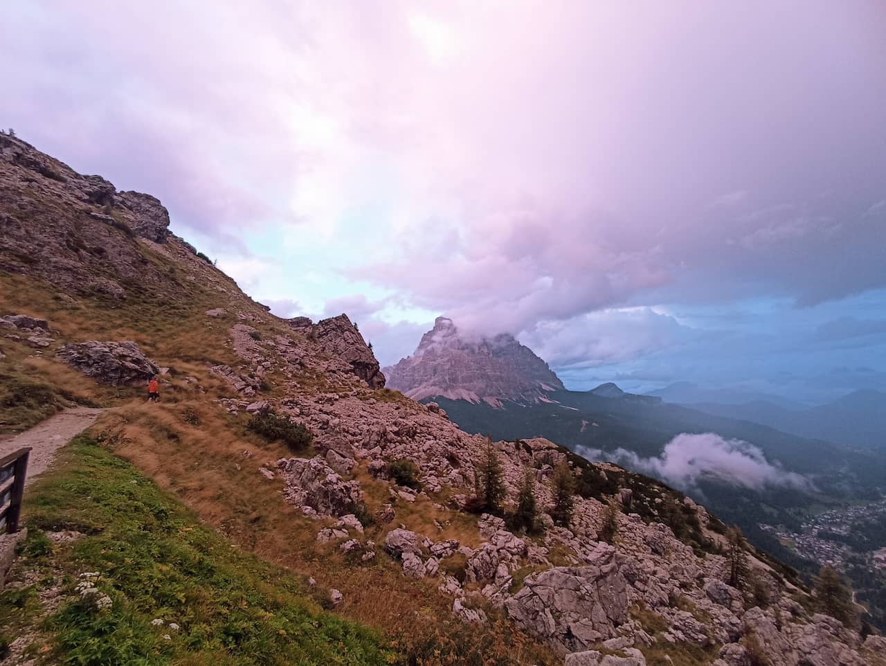
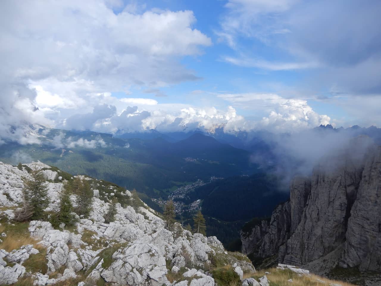
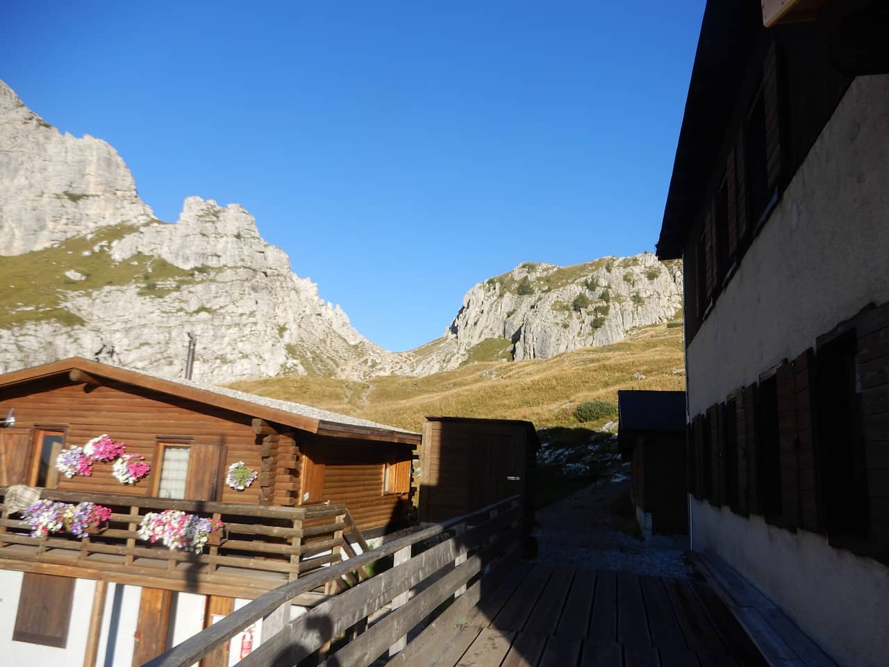
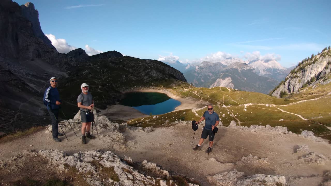
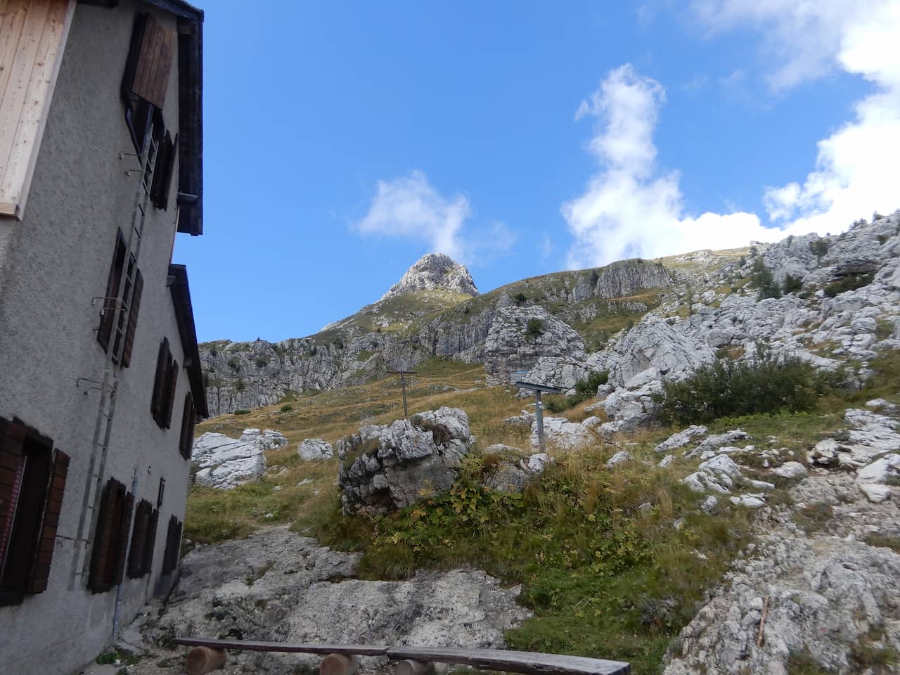
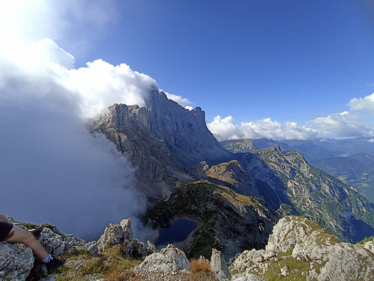
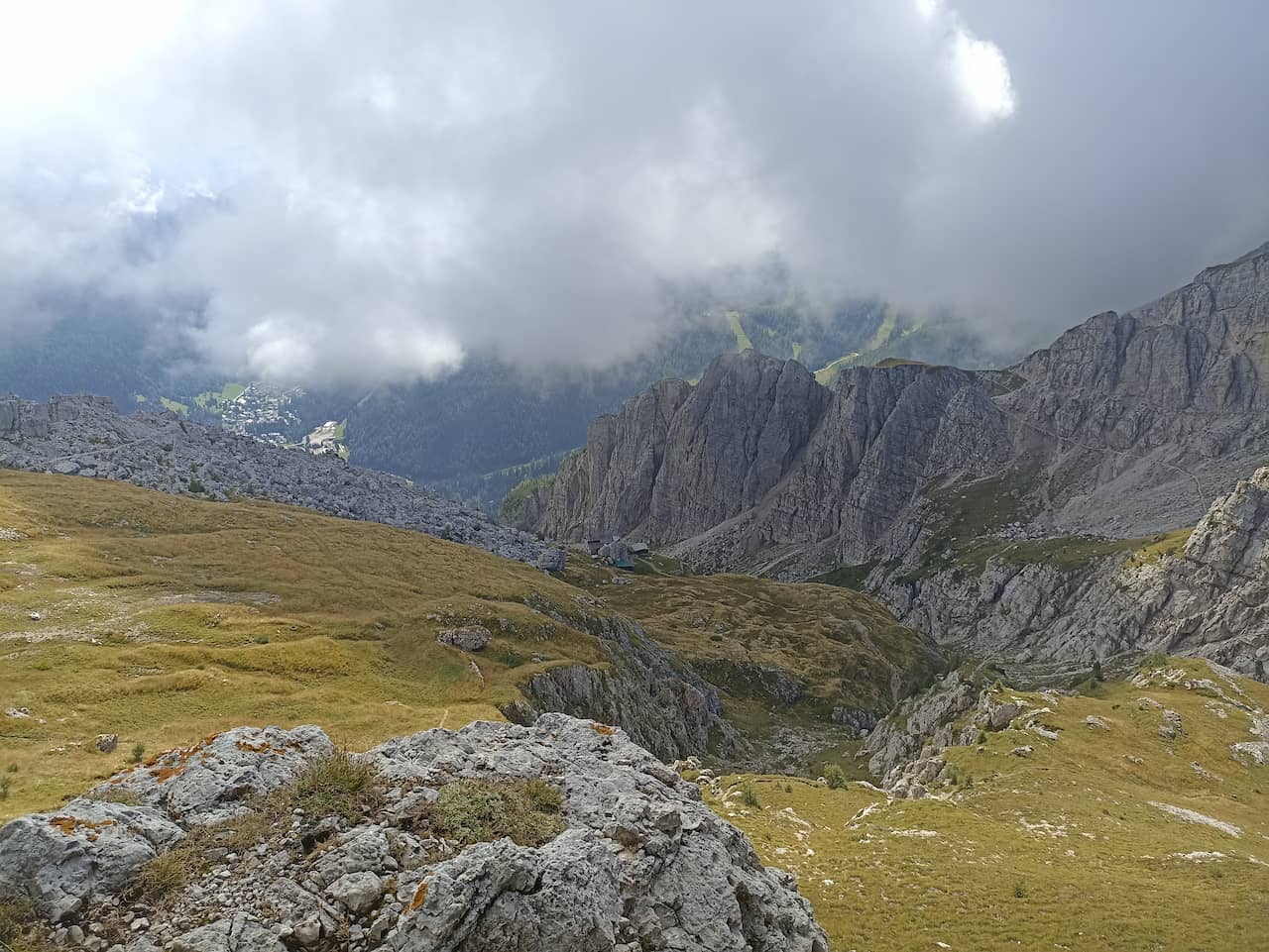
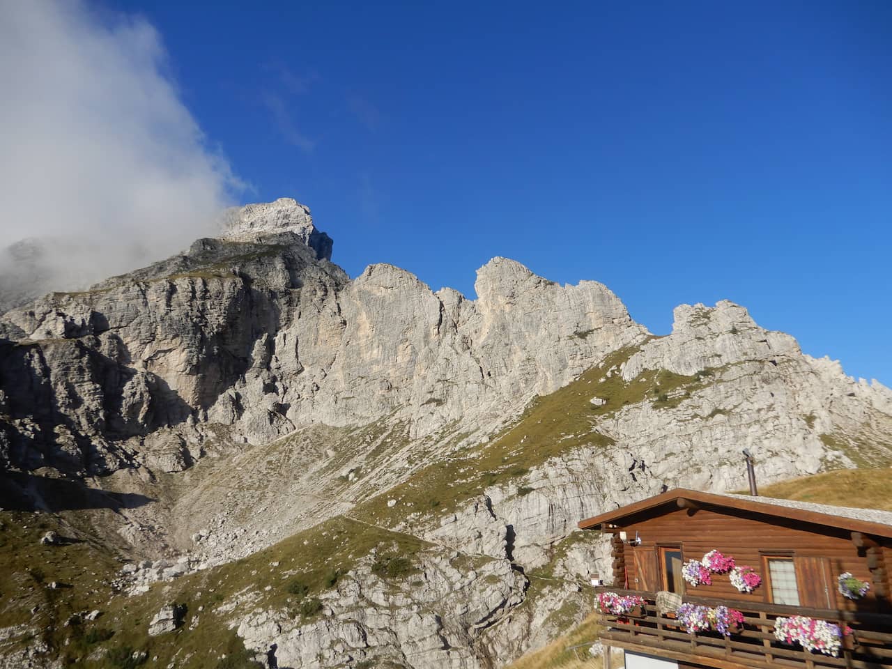
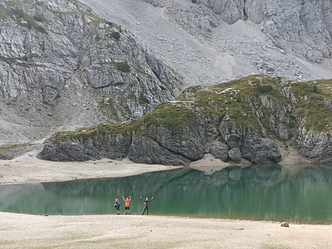
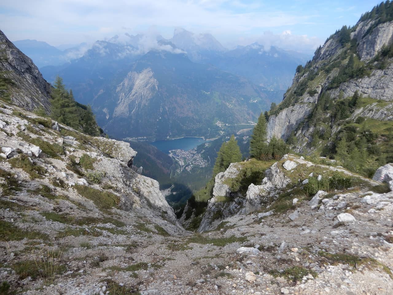
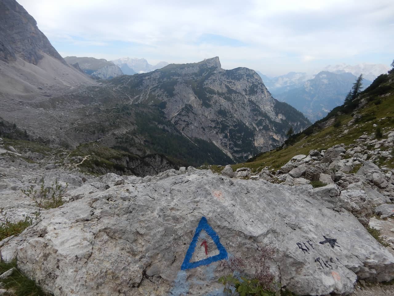
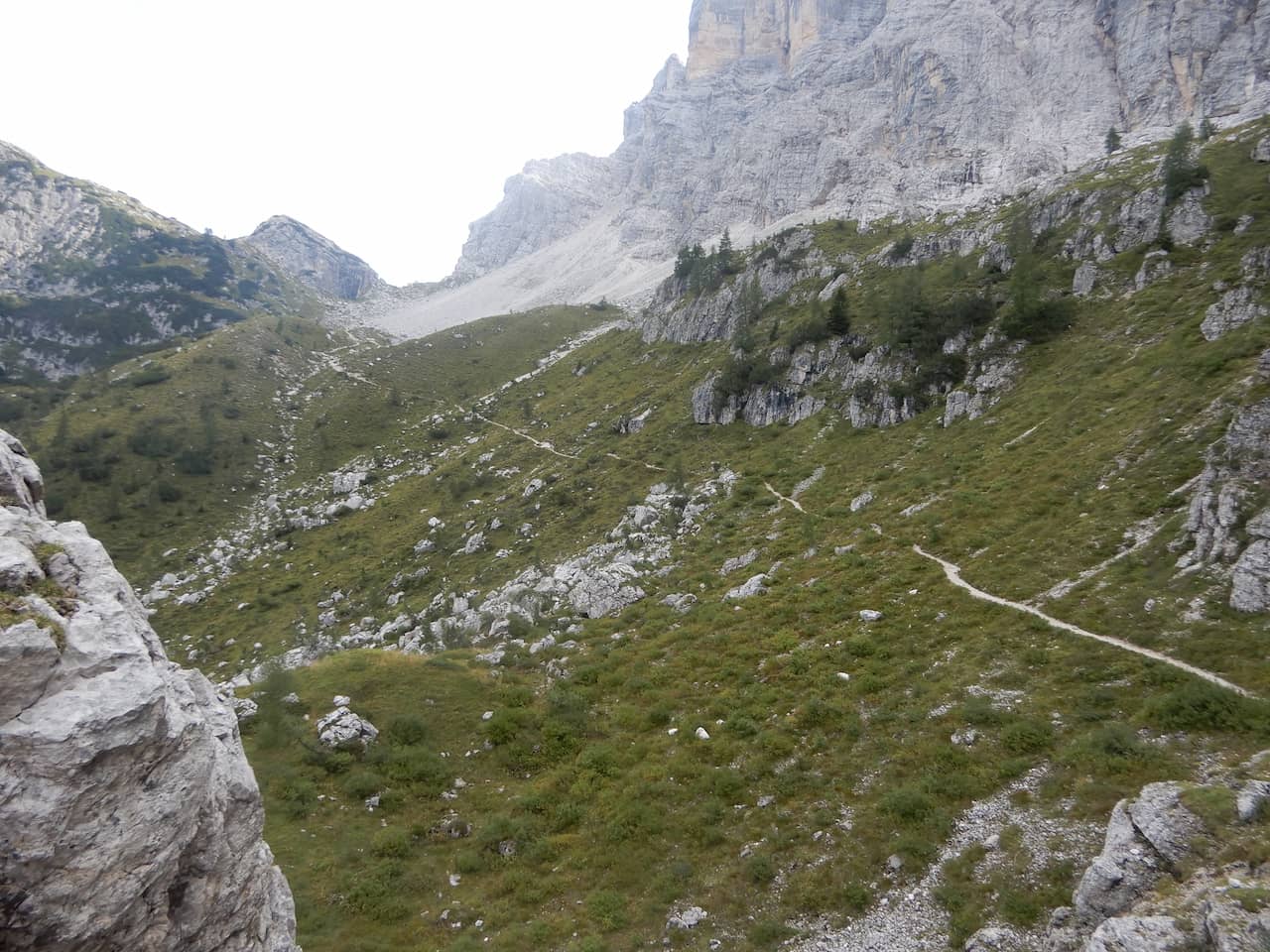
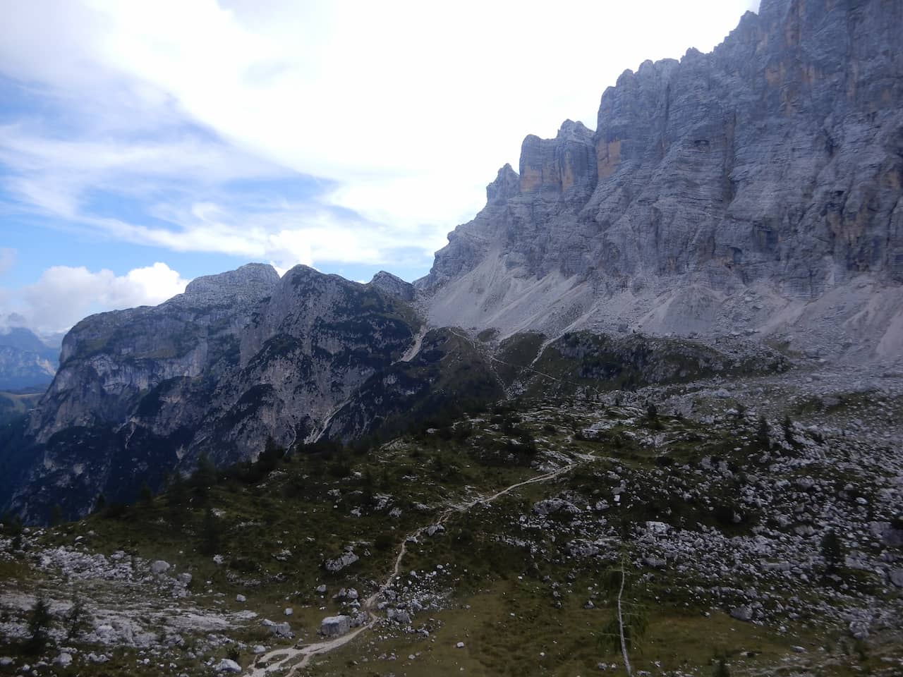
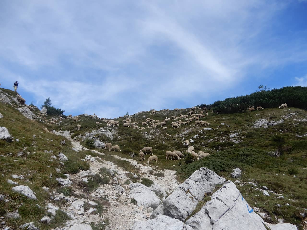
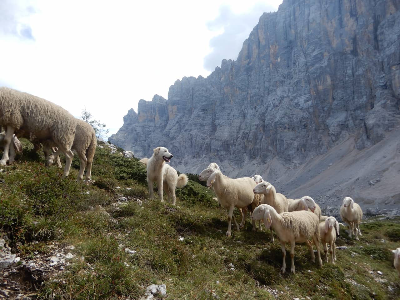
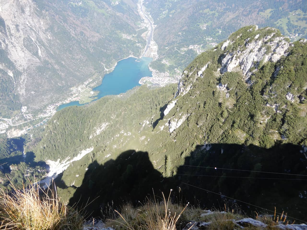
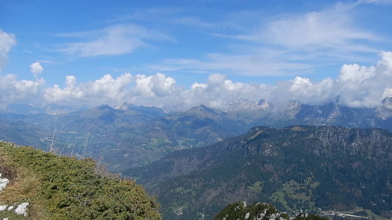
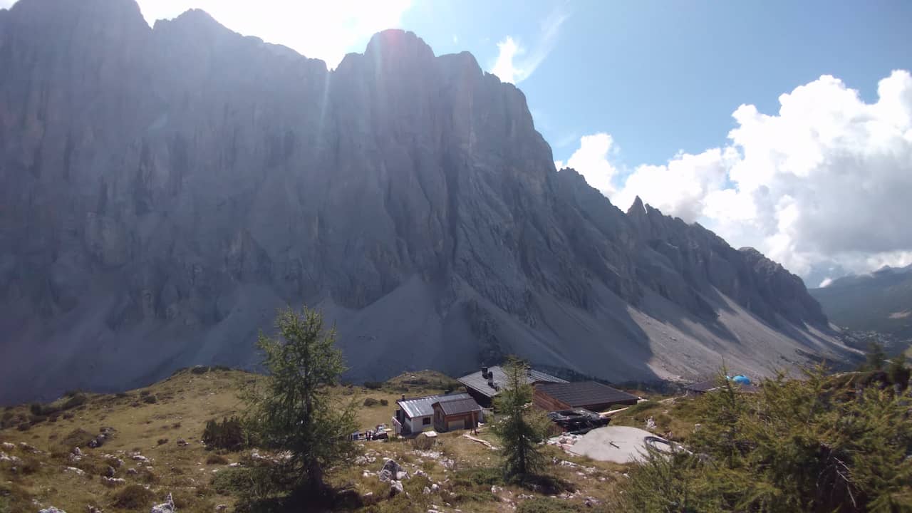
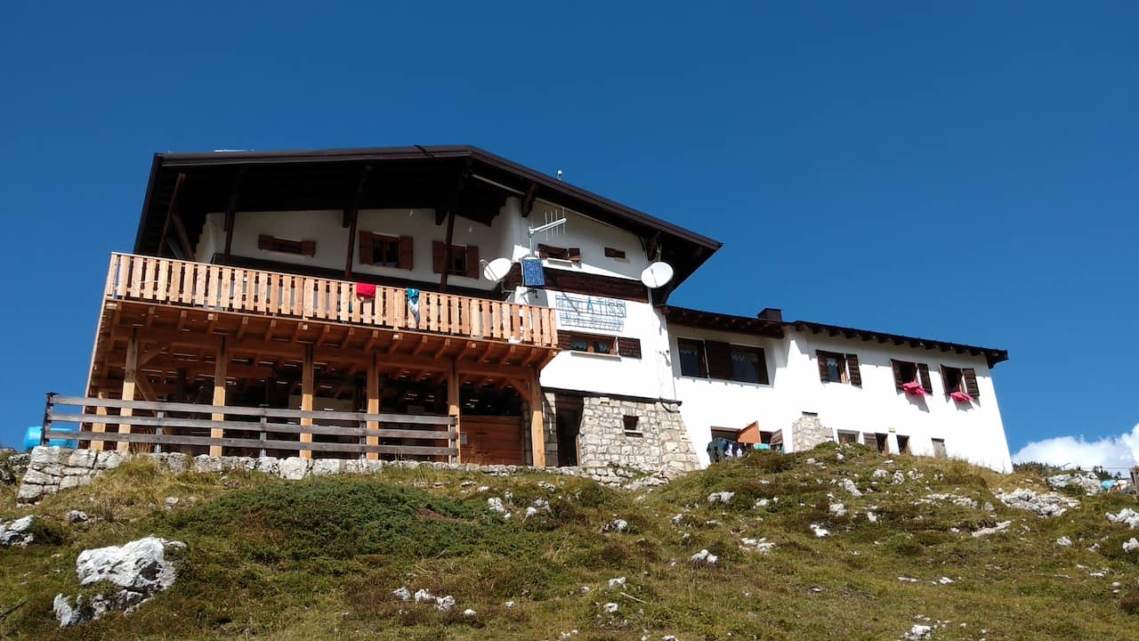
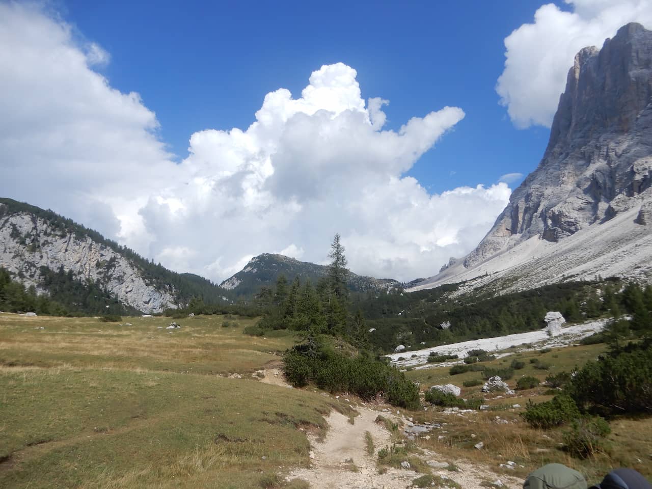
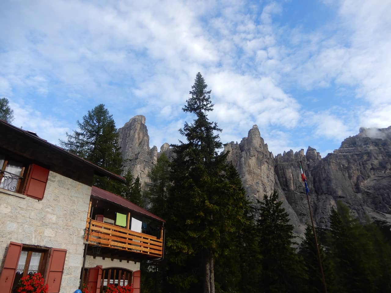
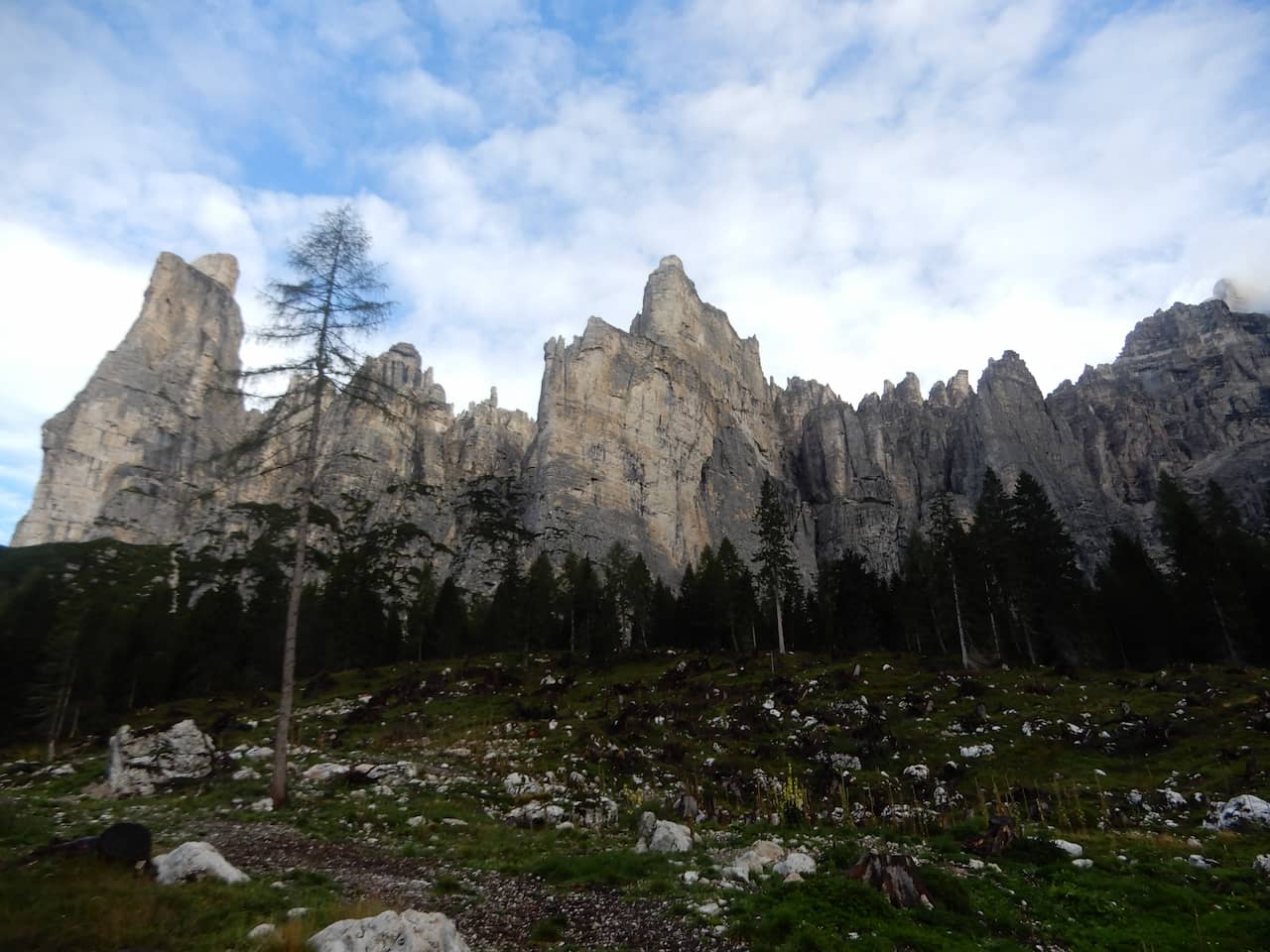
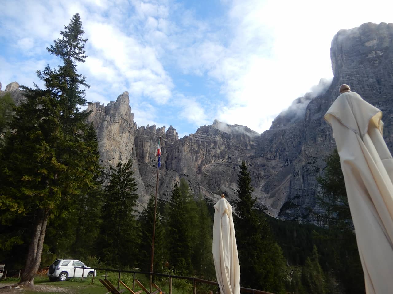
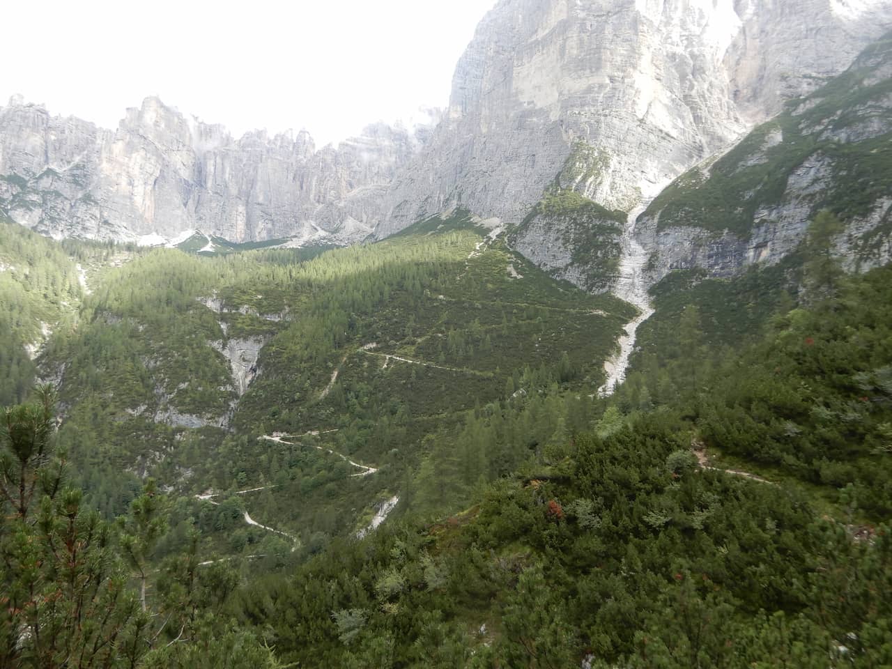
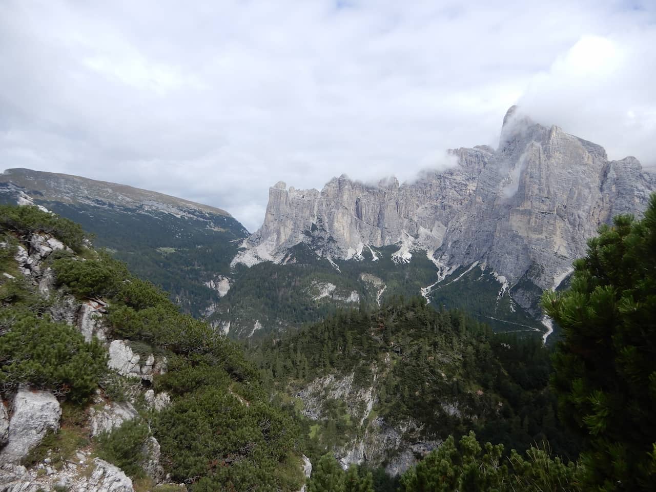
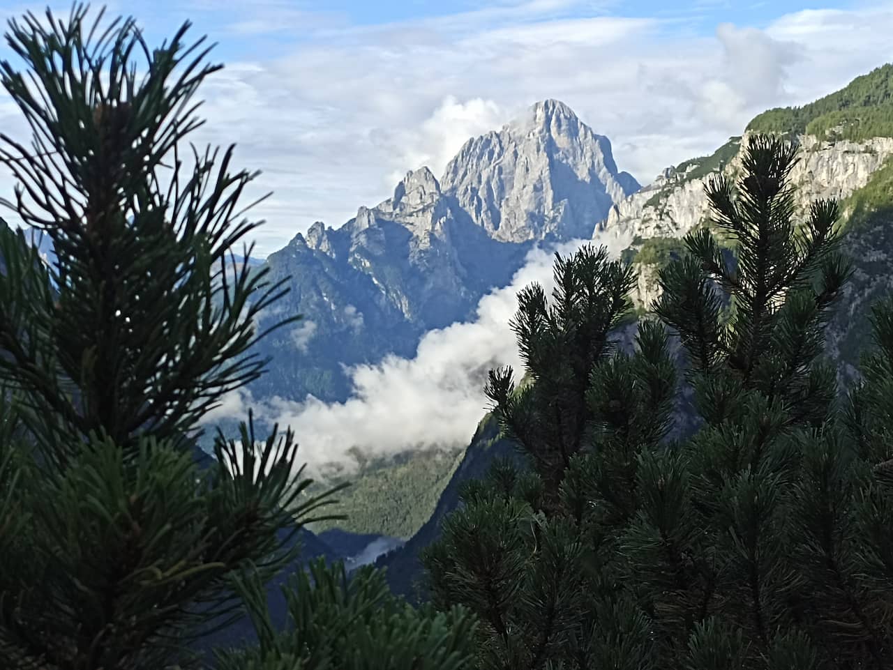
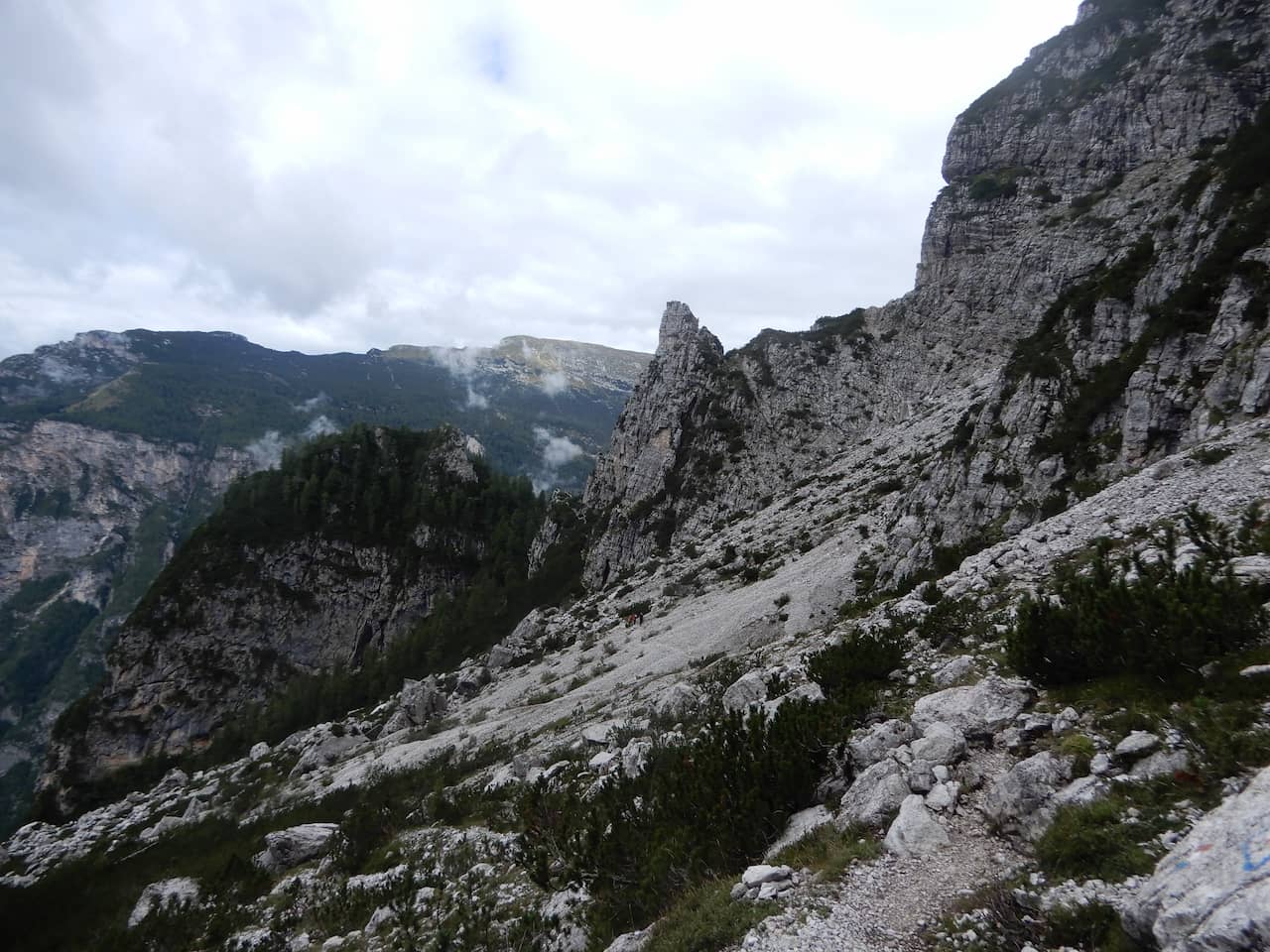
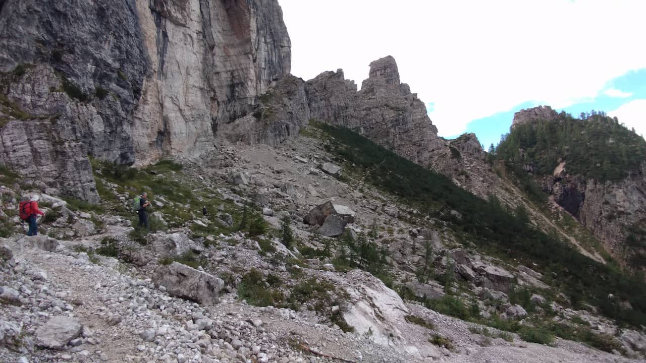
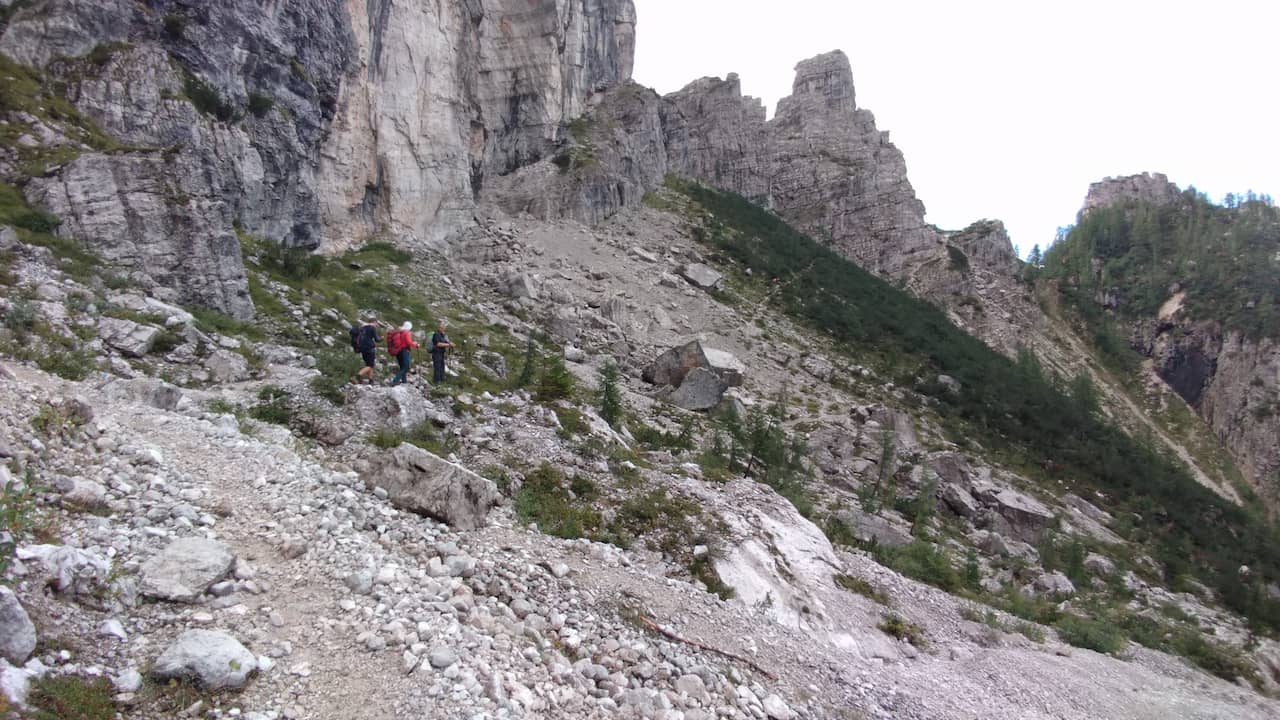
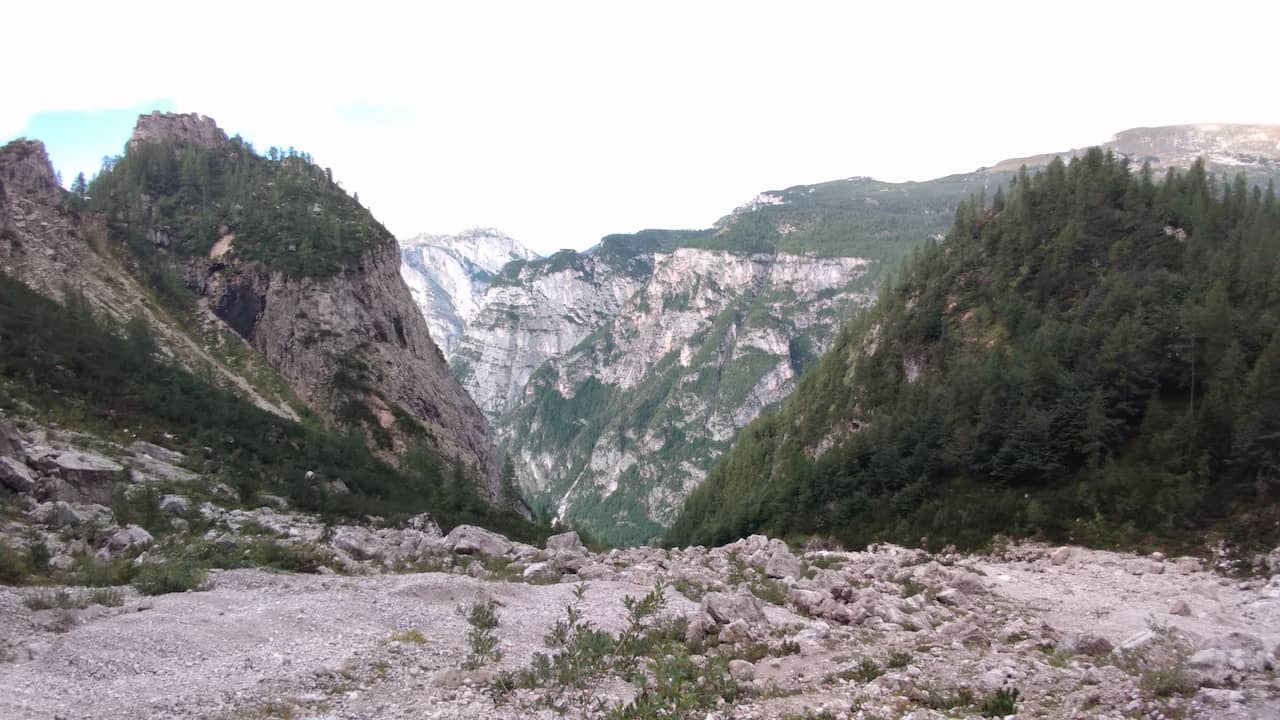
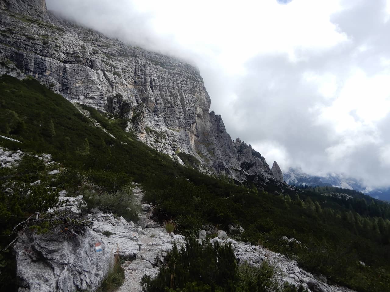
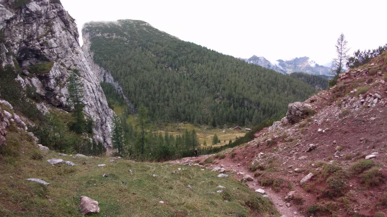
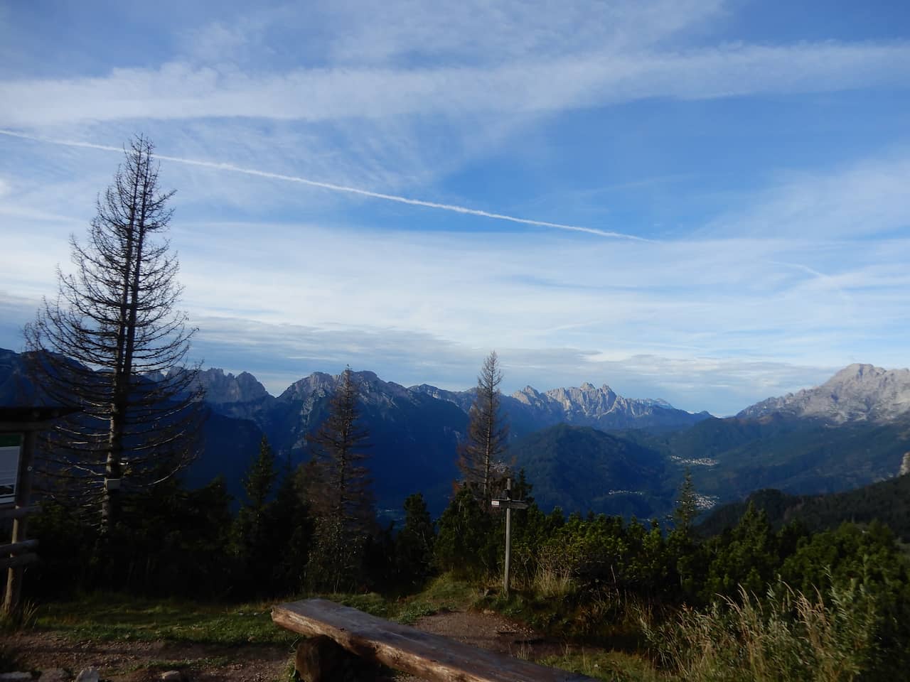
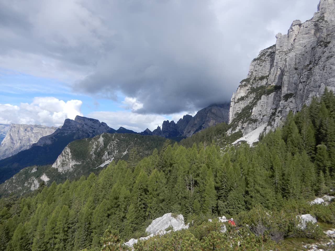
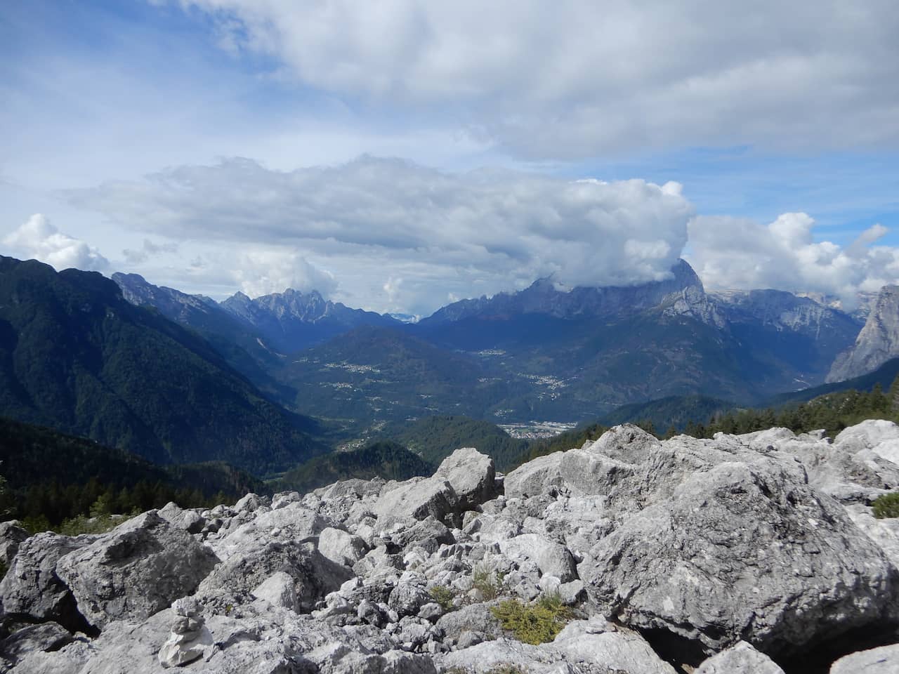
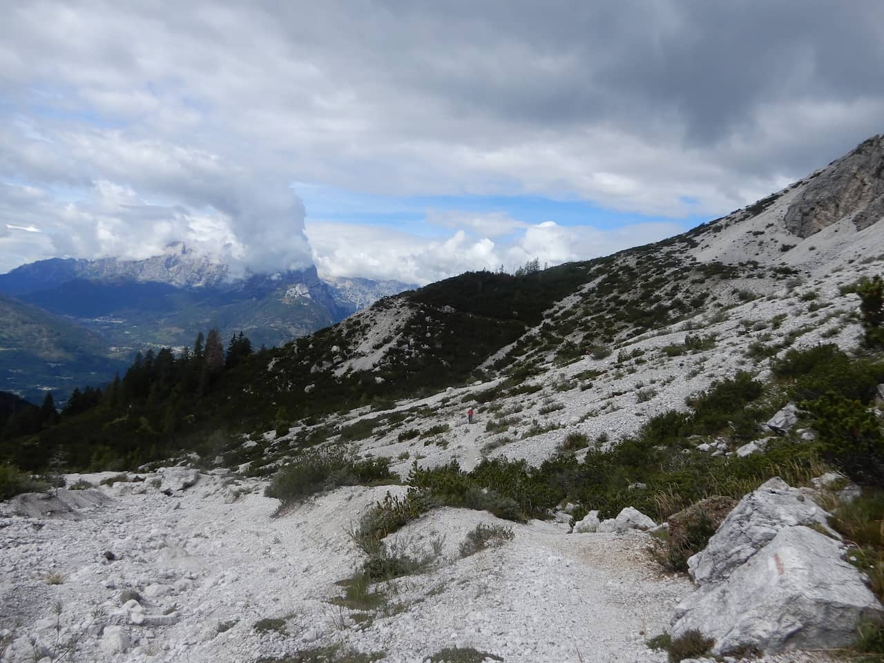
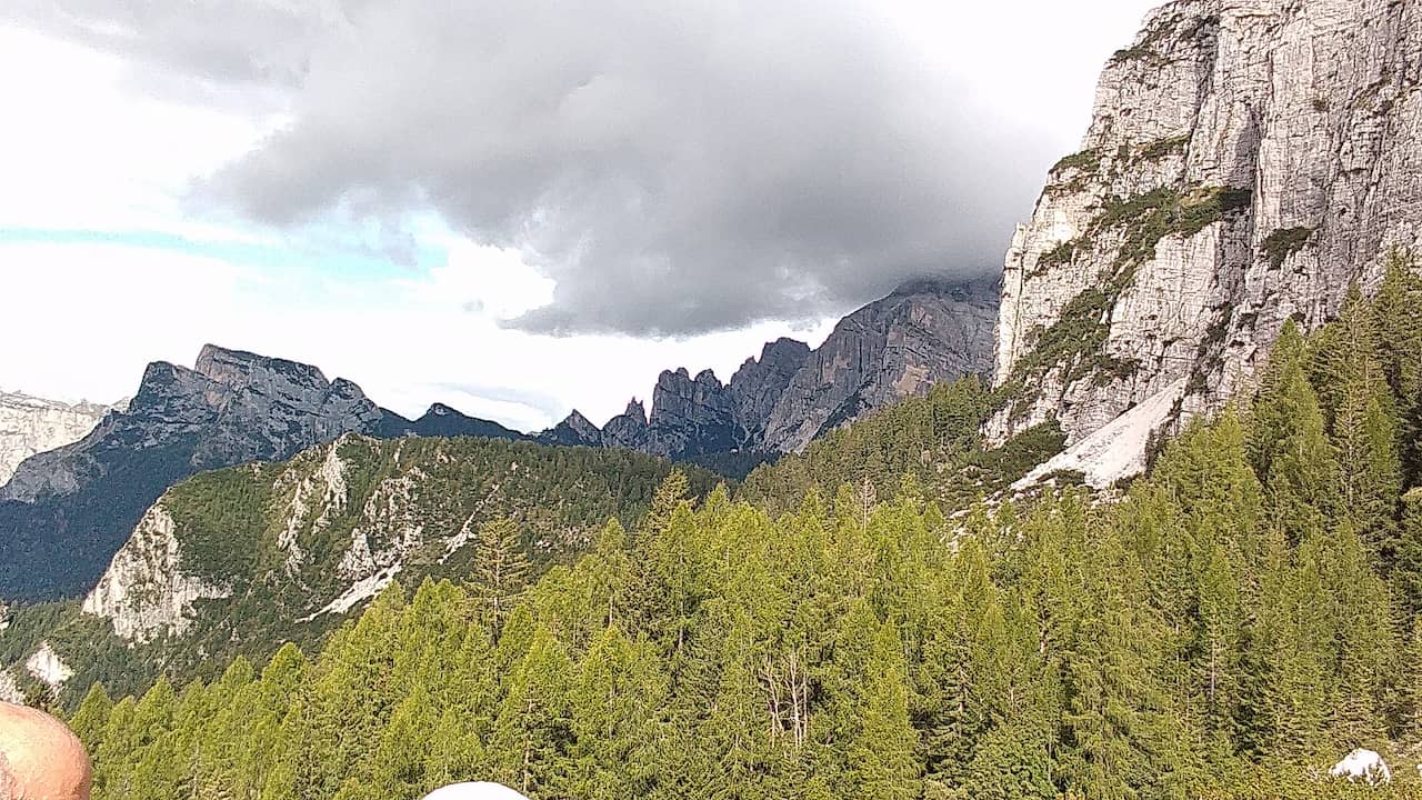
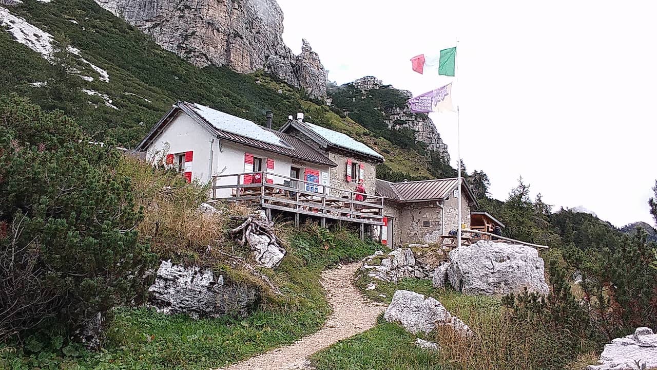
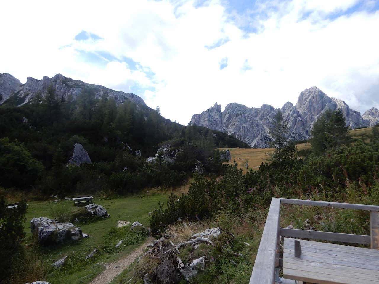
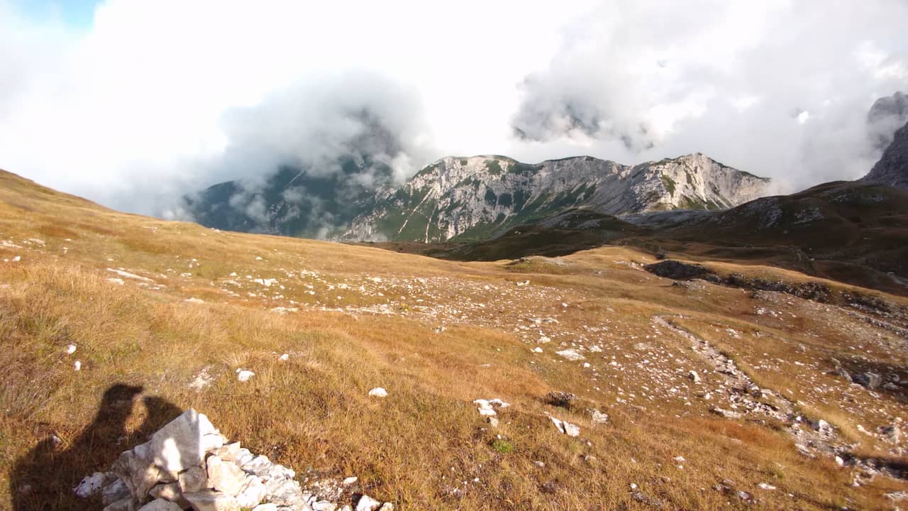
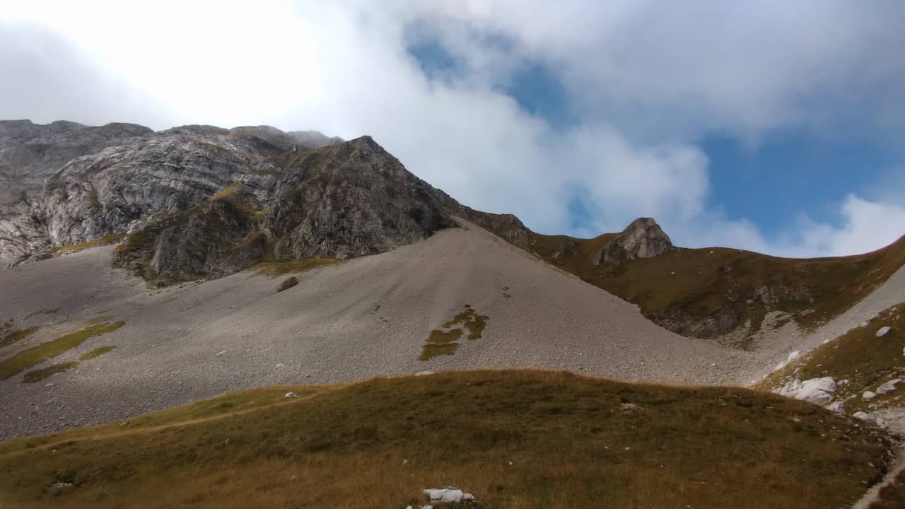
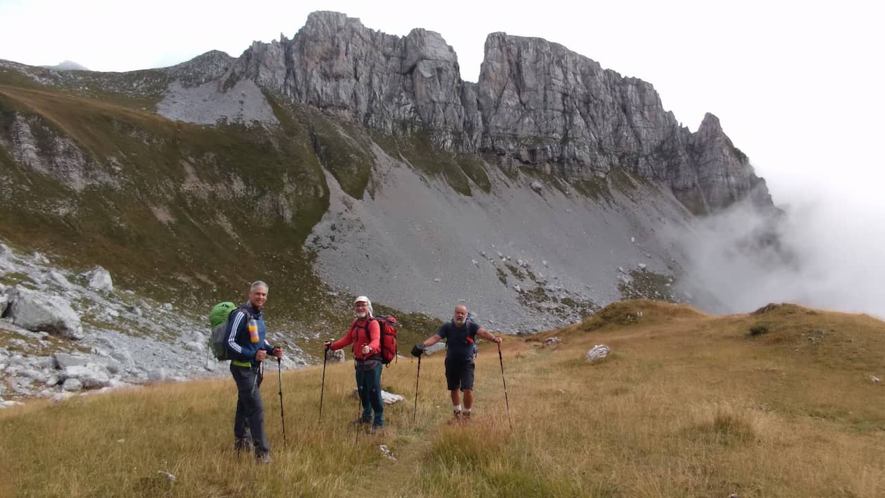
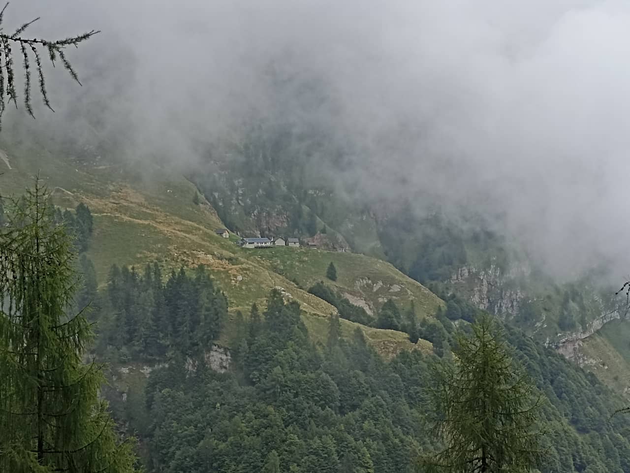
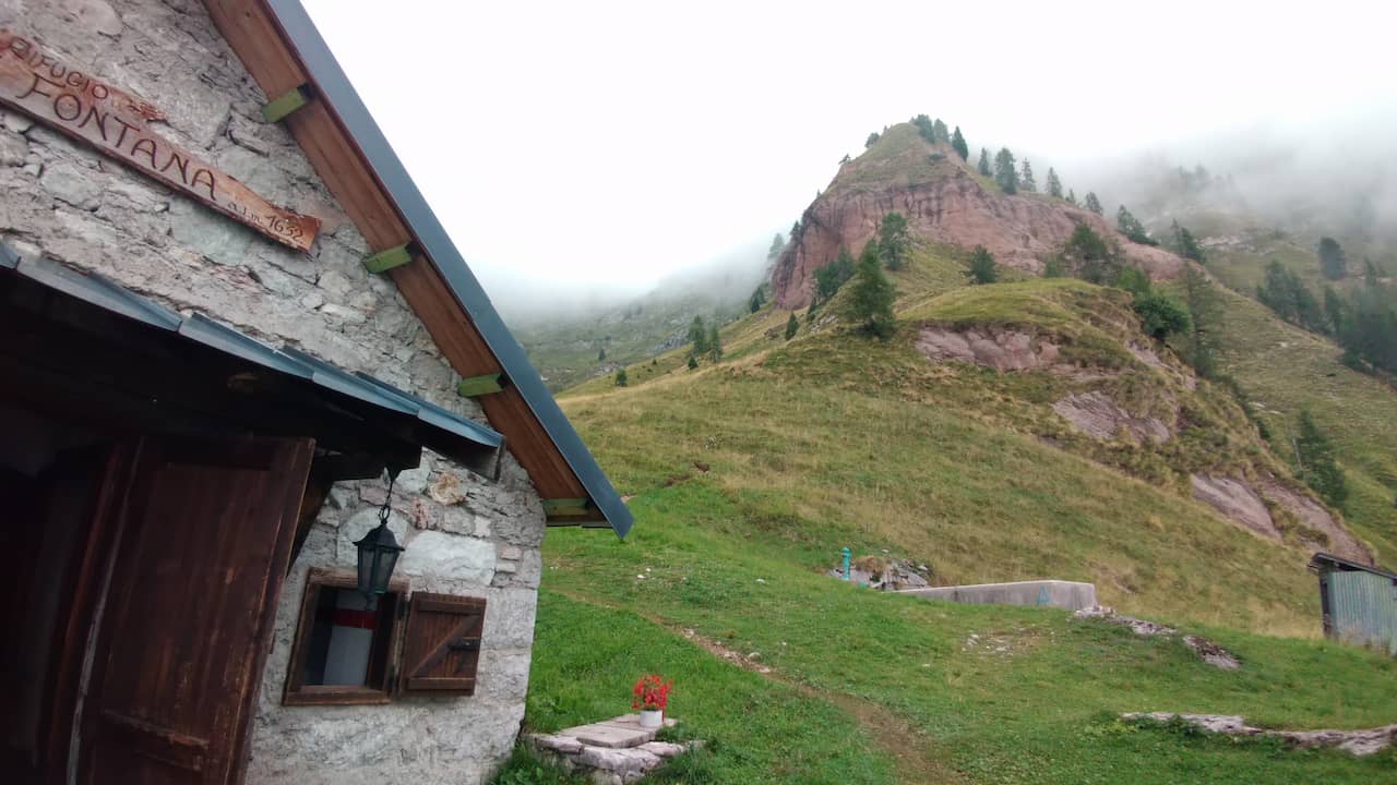
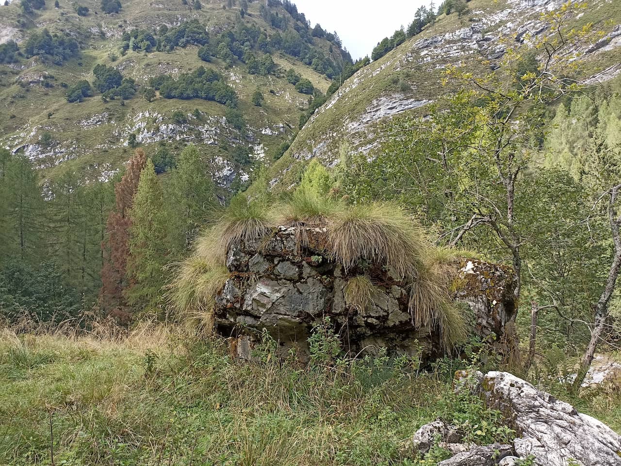
The Alta Via 1 starts at Lago di Braies and ends in Belluno, with a length of 100 to 130 km depending on the variants you choose. During the route, you will admire the Lagazuoi massif, Mount Marmolada, Cinque Torri and many others. It is a challenging trail, but with comfortable mountain huts.
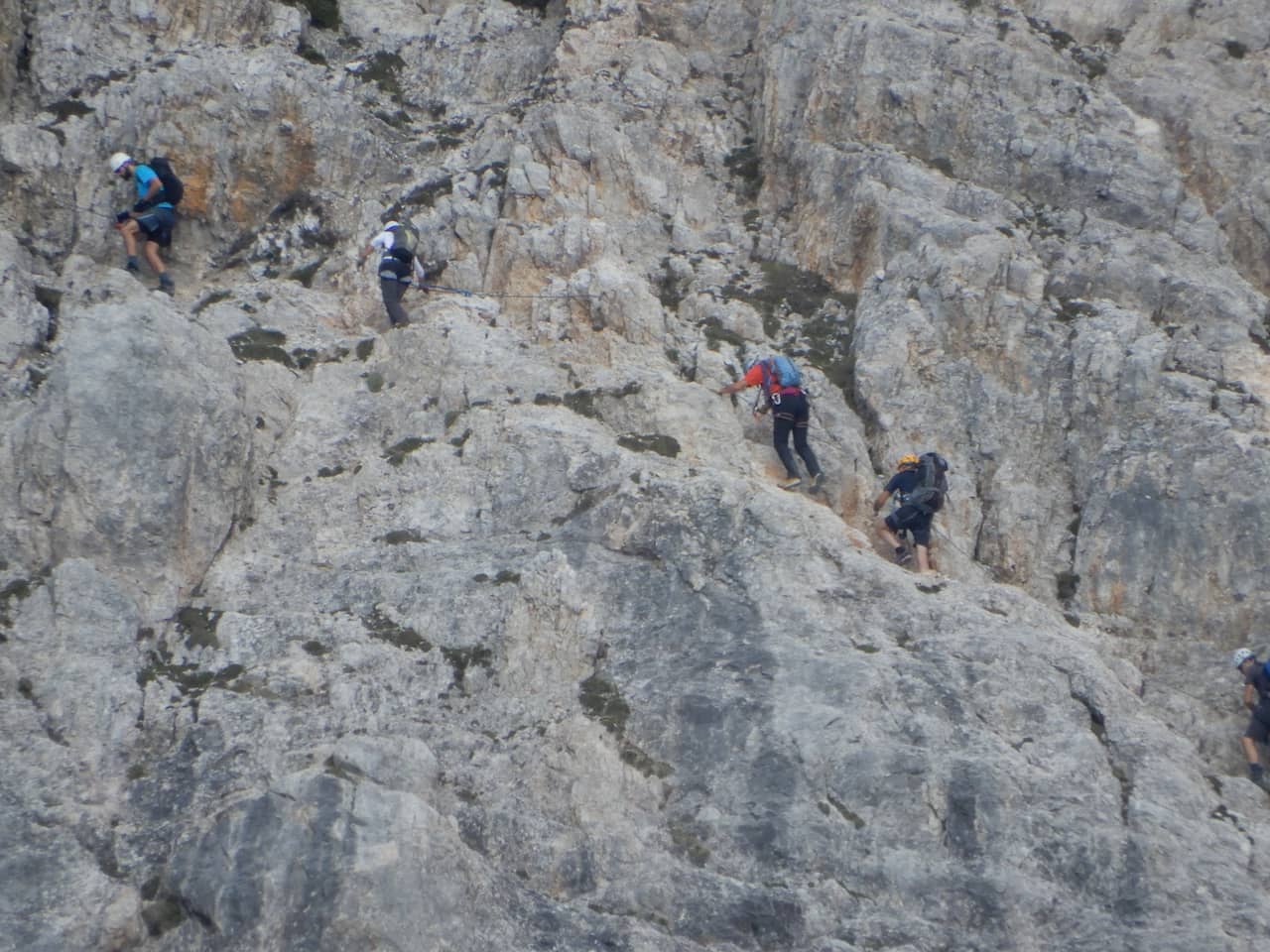
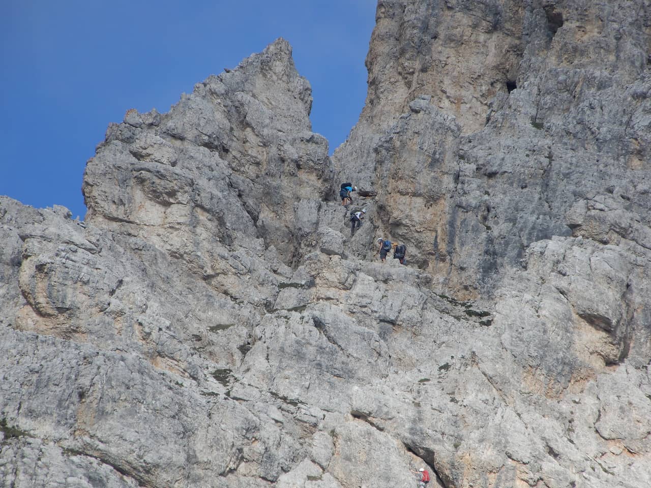
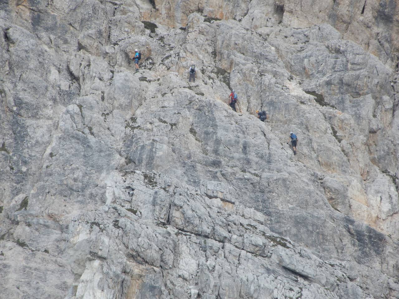
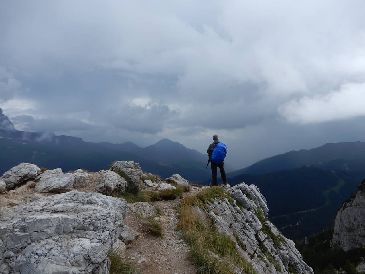
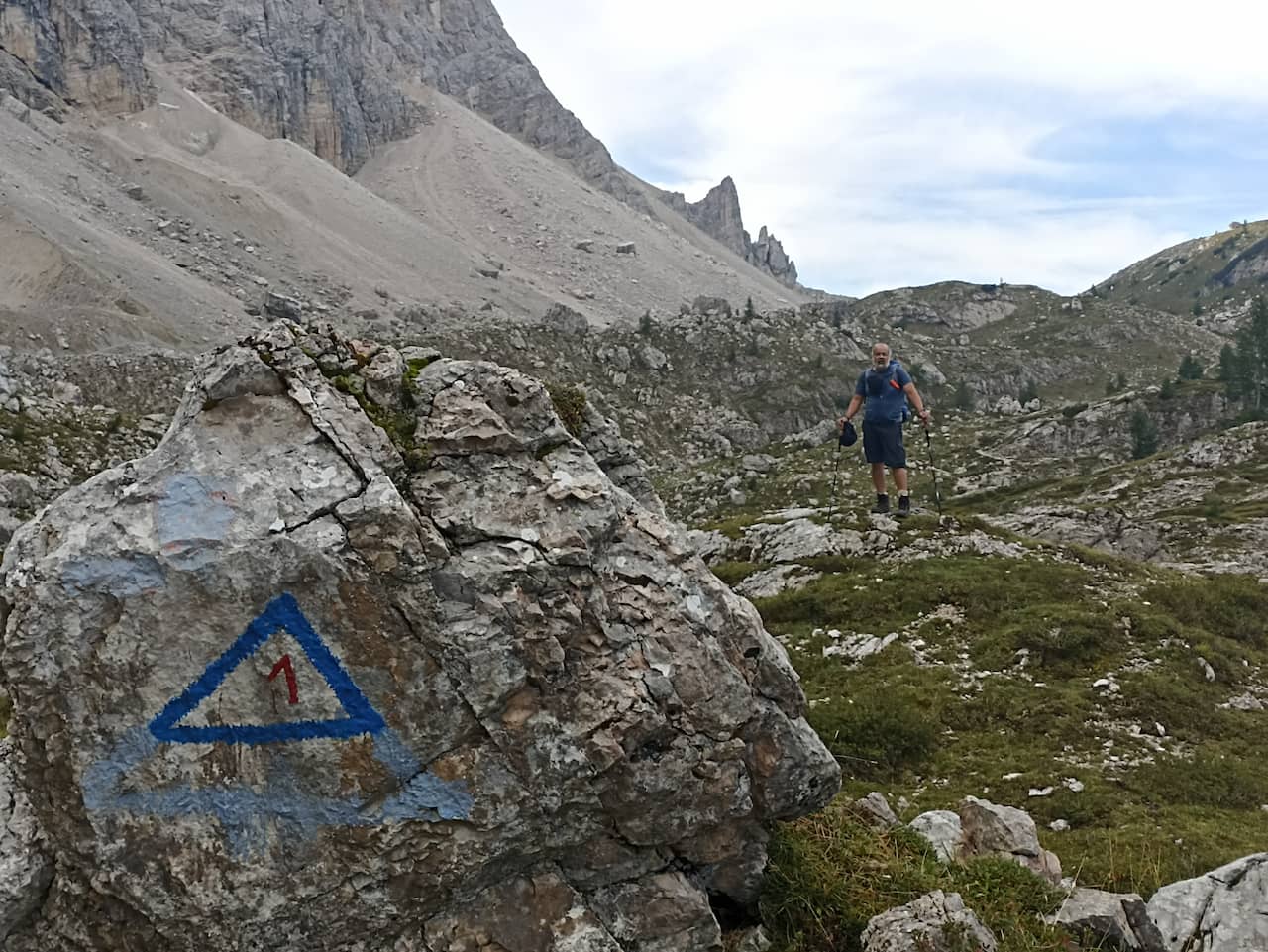
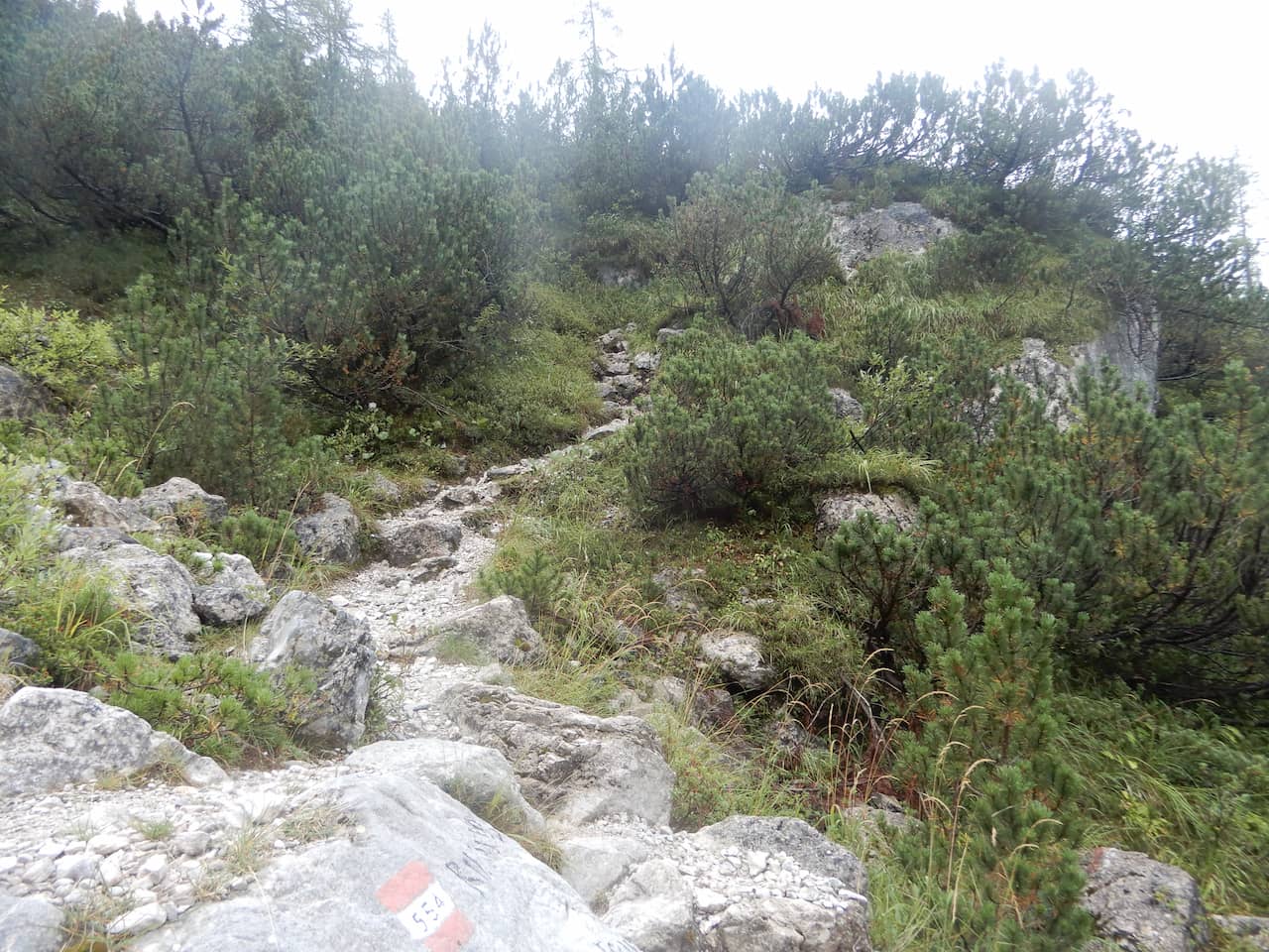
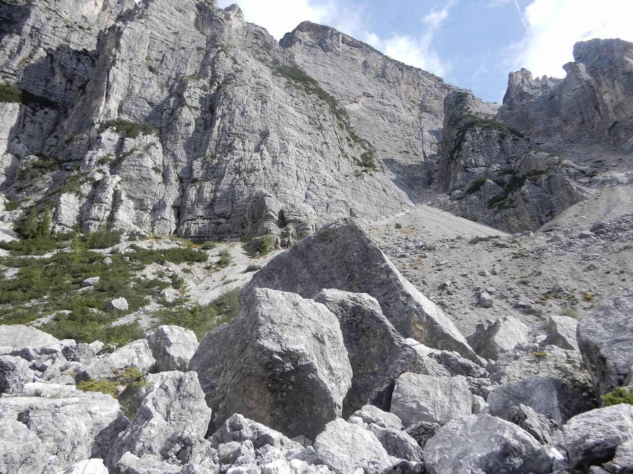
There are many variants with varying degrees of difficulty. The most difficult are those with via ferratas.
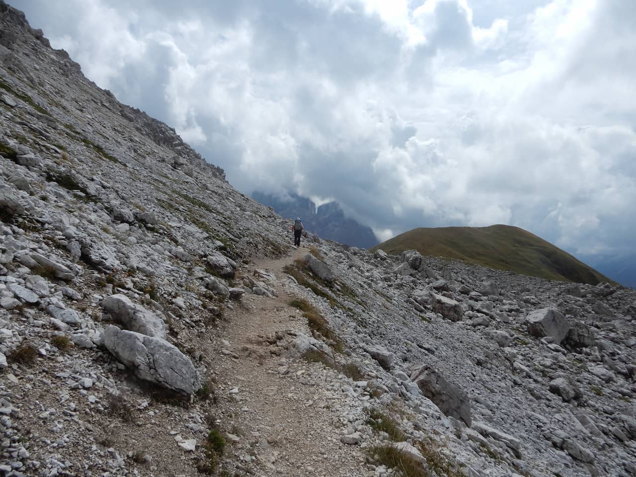
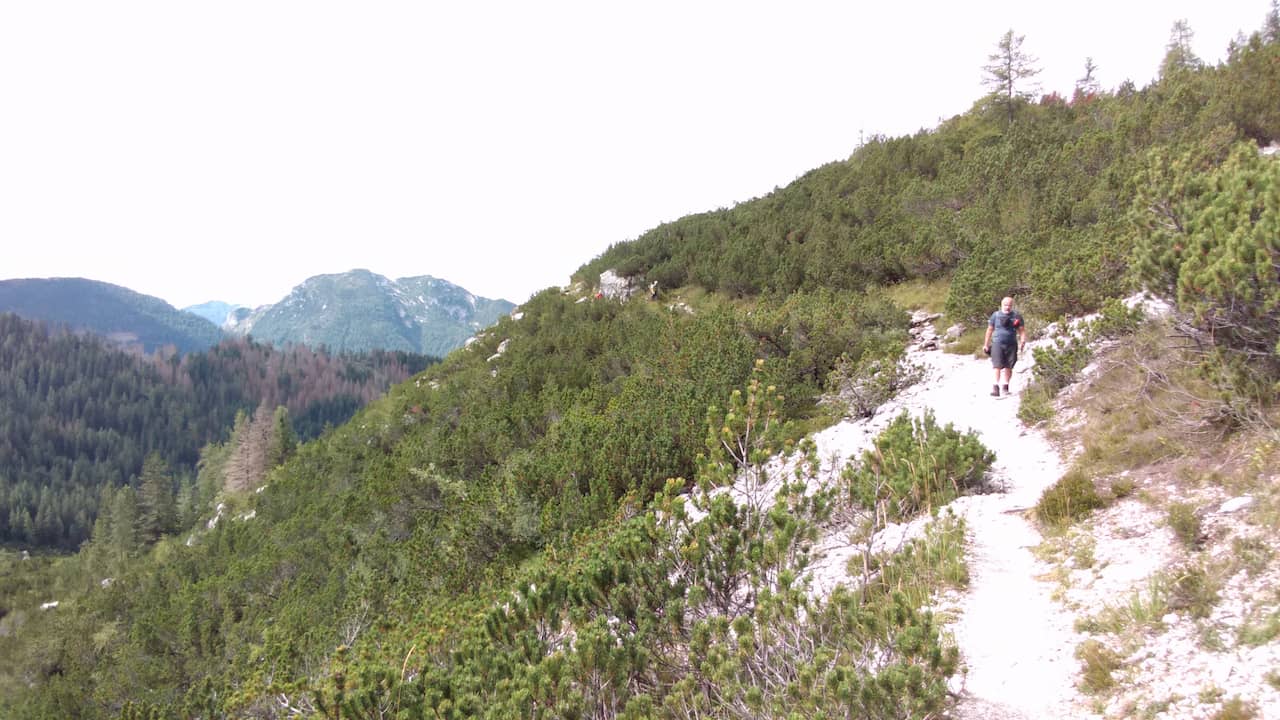
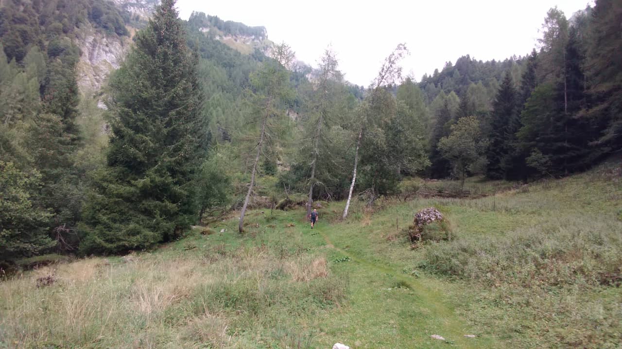
The Alta Via 1 is, above all, a hike, without glaciers or climbing. Some sections with via ferratas are more difficult but can be avoided by using a variant.
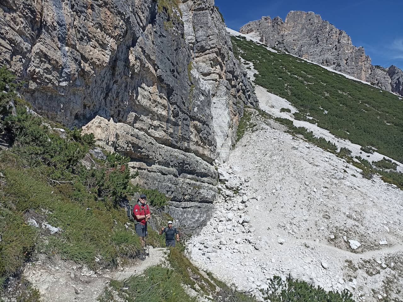
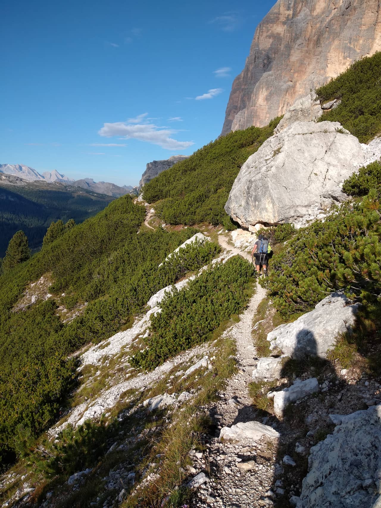
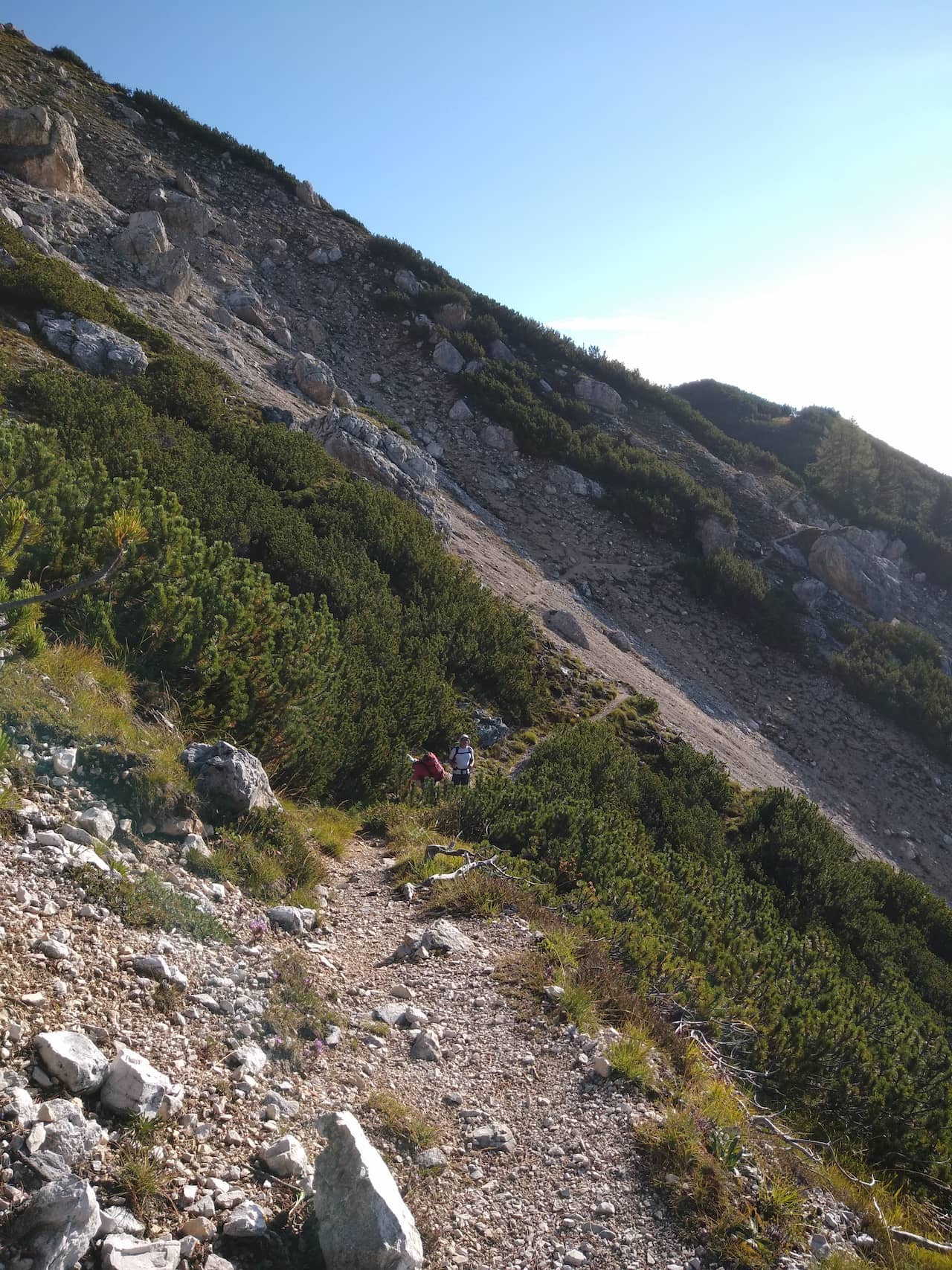
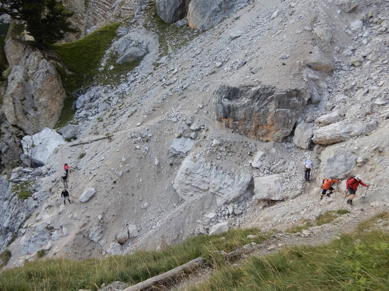
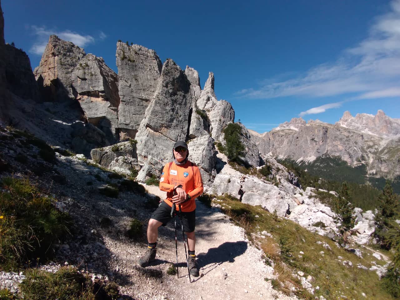
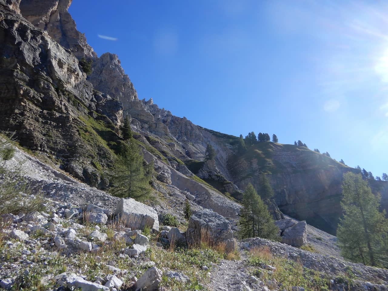
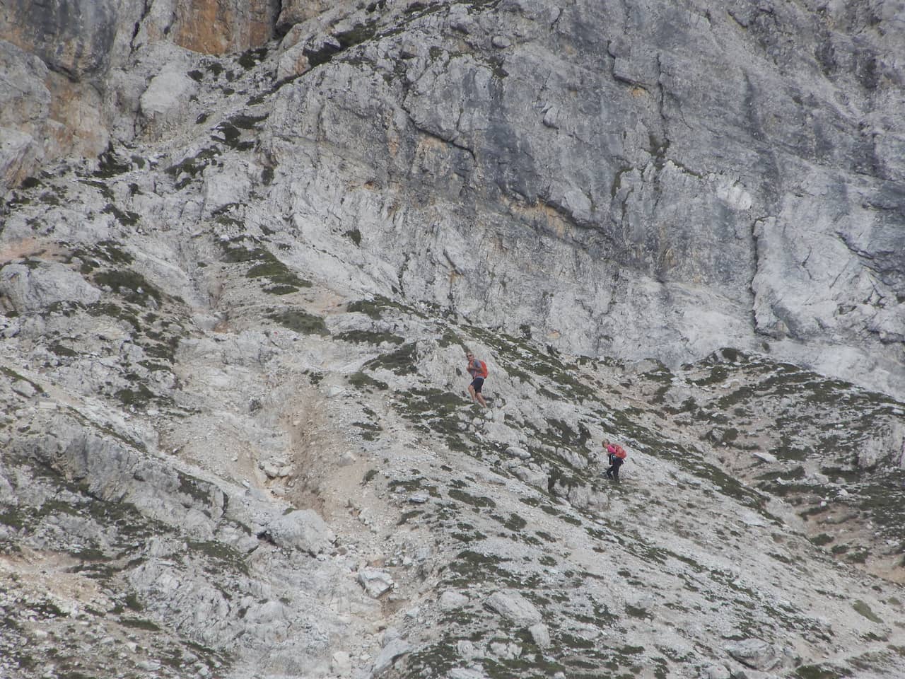
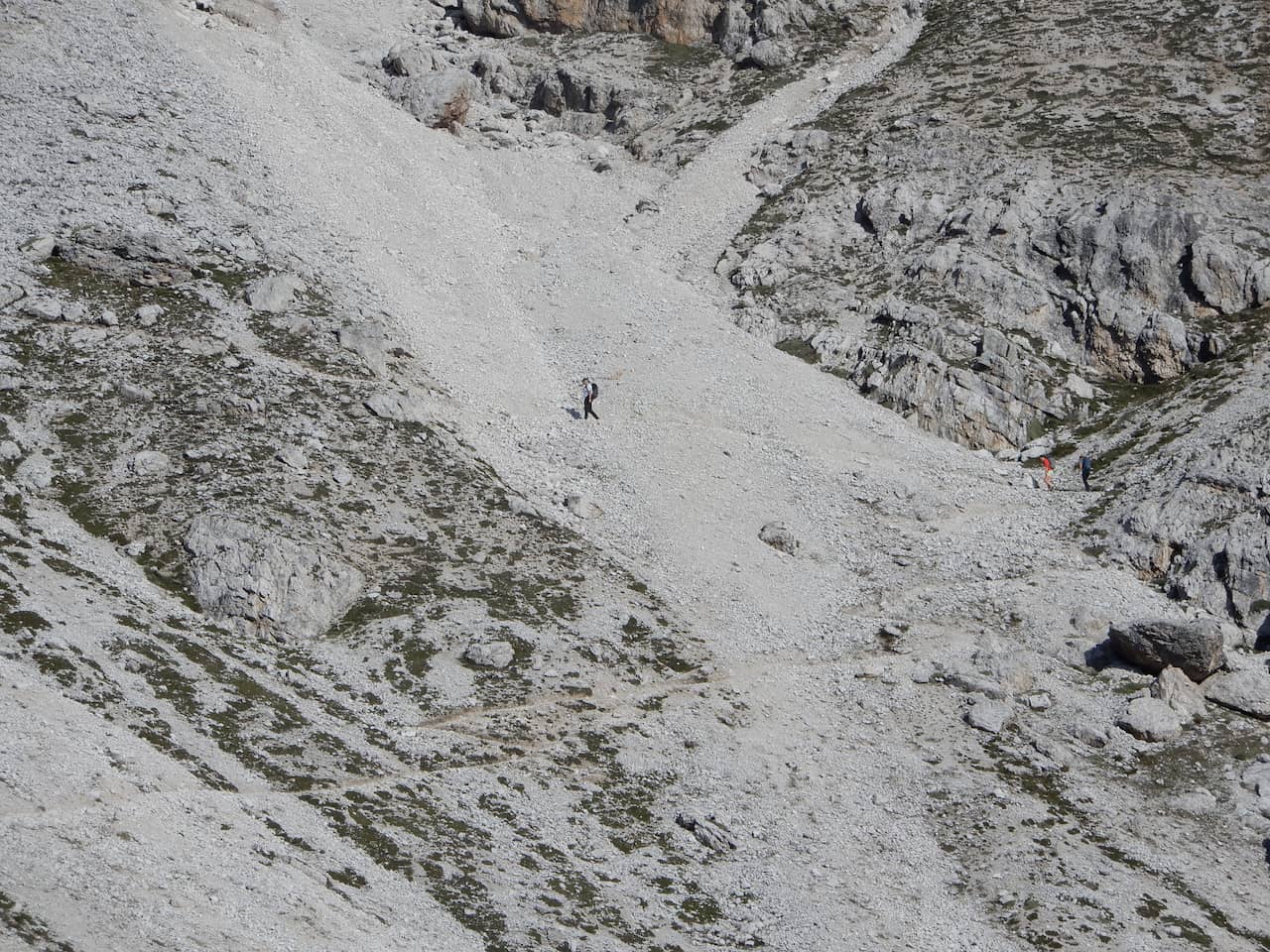
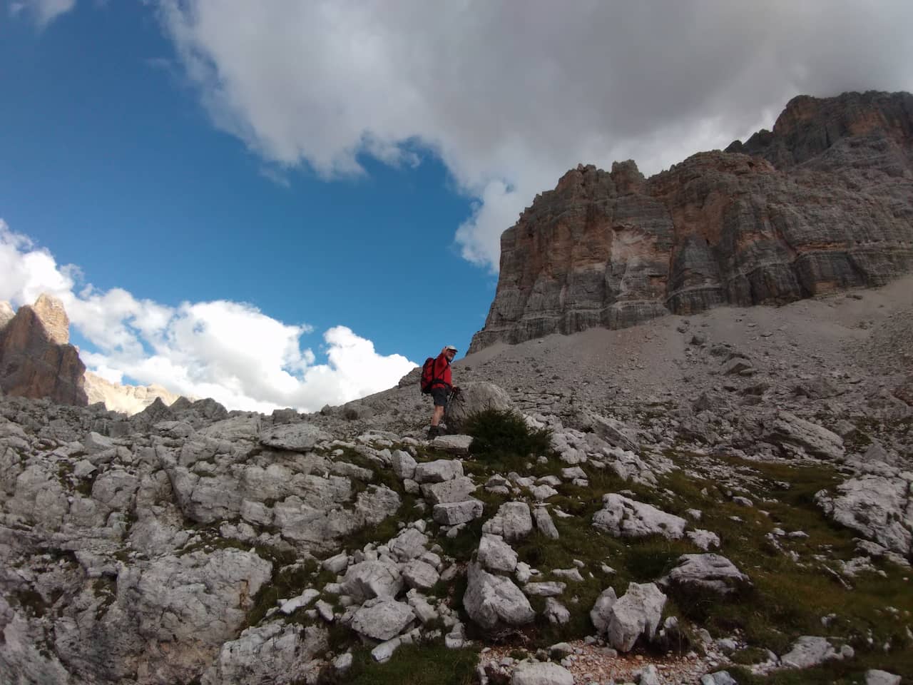
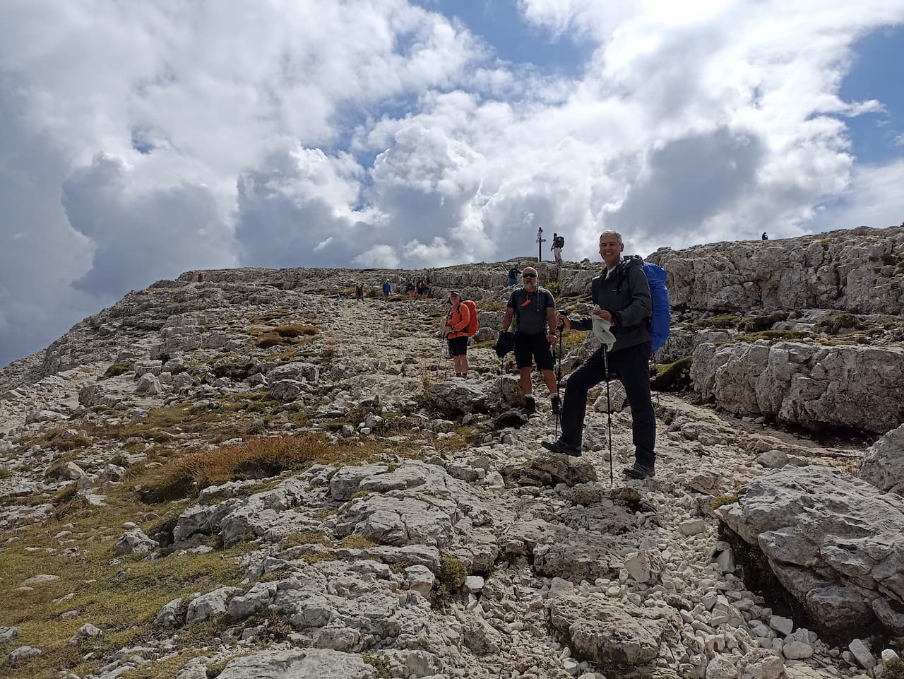
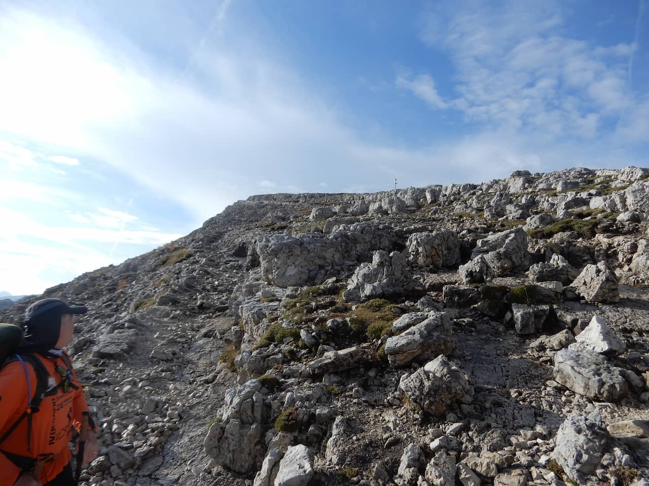
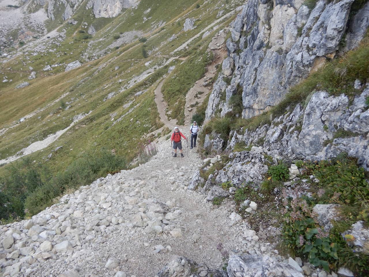
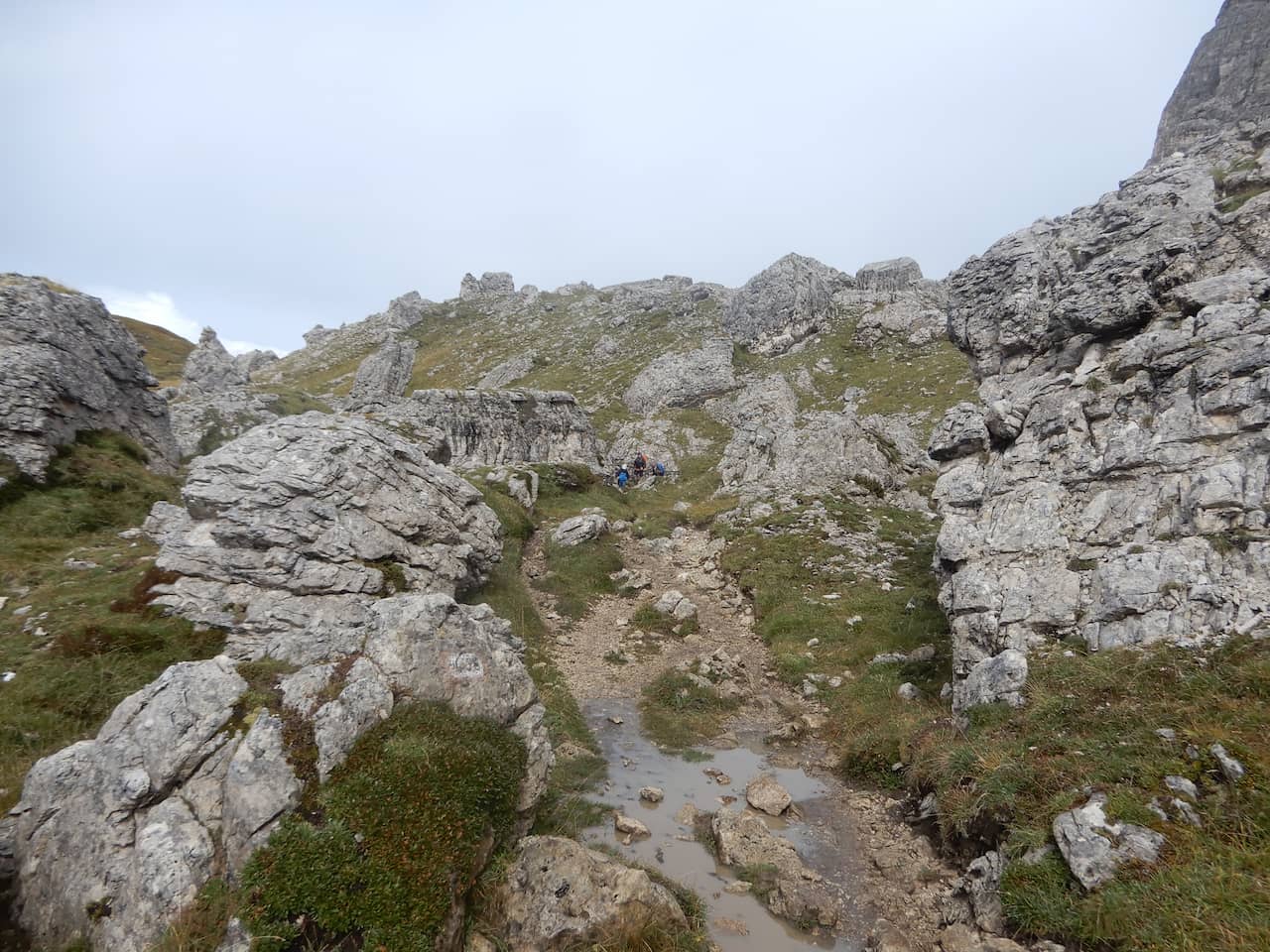
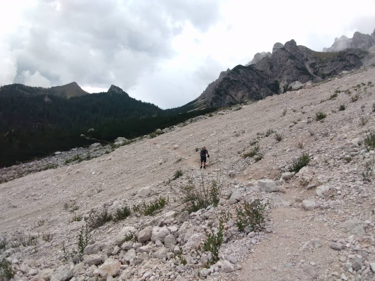
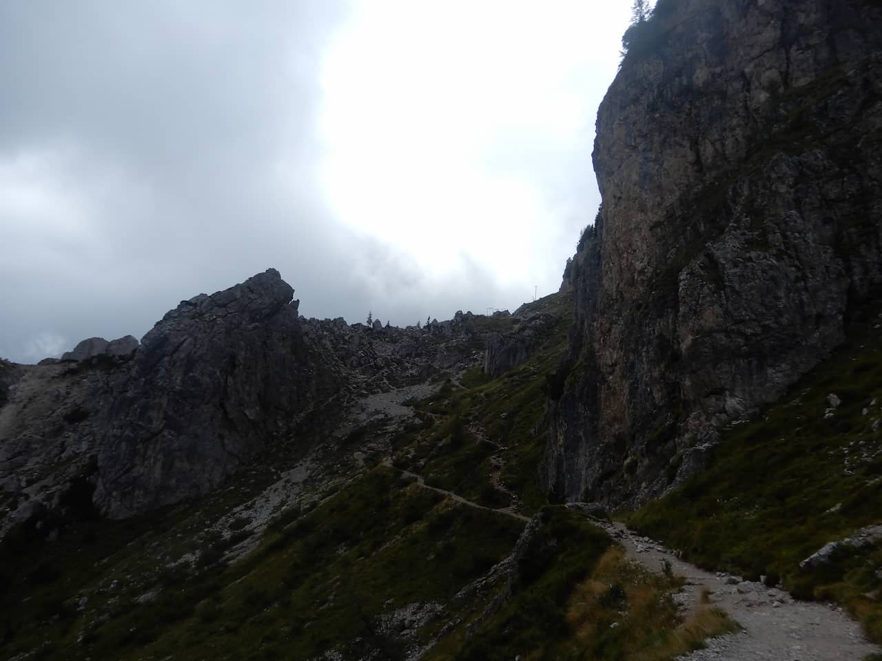
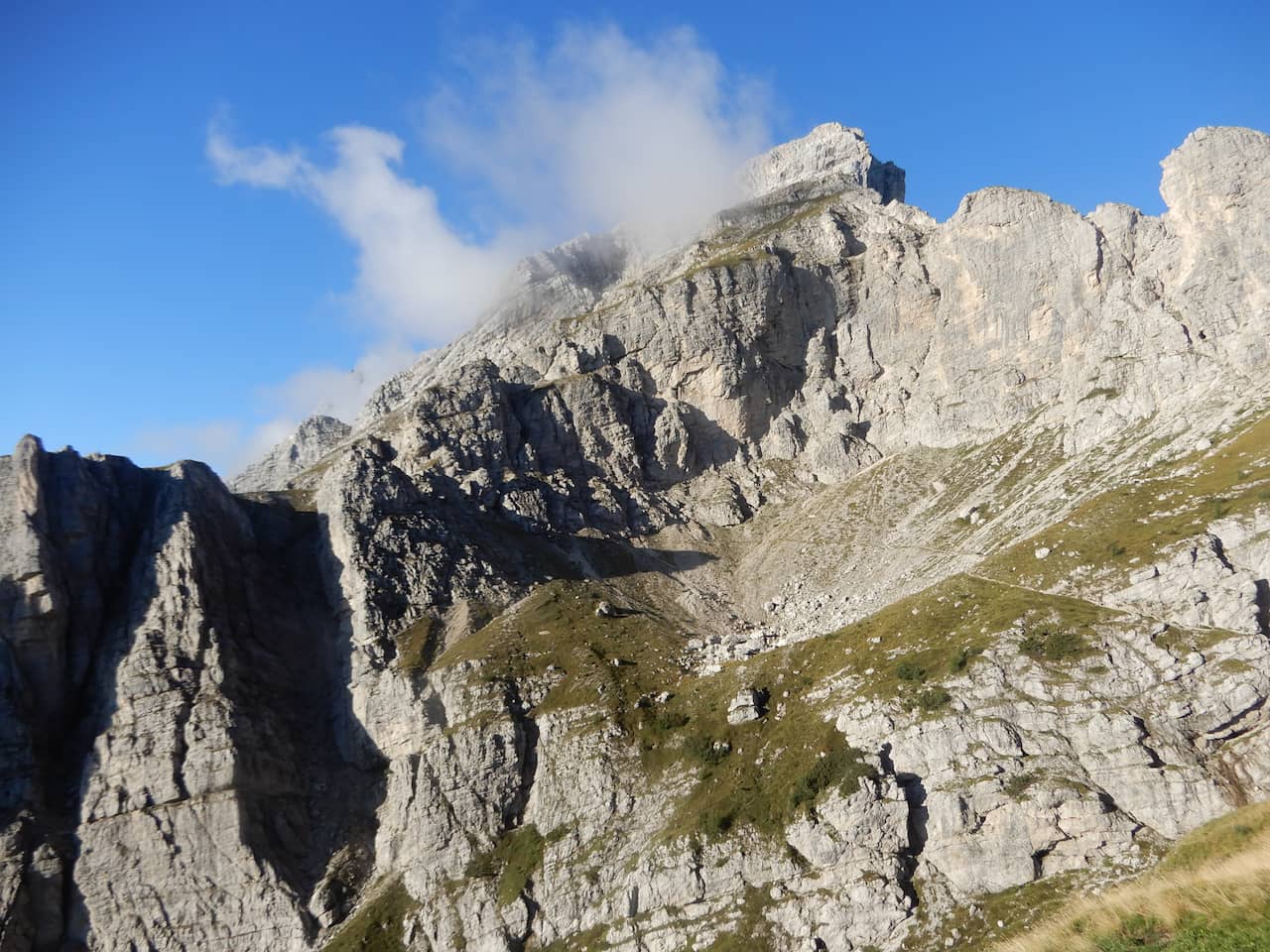
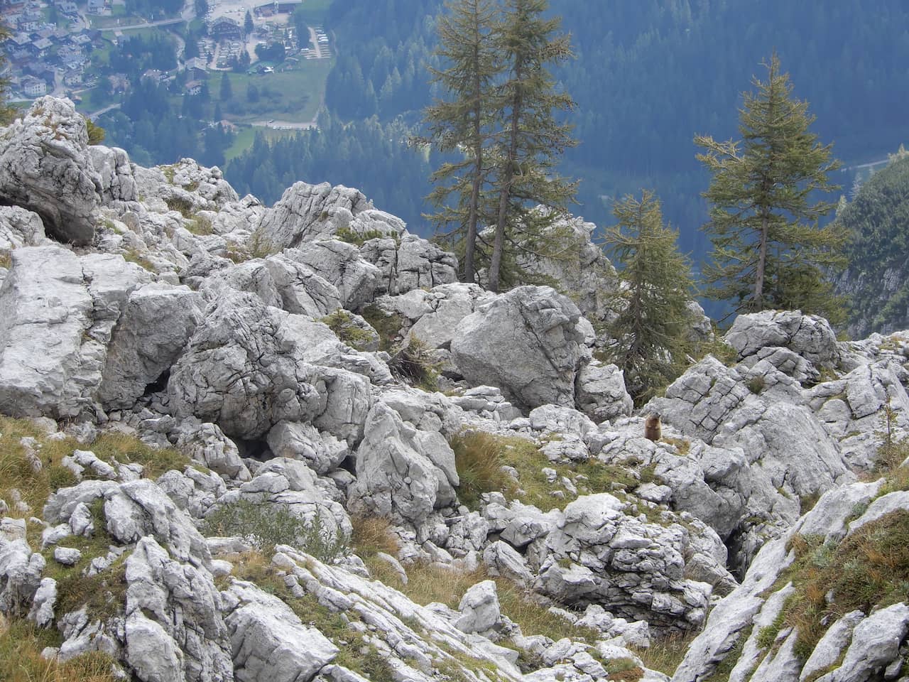
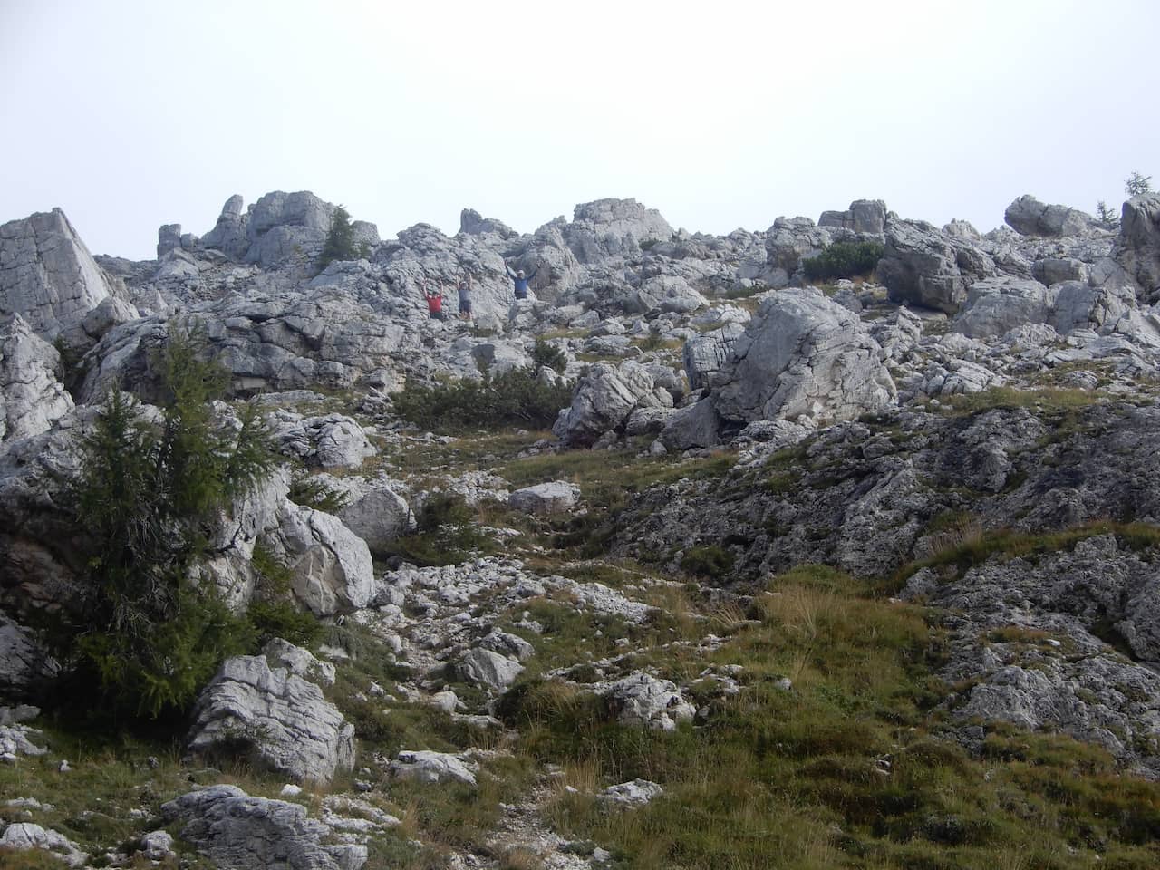
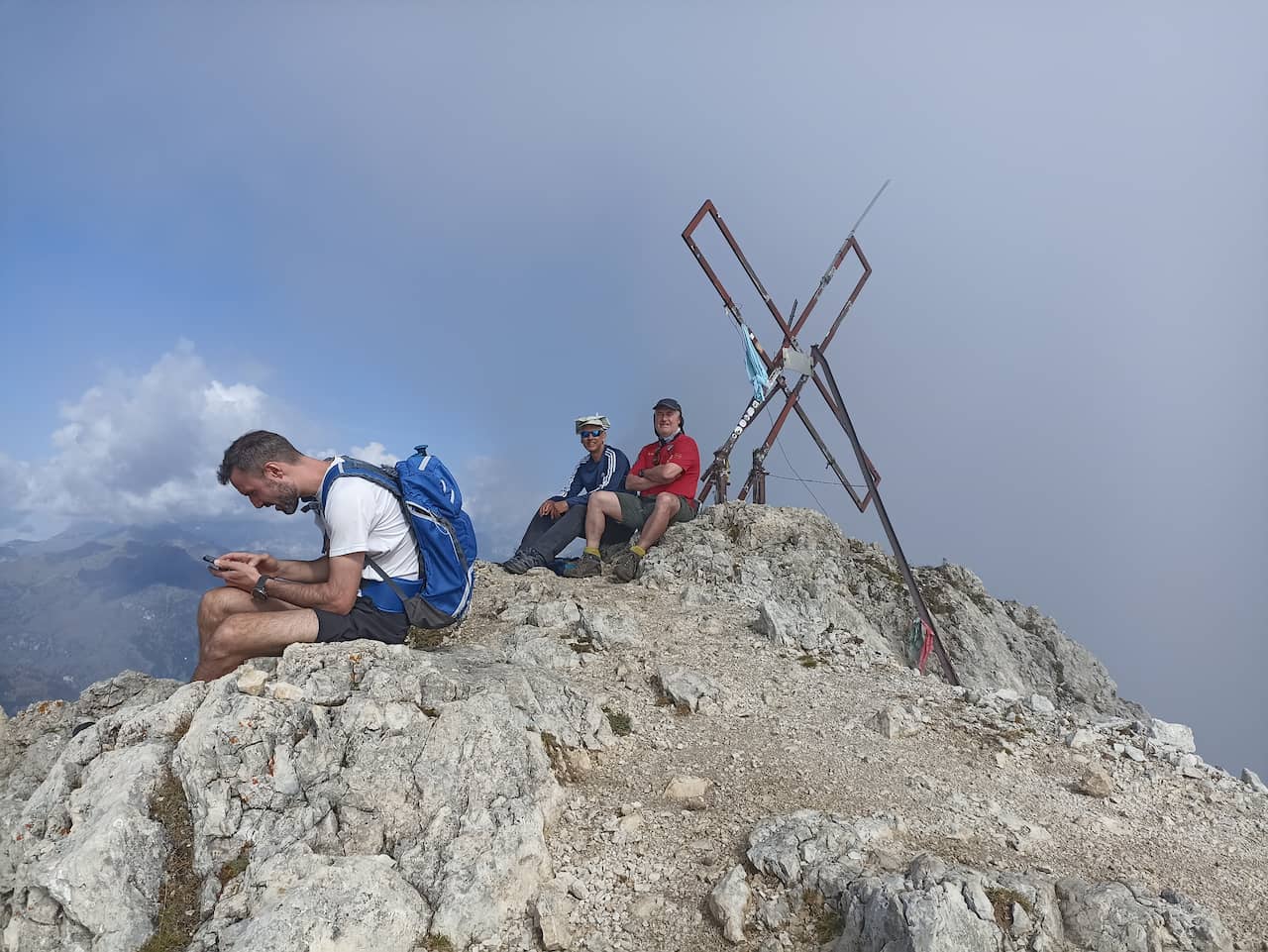
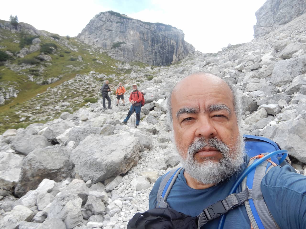
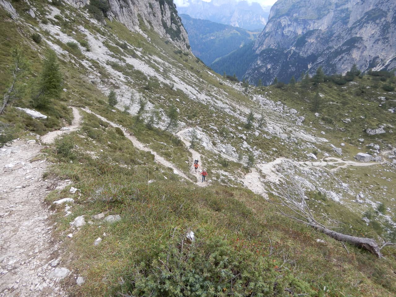
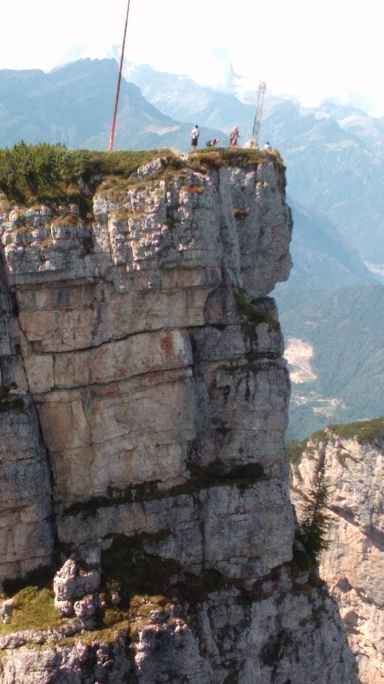
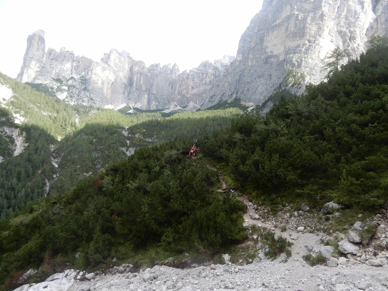
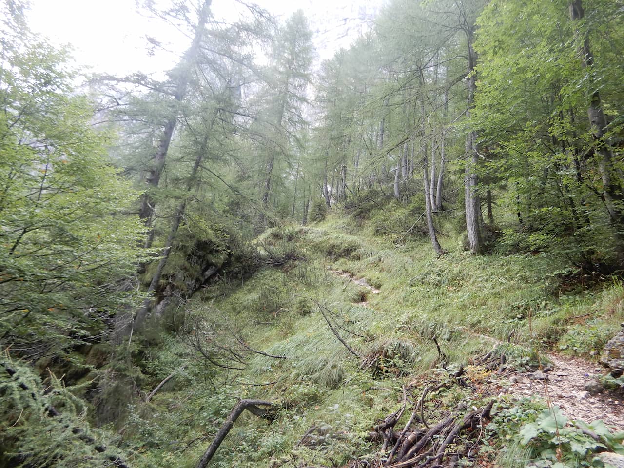
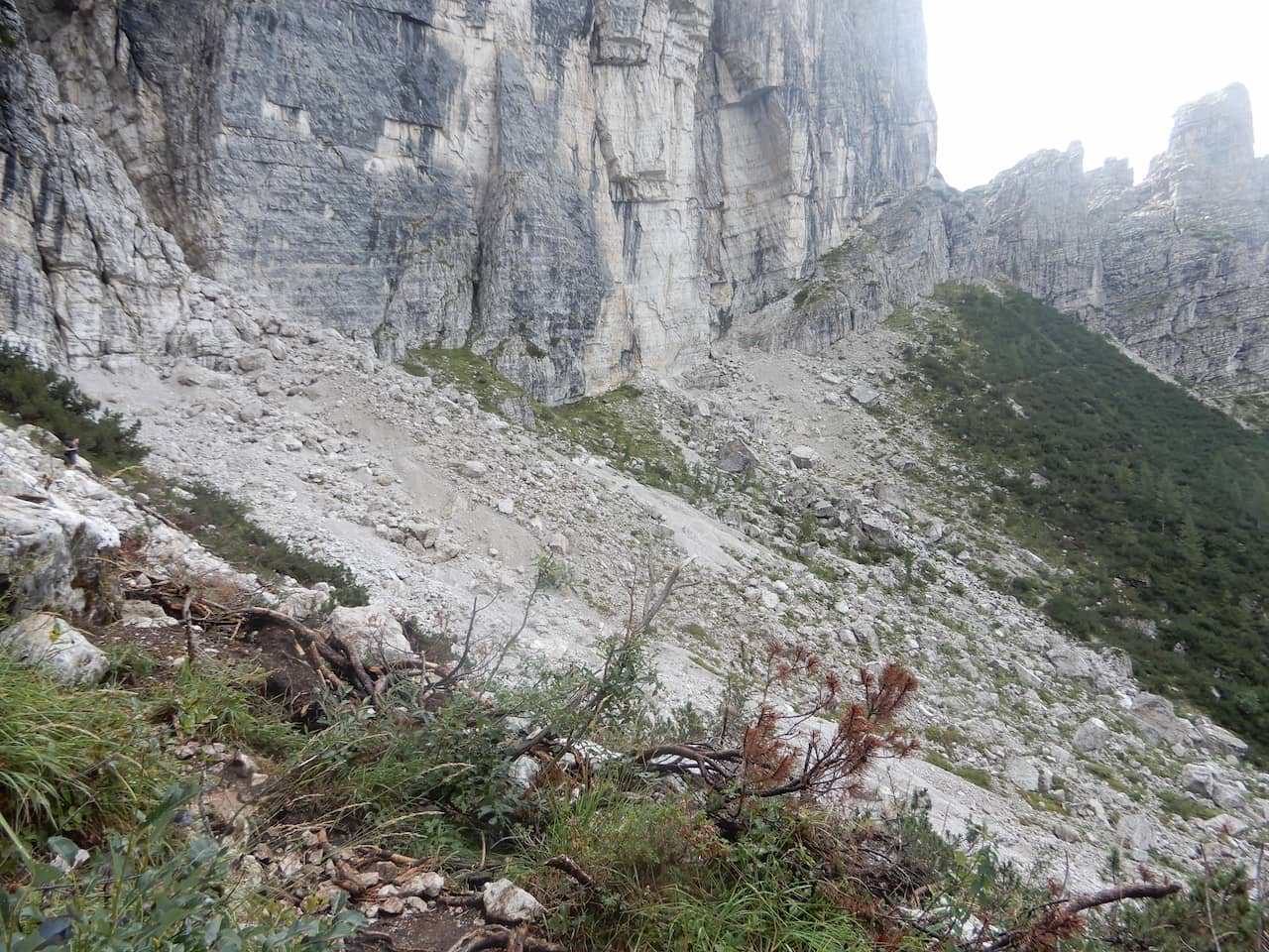
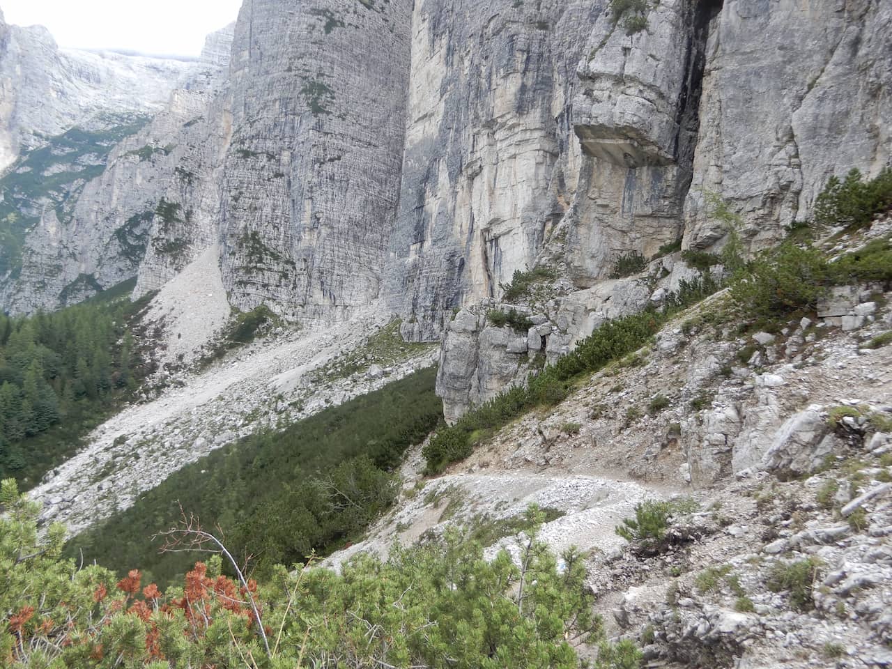
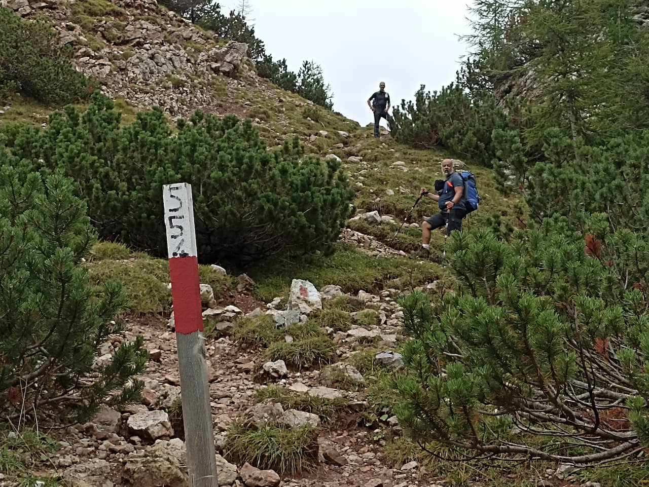
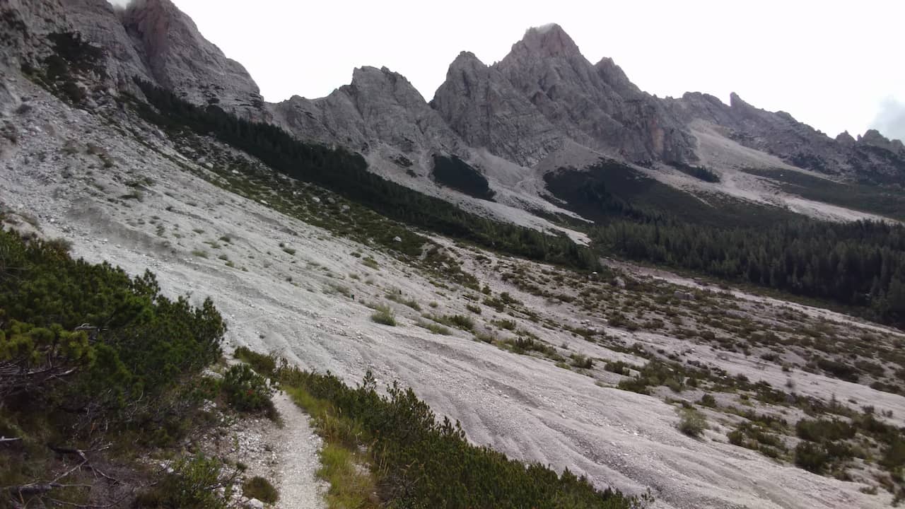
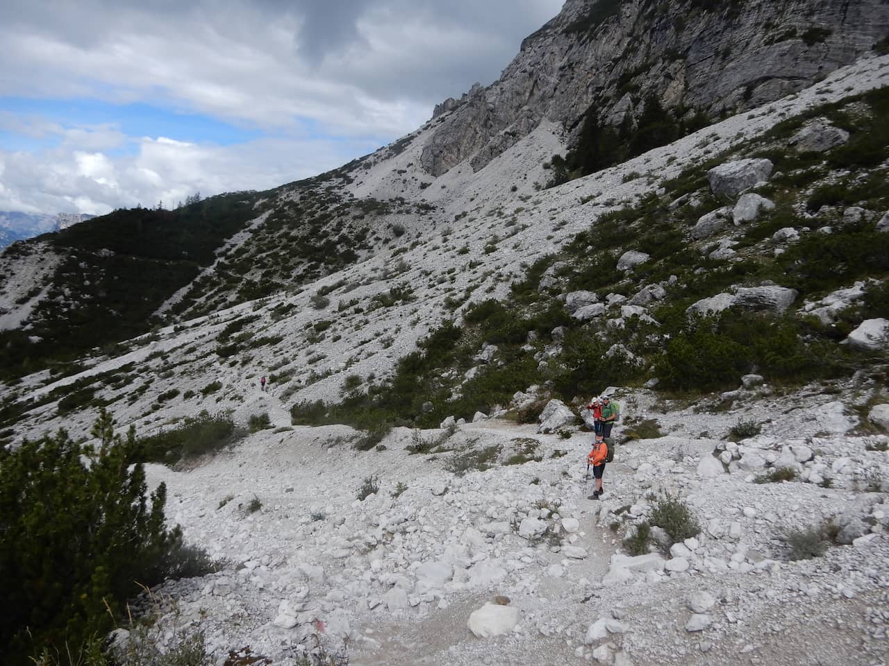
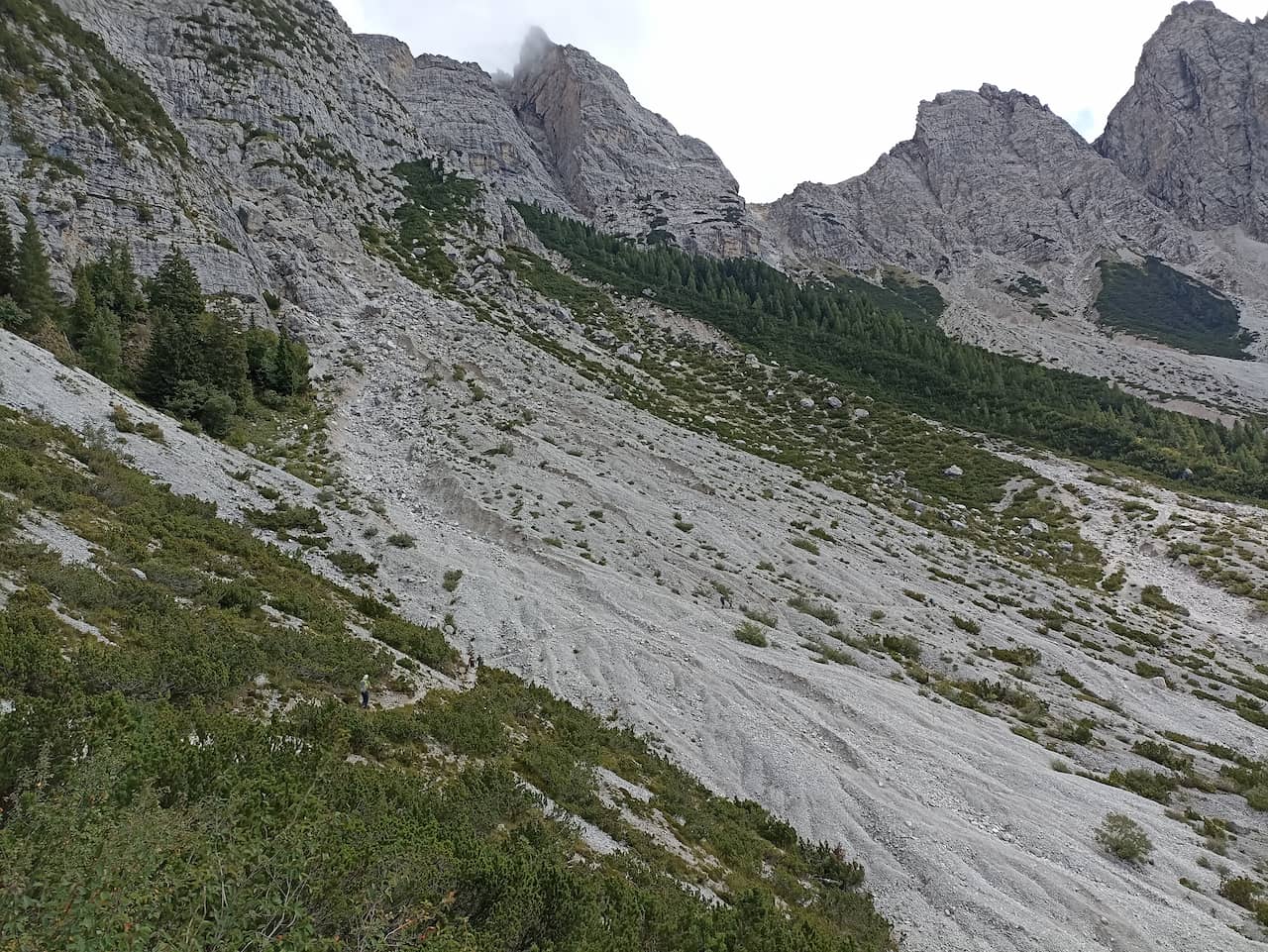
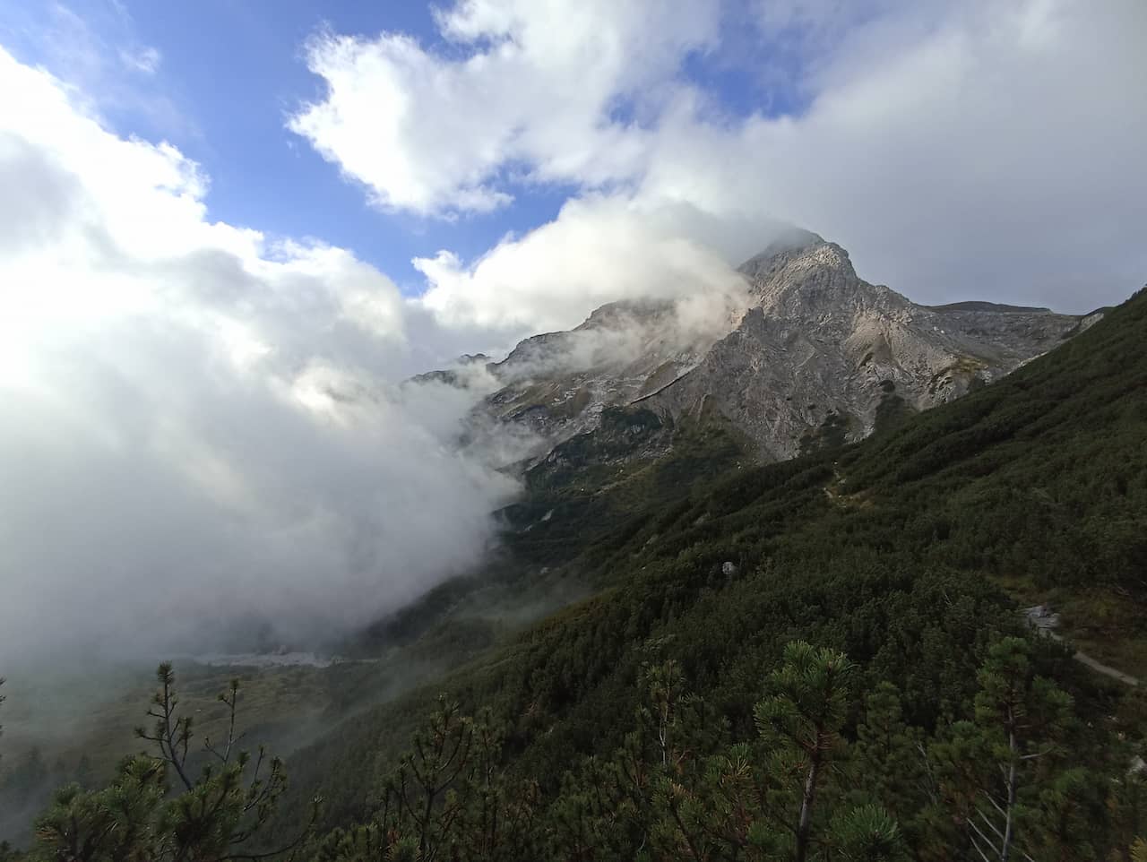
There are some sections where the trail crosses rocky terrain, loose, steep and very exposed sections. And for those who are afraid of exposure, like me, they are quite challenging, but nothing that after some fear and basic stress cannot be overcome.
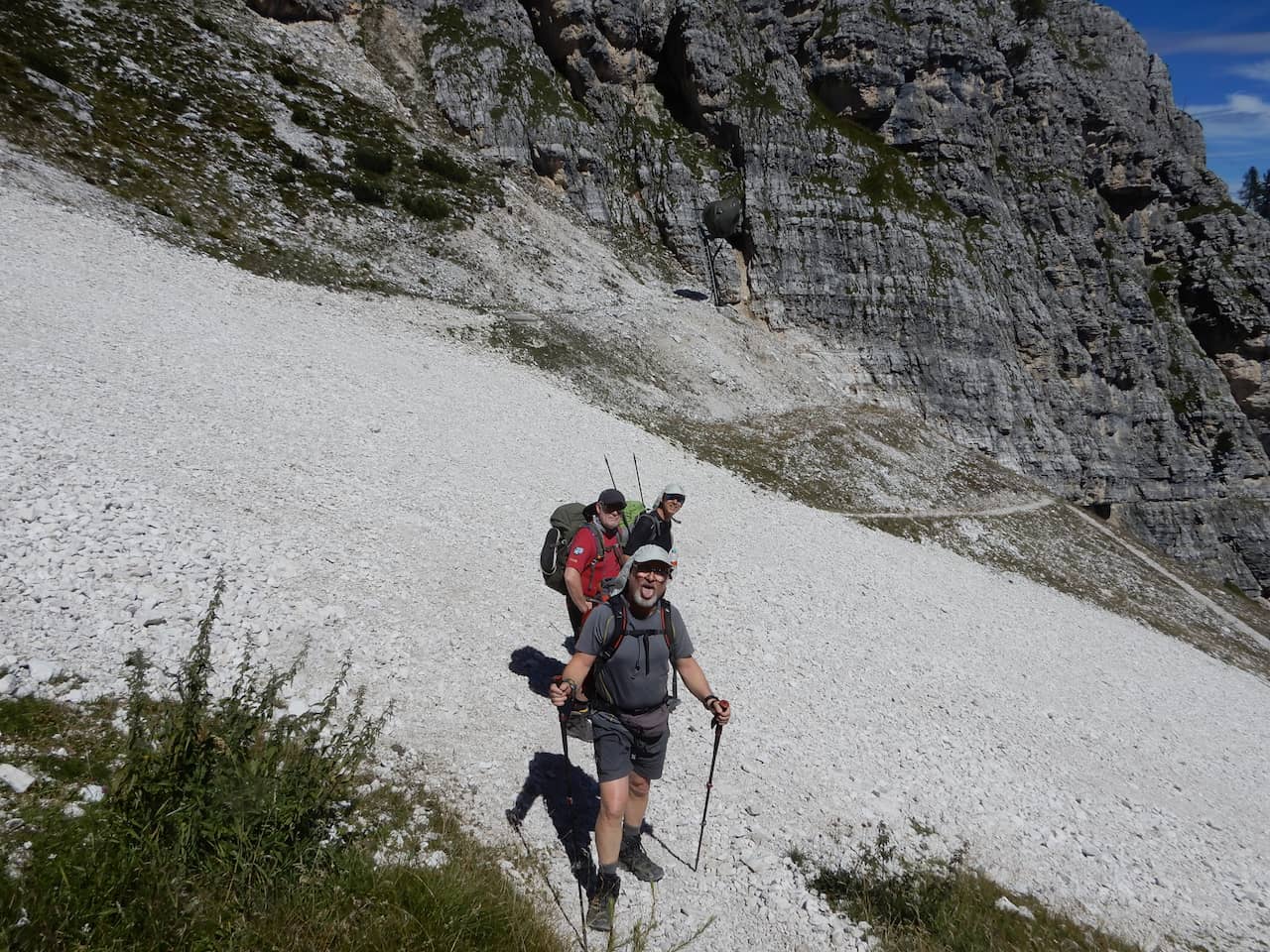
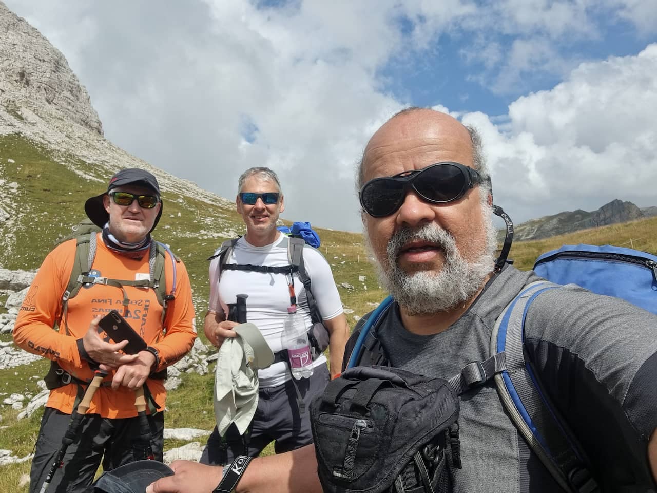
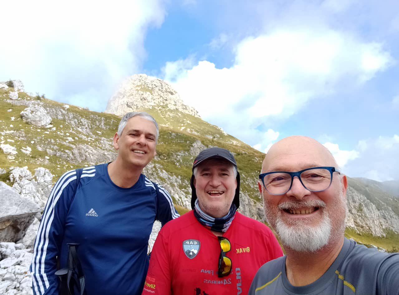
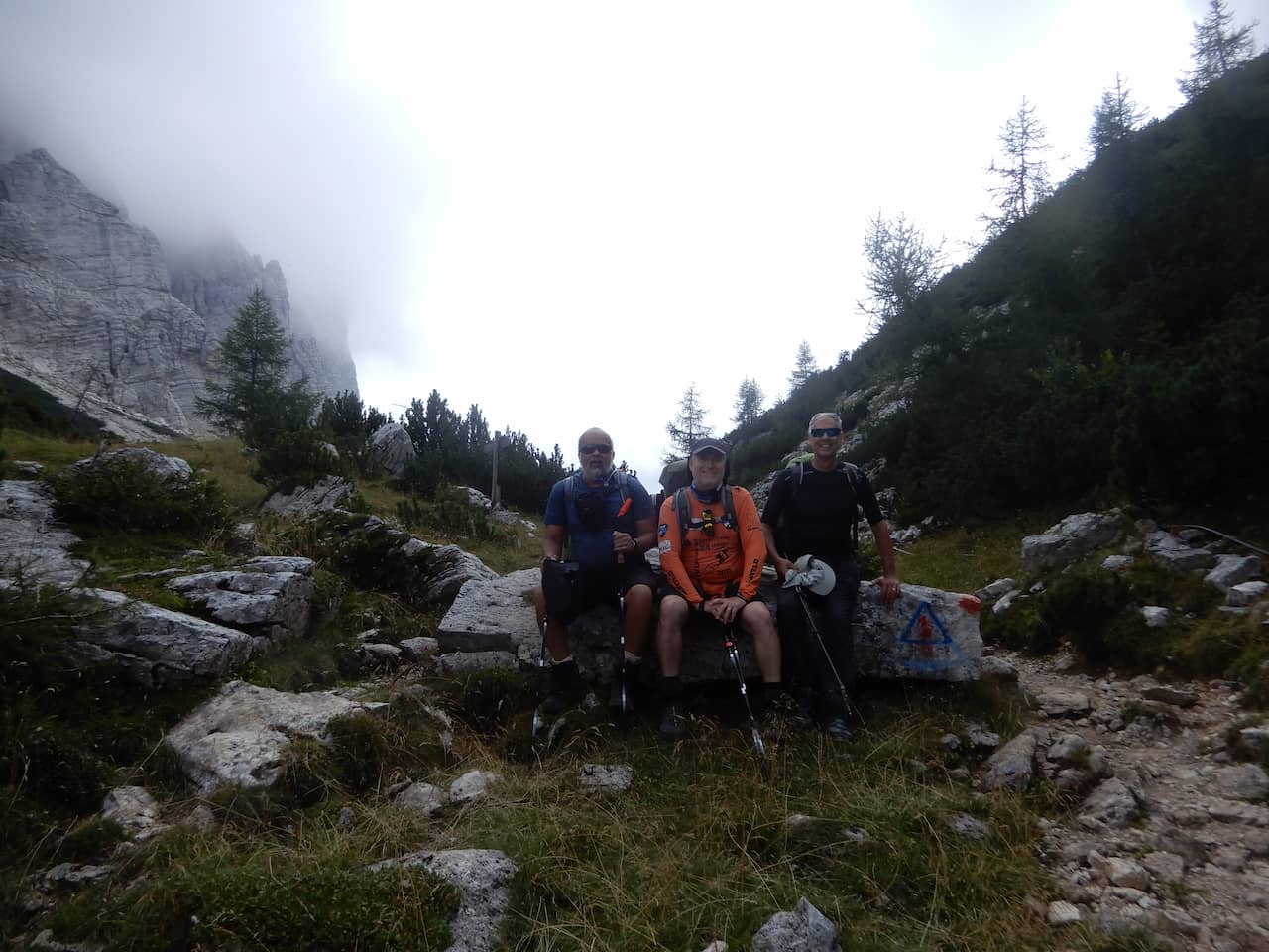
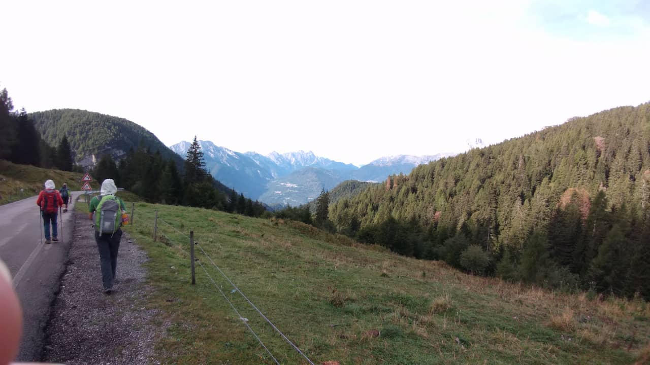
As we wanted a more peaceful trail, we chose to avoid the via ferratas, both because of the difficulty and to save weight, since we will not need to carry equipment.
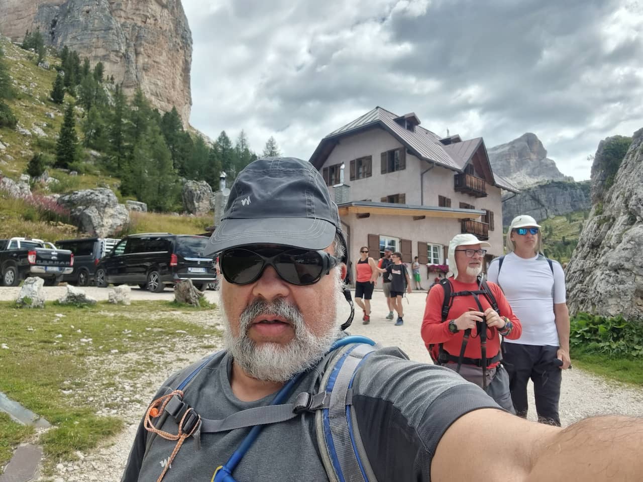
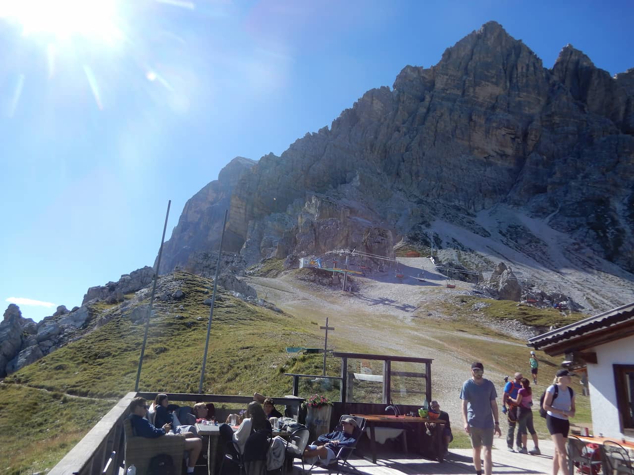
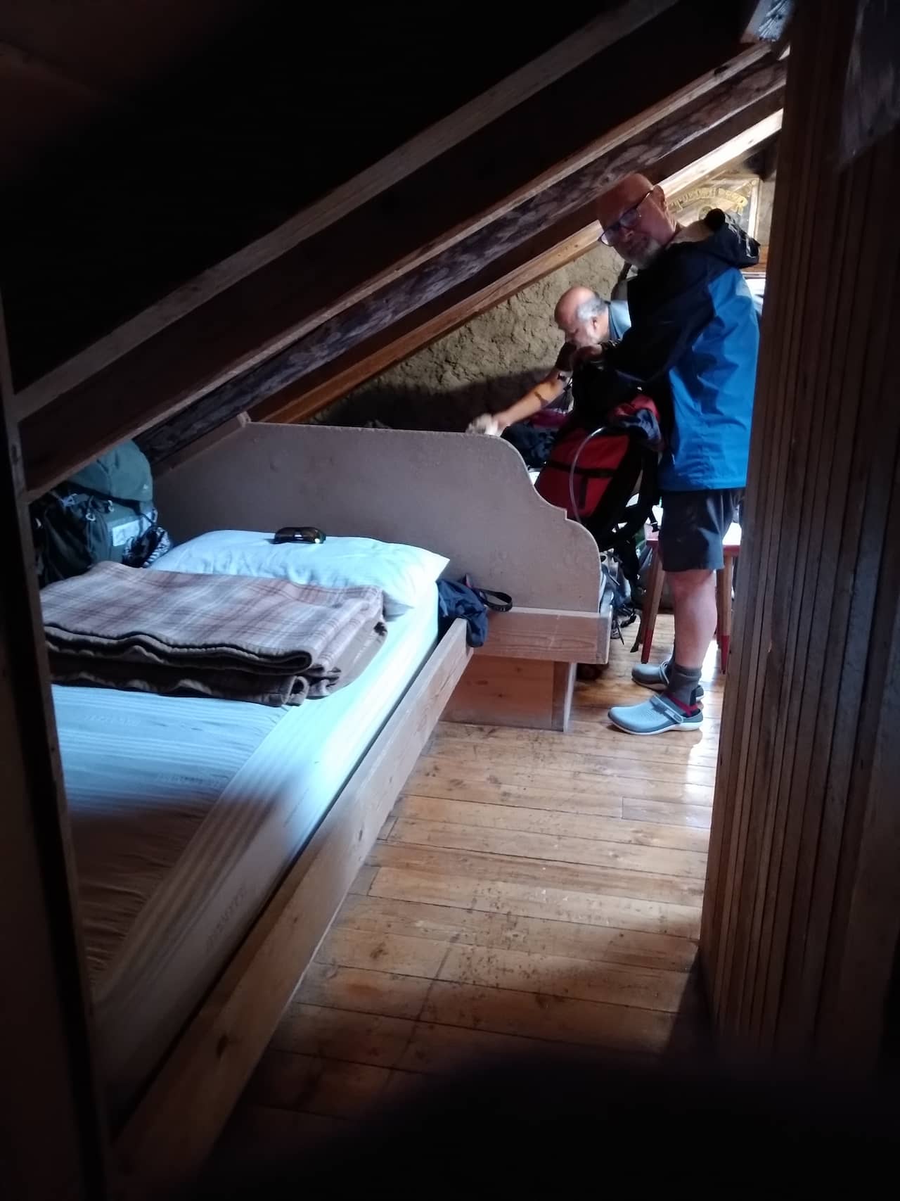
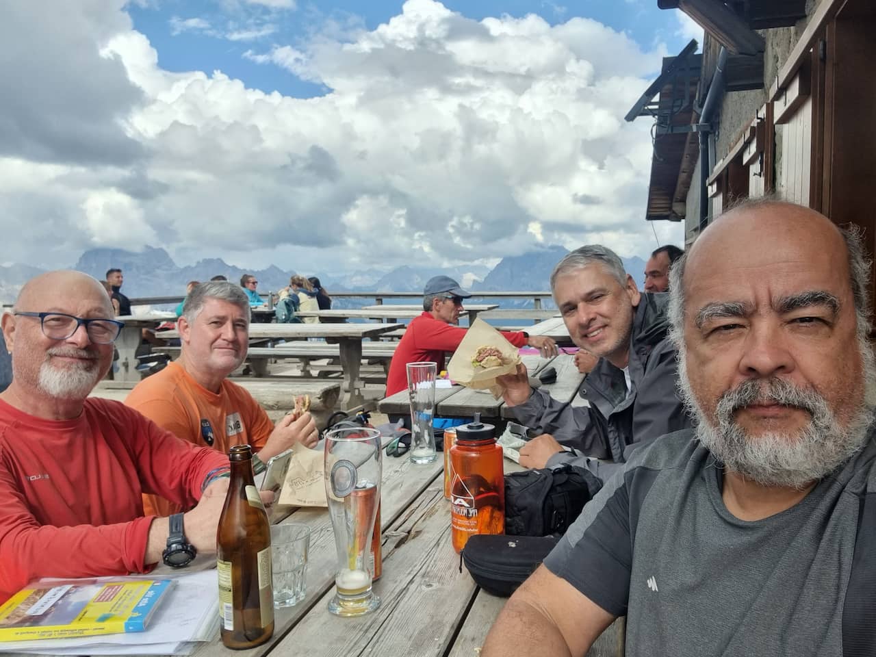
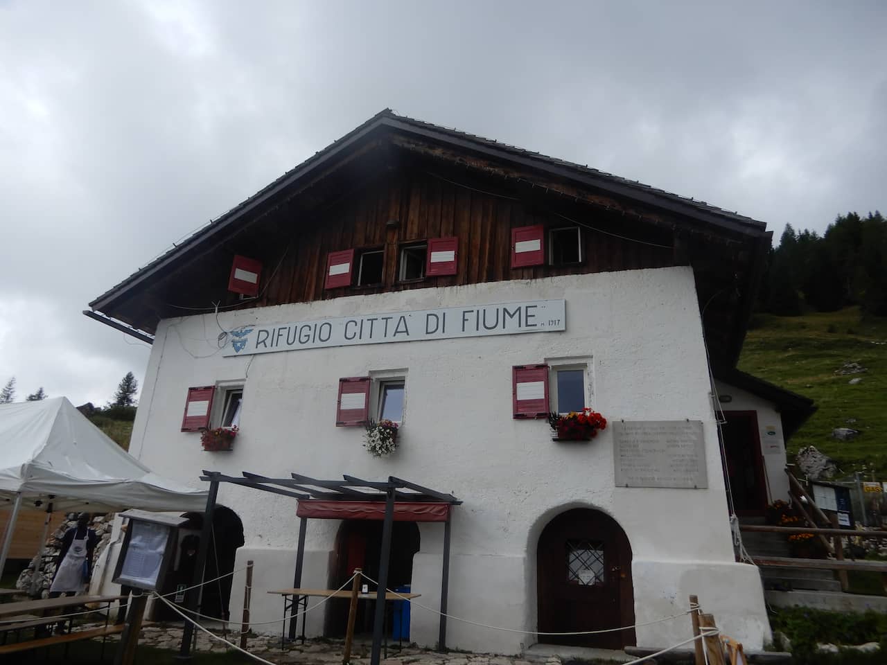
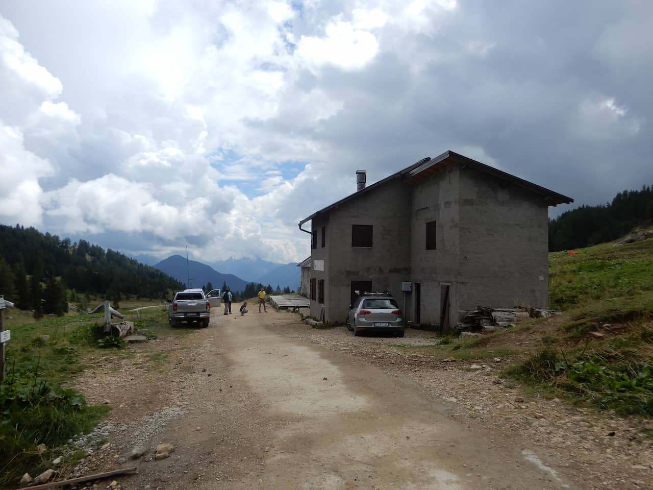
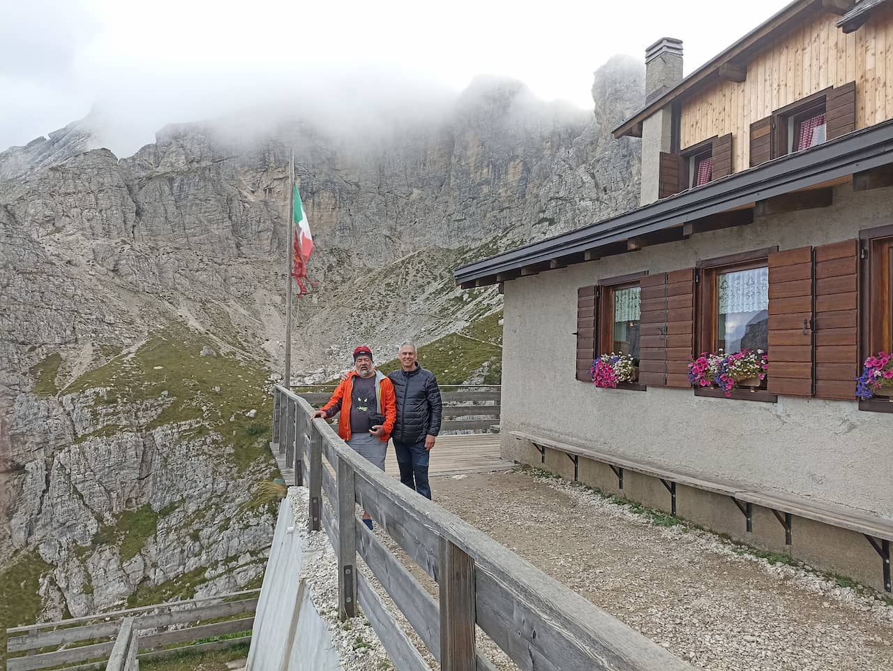
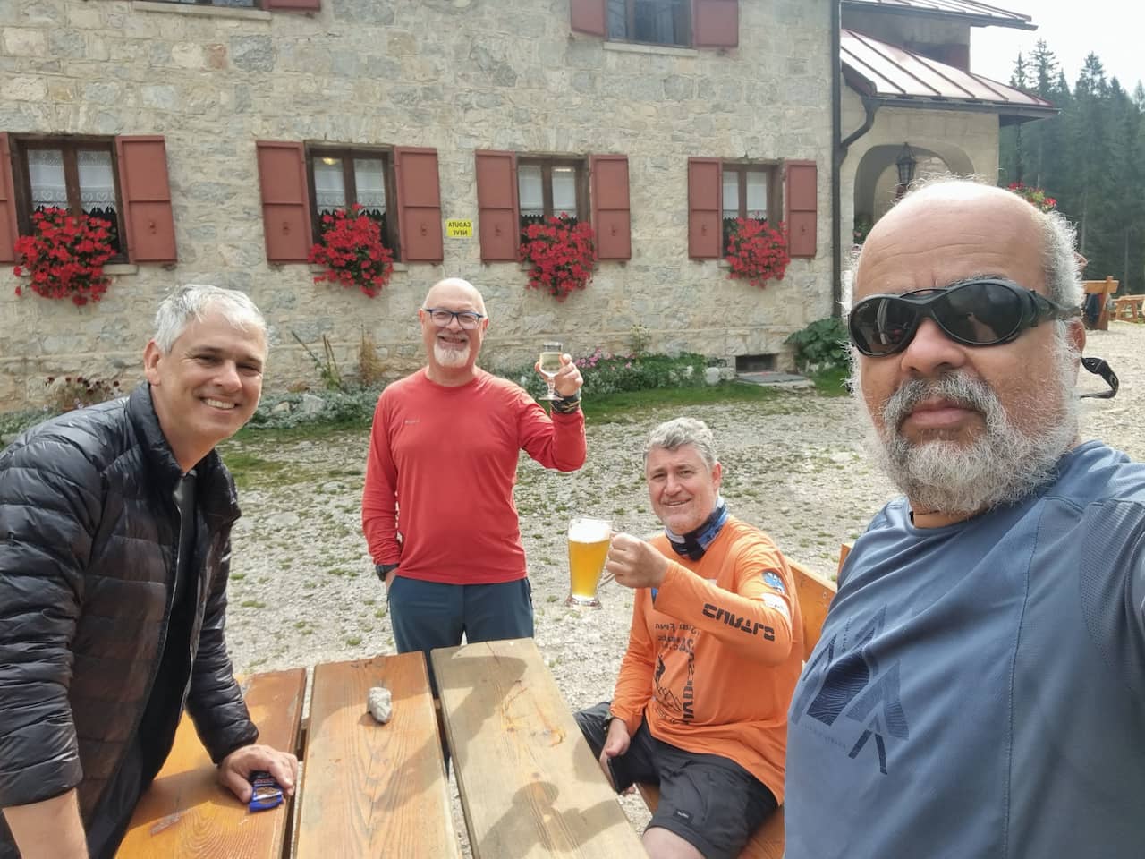
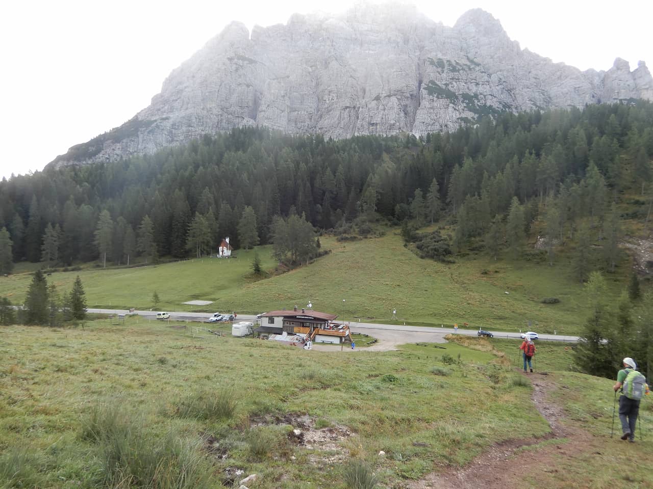
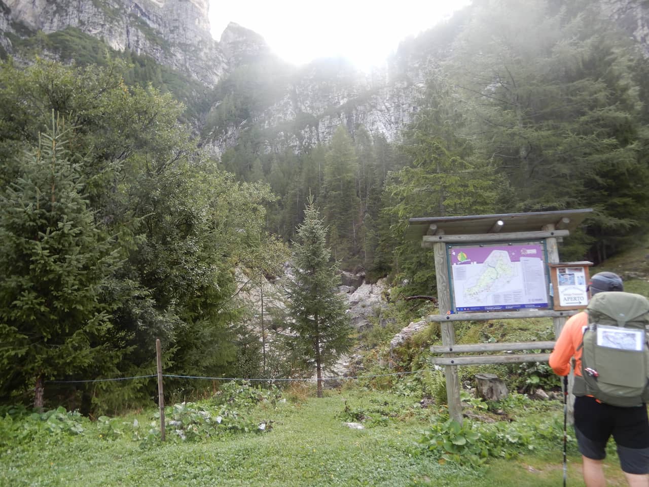
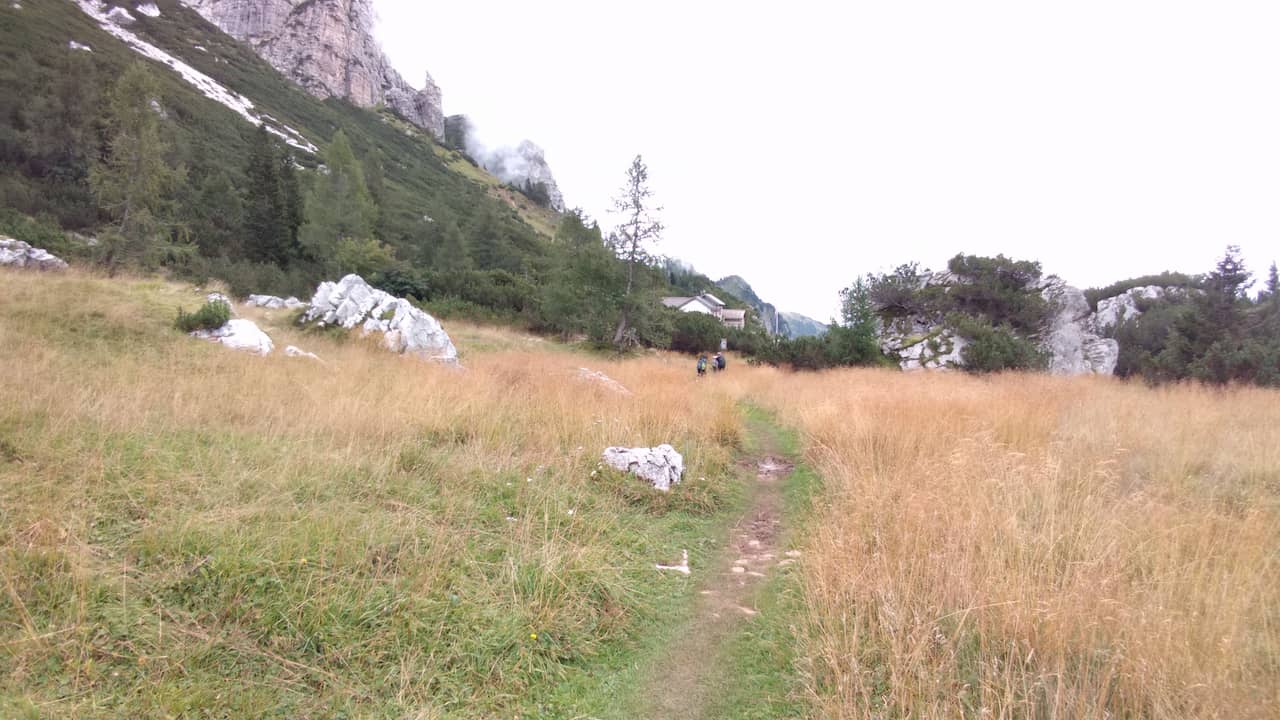
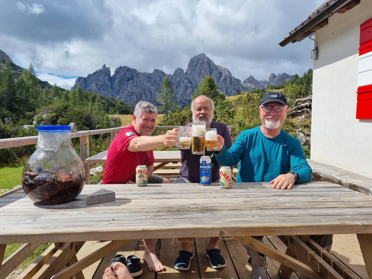
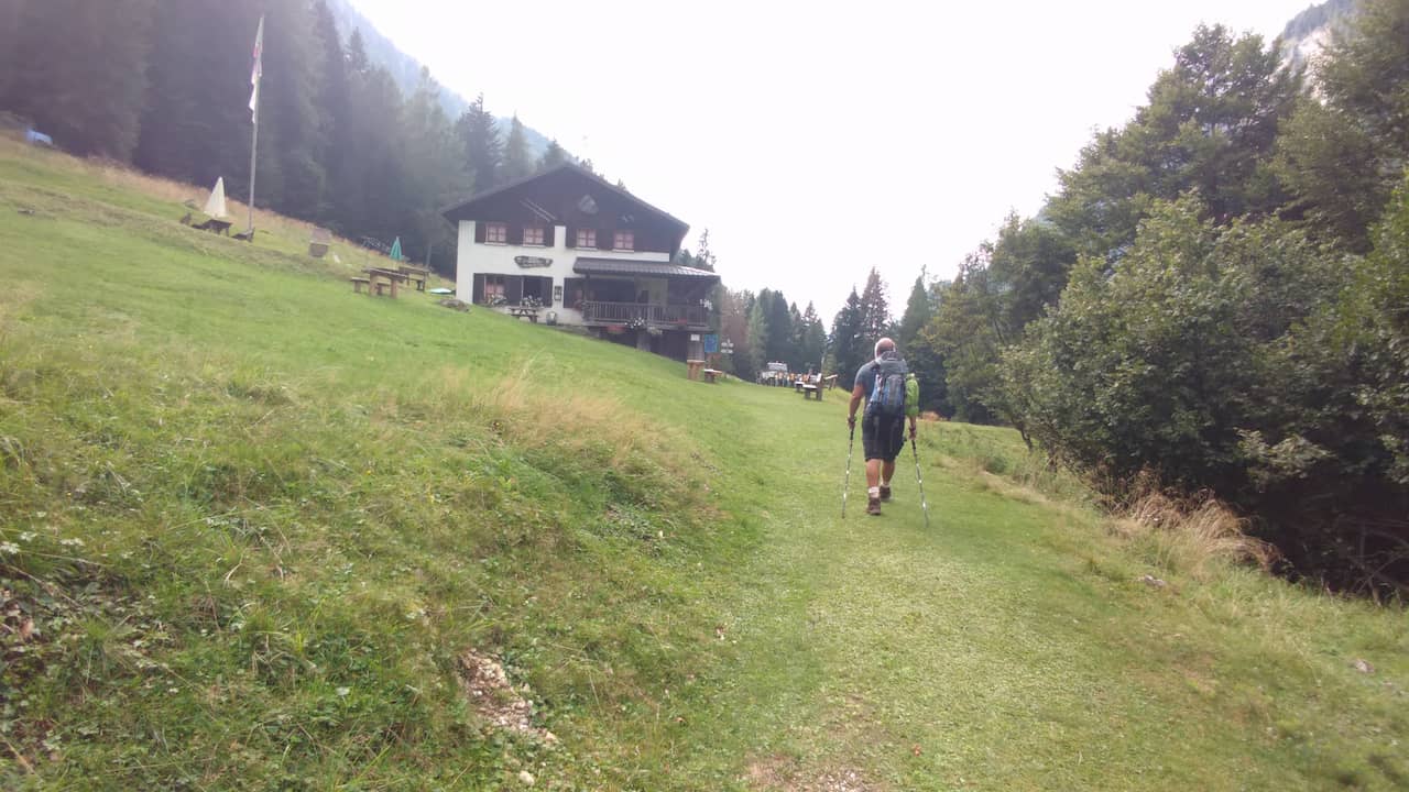
It is necessary to reserve the shelters, to guarantee a resting place. We met people doing it without reservation, but some had problems not finding a place.
As we were unable to reserve the initial shelters, we made a variant for the first 3 days.
If you need more information, contact CAI (Italian Alpine Club)
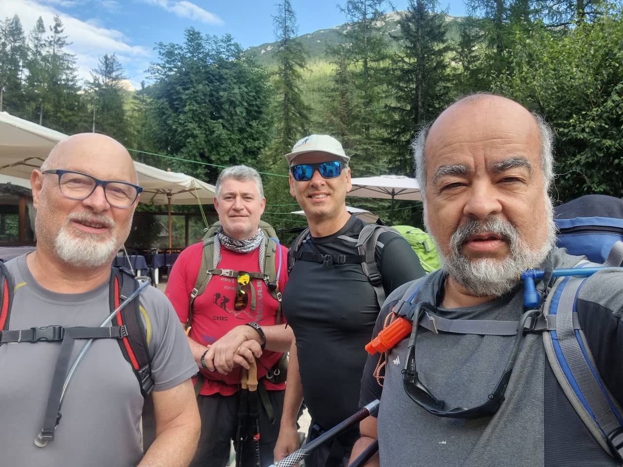
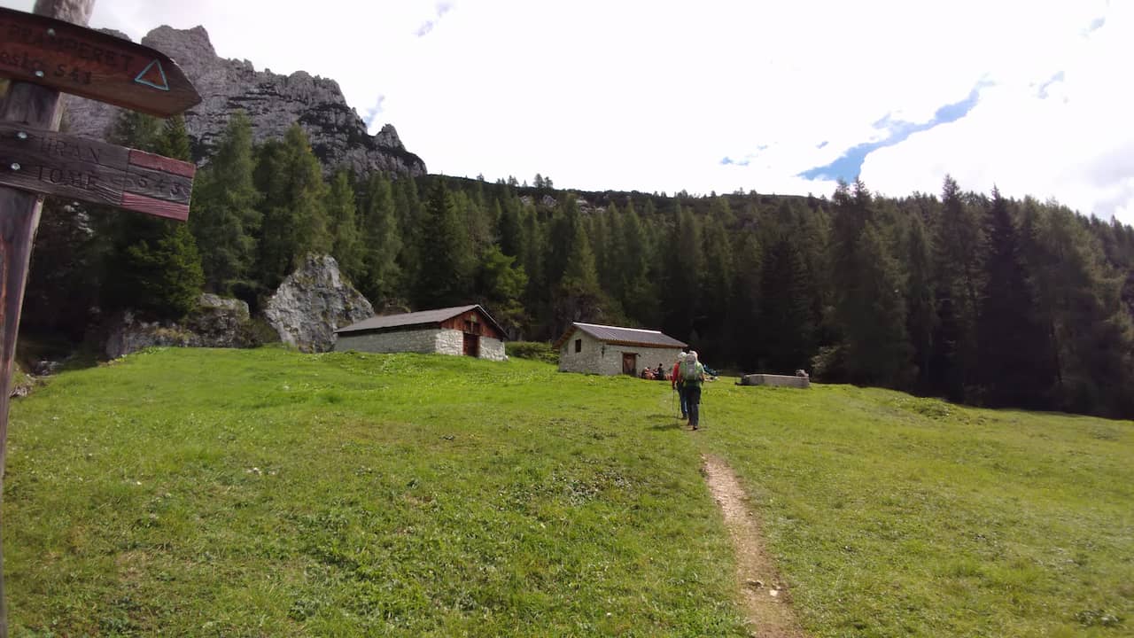
Our daily itinerary was as follows:
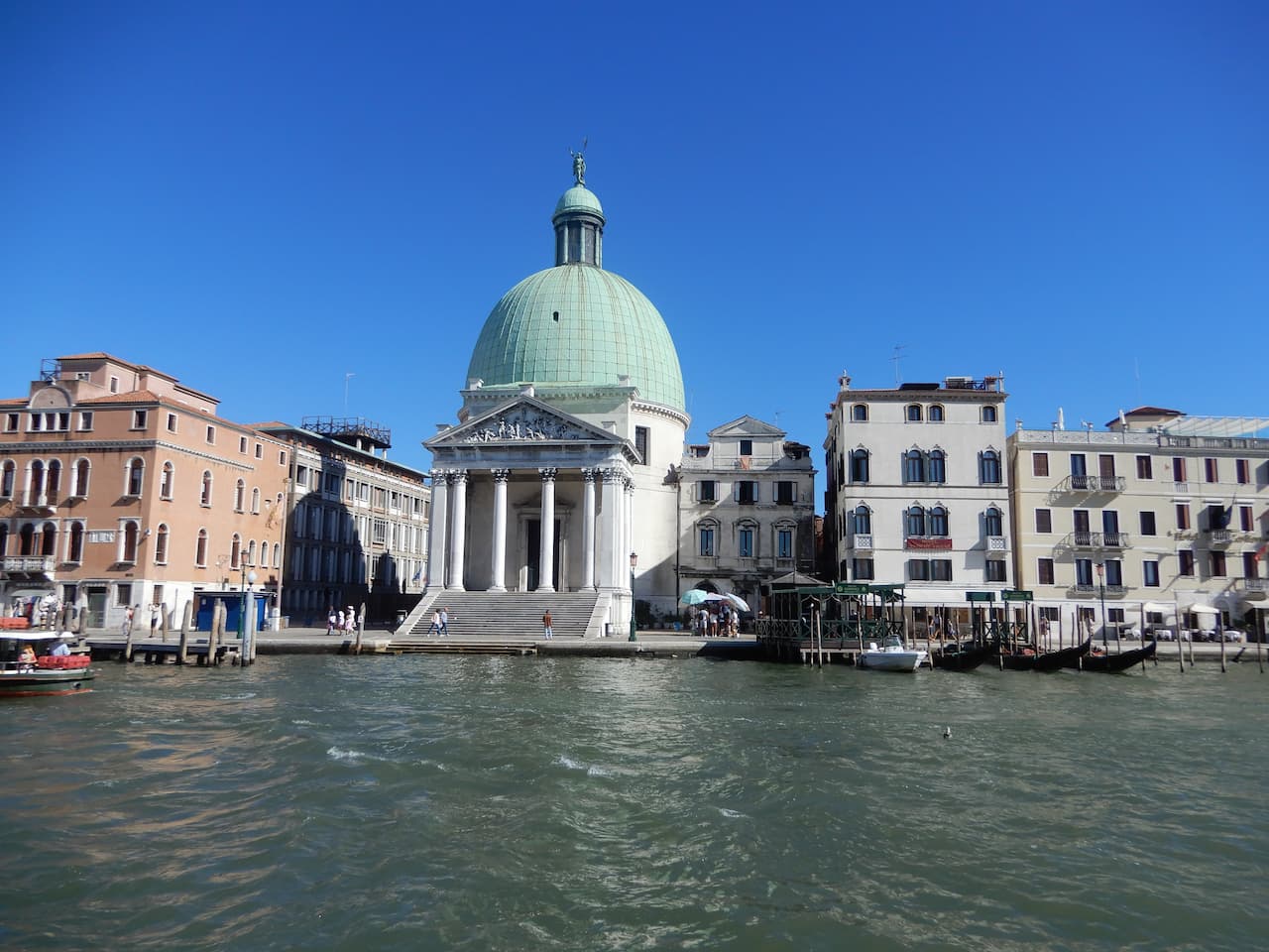
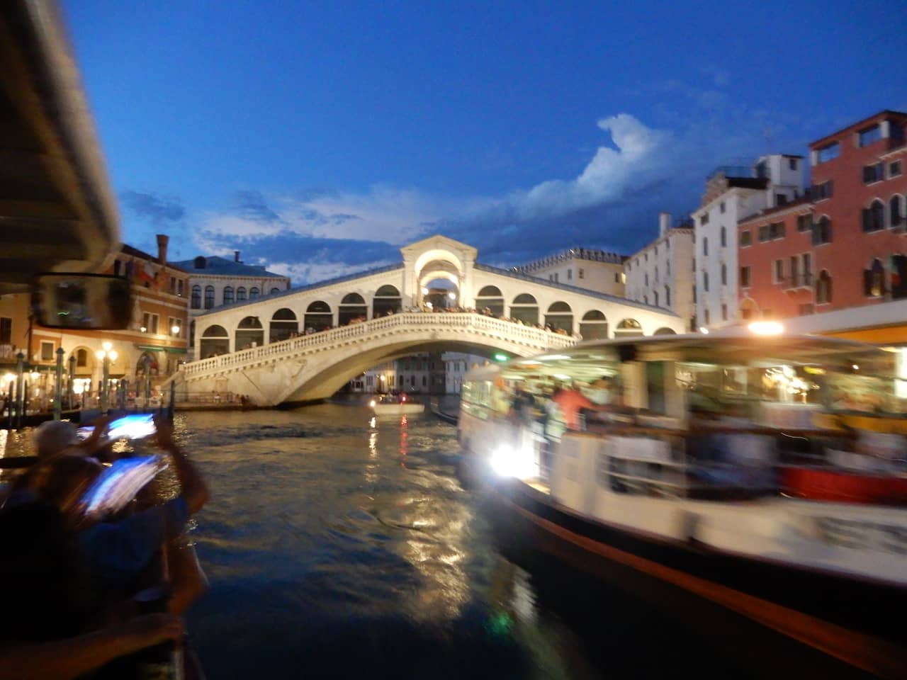
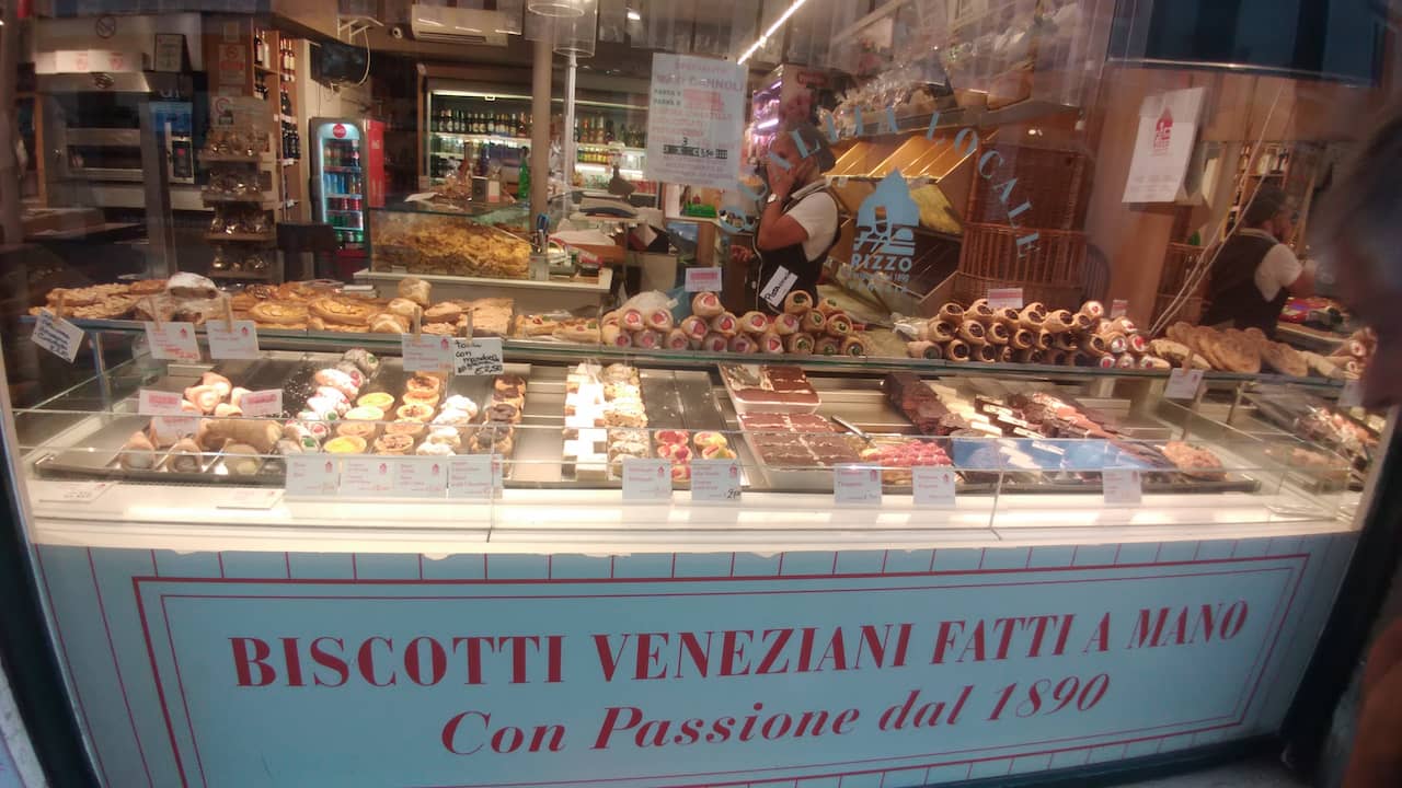
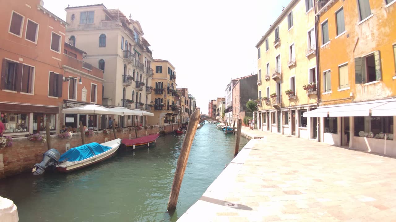
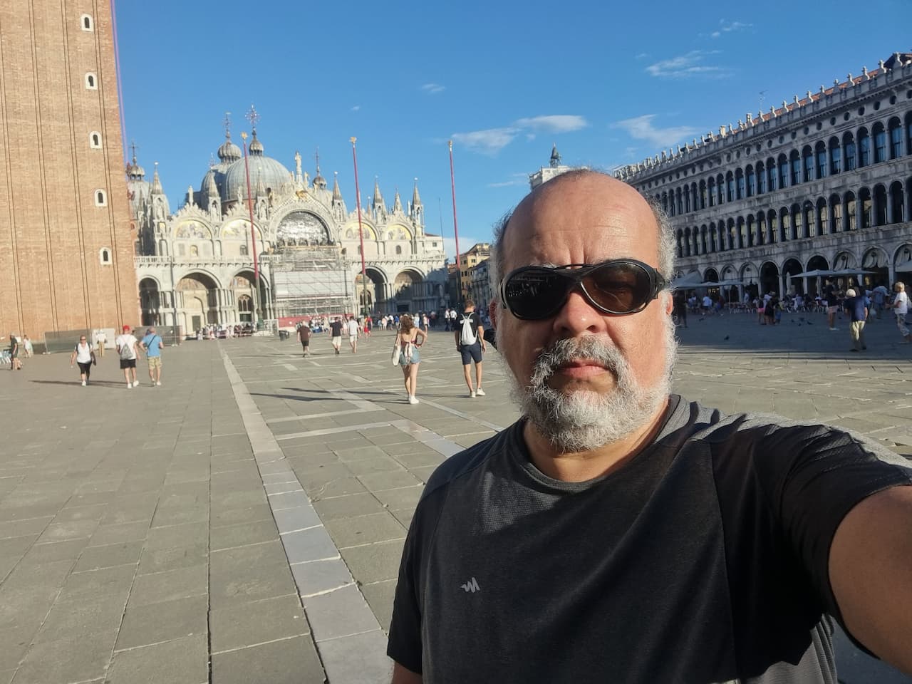
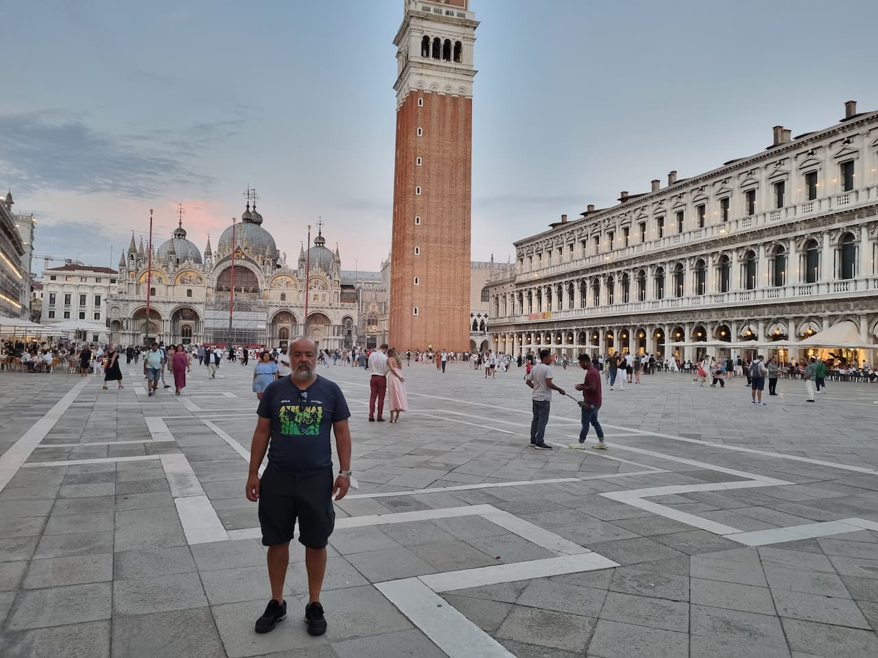
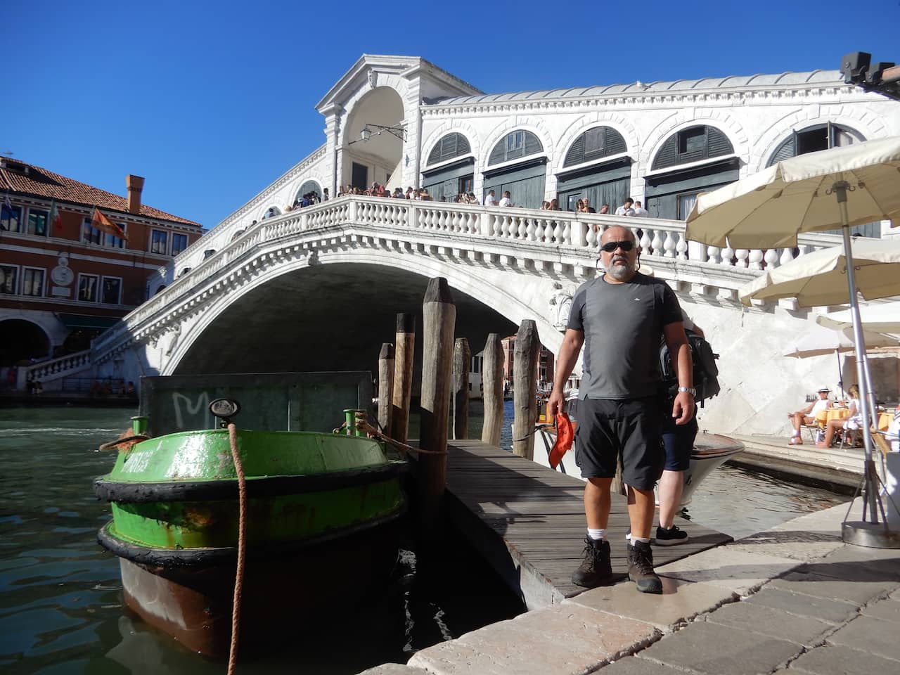
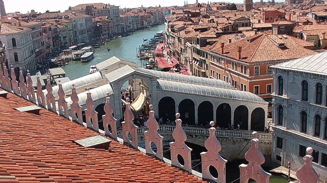
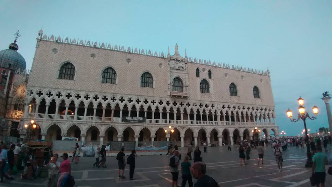
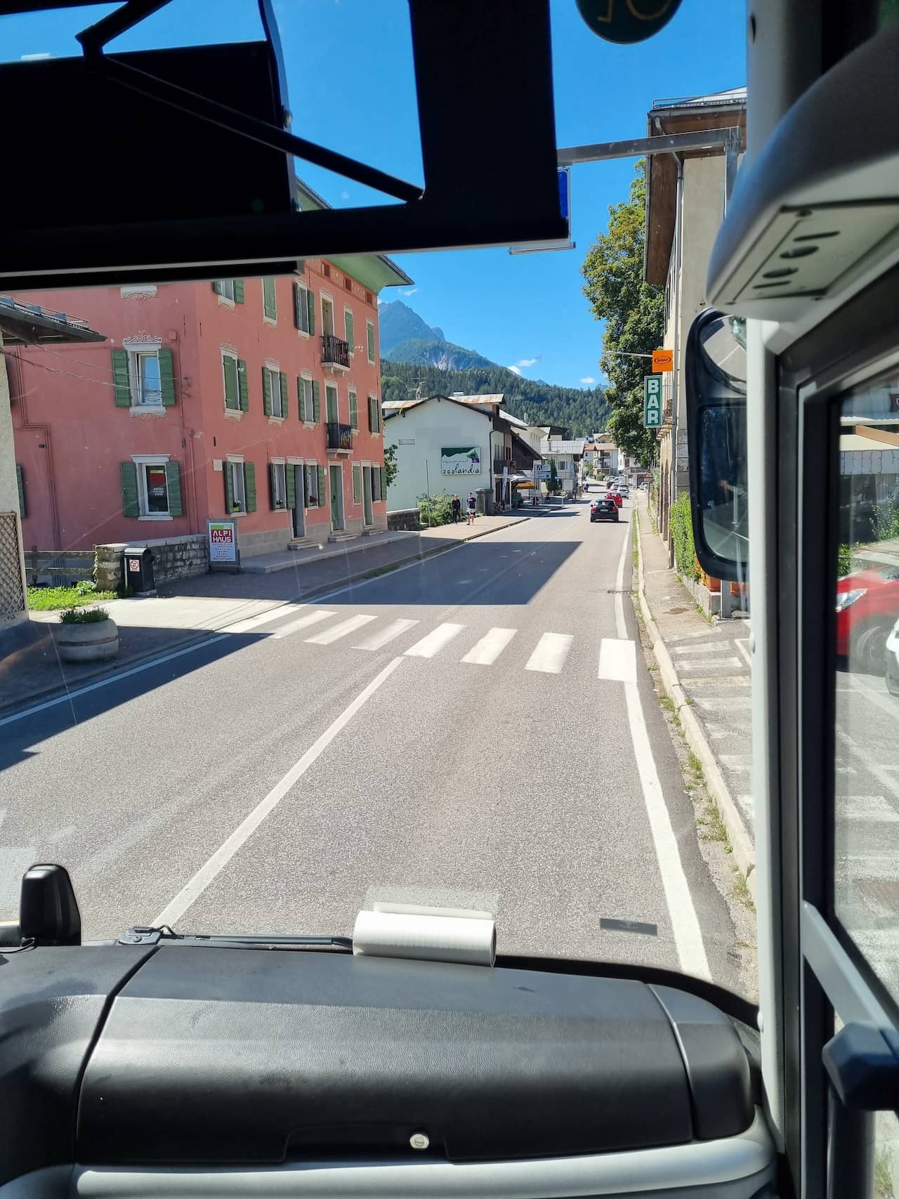
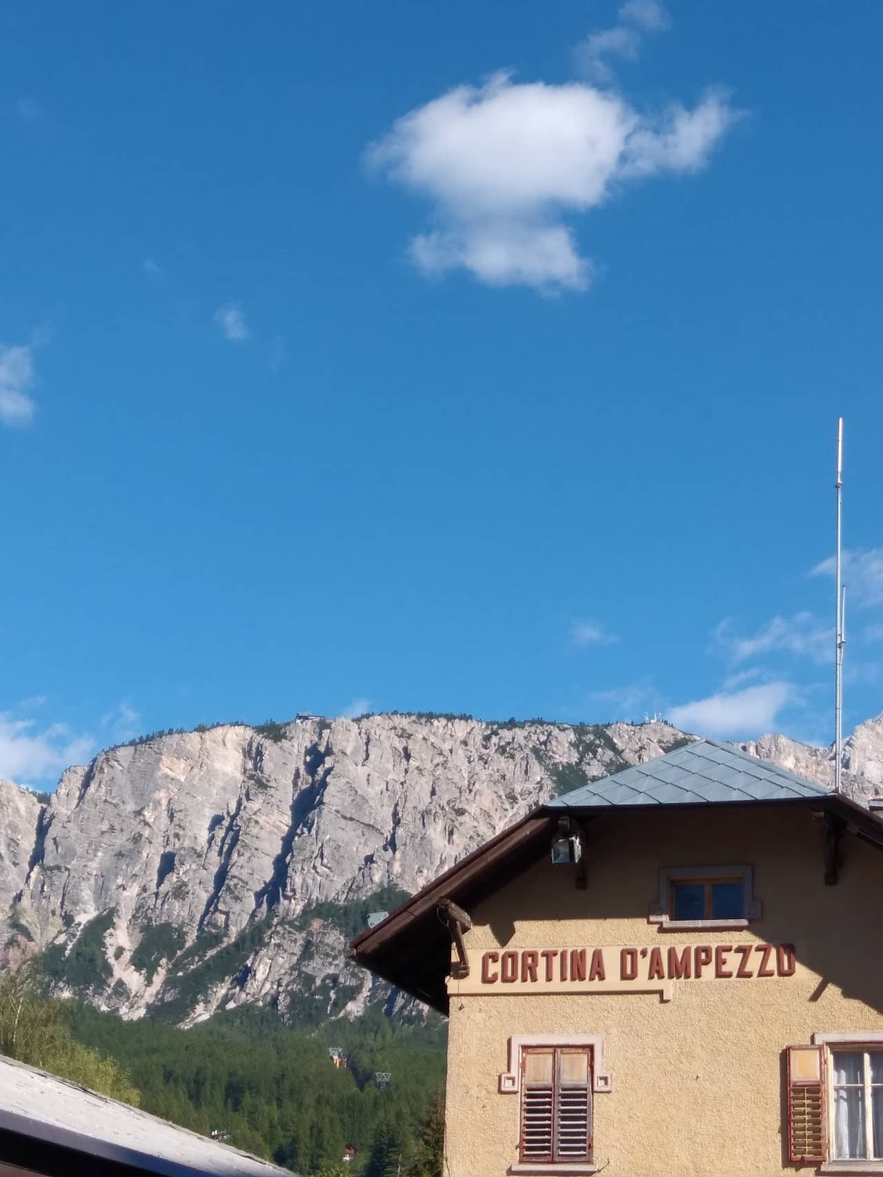
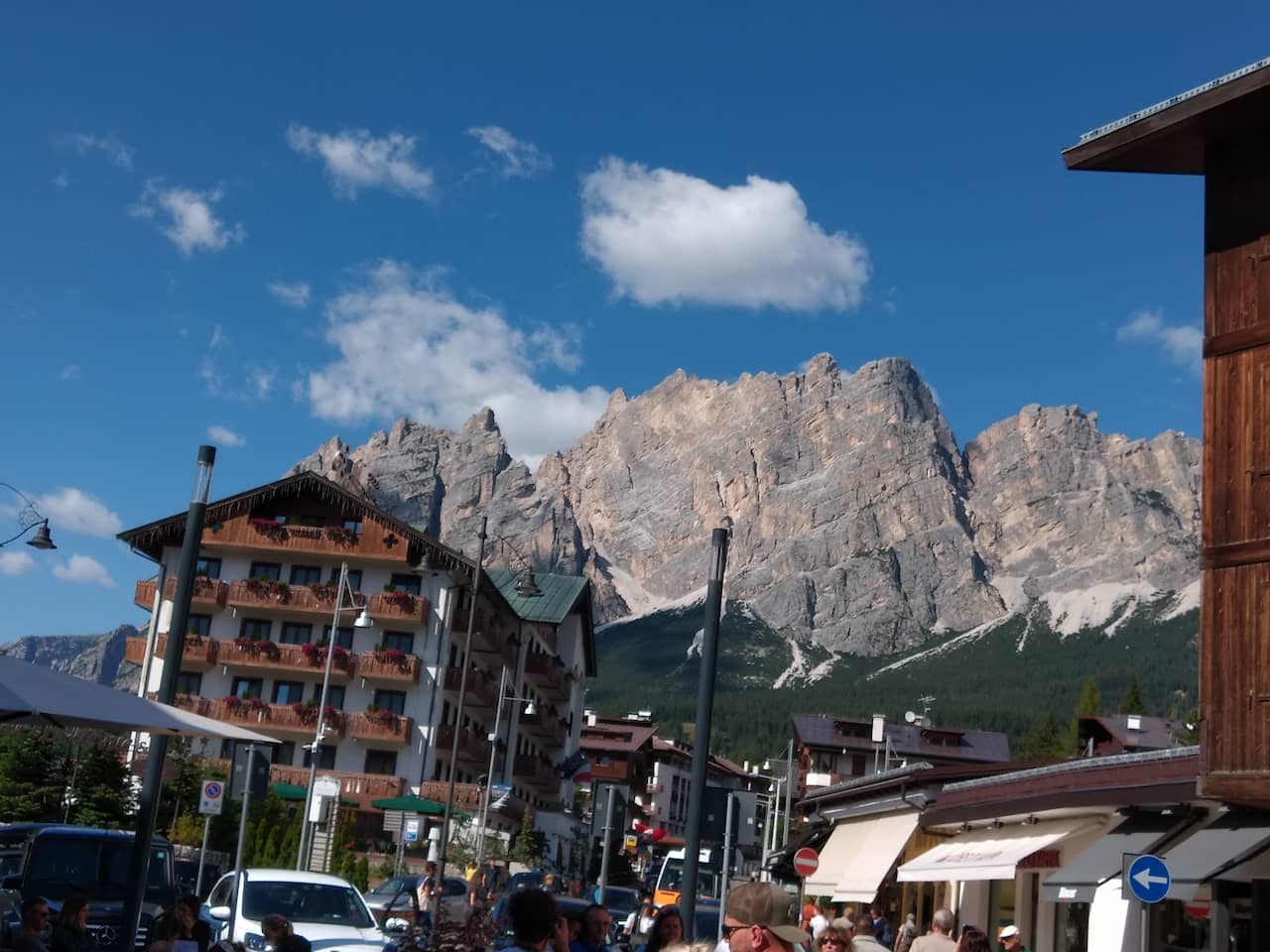
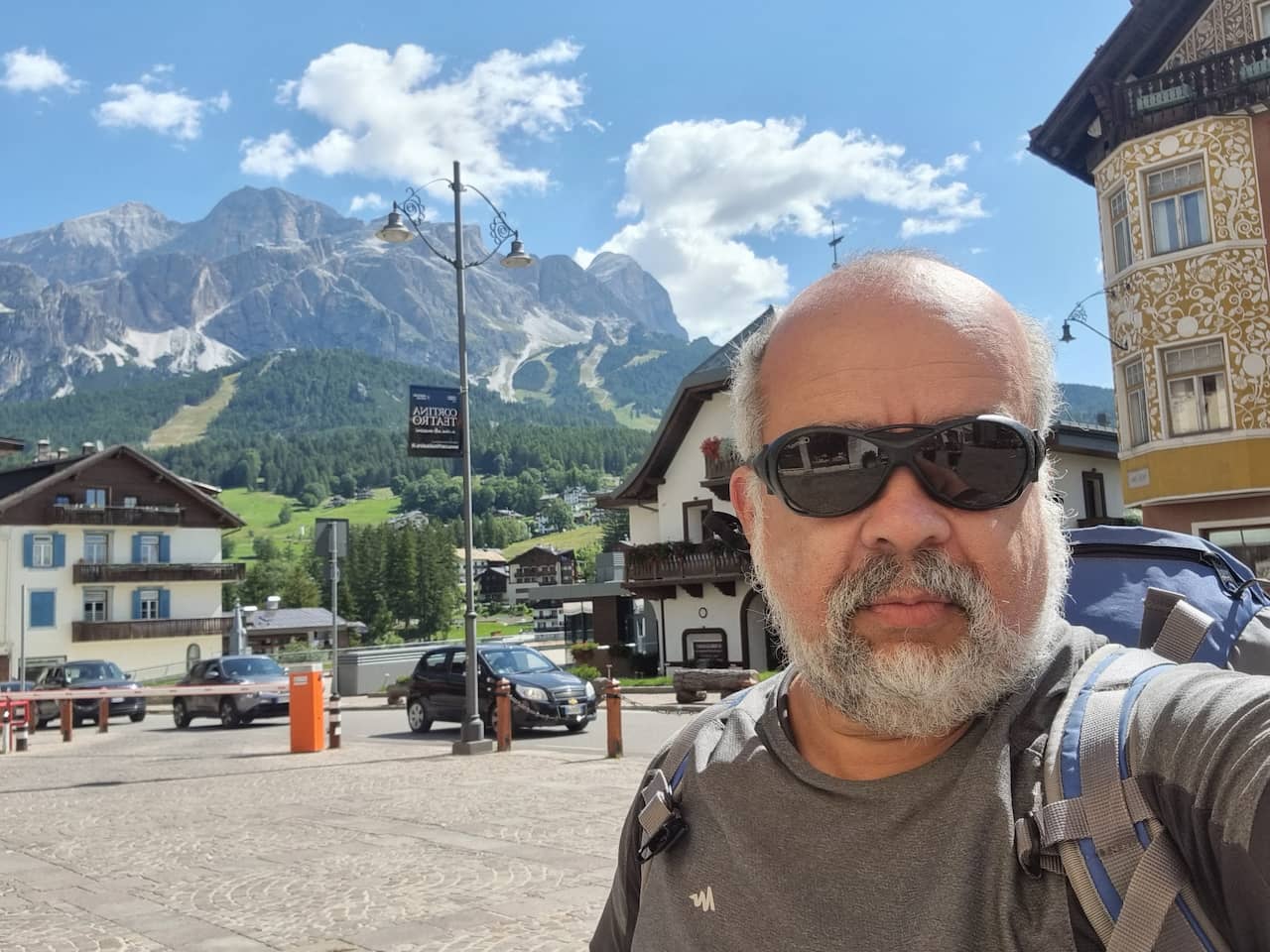
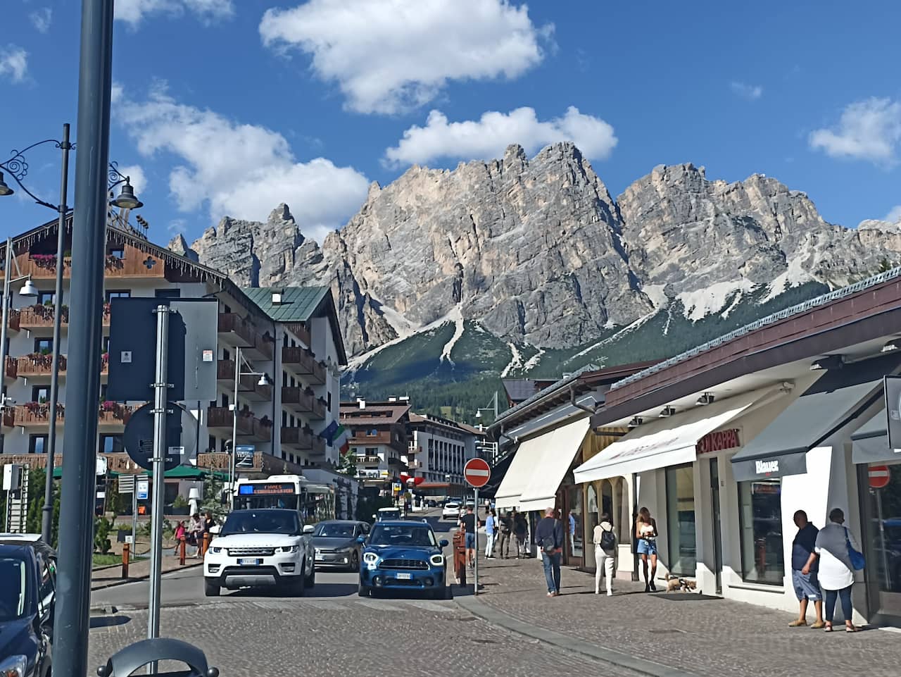
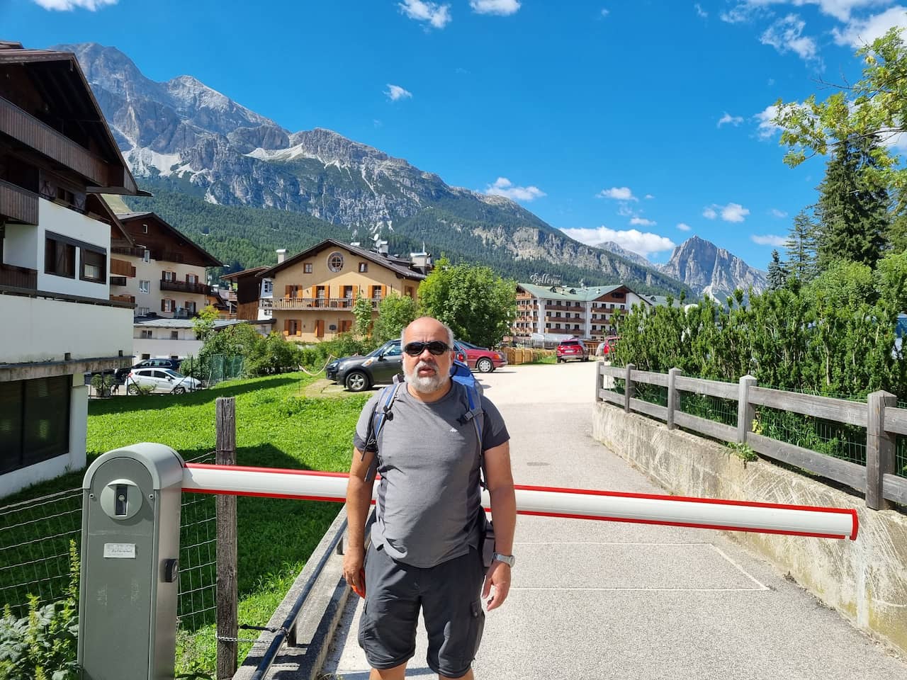
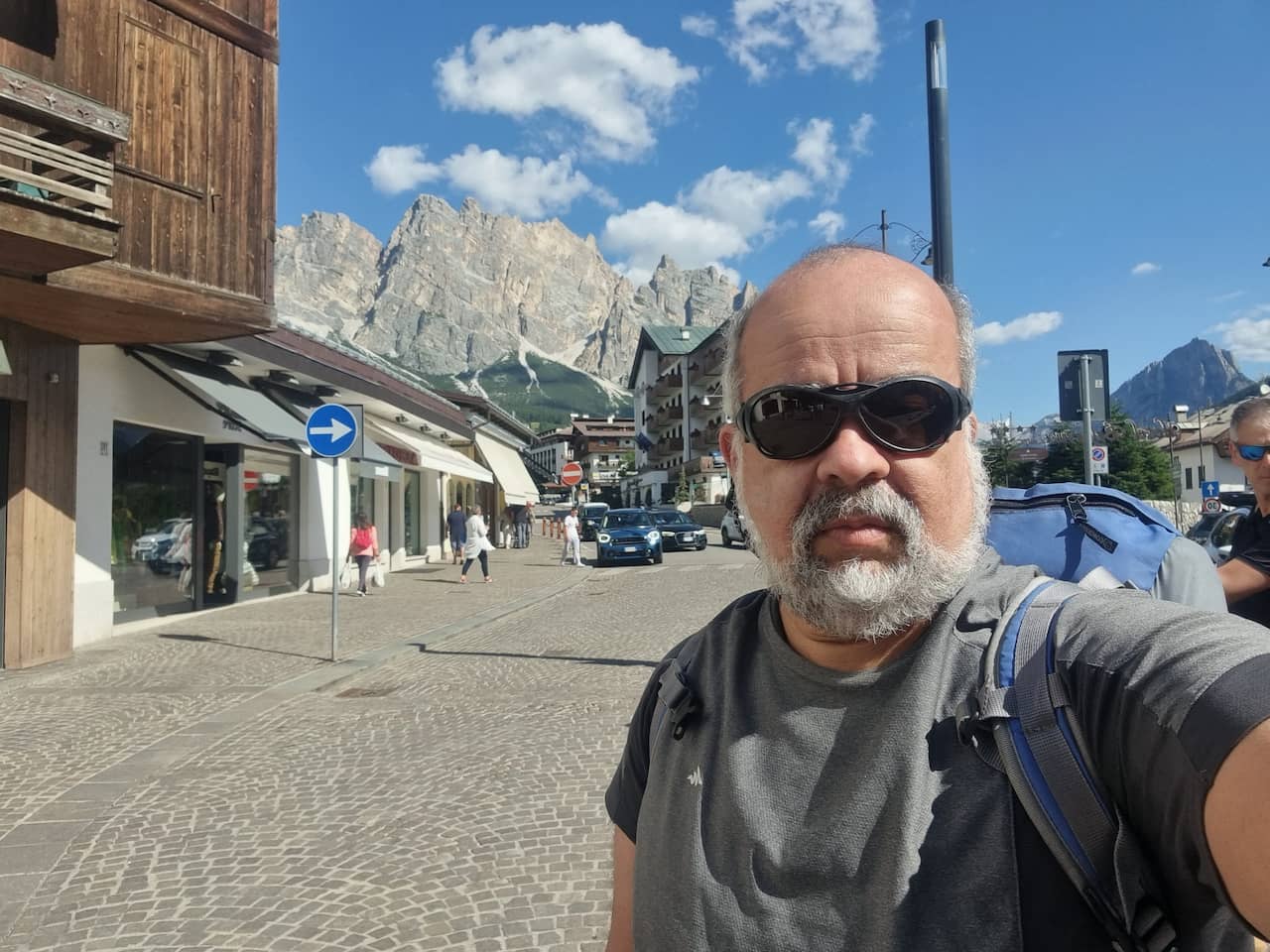
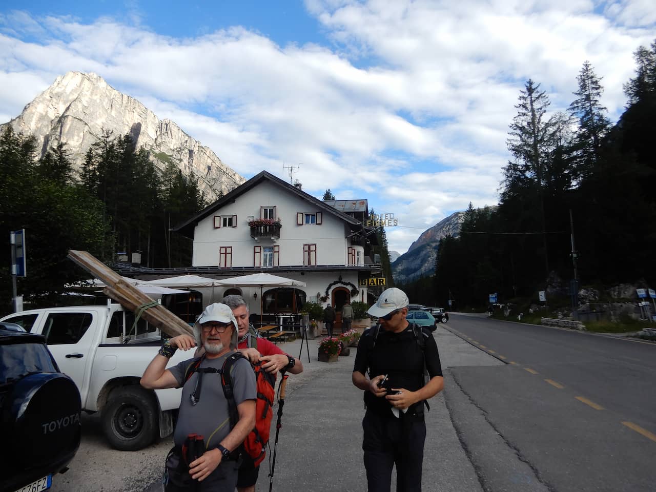
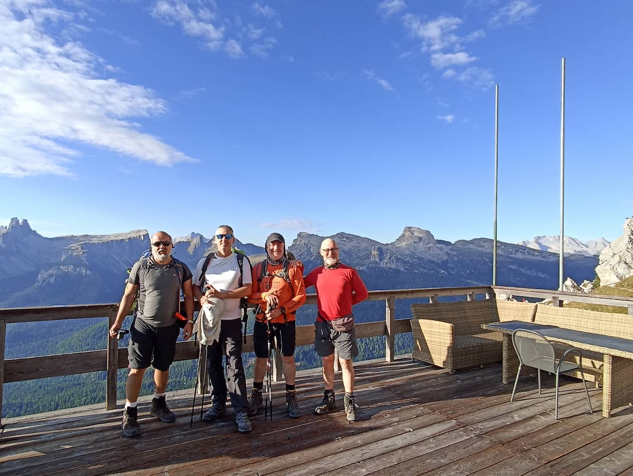
1 – Venice to Cortina D’ampezzo to Fiames – Arrival at the start of the trail.
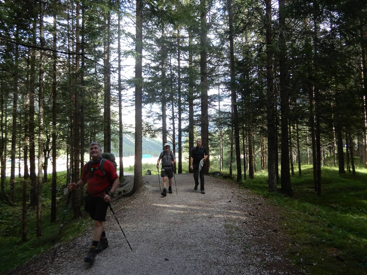
2 – Fiames to the Pomedes refuge.
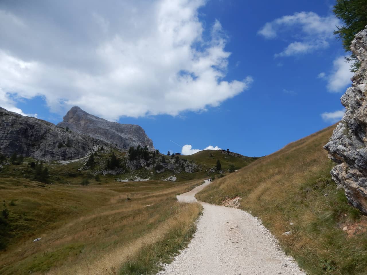
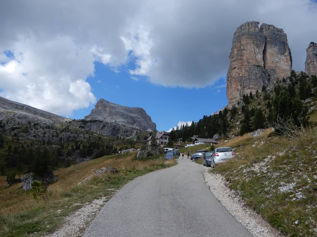
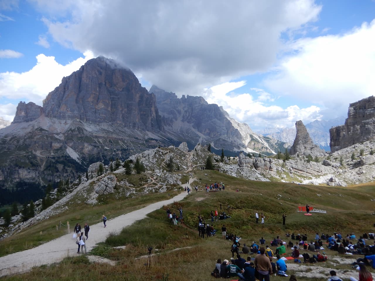
3 – Pomedes refuge – Cinque Torri – Pomedes.
4 – Pomedes refuge to Forcella del Bos – Pomedes
5 – Pomedes refuge – Cinque Torri to Novulau.
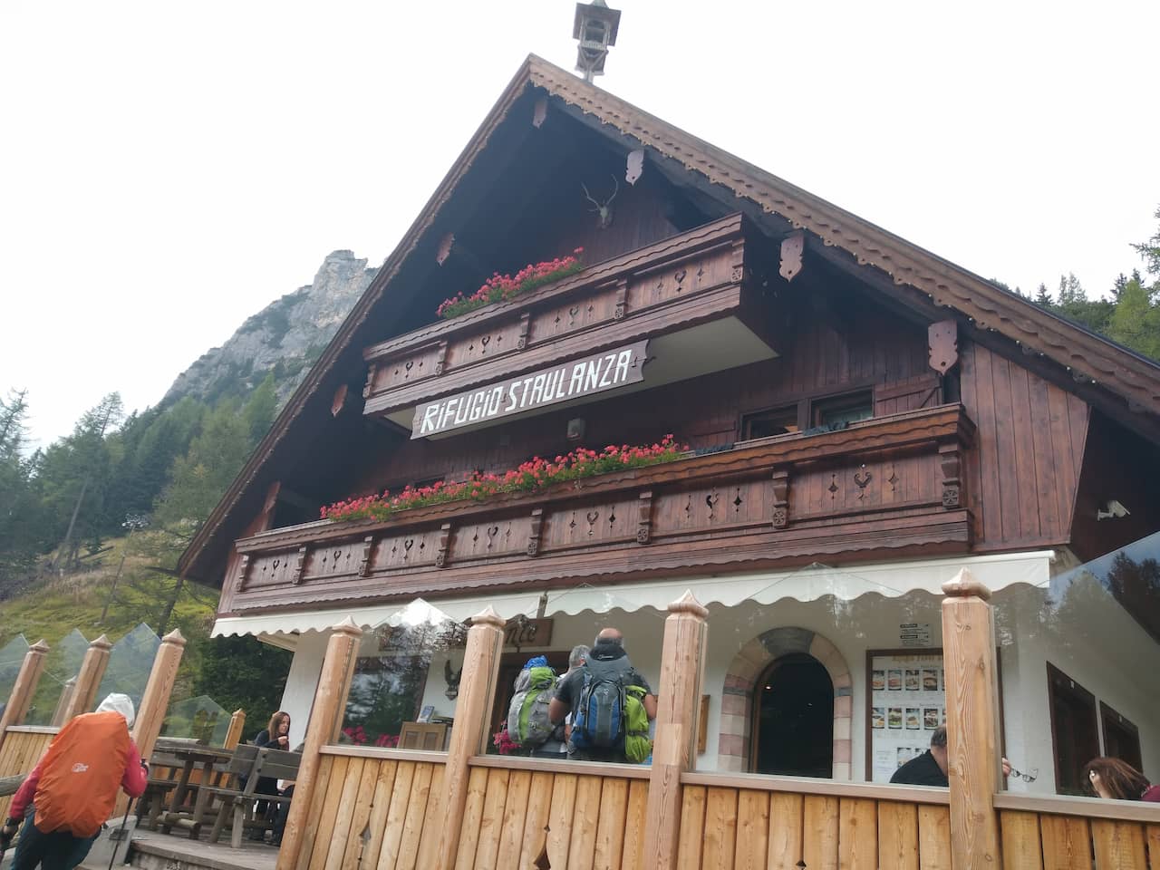
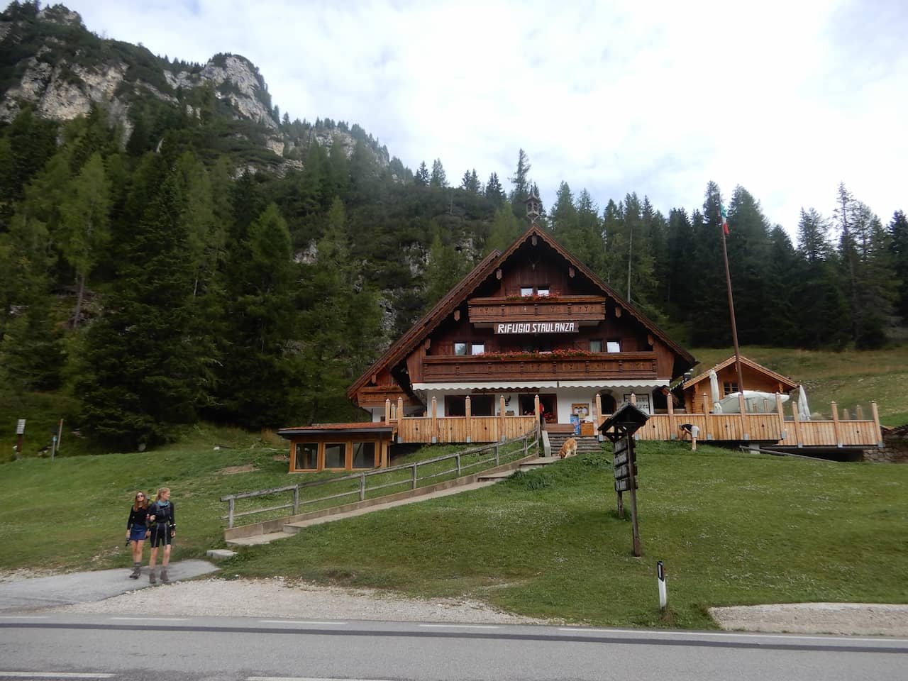
6 – Nuvolau refuge to Passo Staulanza.
7 – Staulanza refuge to Sonino al Coldai
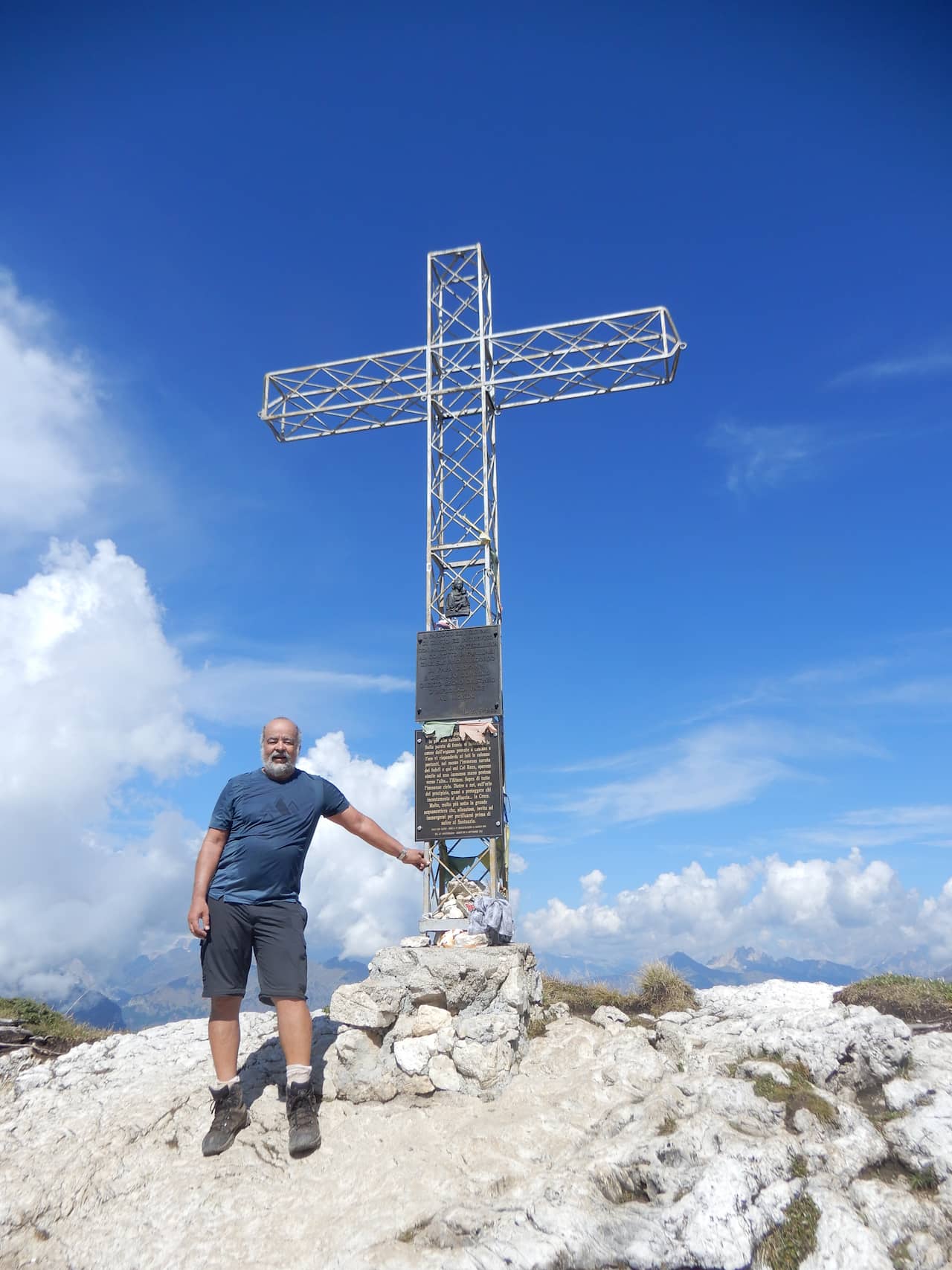
8 – Rest and climb to the top of Coldai
9 – Sonino al Coldai refuge to Vazzoler refuge
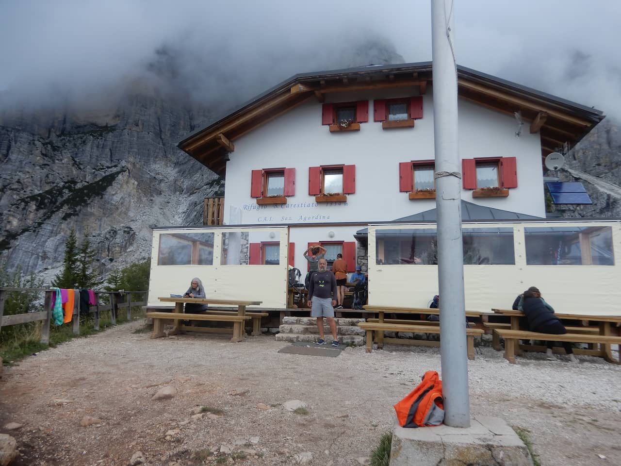
10 – Vazzoler refuge to Carestiato.
11 – Carestiato refuge to Sommariva.
12 – Somariva refuge to Bianchet refuge.
13 – Bianchet refuge – Pisa – Belluno and Venice.
Day 0 - Arrival in Venice
We arranged to meet in Venice.
It would be the best place to go to Cordina D’ampezzo.
And of course I couldn’t miss the opportunity to see Venice again.
Day 1 - Venice to Cortina D'ampezzo and Fiames
We met the night before in Venice.
Early in the morning, we took the bus to Cortina d’Ampezzo, where we had lunch and went out to explore the city.
At the end of the day we went to Fiames where we started our trail.
More information about Cortina D’ Ampezzo.
GET YOUR FREE TRAVEL STARTER KIT
Enter your email and receive planning tips including a step-by-step checklist, how to pack, and more so you can plan your trip like a pro!
Day 2 - Alta via 1 - Fiames (1300 m) to Pomedes refuge (2303 m).
This is where our hike to Alta via1 really began.
We left Fiames at 8 am, took the trail along the road until we passed the Olympia international campsite, which is on the other side of the river, crossed the bridge and then went up to the left.
The trail slowly climbed until we reached Piè Tofana, which is the base of the first cable car.
We continued to the right along trail 407, and shortly after crossing the ski slope we turned left onto the Sentiero dei Camosci trail 405 to the Duca d’Aosta refuge (2100 m).
We stopped for a lovely lunch with wine
I didn’t know it until now, but the quality and quantity of the food at the refuges would be one of the highlights of this crossing.
With renewed energy we continued to climb along trail 420 to the Pomedes refuge.
That day we gained 1000 meters of altitude, but it was worth it for the wonderful view from the Pomedes refuge.
We had a 270 degree view of the Cortina valley to the Cinque Torri, Nuvolau and Averau refuges.
Day 3 - Alta via 1 - Pomedes refuge (2303 meters) to Cinque Torri refuge (2137 m)
We continued our hike through the Dolomites.
We left the Pomedes refuge and went on the Cinque Torri circuit and returned to Pomedes.
Right at the beginning, there was a very steep descent, trail 421, to the Dibona refuge (2083 m).
The trail was very steep and had many loose rocks. What required extra care was the zigzag between the landslides.
After descending to Dibona, we turned left and continued down about 200 meters along the road until we reached the forest via trail 442.
There were several very steep sections, but the trail was very easy to reach Cianzopé, where we crossed the highway and passed a gate where there was a stop for the transfer to go up to the Cinque Torri. We turned left and immediately started the climb to the right on trail 439 to the Cinque Torri.
The climb has some very steep sections, but it is quite easy through the forest until we get close to the Refuge where the forest ends.
Jorge and Roberto went to do the circuit around the towers and Milton and I stayed at the refuge to rest.
After a nice lunch, we started the way back.
Day 4 - Pomedes Refuge (2303 meters) to Forcella Col dei Bos (2331 meters) Pomedes Refuge
I decided to rest and watch the group doing the via ferratas on the Tofana mountain in front of the Pomedes refuge.
For more details on the via ferratas, click here.
Milton, Jorge and Roberto went to Forcella Col de Bos.
They went down to the Dibona refuge, trail 421, and took a trail that goes along the edge of the mountain to Forcella col dei Bos.
On the way back, they took the lower trail to Dibona and climbed up to Pomedes.
Day 5 - Pomedes (2303 meters)- Cinque Torri (2137m) to Nuovalau (2575 meters).
Our first part of the Dolomites is over and now it’s time to move on. We left Pomedes and went down (trail 421) to the Dibona refuge, down through the forest (trail 442) and up (trail 439) to the Cinque Torri.
As we arrived early for lunch, we continued on the trail to the Scoiattoli refuge where, surprisingly, a section of the TEDx Cortina was taking place.
We had lunch and followed trail 439 up to Averau and then Nuvolau.
The Nuvolau refuge is the highest (2,575 meters) and simplest on this trail.
It is at the top of the mountain and we stayed in a room that we called the hobbit hole.
We had to bend down to get in.
Day 6 - Alta via 1- From Nuvolau refuge (2575 meters) to Passo Staulanza refuge (1766 meters)
Our hiking in dolomites continue.
Since we weren’t going to take the ferrata trail, which is super steep, we went for the steep but easy descent to the Averau refuge.
We took trail 464 (which is a road) and at the base of the mountain we turned off and took trail 452.
We followed the side of the mountain, passing under the Nuvolau refuge.
The trail crosses the Giau road pass (2,236 meters), we crossed the road and took trail 436, which goes around the back of Mount Formin. There are wide, grassy plains that make walking easier.
The rain caught us here, and it got really heavy going up to Forcella Giau (2,370 meters).
When we got to the pass, the rain stopped and a wonderful sun came out. From there we followed a gentle and peaceful descent through pastures for sheep, we began a light climb to Forcella Ambrizolla (2,277 meters) and continued a gentle climb to Forcella de Col Duro (2,302 m).
At Forcella de Col Duro we took trail 458 and continued descending, sometimes steeply and sometimes more peacefully, until Forcella Roam where we took trail 467 to the Citta di Fiume refuge (1,918 m).
We stopped for a quick snack and continued on trail 472 on the side of the Monte Pelmo massif (3,168 m) until we reached the Staulanza refuge.
See more information about Dolomites.
Day 7 - Staulanza Pass (1766 meters) to Sonino al Coldai (2132 meters)
These part of hiking in Dolomites is quite easy.
Because most of the then is on the roads.
This would be one of the relatively short days, but due to the lack of signage at critical points we took the wrong path twice.
We left on the road, trail 568 and at the fork we went right and went to Malga Fontana Freda where we ate some cheese and continued on until we discovered that we had gone wrong.
After some information We went back to the fork and went left, soon arriving at Casera Vescova where trail 561 of Alta via 1 turns left and goes up quite steeply and then there is a meadow passing next to the Col dei Baldi refuge.
We went down the road and once again arrived at a fork and took the left which soon reached the cable car to Palafavera where we realized that we had gone wrong again.
The advantage was that the return was very short and we took the right path.
At Casera Piodo, trail 556 climbs very steeply and on top of that it was raining which made progress difficult, making it a little dangerous, but with a little effort and care we reached the Sonino de Coldai refuge.
Day 8 - Rest and climb to the summit of Coldai (2403 meters)
It is a good idea to have a rest day during the long hiking in Dolomites.
Because it can save energy for the next days.
But beside the rest day, we left for some short trail to Lake Coldai, just about 30 minutes of trail.
I went back to the refuge and the three of us went to the Coldai Summit.
It was a quick 2-hour trip back.
A day to enjoy the view, eat well and rest.
Day 9 - Alta via 1 - From Sonino al Coldai (2132 meters) to the Vazzoler refuge (1714 meters)
Trail 560 leads to the Vazzoler refuge, skirting Mount Civetta. Our day began with a beautiful hike to Forcella Codai and its lake of the same name.
As soon as we reached the lake, we could already see that the route would be challenging, with sections of ups and downs between landslides, always skirting the majestic Mount Civetta.
In addition, the descent to the valley seemed immense.
Fortunately, we followed the upper part, which allowed us to admire the spectacular view of the valley below.
Throughout the day, our path skirted Mount Civetta, providing incredible views at every step.
At one point, we decided to stray a little from the main trail to visit the Tissi refuge, located at an altitude of 2,250 meters.
Without a doubt, this was one of the best views of the entire Alta Via 1.
From there, it was possible to see not only the starting point of the trail, but also the entire route taken up to that point.
After a refreshing lunch, we continue our gentle descent around Mount Civetta.
We pass through pastures and forests, skirting the imposing massif, until finally reaching the Vazzoler refuge, ending another memorable day in the mountains.
See the beginning of this memorable hike.
Day 10 - Vazzoler refuge (1714 meters) to Carestiato refuge (1839 meters).
The day begins by descending on trail 555, which is a zigzagging road until we reach 1,400 m, and then we head out onto trail 554, which climbs through a forest to Forcella del Camp (1,933 m).
We spend the day going around the massif to the Carestiato refuge at the other end.
Day 11 - Alta via 1 - Carestiato Refuge (1839 meters) to Sommariva (1857 meters)
Today, in the Dolomites mountains, it is one of the quietest days on the Alta Via 1.
We left the refuge and took trail 549, which was a road, and soon after we started to descend to Duran Pass (1600m). We turned right and followed the road, as it had rained and the trail was muddy. After about 2 kilometers we entered trail 543, which climbed through the forest.
Due to the mud, the roots of the trees and many very narrow places with a very steep incline, it was a bit difficult and there was a risk of slipping and falling into the holes, but everything went well.
We left the forest and walked along the side of the mountain to the Somariva refuge.
GET YOUR FREE TRAVEL STARTER KIT
Enter your email and receive planning tips including a step-by-step checklist, how to pack, and more so you can plan your trip like a pro!
Day 12 - Sommariva refuge (1857 meters) to Bianchet refuge (1245 meters)
Although yesterday was easy today is definitely the most challenging day in Dolomites, as it was only a steep climb up to 2,400 meters (the summit of Mount Zita).
Initially through a forest, then a wall at almost 90 degrees.
We went back on the trail a little and took trail 514, which passes through the Pian de Fontana refuge.
We started a very steep climb up to the Piazedel gate at 2,097 meters.
Where we found a kind of ramp but with a very steep climb until we reached the Forcella de Zita Sudi at 2,351 meters.
This was a very challenging point for those who are afraid of heights, as it is a ridge with a steep and very exposed climb of about 500 meters until we passed Zita de Miezzo at 2,451 meters.
Shortly after completing this stage, there was a very steep descent, a walk on the side of the mountain where there is a huge landslide.
We reached a plateau and soon began to descend vertically. Until we reached the Pian refuge from Fontana (1632 meters)
It was 800 meters of descent in a few kilometers.
We continued on trail 514, descended a little and began to climb until 1800 meters when we began a steep descent and in the middle we took trail 518 to the Bianchet refuge.
Day 13 - Bianchet refuge (1245 meters) - Pisa (448m) - Belluno (370 meters) and Venice.
Our last day on the trail in Dolomites mountain.
The beginning of the trail to 12 days ago seems far away.
A mixture of joy and sadness.
We accomplished our goal, but it’s almost over.
Now we have to go down trail 503, which is a road used to supply the refuge.
However, there are some very difficult spots for cars.
Almost at the end, there is an exit to the left that cuts off the path to the bus stop (la Pisa).
We took the 11:20 bus to Belluno and the 14:10 train to Venice.
Since we had time, we went to lunch.
The end of the trail, but for me the beginning of a new adventure, since I’m going to Croatia.
Let's travel?
Still have questions or need inspiration?
Check out the Blog section, with lots of unmissable tips and articles that will prepare you to discover incredible destinations.
Your next trip starts here
Ready? Then let's hit the road...
Book your flight.
Finding cheap flights can be difficult and stressful, but with the tips from the Blog and using Skyscanner or Google flights, the task can even be enjoyable.
Today, these are the most complete tools on the market
Book your accommodation.
With that in mind, it’s time to choose your accommodation.
The best tool is Booking.com.
For those who are going to use hostels, the best tool is Hostelworld.
I have used both very often and always find the best prices.
Get your insurance
Insurance is something we never want to use, but it is traumatic if we need it and don’t have it.
It will cover the costs of any eventuality of illness, injury, theft and/or cancellations of tickets, hotels, etc.
I have used WorldNomads or Assistcard, which always have the insurance with the coverage that travelers need, in addition to having coverage worldwide.


